Brackenfield

Settlement in Derbyshire North East Derbyshire

England

Brackenfield

Cattle on the side of South Hill Looking up to the southern end of the South Hill ridge.
Cattle on the side of South Hill Credit: Bill Boaden

Brackenfield is a small village located in the county of Derbyshire, England. Situated in the Amber Valley district, it lies near the towns of Matlock and Alfreton. With a population of around 400 inhabitants, Brackenfield offers a peaceful and rural environment.

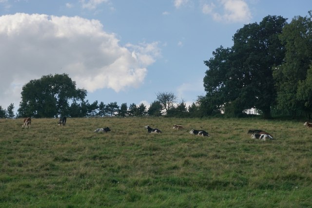
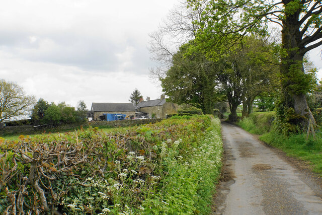
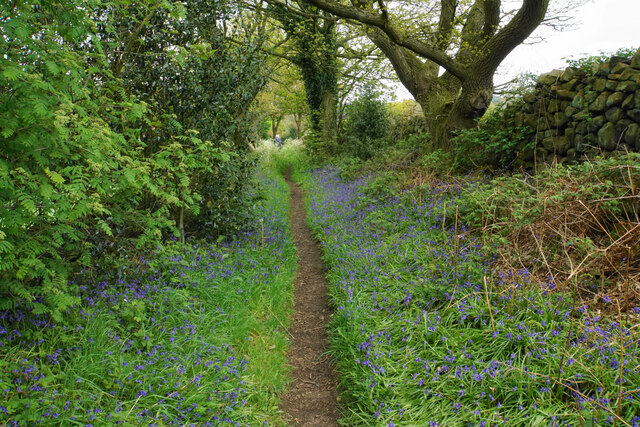
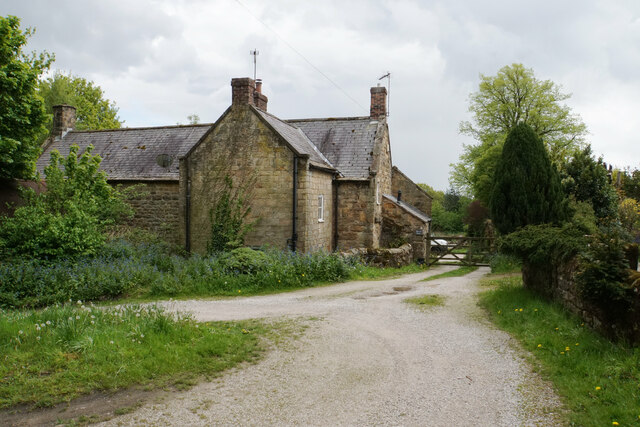
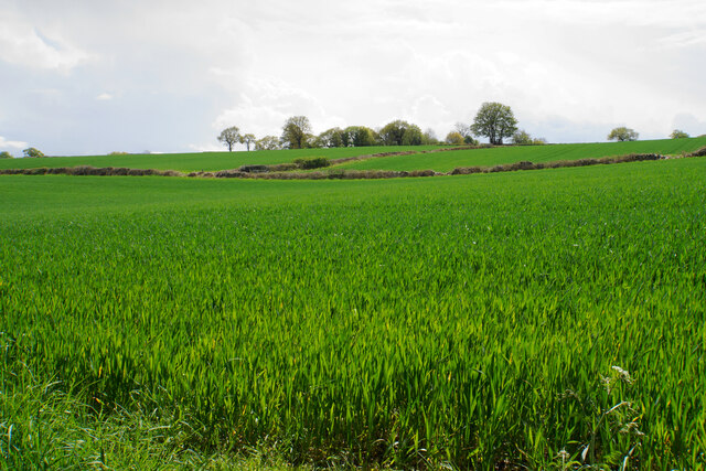
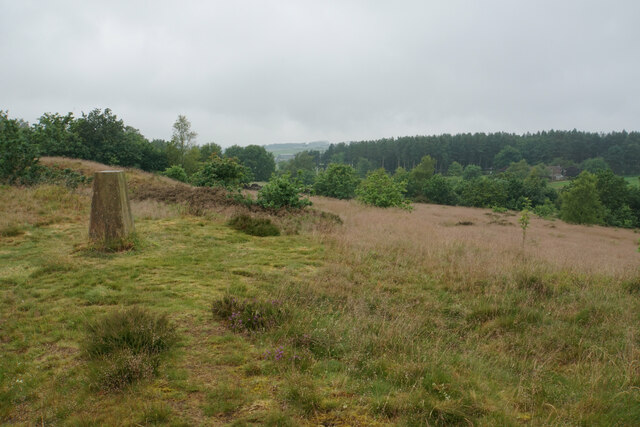
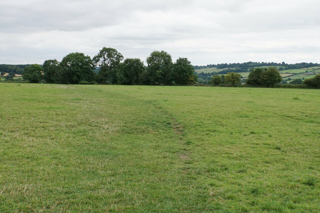
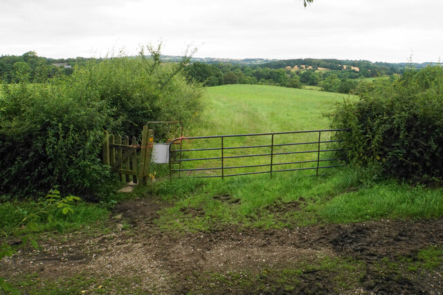
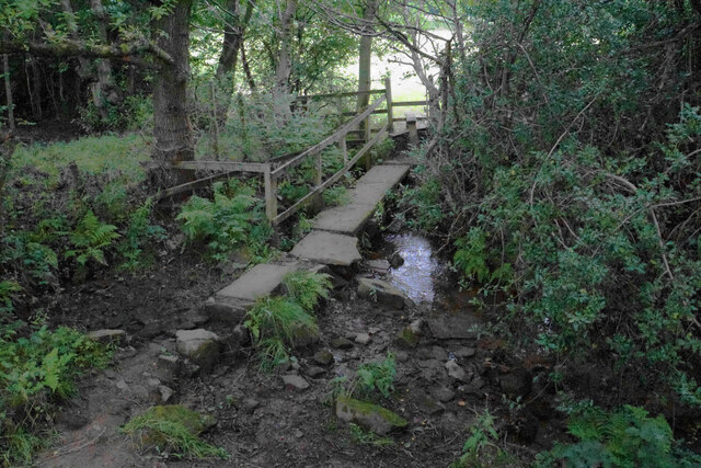
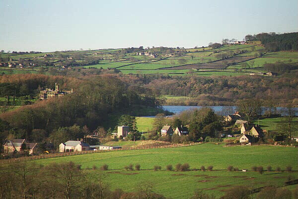
The village is known for its scenic beauty, surrounded by the rolling hills and lush green countryside that characterizes the area. The landscape provides ample opportunities for outdoor activities such as hiking, cycling, and horse riding, attracting nature enthusiasts and tourists alike.

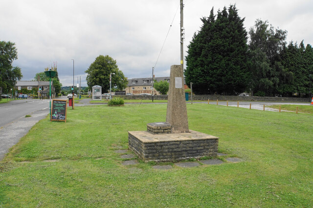
Brackenfield boasts a rich history, with evidence of human settlement dating back to the Roman times. The village features several historic landmarks, including the All Saints Church, a Grade II listed building that dates back to the 12th century. The church's architecture showcases a mix of Norman and Gothic styles.

In terms of amenities, Brackenfield offers a primary school, providing education for local children. The village also has a community hall, which serves as a gathering place for various events and activities. Additionally, there is a pub where locals and visitors can enjoy traditional British food and drinks.

While Brackenfield may be small in size, its close proximity to larger towns and cities ensures that residents have access to a range of services and facilities. The village's peaceful atmosphere, coupled with its stunning natural surroundings, makes it an attractive place to live or visit for those seeking a tranquil retreat in the heart of Derbyshire.

If you have any feedback on the listing, please let us know in the comments section below.

Brackenfield Images

Images are sourced within 2km of 53.126303/-1.453645 or Grid Reference SK3658. Thanks to Geograph Open Source API. All images are credited.

Cattle on the side of South Hill Looking up to the southern end of the South Hill ridge.
Cattle on the side of South Hill
Looking up to the southern end of the South Hill ridge.
Ogston reservoir. Starting/finishing point for our walk with the Ramblers.
Ogston reservoir.
Starting/finishing point for our walk with the Ramblers.
Sailing and Wind-surfing With only a slight breeze the boats and wind-surf boards were not moving very rapidly.
Sailing and Wind-surfing
With only a slight breeze the boats and wind-surf boards were not moving very rapidly.
Stonerows Lane Passing Stonerows Farm on the left.
Stonerows Lane
Passing Stonerows Farm on the left.
Field of wheat above Woolley There is a small glimpse of Ogston Reservoir down below.
Field of wheat above Woolley
There is a small glimpse of Ogston Reservoir down below.
Footpath to Woolley This part of the path is lined by bluebells. Not in view here, but the path also passes a lot of greater stichwort.
Footpath to Woolley
This part of the path is lined by bluebells. Not in view here, but the path also passes a lot of greater stichwort.
New development near Yew Tree Farm A new house is being built. Ogston Reservoir can be seen in the background.
New development near Yew Tree Farm
A new house is being built. Ogston Reservoir can be seen in the background.
Revel Farm In traditional Derbyshire stone.
Revel Farm
In traditional Derbyshire stone.
Ogston Reservoir Used for sailing and bird-watching.
Ogston Reservoir
Used for sailing and bird-watching.
Ogston Reservoir Near the head of the reservoir where the River Amber flows into it. The level of the water is fairly low before the summer season.
Ogston Reservoir
Near the head of the reservoir where the River Amber flows into it. The level of the water is fairly low before the summer season.
Wheat fields near Woolley Looking south from the edge of the valley of the River Amber.
Wheat fields near Woolley
Looking south from the edge of the valley of the River Amber.
Farmland below Coldharbour Lane Wheat and silage grass looking rather wet after rain.
Farmland below Coldharbour Lane
Wheat and silage grass looking rather wet after rain.
Highoredish trig point Set in an area of access land a bit of a walk away from the Highoredish car park and viewpoint. This particular hilltop does not appear to have a name.
Highoredish trig point
Set in an area of access land a bit of a walk away from the Highoredish car park and viewpoint. This particular hilltop does not appear to have a name.
Time capsule in Wessington Situated on the village green with the Horse & Jockey behind. The capsule was placed in 1977 and will be opened in 2027.
Time capsule in Wessington
Situated on the village green with the Horse & Jockey behind. The capsule was placed in 1977 and will be opened in 2027.
Village green at Wessington A small part of what is a very large green.
Village green at Wessington
A small part of what is a very large green.
Footpath to Brackenfield The path crosses fields to the north of Wessington.
Footpath to Brackenfield
The path crosses fields to the north of Wessington.
Footpath to Brackenfield There is a gentle descent along the field edge down to Winny Brook.
Footpath to Brackenfield
There is a gentle descent along the field edge down to Winny Brook.
Footpath over Winny Brook The path links Wessington and Brackenfield.
Footpath over Winny Brook
The path links Wessington and Brackenfield.
Show me another place!

Brackenfield is located at Grid Ref: SK3658 (Lat: 53.126303, Lng: -1.453645)

Administrative County: Derbyshire

District: North East Derbyshire

Police Authority: Derbyshire

What 3 Words

///hiring.daydreams.alike. Near Shirland, Derbyshire

Nearby Locations

Brackenfield

Related Wikis

Brackenfield

Brackenfield is a village and civil parish in the North East Derbyshire district of Derbyshire, England. The population of the civil parish as of the 2011...

Mathersgrave

Mathersgrave is a hamlet in Derbyshire, England. It consists of three houses on Mathers Grave Lane. This lane runs between the A615 Matlock road and School...

Wessington

Wessington is a village and civil parish in the English county of Derbyshire. The population of the civil parish at the 2011 census was 576. It is in the...

Ogston Hall

Ogston Hall is a privately owned 18th-century country house situated at Brackenfield, near Alfreton, Derbyshire. It is a Grade II* listed building. A building...
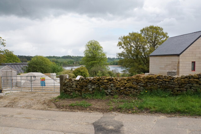
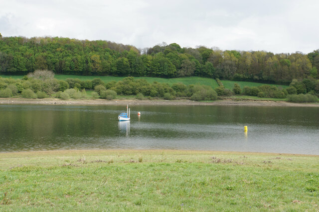
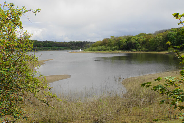
Ogston Reservoir

Ogston Reservoir is a reservoir operated by Severn Trent Water in Derbyshire. It is near the villages of Brackenfield and Ashover and the town of Clay...

Hurst Lane railway station

Hurst Lane railway station served the hamlet of Ogston, North East Derbyshire, England, from 1925 to 1936 on the Ashover Light Railway. == History == The...

Woolley railway station

Woolley railway station was a small station on the Ashover Light Railway and it served the small village of Woolley Moor in North East Derbyshire, England...

Ashover Light Railway

The Ashover Light Railway was a 1 ft 11+1⁄2 in (597 mm) narrow gauge railway in Derbyshire, England that connected Clay Cross and Ashover. It was built...

Nearby Amenities

Located within 500m of 53.126303,-1.453645
Brackenfield
Is In: Derbyshire, England, UK
Place: village
Wikidata: Q2115010
Wikipedia: en:Brackenfield
Lat/Long: 53.1261364/-1.453827
Bench
Ele: 167.8746338
Lat/Long: 53.1265124/-1.4539262
Bus Stop
Bus: yes
Public Transport: platform
Lat/Long: 53.1238084/-1.4503385
Bus Stop
Bus: yes
Ele: 154.8968506
Public Transport: platform
Lat/Long: 53.1237724/-1.4503986
Post Box
Brand: Royal Mail
Brand Wikidata: Q638098
Brand Wikipedia: en:Royal Mail
Ele: 161.8664551
Operator: Royal Mail
Operator Wikidata: Q638098
Ref: DE55 366
Lat/Long: 53.1264867/-1.4526902
Bench
Ele: 165.7116699
Lat/Long: 53.1265021/-1.4534885
Barrier: stile
Steps: 1
Stile: stepover
Lat/Long: 53.1237831/-1.4477266
Barrier: stile
Lat/Long: 53.1247561/-1.4479009
Barrier: stile
Steps: 1
Stile: stepover
Lat/Long: 53.1253483/-1.4482962
Bench
Ele: 169.3166504
Lat/Long: 53.1258568/-1.4534001
Bus Stop
Bus: yes
Ele: 169.7972412
Public Transport: platform
Lat/Long: 53.1259211/-1.4534752
Ele: 177
Lat/Long: 53.1299982/-1.4571693
Ele: 174
Lat/Long: 53.1293889/-1.4564441
Ele: 149.1290283
Lat/Long: 53.1235684/-1.4483306
Ele: 149.3693848
Lat/Long: 53.1235351/-1.4483483
Barrier: stile
Ele: 149.8500977
Steps: 0
Stile: stepover
Lat/Long: 53.1235221/-1.4483434
Ele: 149.8500977
Lat/Long: 53.1234974/-1.4483316
Barrier: stile
Steps: 0
Stile: stepover
Lat/Long: 53.1293913/-1.456536
Note: This joining node is where the main cut path across the field joins
Lat/Long: 53.1239951/-1.4477332
Ele: 152.0000000
Lat/Long: 53.1290307/-1.4517669
Ele: 152.0000000
Lat/Long: 53.1296792/-1.4522121
Barrier: stile
Ele: 151.0000000
Stile: squeezer
Lat/Long: 53.1303973/-1.4527689
Barrier: stile
Ele: 152.0000000
Steps: 1
Stile: stepover
Lat/Long: 53.1290266/-1.4518003
Barrier: stile
Ele: 152.0000000
Steps: 2
Stile: stepover
Lat/Long: 53.1288892/-1.4516688
Ele: 152.0000000
Lat/Long: 53.1288295/-1.45174
Barrier: stile
Ele: 153.0000000
Steps: 0
Stile: stepover
Lat/Long: 53.1280578/-1.4509277
Barrier: stile
Ele: 154.0000000
Material: stone
Steps: 2
Stile: stepover
Lat/Long: 53.126373/-1.4504809
Information: board
Tourism: information
Lat/Long: 53.1265062/-1.4530944
Bus Stop
Bus: yes
Public Transport: platform
Lat/Long: 53.1265652/-1.4559109
Defibrillator
Emergency: defibrillator
Lat/Long: 53.1265518/-1.4528452
The data included in this document is from www.openstreetmap.org. The data is made available under ODbL.

Have you been to Brackenfield?

Leave your review of Brackenfield below (or comments, questions and feedback).