Washbrook Street

Settlement in Suffolk Babergh

England

Washbrook Street

Cottages opposite St Mary's church, Burstall
Cottages opposite St Mary's church, Burstall Credit: Evelyn Simak

The requested URL returned error: 429 Too Many Requests

If you have any feedback on the listing, please let us know in the comments section below.

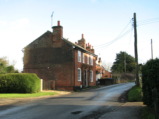
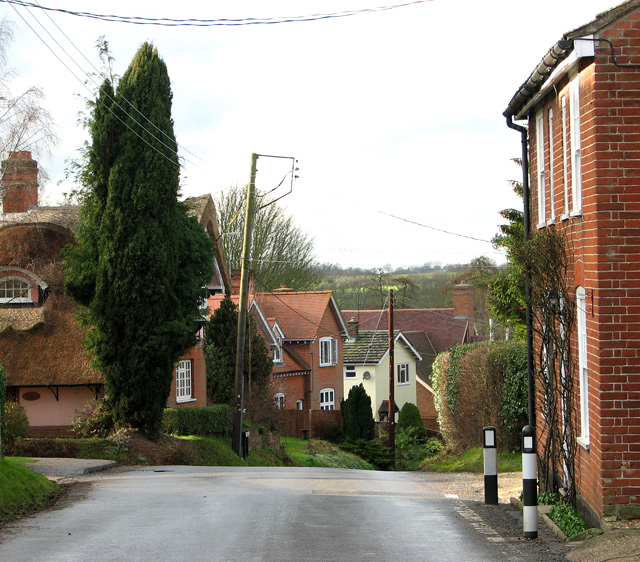
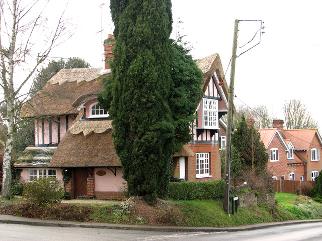
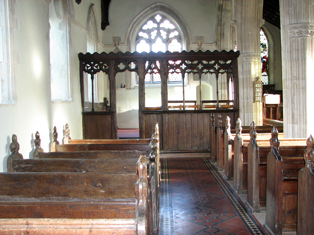
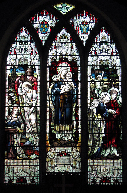
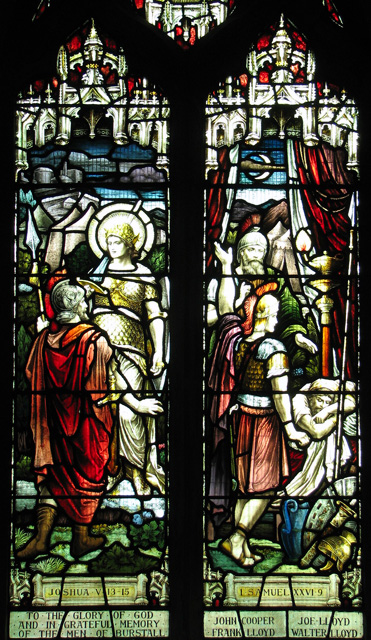
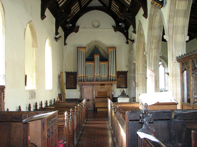
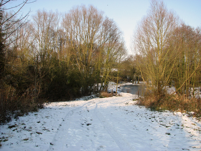
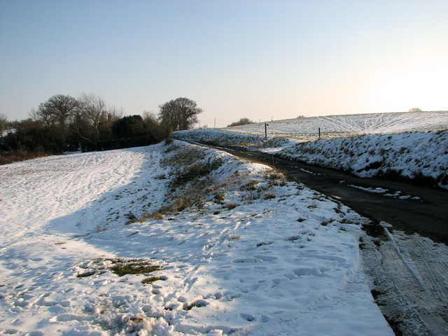
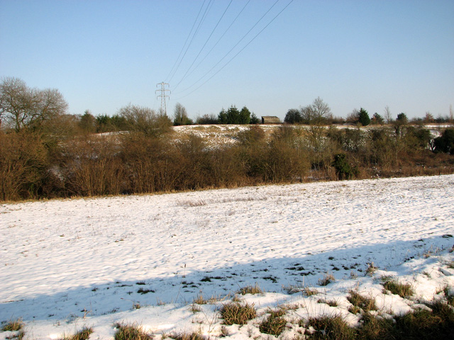
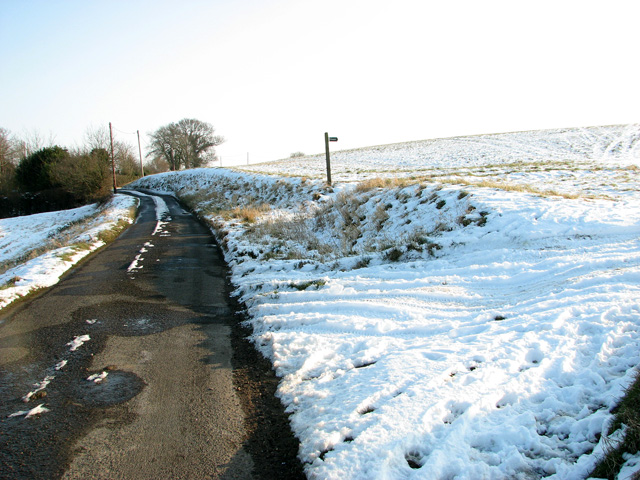
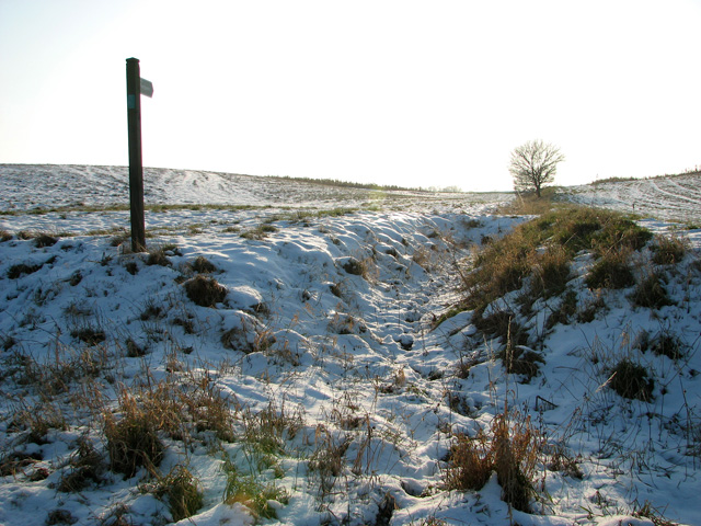
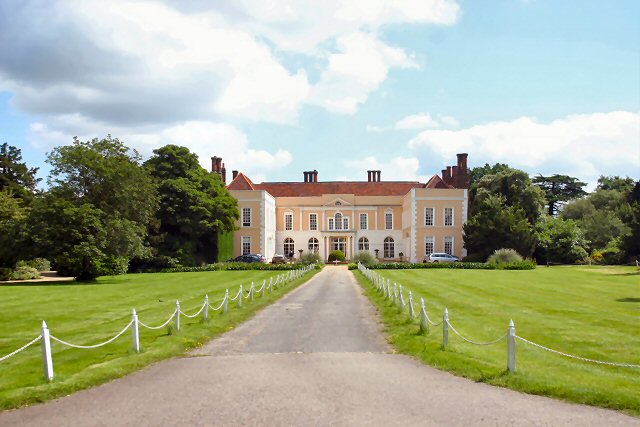
Washbrook Street Images

Images are sourced within 2km of 52.044696/1.071672 or Grid Reference TM1042. Thanks to Geograph Open Source API. All images are credited.

Cottages opposite St Mary's church, Burstall
The Street, Burstall
Burstall Lodge, Burstall This lovely timber-framed, thatched cottage is located in The Street.
Burstall Lodge, Burstall
This lovely timber-framed, thatched cottage is located in The Street.
The village sign in Burstall
St Mary's church in Burstall For more information go to: <a title="https://www.geograph.org.uk/photo/2084825" href="https://www.geograph.org.uk/photo/2084825">Link</a>.
St Mary's church in Burstall
For more information go to: Link.
St Mary's church in Burstall For more information go to: <a title="https://www.geograph.org.uk/photo/2084825" href="https://www.geograph.org.uk/photo/2084825">Link</a>.
St Mary's church in Burstall
For more information go to: Link.
St Mary's church in Burstall - the porch For more information go to: <a title="https://www.geograph.org.uk/photo/2084825" href="https://www.geograph.org.uk/photo/2084825">Link</a>.
St Mary's church in Burstall - the porch
For more information go to: Link.
St Mary's church in Burstall View east. For more information go to: <a title="https://www.geograph.org.uk/photo/2084825" href="https://www.geograph.org.uk/photo/2084825">Link</a>.
St Mary's church in Burstall
View east. For more information go to: Link.
St Mary's church in Burstall North aisle with medieval parclose screen. For more information go to: <a title="https://www.geograph.org.uk/photo/2084825" href="https://www.geograph.org.uk/photo/2084825">Link</a>.
St Mary's church in Burstall
North aisle with medieval parclose screen. For more information go to: Link.
St Mary's church in Burstall East window. For more information go to: <a title="https://www.geograph.org.uk/photo/2084825" href="https://www.geograph.org.uk/photo/2084825">Link</a>.
St Mary's church in Burstall
East window. For more information go to: Link.
St Mary's church in Burstall For more information go to: <a title="https://www.geograph.org.uk/photo/2084825" href="https://www.geograph.org.uk/photo/2084825">Link</a>.
St Mary's church in Burstall
For more information go to: Link.
St Mary's church in Burstall View west. For more information go to: <a title="https://www.geograph.org.uk/photo/2084825" href="https://www.geograph.org.uk/photo/2084825">Link</a>.
St Mary's church in Burstall
View west. For more information go to: Link.
St Mary's church in Burstall Medieval baptismal font. For more information go to: <a title="https://www.geograph.org.uk/photo/2084825" href="https://www.geograph.org.uk/photo/2084825">Link</a>.
St Mary's church in Burstall
Medieval baptismal font. For more information go to: Link.
Track to frozen pond near Hintlesham
Country lane to Chattisham
Snowy pastures east of Hintlesham
Snowy fields east of Hintlesham
Field boundary ditch east of Hintlesham
Show me another place!

Washbrook Street is located at Grid Ref: TM1042 (Lat: 52.044696, Lng: 1.071672)

Administrative County: Suffolk

District: Babergh

Police Authority: Suffolk

What 3 Words

///transmits.profiled.daily. Near Bramford, Suffolk

Related Wikis

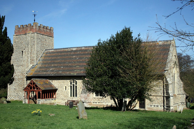
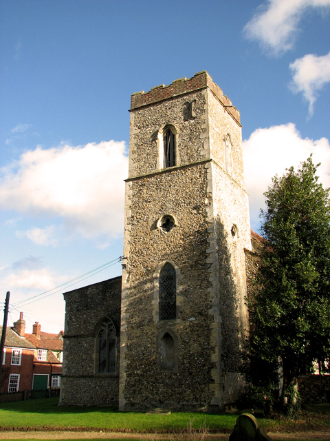
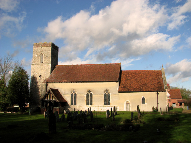
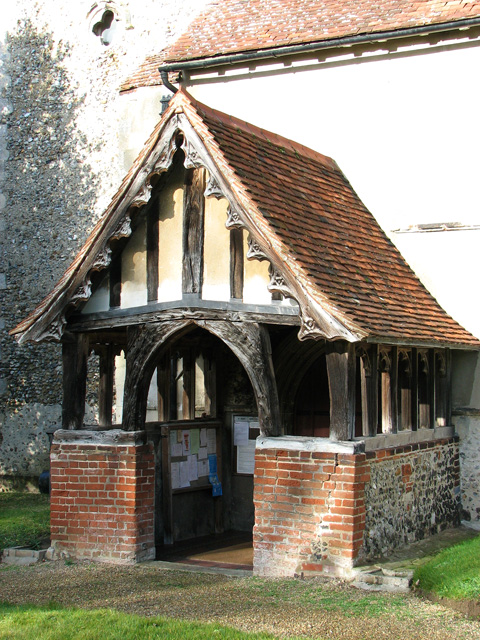
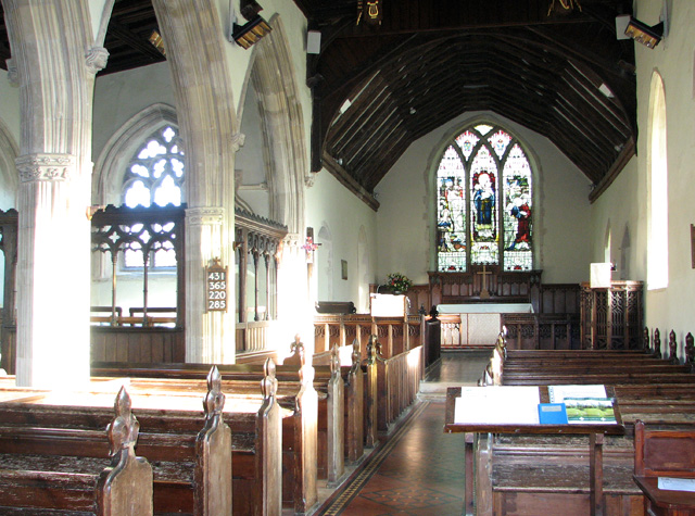
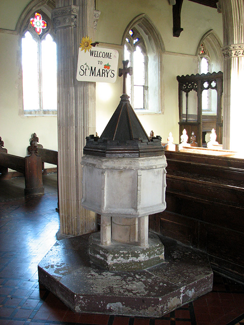
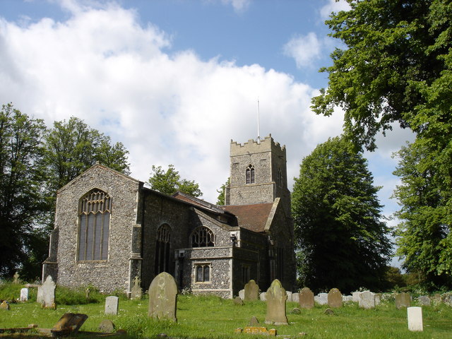
St Mary's Church, Washbrook

St Mary's Church is a redundant Anglican church in the village of Washbrook, Suffolk, England. It is recorded in the National Heritage List for England...

Washbrook

Washbrook is a village and former civil parish 3 miles (4.8 km) south west of Ipswich, now in the parish of Copdock and Washbrook, in the Babergh district...

Hintlesham

Hintlesham is a small village in Suffolk, England, situated roughly halfway between Ipswich and Hadleigh. It is in the Belstead Brook electoral division...

Copdock

Copdock is a village and former civil parish, now in the parish of Copdock and Washbrook, in the Babergh district, in the county of Suffolk, England. In...

Nearby Amenities

Located within 500m of 52.044696,1.071672
Power: tower
Lat/Long: 52.048147/1.0670455
Crossing
Lat/Long: 52.0454362/1.0677106
Post Box
Operator: Royal Mail
Post Box Mounting: pier
Post Box Type: lamp
Ref: IP8 1257
Royal Cypher: EIIR
Lat/Long: 52.0445281/1.0789776
The data included in this document is from www.openstreetmap.org. The data is made available under ODbL.

Have you been to Washbrook Street?

Leave your review of Washbrook Street below (or comments, questions and feedback).