Washerwall

Settlement in Staffordshire Staffordshire Moorlands

England

Washerwall

Car park for the Red Cow public house On the A52, Ash Bank Road
Car park for the Red Cow public house Credit: Eirian Evans

Washerwall is a quaint village located in the county of Staffordshire, England. Situated in the heart of the West Midlands region, Washerwall is surrounded by picturesque landscapes and offers a peaceful retreat for its residents. The village is nestled between the larger towns of Cannock and Stafford, offering easy access to amenities and services.

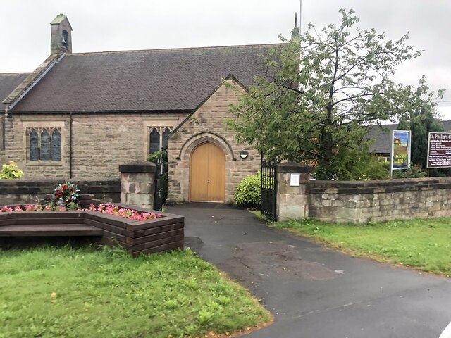
With a population of approximately 1,500 people, Washerwall maintains a close-knit community atmosphere. The village is known for its charming architecture, featuring traditional stone cottages and well-maintained gardens. The local church, St. Mary's, is a prominent landmark and serves as a focal point for community events and gatherings.

Nature enthusiasts will appreciate the abundance of outdoor spaces surrounding Washerwall. The village is ideally situated near Cannock Chase, an Area of Outstanding Natural Beauty. This provides ample opportunities for hiking, cycling, and wildlife spotting.

Washerwall benefits from its proximity to nearby towns, which offer a range of amenities such as shopping centers, restaurants, and leisure facilities. Residents can easily access these services, while still enjoying the tranquility of village life.

Transport links in Washerwall are well-developed, with regular bus services connecting the village to surrounding areas. Additionally, the nearby M6 motorway offers convenient access to major cities like Birmingham and Manchester.

In summary, Washerwall is a charming village in Staffordshire that offers a peaceful lifestyle amid beautiful natural surroundings. With its strong sense of community and convenient location, it is an ideal place to live for those seeking a balance between rural tranquility and access to urban amenities.

If you have any feedback on the listing, please let us know in the comments section below.
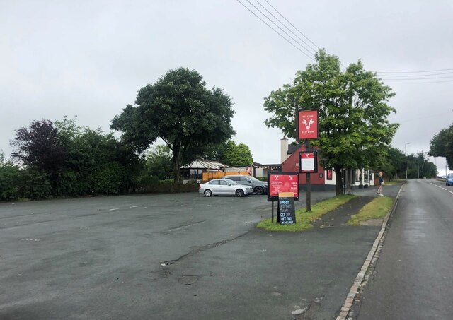
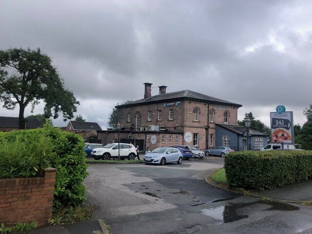
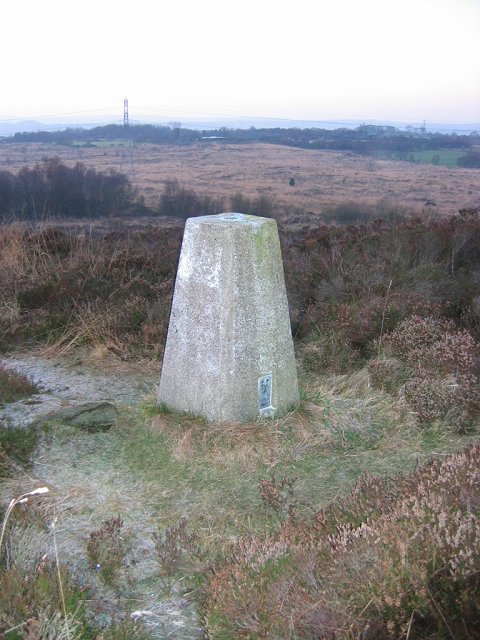
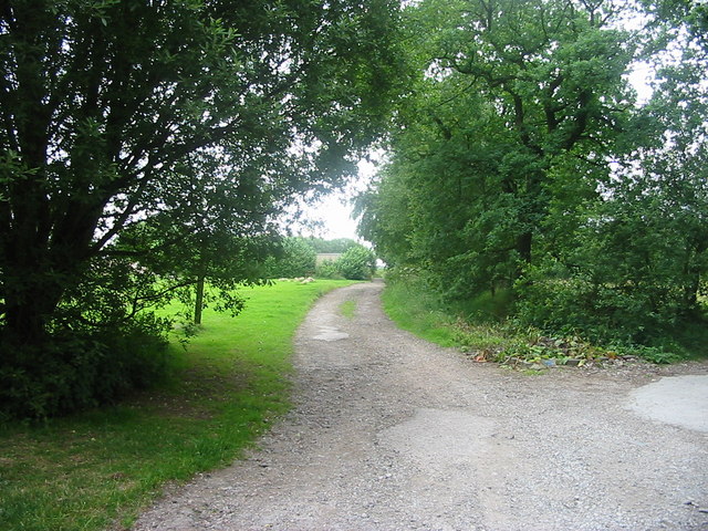
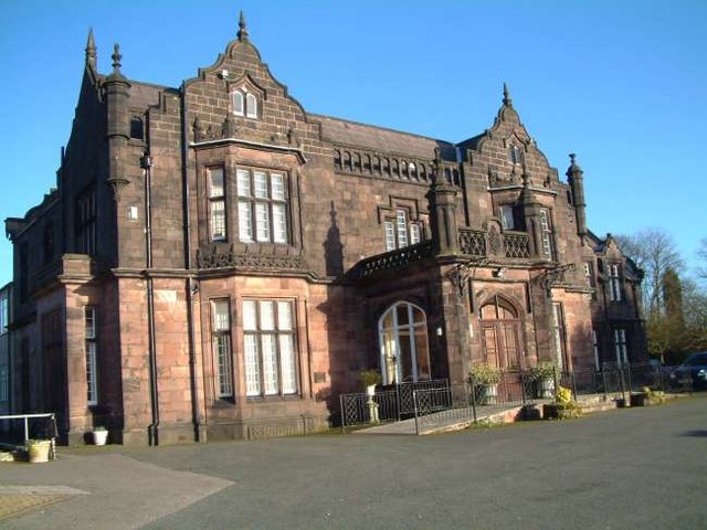
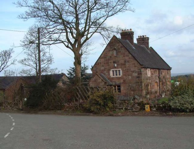
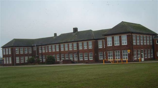
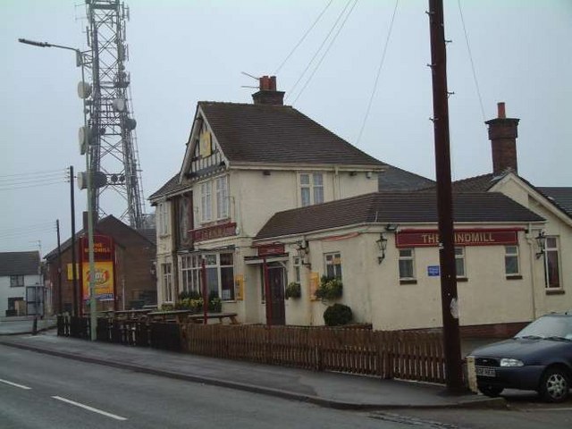
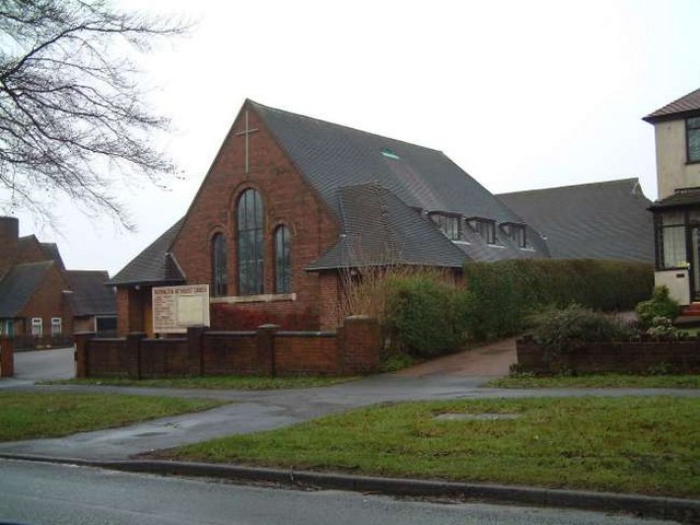
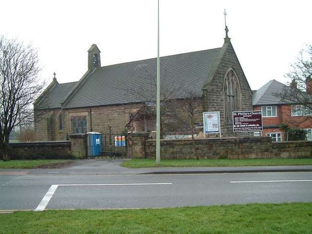
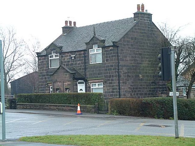
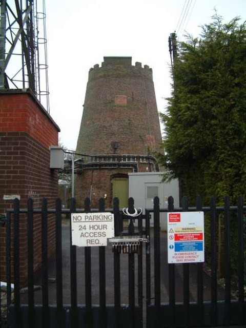
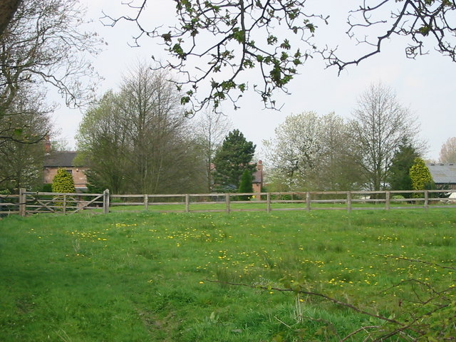
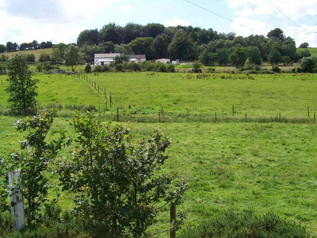
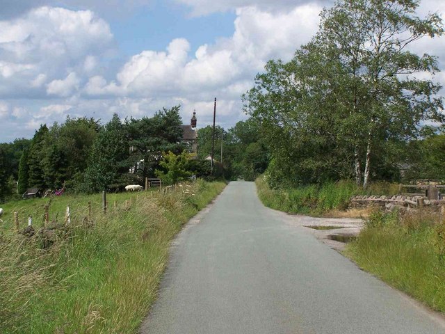
Washerwall Images

Images are sourced within 2km of 53.026763/-2.0998086 or Grid Reference SJ9347. Thanks to Geograph Open Source API. All images are credited.

Car park for the Red Cow public house On the A52, Ash Bank Road
Car park for the Red Cow public house
On the A52, Ash Bank Road
St Philip's Church, Werrington
The Ashbank Pizza and carvery at Werrington
The Ashbank
Pizza and carvery at Werrington
Wetley Moor Trigpoint on the edge of a substantial heather moorland remnant.  Near Stoke on Trent, the  Pennine grits are making their presence felt with characteristic low fertility.
Wetley Moor
Trigpoint on the edge of a substantial heather moorland remnant. Near Stoke on Trent, the Pennine grits are making their presence felt with characteristic low fertility.
Wetley Moor Entrance One of the many access points to Wetley Moor off Brookhouse Lane. The moor is common land and is an area of Special Scientific Interest.
Wetley Moor Entrance
One of the many access points to Wetley Moor off Brookhouse Lane. The moor is common land and is an area of Special Scientific Interest.
Ash Hall Job Meigh (a local potter) became the owner of the Ash Estate on 27th of March 1837. Construction of the house must have begun almost immediately because the date “1837” appears on the rainwater heads on the front of the building.

1840 account of the hall: "The exterior is of hard stone, (gotten on the estate,) of an Ash colour, giving the building an air of antiquity which harmonizes with the stile (sic.) of the architecture, being that of the manor house or Tudor era, with oriel windows, surmounted with pediments or pointed gables. An elegant portico, composed of three Gothic arches, turreted and embattled, adorns the front. The adjoining lawn is tastefully laid out and planted; and altogether, we must characterize Ash Hall as one of the most beautiful seats we have had occasion to notice.”
Ash Hall
Job Meigh (a local potter) became the owner of the Ash Estate on 27th of March 1837. Construction of the house must have begun almost immediately because the date “1837” appears on the rainwater heads on the front of the building. 1840 account of the hall: "The exterior is of hard stone, (gotten on the estate,) of an Ash colour, giving the building an air of antiquity which harmonizes with the stile (sic.) of the architecture, being that of the manor house or Tudor era, with oriel windows, surmounted with pediments or pointed gables. An elegant portico, composed of three Gothic arches, turreted and embattled, adorns the front. The adjoining lawn is tastefully laid out and planted; and altogether, we must characterize Ash Hall as one of the most beautiful seats we have had occasion to notice.”
Greenfields Farm, Kerry Hill On Jack Hayes Lane near to the junction with Eaves Lane at Kerry Hill, Stoke-on-Trent
Greenfields Farm, Kerry Hill
On Jack Hayes Lane near to the junction with Eaves Lane at Kerry Hill, Stoke-on-Trent
Moorside High School, Cellarhead Moorside High School is based in Cellarhead, Werrington. It has around 800 students aged between 11-18.
Moorside High School, Cellarhead
Moorside High School is based in Cellarhead, Werrington. It has around 800 students aged between 11-18.
The Windmill Public House Situated on Ash Bank Road. Just to the left of the pub is an old windmill and in the grounds is a transmission mast.
The Windmill Public House
Situated on Ash Bank Road. Just to the left of the pub is an old windmill and in the grounds is a transmission mast.
Methodist Church, Werrington Methodist Church, Ash Bank, Werrington, Staffordshire Moorlands
Methodist Church, Werrington
Methodist Church, Ash Bank, Werrington, Staffordshire Moorlands
St. Philip's Church, Werrington Corner of Ash bank Road and Salters Lane
St. Philip's Church, Werrington
Corner of Ash bank Road and Salters Lane
Cottages at Salters Lane, Werrington Ash Estate cottages on the corner of Ashbank road and Salters Lane

In 1854 Job Meigh (a famous potter) built a pair of labourers cottages at the corner of Salters Lane and Ash Bank Road. 

One of the occupiers was William Bonnell who was probably employed as the estate carpenter between about 1841 and 1871. He originally lived at Lawsons Farm on Brookhouse Lane but by 1871 was living in one of the new cottages.

See Job Meigh's hall:- <a title="https://www.geograph.org.uk/photo/335671" href="https://www.geograph.org.uk/photo/335671">Link</a>
Cottages at Salters Lane, Werrington
Ash Estate cottages on the corner of Ashbank road and Salters Lane In 1854 Job Meigh (a famous potter) built a pair of labourers cottages at the corner of Salters Lane and Ash Bank Road. One of the occupiers was William Bonnell who was probably employed as the estate carpenter between about 1841 and 1871. He originally lived at Lawsons Farm on Brookhouse Lane but by 1871 was living in one of the new cottages. See Job Meigh's hall:- Link
Windmill, Werrington Standing on the highest point of the village of Werrington is the Old Windmill. It is said to date from 1730.
The last miller was Mark Greatbatch who is listed in White's Gazetteer of 1851.
Towards the end of its life it was used for grinding coal for the manufacture of 'brickettes'
In the grounds is a transmission mast and nearby is The Windmill public house:- <a title="https://www.geograph.org.uk/photo/340367" href="https://www.geograph.org.uk/photo/340367">Link</a>
Windmill, Werrington
Standing on the highest point of the village of Werrington is the Old Windmill. It is said to date from 1730. The last miller was Mark Greatbatch who is listed in White's Gazetteer of 1851. Towards the end of its life it was used for grinding coal for the manufacture of 'brickettes' In the grounds is a transmission mast and nearby is The Windmill public house:- Link
Transmission Tower, Werrington Situated on the highest point in Werrington sits this transmission tower. It is in the grounds of an old windmill:-
<a title="https://www.geograph.org.uk/photo/341006" href="https://www.geograph.org.uk/photo/341006">Link</a>
Transmission Tower, Werrington
Situated on the highest point in Werrington sits this transmission tower. It is in the grounds of an old windmill:- Link
Springfield House, Hulme Looking North in Hulme Lane close to the village of Hulme in the Staffordshire Moorlands District
Springfield House, Hulme
Looking North in Hulme Lane close to the village of Hulme in the Staffordshire Moorlands District
Salthouse Farm Situated on Salthouse Lane, Ash Bank, Salthouse Farm can be seen peeping through the trees
Salthouse Farm
Situated on Salthouse Lane, Ash Bank, Salthouse Farm can be seen peeping through the trees
The Grove
The Grove
Brookhouse
Brookhouse
Show me another place!

Washerwall is located at Grid Ref: SJ9347 (Lat: 53.026763, Lng: -2.0998086)

Administrative County: Staffordshire

District: Staffordshire Moorlands

Police Authority: Staffordshire

What 3 Words

///expose.unable.layers. Near Longton, Staffordshire

Related Wikis

Ash Bank

Ash Bank is a small village in Stoke-on-Trent near to Werrington. Located in the village is Ash Hall, an 1830s mansion built by Broad Street Pottery Works...

Armshead

Armshead is a hamlet in Staffordshire, England. Population details for the 2011 census can be found under Cheddleton.

Werrington, Staffordshire

Werrington is a village in the Staffordshire Moorlands district of Staffordshire, England, about 5 miles (8 km) east of Stoke-on-Trent city centre. The...

HM Prison Werrington

HMYOI Werrington (also known as Werrington Juvenile Centre) is a male juveniles' prison located in the village of Werrington in Staffordshire, England...

Nearby Amenities

Located within 500m of 53.026763,-2.0998086
Postal Code: ST2
Lat/Long: 53.0259011/-2.1060669
Barrier: fence
Bicycle: yes
Bollard: fixed
Foot: yes
Horse: no
Motor Vehicle: no
Lat/Long: 53.028338/-2.0932523
Turning Circle
Source: Bing
Lat/Long: 53.0245848/-2.0940265
Bus Stop
Shops
Bus: yes
Naptan AtcoCode: 3800C813700
Naptan Bearing: NW
Naptan CommonName: Shops
Naptan Indicator: Adj
Naptan Landmark: Shops
Naptan PlusbusZoneRef: STOKEOT
Naptan Street: Washerwall Lane
Naptan Verified: no
Public Transport: platform
Source: naptan_import
Lat/Long: 53.0236287/-2.0953726
Addr Housenumber: 1
Addr Street: Uplands Croft
Lat/Long: 53.0247057/-2.0995661
Addr Housenumber: 2
Addr Street: Uplands Croft
Lat/Long: 53.0244506/-2.0998081
Addr Housenumber: 5
Addr Street: Marsh Close
Lat/Long: 53.0253813/-2.0993922
Addr Housenumber: 4
Addr Street: Marsh Close
Lat/Long: 53.0253982/-2.0991039
Addr Housenumber: 1
Addr Street: Marsh Close
Lat/Long: 53.0251348/-2.0987987
Addr Housenumber: 18
Addr Street: Marsh Close
Lat/Long: 53.0263285/-2.1000869
Addr Housenumber: 78
Addr Street: Uplands Croft
Lat/Long: 53.0268008/-2.1004749
Addr Housenumber: 65
Addr Street: Uplands Croft
Lat/Long: 53.0267059/-2.1001955
Power: tower
Lat/Long: 53.0261159/-2.1068378
Power: tower
Lat/Long: 53.0282322/-2.1057372
Bicycle: yes
Foot: yes
Ford: yes
Motor Vehicle: yes
Lat/Long: 53.0298423/-2.1032235
Washerwall Well
Man Made: water_well
Lat/Long: 53.027246/-2.1008776
Turning Circle
Source: Bing
Lat/Long: 53.0251013/-2.0943131
Turning Circle
Source: Bing
Lat/Long: 53.025102/-2.0944143
The data included in this document is from www.openstreetmap.org. The data is made available under ODbL.

Have you been to Washerwall?

Leave your review of Washerwall below (or comments, questions and feedback).