Alder Carr
Wood, Forest in Suffolk Babergh
England
Alder Carr
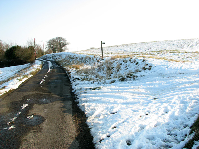
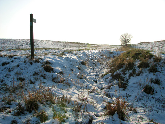
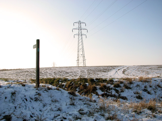
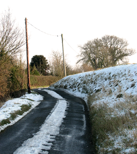
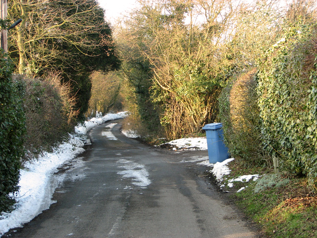
Alder Carr, located in Suffolk, England, is a picturesque and biodiverse woodland area known for its thriving alder trees and rich forest ecosystem. Spanning over a vast area, this natural habitat offers a serene and tranquil environment for visitors to explore and appreciate the beauty of nature.
The dominant feature of Alder Carr is its extensive grove of alder trees. These deciduous trees, known for their ability to grow in wet and waterlogged environments, create a unique and enchanting landscape. The trees are characterized by their slender trunks, smooth bark, and distinctive dark green leaves. In the spring, the alders bloom with clusters of small, yellowish flowers, which later develop into cones that release seeds to propagate new growth.
The forest floor of Alder Carr is teeming with a diverse range of plant species, creating a haven for wildlife. Among the flora that can be found are bluebells, wood sorrel, and wild garlic, which add vibrant splashes of color to the woodland floor. The wetter areas are home to a variety of mosses and ferns, creating a lush and verdant environment.
Wildlife thrives in Alder Carr, with various species finding refuge in its dense vegetation. Birdwatchers can spot a variety of avian species, including woodpeckers, nuthatches, and owls. Mammals such as badgers, foxes, and deer can also be encountered, as well as amphibians like frogs and newts. In addition, the woodland is a haven for insects, with butterflies, dragonflies, and beetles being common sights.
Alder Carr in Suffolk offers a captivating and biodiverse experience for nature lovers and provides a valuable habitat for numerous plant and animal species.
If you have any feedback on the listing, please let us know in the comments section below.
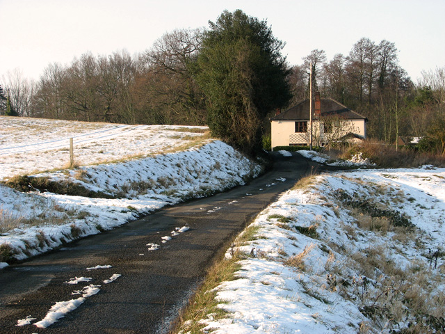
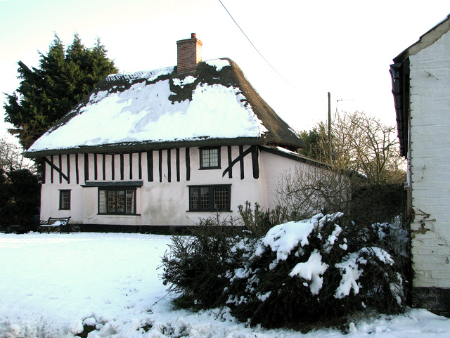
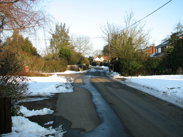
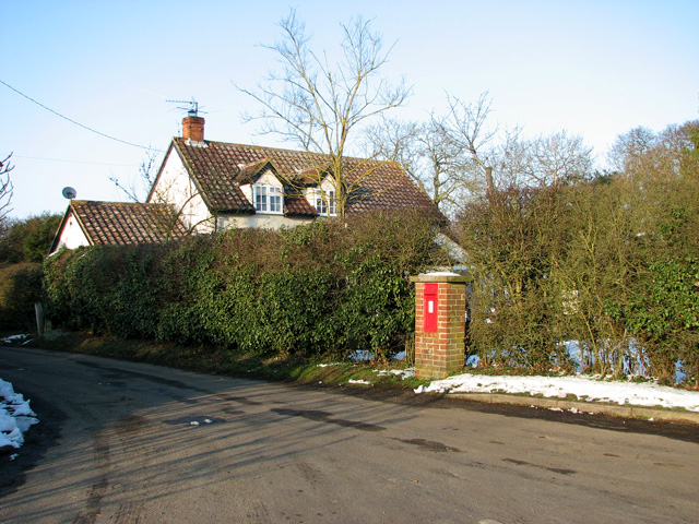
Alder Carr Images
Images are sourced within 2km of 52.039721/1.0651408 or Grid Reference TM1042. Thanks to Geograph Open Source API. All images are credited.
Alder Carr is located at Grid Ref: TM1042 (Lat: 52.039721, Lng: 1.0651408)
Administrative County: Suffolk
District: Babergh
Police Authority: Suffolk
What 3 Words
///reserving.recap.tenure. Near Capel St Mary, Suffolk
Nearby Locations
Related Wikis
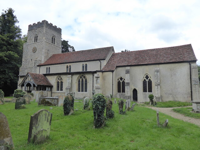
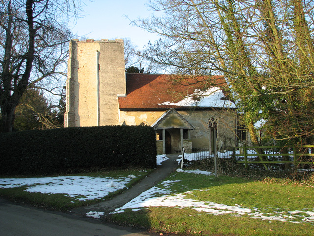
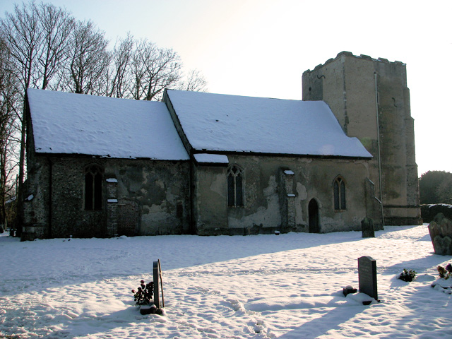
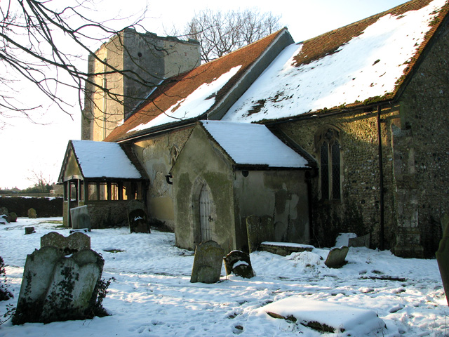
St Mary's Church, Washbrook
St Mary's Church is a redundant Anglican church in the village of Washbrook, Suffolk, England. It is recorded in the National Heritage List for England...
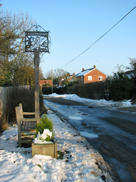
Chattisham
Chattisham is a village and civil parish in Suffolk, England. Located around two miles west of Ipswich and half a mile south of the A1071, it is part of...
Copdock and Washbrook
Copdock and Washbrook is a civil parish in the Babergh district in the county of Suffolk, England. It covers the villages of Copdock and Washbrook, as...
Copdock
Copdock is a village and former civil parish, now in the parish of Copdock and Washbrook, in the Babergh district, in the county of Suffolk, England. In...
Washbrook
Washbrook is a village and former civil parish 3 miles (4.8 km) south west of Ipswich, now in the parish of Copdock and Washbrook, in the Babergh district...
Hintlesham
Hintlesham is a small village in Suffolk, England, situated roughly halfway between Ipswich and Hadleigh. It is in the Belstead Brook electoral division...

Old London Road
Old London Road is a cricket ground in Copdock, Suffolk. The first recorded match on the ground was in 1847, when the Gentlemen of Suffolk played the...

Burstall, Suffolk
Burstall is a village and civil parish in Suffolk, England. Located around 4 miles (6 km) west of Ipswich, it is part of Babergh district. The parish includes...
Related Videos

To promote-Meghalaya tourism
Meghalaya tourism- video compiled to attract tourists to experience beautiful and majestic Meghalaya This video shows the ...

Parrot Class - Walking through the Jungle
Parrot Class - Walking through the Jungle.
एक उनाड दिवस माझ्या बाळा सोबत 😍#shorts #travel #uk #motherdaughter #viral
ytshorts #indianmominuk #marathimulgiinuk #travel #uk #nature #journey #motherdaughter #family #goviral #beautiful ...
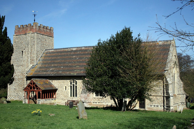
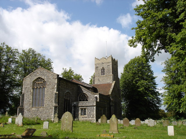
St Nicholas Church, Hintlesham, Suffolk
This church stands back from a very busy road. it has a late perpendicular window with a plain west door. it has a clerestory but ...
Nearby Amenities
Located within 500m of 52.039721,1.0651408Have you been to Alder Carr?
Leave your review of Alder Carr below (or comments, questions and feedback).