Roundhills Plantation
Wood, Forest in Norfolk North Norfolk
England
Roundhills Plantation
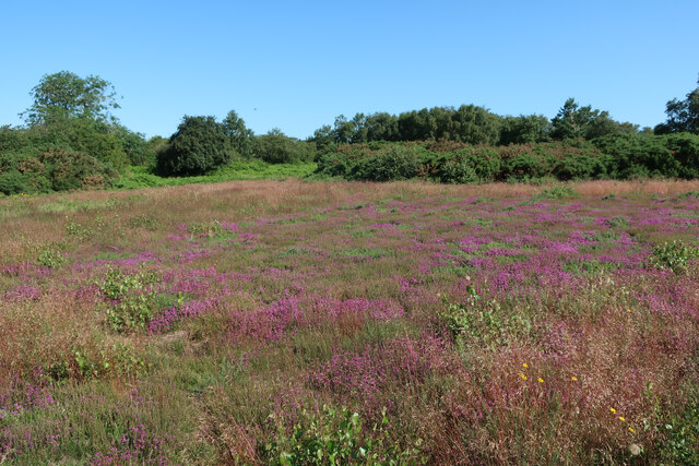
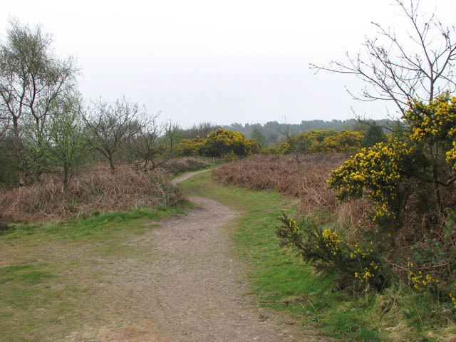
Roundhills Plantation, located in Norfolk, is a picturesque woodland area that covers a vast expanse of land. Situated in the heart of Norfolk's countryside, Roundhills Plantation encompasses a diverse range of trees and plants, making it an ideal destination for nature enthusiasts and outdoor lovers alike.
This woodland is predominantly composed of dense forests, offering visitors a serene and tranquil environment to explore. The plantation boasts an impressive variety of tree species, including oak, beech, birch, and pine, which contribute to the area's rich biodiversity. These trees provide a habitat for a wide array of wildlife, such as deer, squirrels, and numerous bird species.
The plantation is crisscrossed with well-maintained trails, allowing visitors to embark on leisurely walks or more challenging hikes. These paths meander through the woodland, leading explorers to hidden gems like enchanting glades, babbling brooks, and secluded ponds. The plantation is also home to a number of picnic areas, providing visitors with an opportunity to relax and soak in the tranquil atmosphere.
Roundhills Plantation is a popular destination for nature education and conservation efforts. The local authorities conduct guided tours and educational programs to raise awareness about the importance of preserving and protecting the woodland ecosystem. This dedication to conservation ensures that Roundhills Plantation remains a pristine natural treasure for future generations to enjoy.
Overall, Roundhills Plantation in Norfolk is a haven of natural beauty, offering visitors an immersive experience in the heart of the countryside. With its diverse array of trees, wildlife, and well-maintained trails, this woodland is an ideal destination for those seeking a peaceful retreat or an opportunity to reconnect with nature.
If you have any feedback on the listing, please let us know in the comments section below.
Roundhills Plantation Images
Images are sourced within 2km of 52.944127/1.128982 or Grid Reference TG1043. Thanks to Geograph Open Source API. All images are credited.


Roundhills Plantation is located at Grid Ref: TG1043 (Lat: 52.944127, Lng: 1.128982)
Administrative County: Norfolk
District: North Norfolk
Police Authority: Norfolk
What 3 Words
///thank.precluded.backfired. Near Sheringham, Norfolk
Nearby Locations
Related Wikis
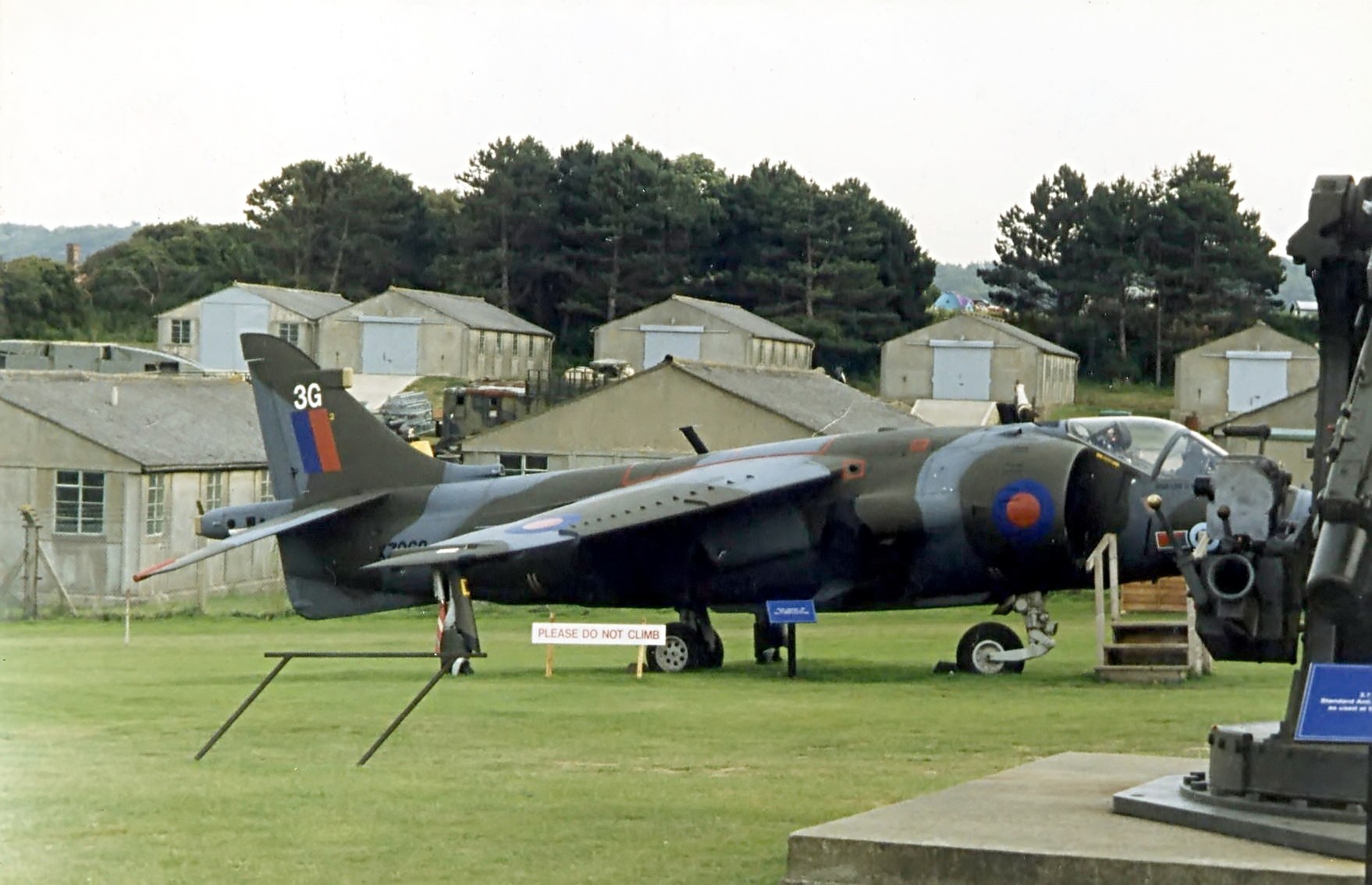
Muckleburgh Collection
The Muckleburgh Collection is a military museum sited on a former military camp at Weybourne, on the North Norfolk coast, England. It was opened to the...
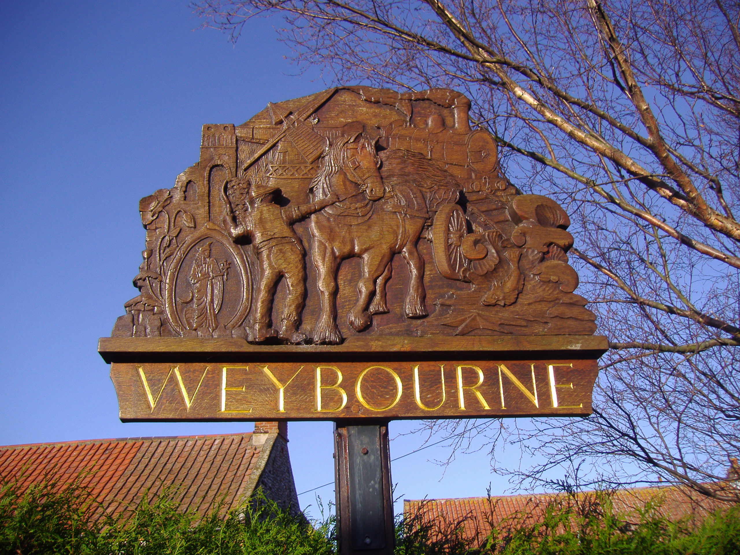
Weybourne, Norfolk
Weybourne is a village on the coast of North Norfolk, England. The village is surrounded by arable fields, woodland and heathland; it straddles the A149...
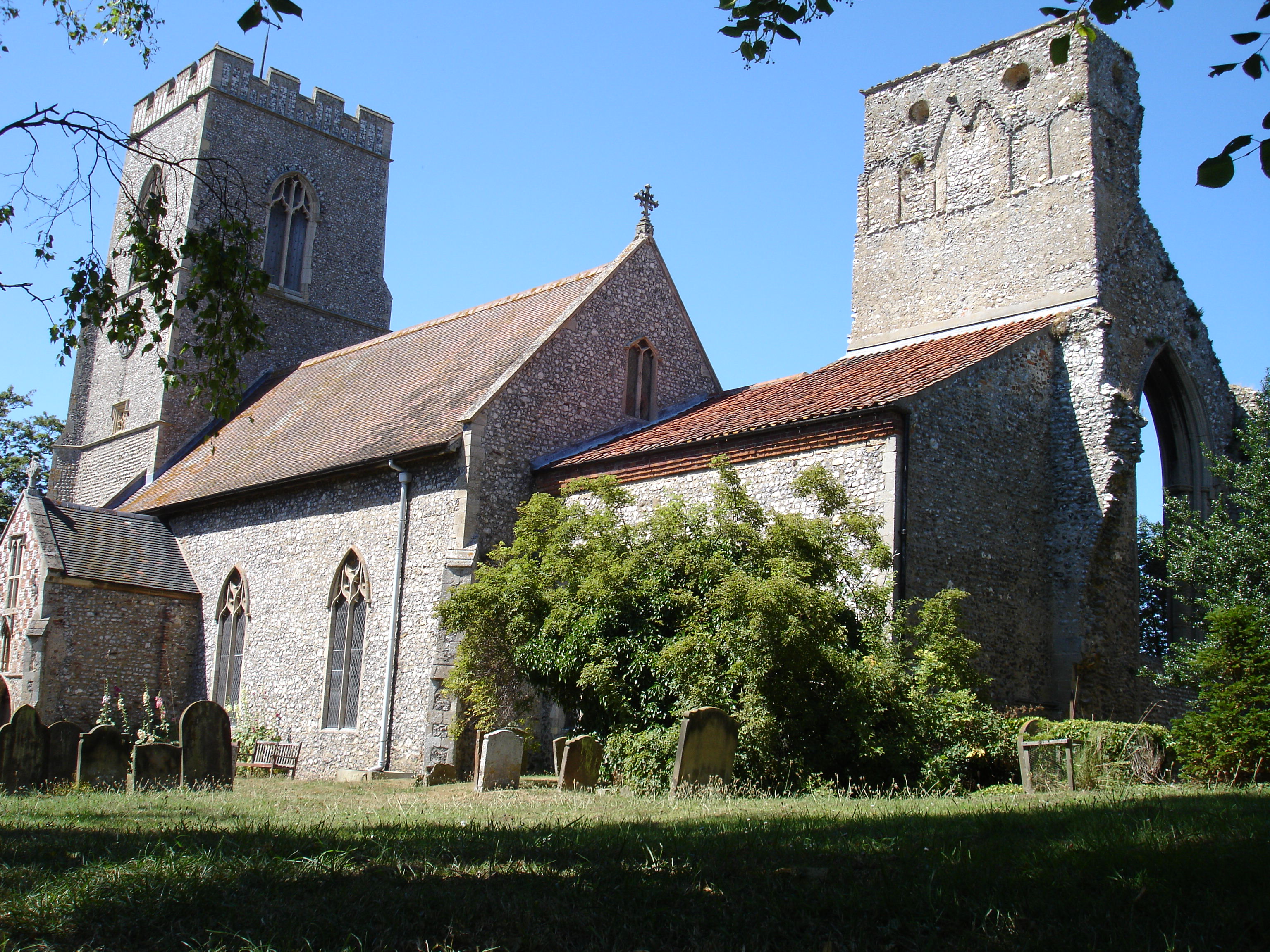
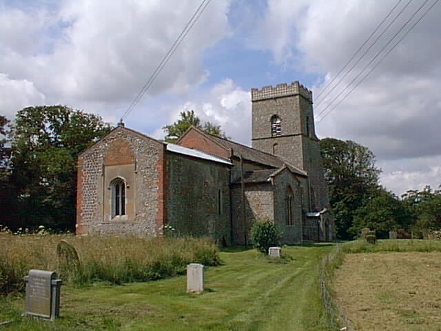
Weybourne Priory
Weybourne Priory was a small Augustinian medieval monastic house in Weybourne, Norfolk, England. It was founded around 1200 AD by Sir Ralph de Meyngaren...
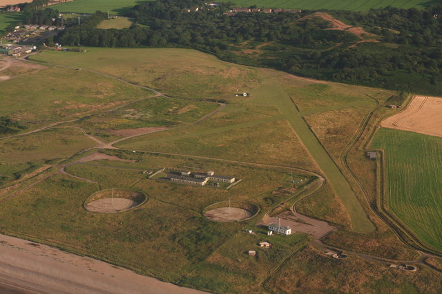
RAF Weybourne
RAF Weybourne was a Second World War anti-aircraft establishment. 'X' Flt, No 1 Anti-Aircraft Co-operation Unit were based at the station between 16 May...

Spring Beck
Spring Beck is a minor watercourse flowing near and through the village of Weybourne in the north of the county of Norfolk. == Course of the beck == This...

Weybourne Windmill
Weybourne Windmill is located on the eastern high ground above the village of Weybourne in the English county of Norfolk. It is on the northern side of...
Kelling
Kelling (also known as Low Kelling and as Lower Kelling) is a village and a civil parish in the English county of Norfolk. The village is 10.1 miles...
Kelling Heath
Kelling Heath is an 89.4-hectare (221-acre) biological Site of Special Scientific Interest between Holt and Weybourne in Norfolk. It is in the Norfolk...
Nearby Amenities
Located within 500m of 52.944127,1.128982Have you been to Roundhills Plantation?
Leave your review of Roundhills Plantation below (or comments, questions and feedback).