Wood's Hill
Hill, Mountain in Suffolk Babergh
England
Wood's Hill
Wood's Hill is a prominent hill located in the county of Suffolk, England. Standing at an elevation of approximately 100 meters (328 feet), it is a notable feature of the local landscape. The hill is situated within the district of Babergh, near the village of Assington.
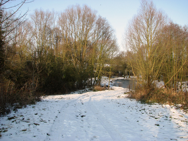
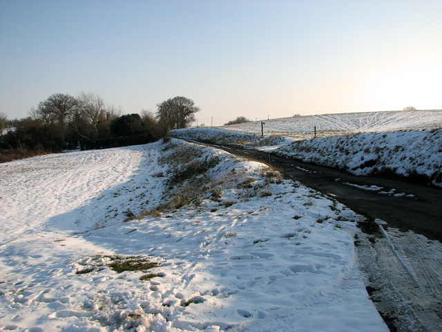
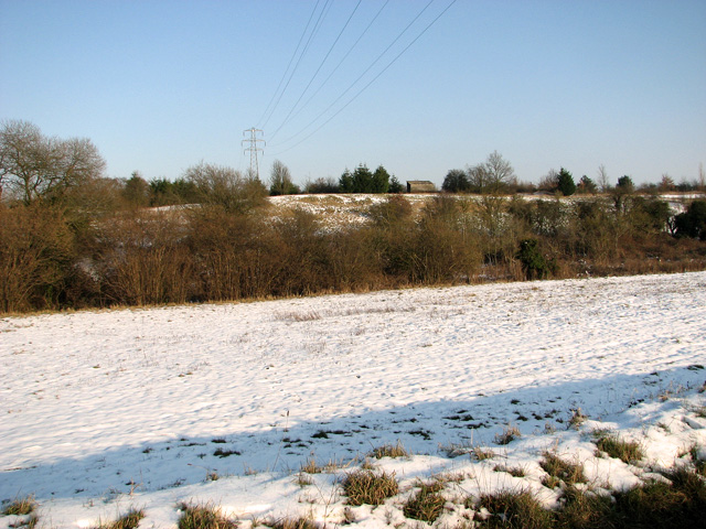
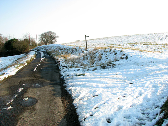
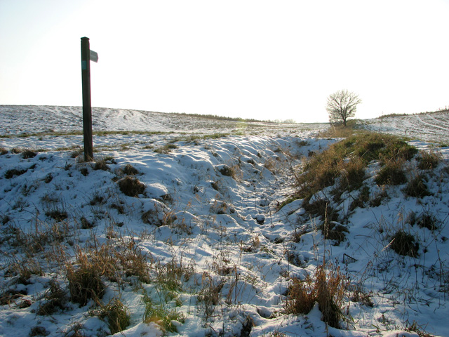
Covered in dense woodland, Wood's Hill offers breathtaking views of the surrounding countryside. The trees on the hillside are predominantly deciduous, with species such as oak, beech, and birch dominating the landscape. This creates a picturesque scene, particularly during the autumn months when the leaves change color, adding vibrant hues to the view.
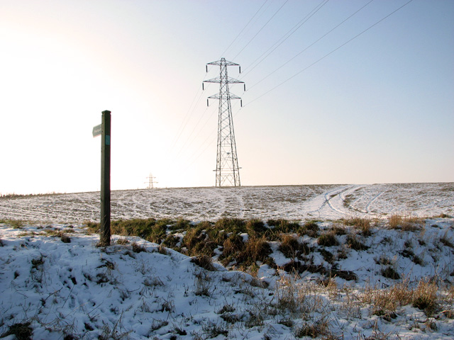
The hill is a popular destination for outdoor enthusiasts, including hikers and nature lovers. Several footpaths and trails traverse the area, allowing visitors to explore the diverse flora and fauna that inhabit the hillside. The surrounding woodlands are home to various wildlife species, including deer, foxes, and a variety of bird species, making it an ideal spot for wildlife enthusiasts and birdwatchers.
Wood's Hill also holds historical significance. It is believed to have been used as a vantage point during ancient times due to its commanding position. Additionally, remnants of ancient settlements and burial mounds have been discovered in the vicinity, further adding to its historical allure.
Overall, Wood's Hill offers a picturesque and tranquil setting, perfect for those seeking to immerse themselves in nature or explore the historical significance of the area. Its natural beauty and diverse wildlife make it a must-visit destination for both locals and tourists alike.
If you have any feedback on the listing, please let us know in the comments section below.
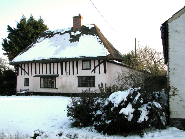
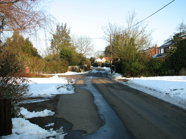
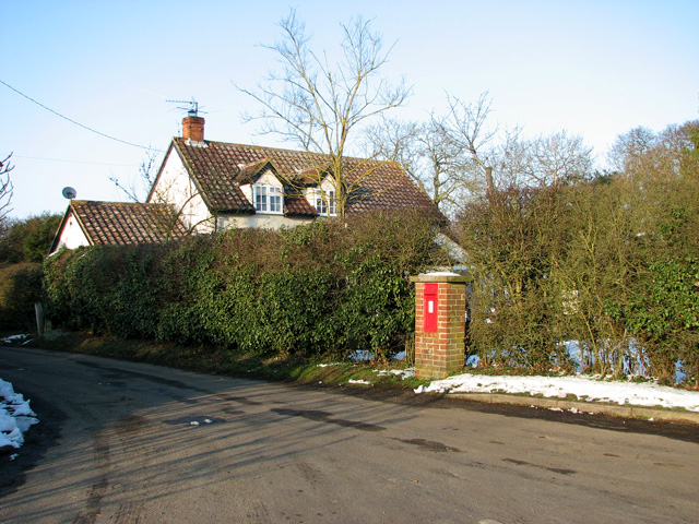
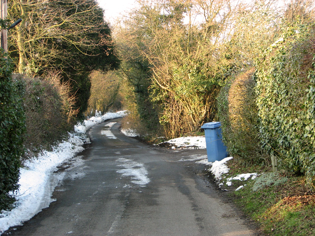
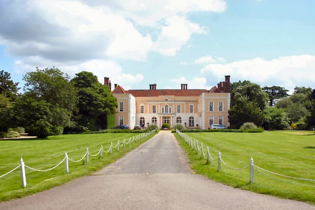
Wood's Hill Images
Images are sourced within 2km of 52.038993/1.0682265 or Grid Reference TM1042. Thanks to Geograph Open Source API. All images are credited.

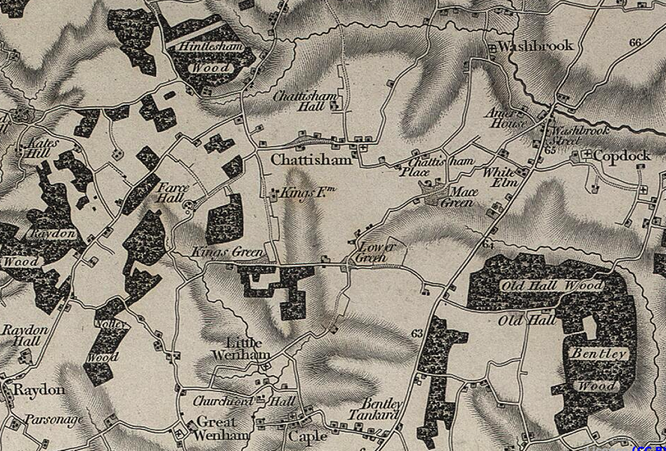
Wood's Hill is located at Grid Ref: TM1042 (Lat: 52.038993, Lng: 1.0682265)
Administrative County: Suffolk
District: Babergh
Police Authority: Suffolk
What 3 Words
///ranged.formation.tagging. Near Capel St Mary, Suffolk
Nearby Locations
Related Wikis
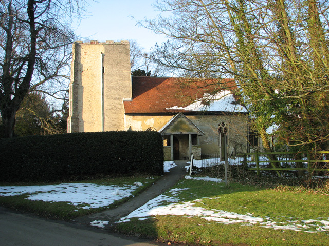
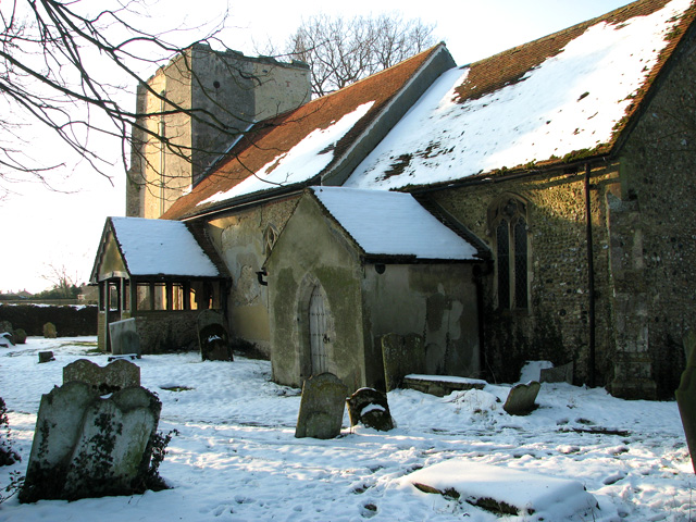
St Mary's Church, Washbrook
St Mary's Church is a redundant Anglican church in the village of Washbrook, Suffolk, England. It is recorded in the National Heritage List for England...
Copdock and Washbrook
Copdock and Washbrook is a civil parish in the Babergh district in the county of Suffolk, England. It covers the villages of Copdock and Washbrook, as...
Washbrook
Washbrook is a village and former civil parish 3 miles (4.8 km) south west of Ipswich, now in the parish of Copdock and Washbrook, in the Babergh district...
Copdock
Copdock is a village and former civil parish, now in the parish of Copdock and Washbrook, in the Babergh district, in the county of Suffolk, England. In...
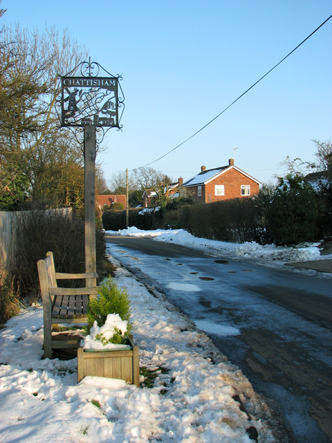
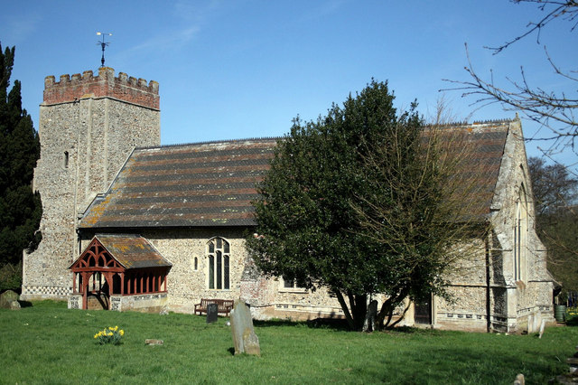
Chattisham
Chattisham is a village and civil parish in Suffolk, England. Located around two miles west of Ipswich and half a mile south of the A1071, it is part of...

Old London Road
Old London Road is a cricket ground in Copdock, Suffolk. The first recorded match on the ground was in 1847, when the Gentlemen of Suffolk played the...
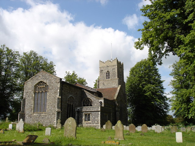
Hintlesham
Hintlesham is a small village in Suffolk, England, situated roughly halfway between Ipswich and Hadleigh. It is in the Belstead Brook electoral division...

Burstall, Suffolk
Burstall is a village and civil parish in Suffolk, England. Located around 4 miles (6 km) west of Ipswich, it is part of Babergh district. The parish includes...
Related Videos
एक उनाड दिवस माझ्या बाळा सोबत 😍#shorts #travel #uk #motherdaughter #viral
ytshorts #indianmominuk #marathimulgiinuk #travel #uk #nature #journey #motherdaughter #family #goviral #beautiful ...

Copdock Interchange in Ipswich Suffolk - Timelapse (8.8x)
Only the people of Ipswich or those travelling through on their way transversing from the A12 to the A14 or vice versa will have ...
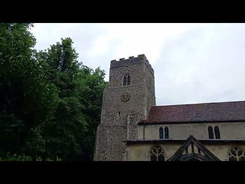
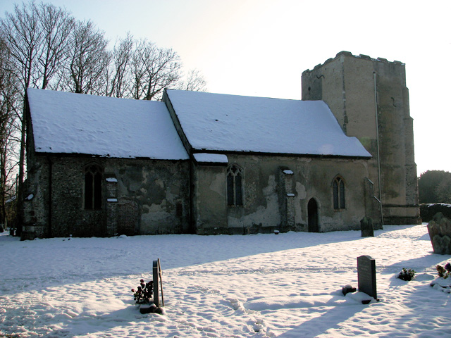
St Nicholas Church, Hintlesham, Suffolk
This church stands back from a very busy road. it has a late perpendicular window with a plain west door. it has a clerestory but ...

First impressions of the Fire-maple X1cooking system. I am NOT sponsored by Firemaple.
Sennechell fishing is all about a few guys enjoying time fishing and chatting (rubbish mainly) and sharing it with others, we don't ...
Nearby Amenities
Located within 500m of 52.038993,1.0682265Have you been to Wood's Hill?
Leave your review of Wood's Hill below (or comments, questions and feedback).