Bont Fawr
Settlement in Carmarthenshire
Wales
Bont Fawr
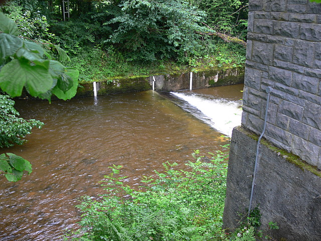
Bont Fawr is a village located in the county of Carmarthenshire, Wales. Situated along the banks of the River Teifi, it is known for its picturesque setting and charming rural character. The name "Bont Fawr" translates from Welsh to English as "big bridge," referring to the historic stone bridge that spans the river and has become an iconic landmark of the village.
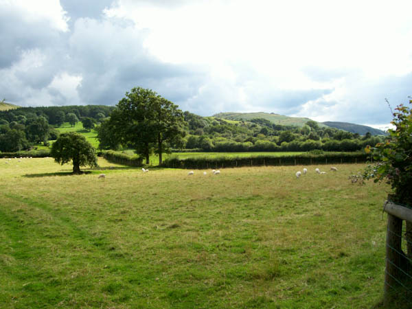
The village is primarily residential, with a small population of around 300 inhabitants. It boasts a close-knit community that takes pride in preserving the area's traditional Welsh heritage and culture. The local economy is mainly agrarian, with farming and agriculture playing a significant role in the village's livelihood.
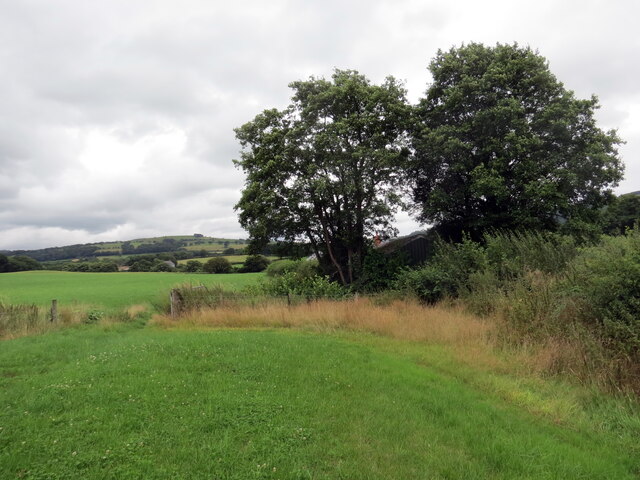
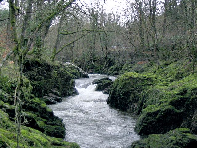
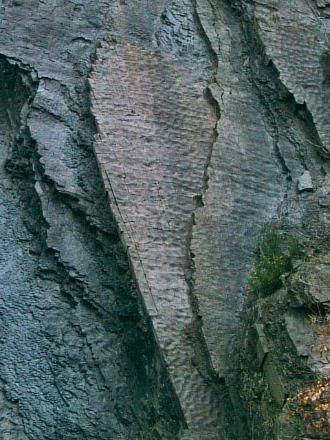
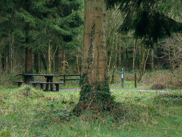
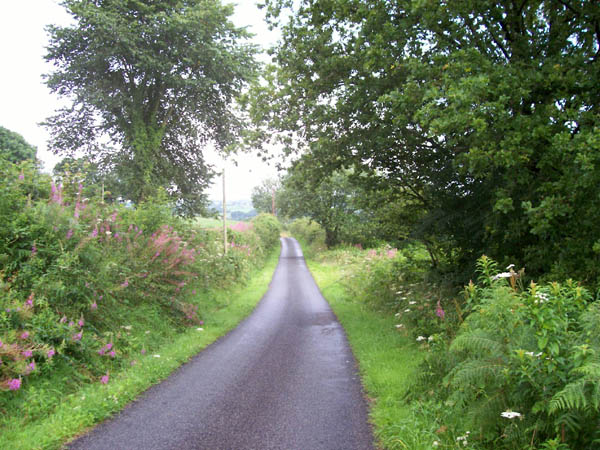
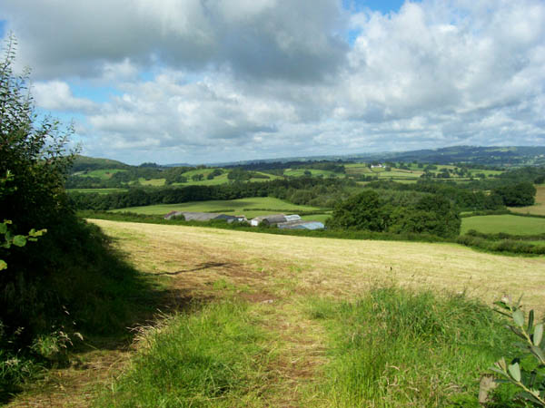
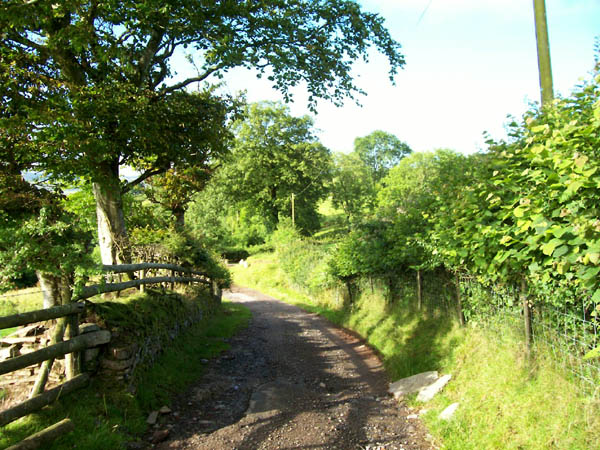
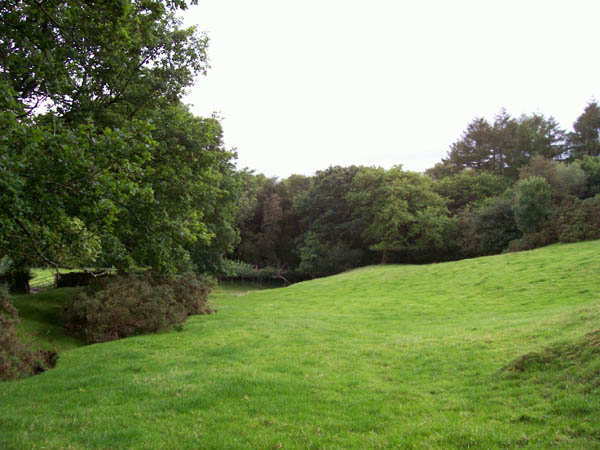
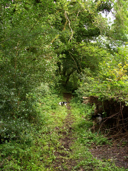
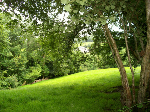
Natural beauty surrounds Bont Fawr, with lush green meadows, rolling hills, and the tranquil River Teifi providing a stunning backdrop. The area is a haven for nature lovers, offering ample opportunities for walking, cycling, and fishing. The nearby Teifi Marshes Nature Reserve is a popular attraction, providing habitat for a wide range of wildlife, including rare bird species.
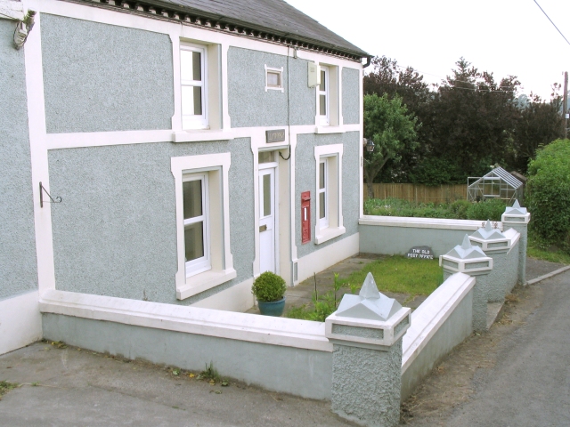
The village features a few amenities to cater to its residents' needs, including a local pub and a community hall, which serves as a hub for various social events and gatherings. Bont Fawr also has a primary school, ensuring that the educational needs of the community are met.
Overall, Bont Fawr offers a peaceful and idyllic setting, perfect for those seeking a rural lifestyle amidst stunning natural surroundings.
If you have any feedback on the listing, please let us know in the comments section below.
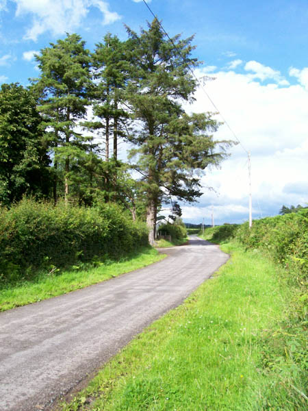
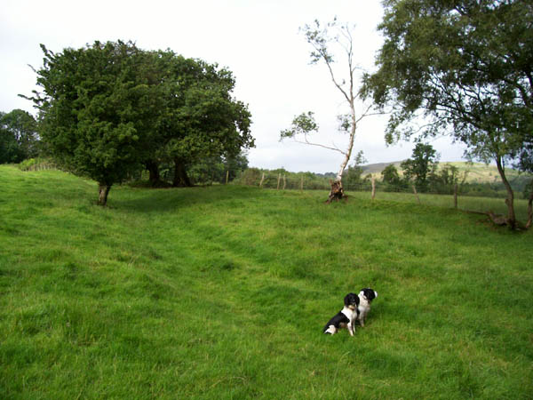
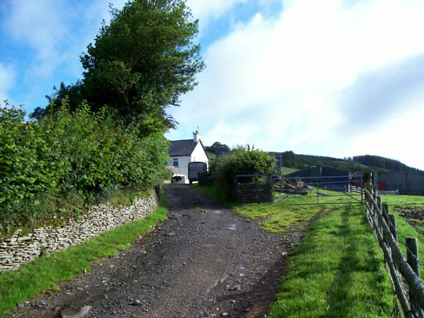
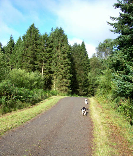
Bont Fawr Images
Images are sourced within 2km of 51.908553/-3.8766951 or Grid Reference SN7125. Thanks to Geograph Open Source API. All images are credited.
Bont Fawr is located at Grid Ref: SN7125 (Lat: 51.908553, Lng: -3.8766951)
Unitary Authority: Carmarthenshire
Police Authority: Dyfed Powys
What 3 Words
///showrooms.erase.panics. Near Llansadwrn, Carmarthenshire
Nearby Locations
Related Wikis

Bont Fawr
Bont Fawr is a tiny hamlet in Carmarthenshire, Wales.

Y Garn Goch
Y Garn Goch is a hill in the Brecon Beacons National Park in the east of Carmarthenshire, Wales. The name means the 'red cairn'. It lies near the village...
Bethlehem, Carmarthenshire
Bethlehem is a tiny farming village in the county of Carmarthenshire, Wales, lying in the Tywi Valley northeast of Llandeilo and southwest of Llangadog...

Trichrug
Trichrug (also referred to as Pen-y-bicws) is a hill four miles east of Llandeilo and 3 miles south of Llangadog in the county of Carmarthenshire, southwest...
Glanrhyd Bridge collapse
On 19 October 1987, a train on the Heart of Wales line derailed and fell into the River Towy due to the partial collapse of the Glanrhyd Bridge near Llandeilo...

A4069 road
The A4069 is an A road which connects Llandovery with Gwaun-Cae-Gurwen in Wales, UK. == Route == The route begins at the junction with the A474 at the...

Glanrhyd Halt railway station
Glanrhyd railway station served the town of Llandeilo, Carmarthenshire, Wales, from 1858 to 1955 on the Vale of Towy Railway. == History == The station...

River Sawdde
The Afon Sawdde is a river in the county of Carmarthenshire, Wales. For most of its course it flows through the Brecon Beacons National Park and Fforest...
Nearby Amenities
Located within 500m of 51.908553,-3.8766951Have you been to Bont Fawr?
Leave your review of Bont Fawr below (or comments, questions and feedback).