Bont-Dolgadfan

Settlement in Montgomeryshire

Wales

Bont-Dolgadfan

Cwm Nant Heli Viewed from Bwlch Glynmynydd.
Cwm Nant Heli Credit: John Lucas

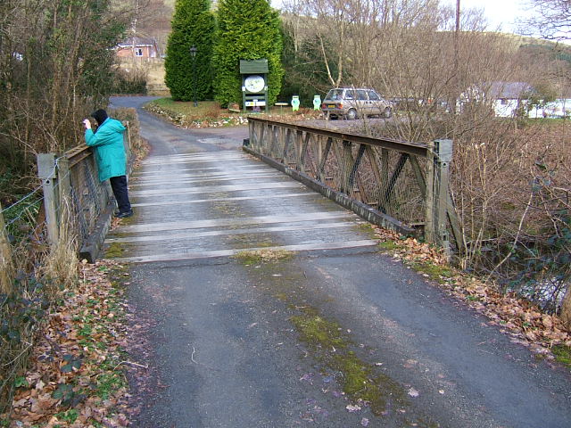
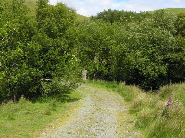
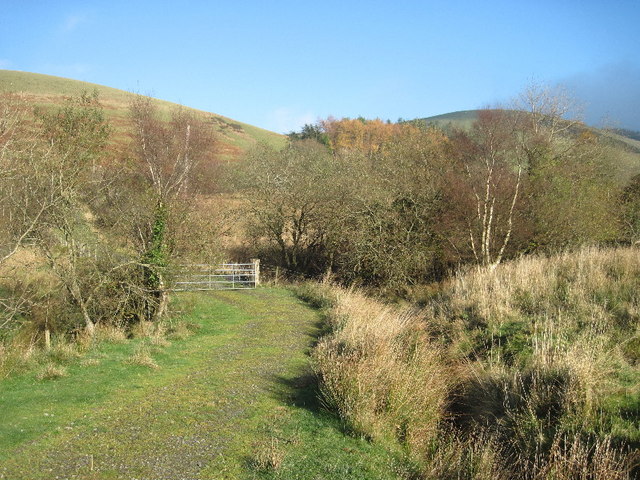
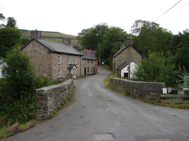
Bont-Dolgadfan is a small village located in Montgomeryshire, Wales. It is situated near the River Banwy and lies within the beautiful Welsh countryside. The village is known for its picturesque surroundings, with rolling hills and lush green fields.

Bont-Dolgadfan is a quiet and peaceful place, perfect for those looking to escape the hustle and bustle of city life. The village is home to a close-knit community, with a strong sense of community spirit.

In terms of amenities, Bont-Dolgadfan has a few local shops and pubs, providing residents with the essentials they need. The village also has a primary school, making it an ideal location for families with young children.

Overall, Bont-Dolgadfan offers a tranquil and idyllic setting for those seeking a rural retreat. Its charming countryside views and friendly community make it a popular choice for those looking to enjoy a slower pace of life in the heart of Wales.

If you have any feedback on the listing, please let us know in the comments section below.

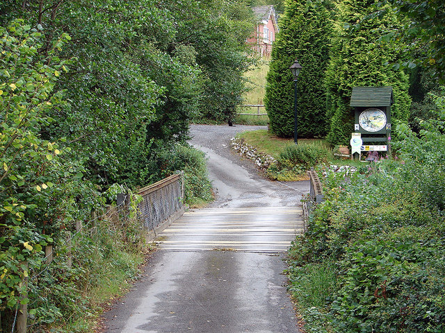
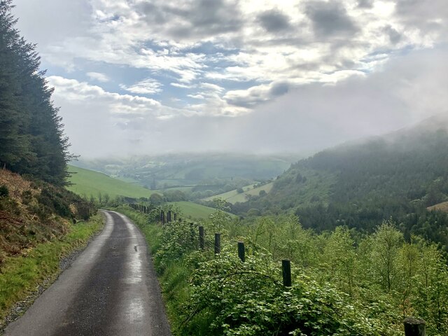
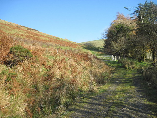
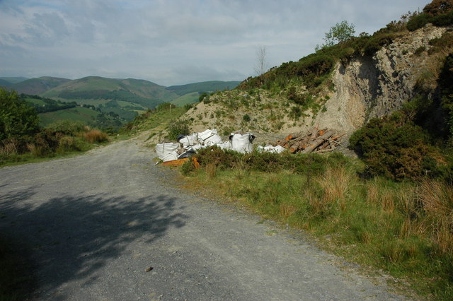
Bont-Dolgadfan Images

Images are sourced within 2km of 52.587657/-3.647294 or Grid Reference SH8800. Thanks to Geograph Open Source API. All images are credited.
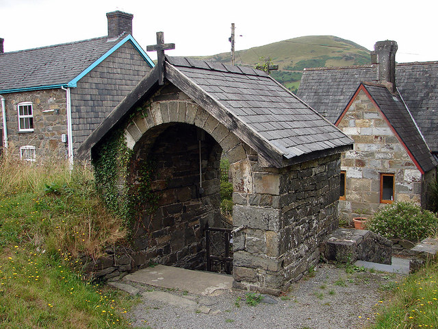
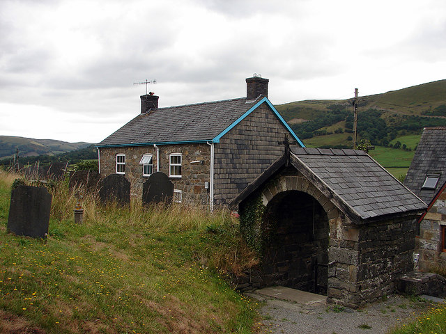
Cwm Nant Heli Viewed from Bwlch Glynmynydd.
Cwm Nant Heli
Viewed from Bwlch Glynmynydd.
Bailey bridge across the Afon Twymyn Entrance to the Cringoed Holiday Park from B4518
Bailey bridge across the Afon Twymyn
Entrance to the Cringoed Holiday Park from B4518
Village church lychgate At Llan St Mary's Church.
Village church lychgate
At Llan St Mary's Church.
St Mary's Church, Llan A church is thought to have been established here in the 6th Century and dedicated to St Mary in the 12th Century. The current building dates from the 15th Century.
St Mary's Church, Llan
A church is thought to have been established here in the 6th Century and dedicated to St Mary in the 12th Century. The current building dates from the 15th Century.
The graveyard of St Mary's, Llan With Craig yr Pit [hill] in the distance.
The graveyard of St Mary's, Llan
With Craig yr Pit [hill] in the distance.
Graveyard and lychgate, St Mary's, Llan
Entering Bont y Green between Llan and Llanbrynmair Access to Cringoed Holiday Park (tents and caravans) is on the right.
Entering Bont y Green between Llan and Llanbrynmair
Access to Cringoed Holiday Park (tents and caravans) is on the right.
Nant Heli Early morning mist rising on the way down to Bont Dolgadfan.
Nant Heli
Early morning mist rising on the way down to Bont Dolgadfan.
B4518 south of Llanbrynmair
B4518 near Pennant
B4518 near Pennant
Junction in the track The left fork leads to Cerrig Caerau stone circle, the right fork to an old cottage in the plantation.
Junction in the track
The left fork leads to Cerrig Caerau stone circle, the right fork to an old cottage in the plantation.
Track junction A meeting of tracks on the edge of open access land above Bont Dolgadfan.
Track junction
A meeting of tracks on the edge of open access land above Bont Dolgadfan.
Footpath to Newydd Fynyddog Also an agricultural access to fields.
Footpath to Newydd Fynyddog
Also an agricultural access to fields.
Fields north of Brynbach farm Rough grazing in the foreground, with better grazing around the farm, which can be seen on the slopes ahead.
Fields north of Brynbach farm
Rough grazing in the foreground, with better grazing around the farm, which can be seen on the slopes ahead.
The road from Talerddig Just past its highest point.
The road from Talerddig
Just past its highest point.
Track - ancient and modern The track leads to a couple of disused quarries and a small plantation, all from relatively modern times. However, it then leads directly to Cerrig Caerau stone circle on the hill in the background in an area of ancient settlements, so it has probably been used for several millennia.
Track - ancient and modern
The track leads to a couple of disused quarries and a small plantation, all from relatively modern times. However, it then leads directly to Cerrig Caerau stone circle on the hill in the background in an area of ancient settlements, so it has probably been used for several millennia.
Hawthorn near Brynbach Farm Blossom on a hawthorn near Brynbach Farm.
Hawthorn near Brynbach Farm
Blossom on a hawthorn near Brynbach Farm.
Hawthorn blossom
Hawthorn blossom
Show me another place!

Bont-Dolgadfan is located at Grid Ref: SH8800 (Lat: 52.587657, Lng: -3.647294)

Unitary Authority: Powys

Police Authority: Dyfed Powys

Also known as: Bontdolgadfan, Bont Dolgadfan

What 3 Words

///impresses.hill.piper. Near Staylittle, Powys

Related Wikis

Bont Dolgadfan

Bont Dolgadfan is a small village off the B4518 road in Powys, Wales. It is part of the community of Llanbrynmair and forms a community ward for elections...
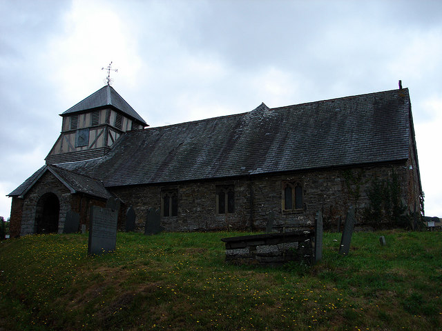
Llan, Powys

Llan is a village in Powys, Wales, located on the B4518 road to Llanidloes, 1.5 miles (2.4 km) from Llanbrynmair. The parish church of St Mary is located...

Domen Fawr, Tafolwern

Domen Fawr, or Tafolwern Castle was a motte-and-bailey castle of the Middle Ages. It is situated in Tafolwern, near Llanbrynmair in Powys. It is registered...

Pennant, Powys

Pennant is a small village in Powys, mid Wales located on the B4518 road between Llanbrynmair and Llanidloes.

Nearby Amenities

Located within 500m of 52.587657,-3.647294
Post Box
Post Box Type: lamp
Ref: SY19 518
Royal Cypher: EIIR
Royal Cypher Wikidata: Q33102113
Lat/Long: 52.5882668/-3.6450389
Barrier: stile
Lat/Long: 52.5896244/-3.6471004
Barrier: stile
Lat/Long: 52.5895892/-3.6470509
Bont-dolgadfan
Place: village
Source: OS-OpenData_StreetView_2016_04
Lat/Long: 52.5882892/-3.6447331
The data included in this document is from www.openstreetmap.org. The data is made available under ODbL.

Have you been to Bont-Dolgadfan?

Leave your review of Bont-Dolgadfan below (or comments, questions and feedback).