Bont Dolgadfan
Settlement in Montgomeryshire
Wales
Bont Dolgadfan

The requested URL returned error: 429 Too Many Requests
If you have any feedback on the listing, please let us know in the comments section below.
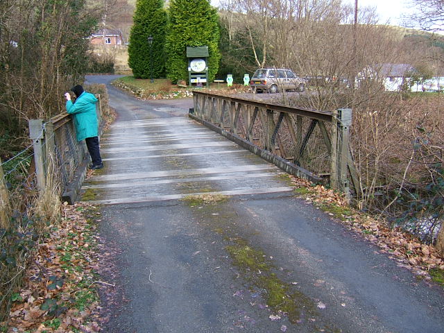
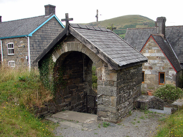
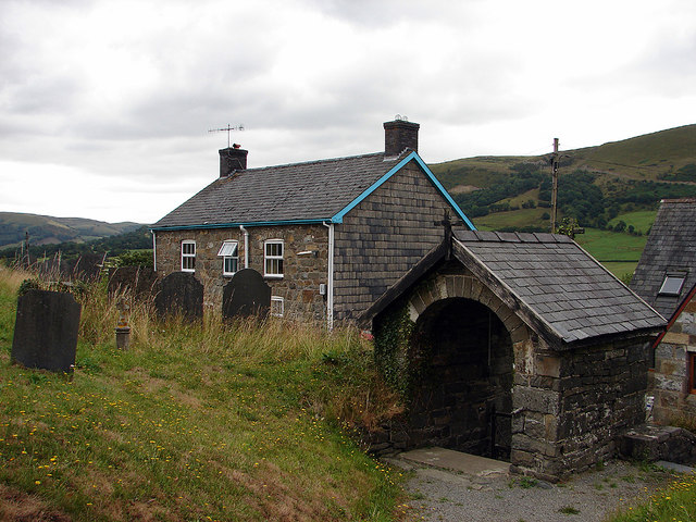
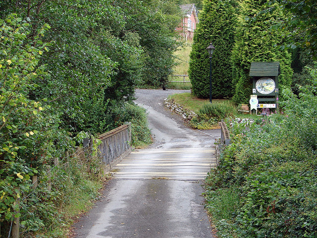
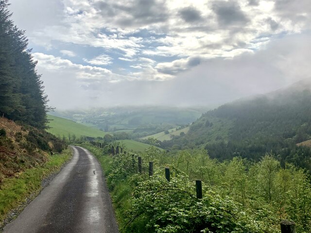
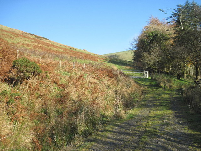
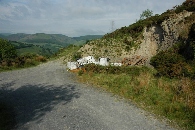
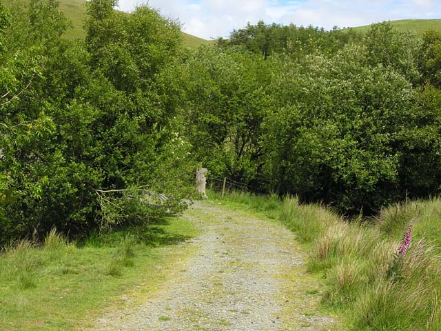
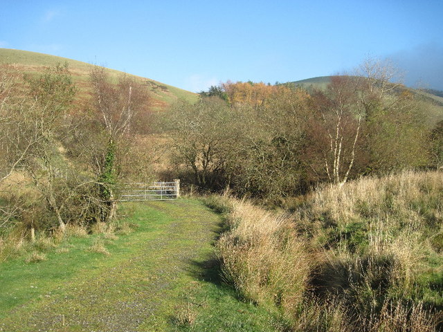
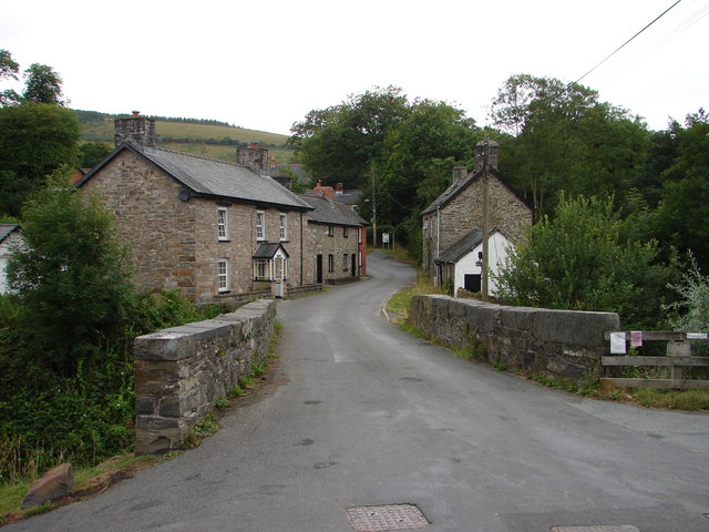
Bont Dolgadfan Images
Images are sourced within 2km of 52.587657/-3.647294 or Grid Reference SH8800. Thanks to Geograph Open Source API. All images are credited.
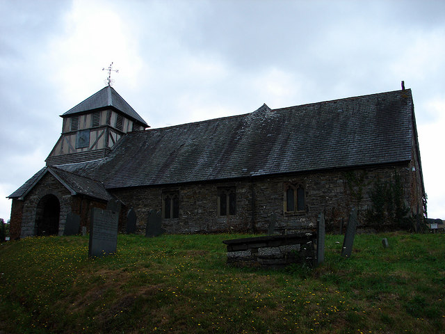
![The graveyard of St Mary's, Llan With Craig yr Pit [hill] in the distance.](https://s1.geograph.org.uk/geophotos/06/59/19/6591937_1089cc3d.jpg)


Bont Dolgadfan is located at Grid Ref: SH8800 (Lat: 52.587657, Lng: -3.647294)
Unitary Authority: Powys
Police Authority: Dyfed Powys
Also known as: Bontdolgadfan, Bont-Dolgadfan
What 3 Words
///impresses.hill.piper. Near Staylittle, Powys
Nearby Locations
Related Wikis
Bont Dolgadfan
Bont Dolgadfan is a small village off the B4518 road in Powys, Wales. It is part of the community of Llanbrynmair and forms a community ward for elections...

Llan, Powys
Llan is a village in Powys, Wales, located on the B4518 road to Llanidloes, 1.5 miles (2.4 km) from Llanbrynmair. The parish church of St Mary is located...

Domen Fawr, Tafolwern
Domen Fawr, or Tafolwern Castle was a motte-and-bailey castle of the Middle Ages. It is situated in Tafolwern, near Llanbrynmair in Powys. It is registered...

Pennant, Powys
Pennant is a small village in Powys, mid Wales located on the B4518 road between Llanbrynmair and Llanidloes.
Nearby Amenities
Located within 500m of 52.587657,-3.647294Have you been to Bont Dolgadfan?
Leave your review of Bont Dolgadfan below (or comments, questions and feedback).