Bont
Settlement in Monmouthshire
Wales
Bont

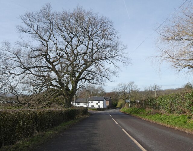
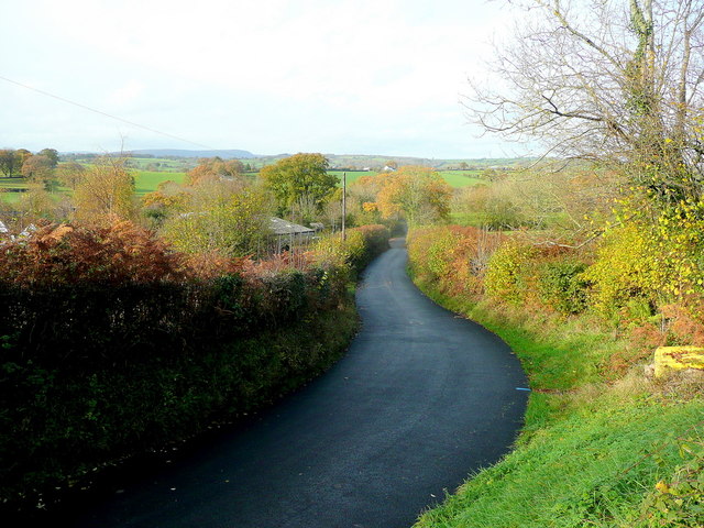
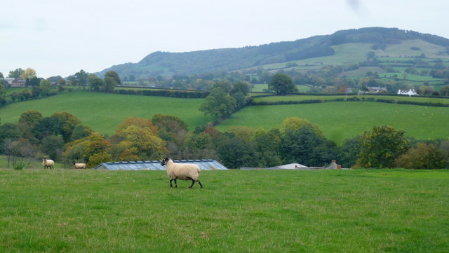
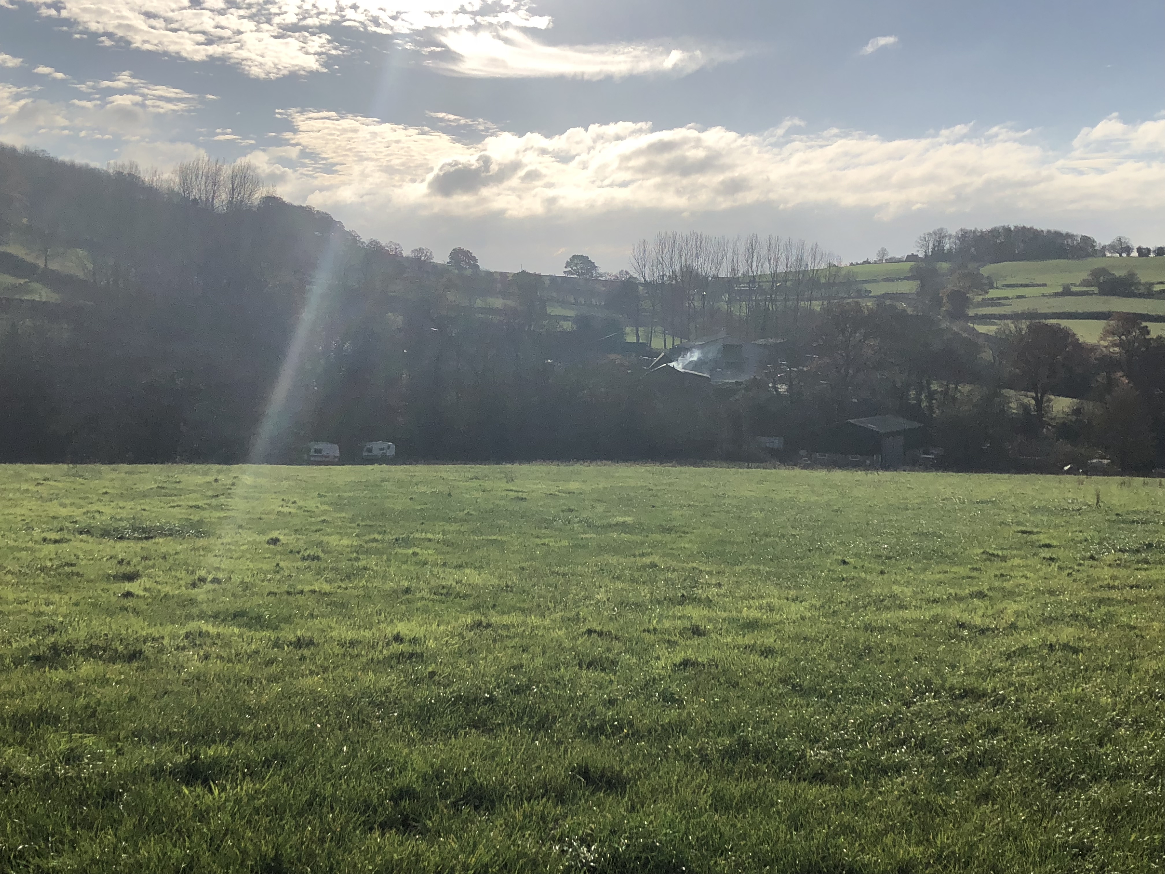
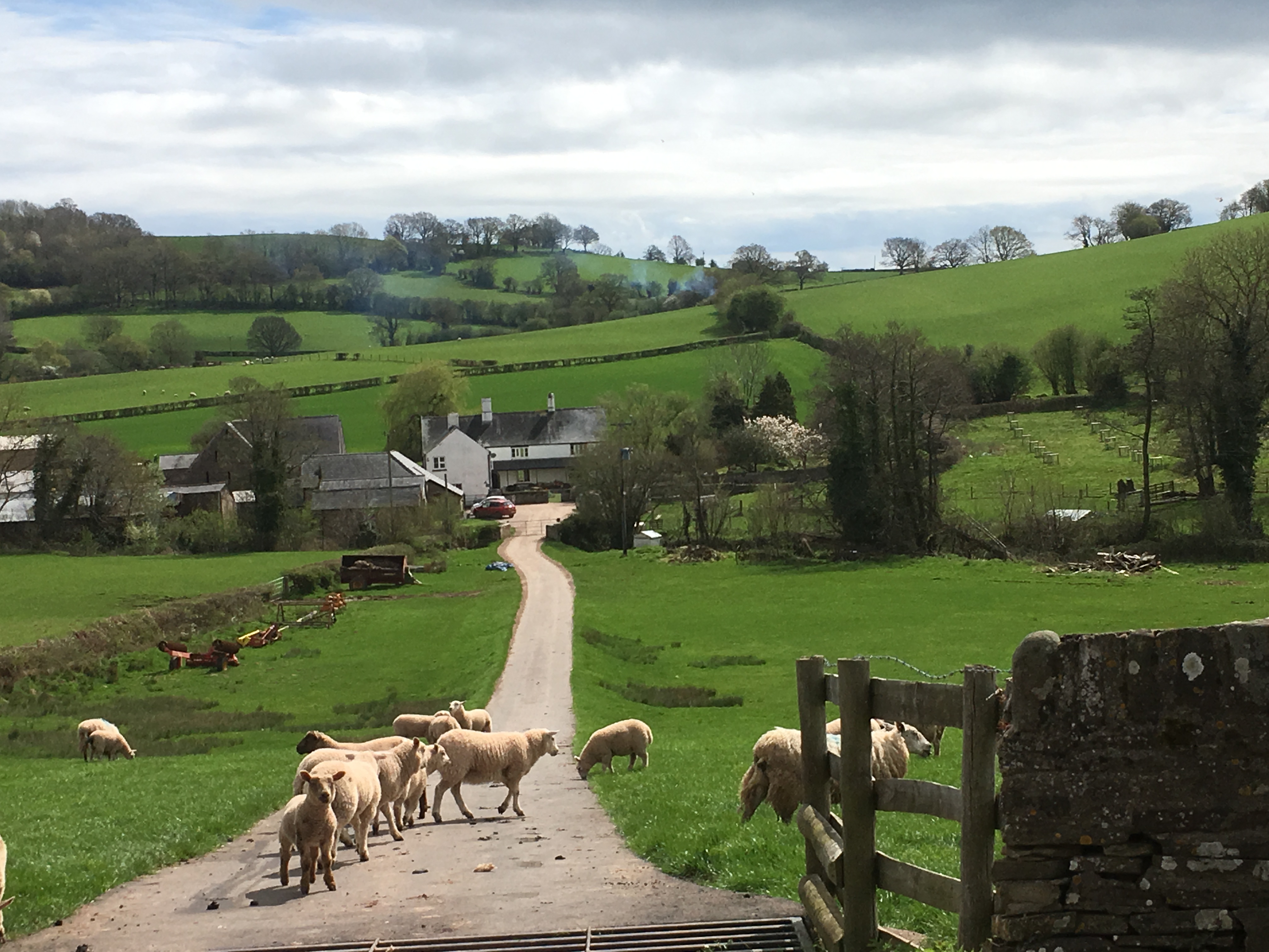
Bont is a small village located in Monmouthshire, Wales. Situated on the banks of the river Usk, it is surrounded by picturesque countryside and offers a peaceful and tranquil setting for its residents. The village is in close proximity to the larger towns of Abergavenny and Crickhowell, providing easy access to amenities and services.
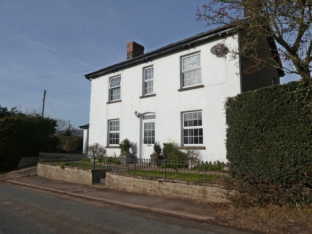
Bont is known for its rich history, dating back to medieval times. The village is home to a number of historic buildings, including a 12th-century church, St. David's, which is a prominent feature of the community. The church is a testament to the village's strong ties to its past.
Despite its small size, Bont has a close-knit community that takes pride in maintaining the village's charm and character. There are several local organizations and community groups that organize events and activities throughout the year, fostering a strong sense of community spirit.
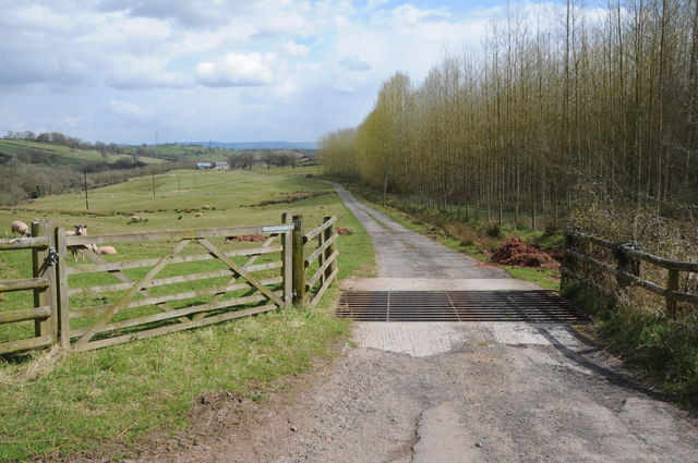
The natural beauty of the surrounding area offers ample opportunities for outdoor enthusiasts. The village is located near the Brecon Beacons National Park, providing access to stunning landscapes and a variety of outdoor activities such as hiking, cycling, and horseback riding.
Bont may be a quiet and rural village, but it offers a peaceful and idyllic lifestyle for its residents. With its historical significance, strong community ties, and proximity to beautiful natural landscapes, Bont is a charming place to call home.
If you have any feedback on the listing, please let us know in the comments section below.
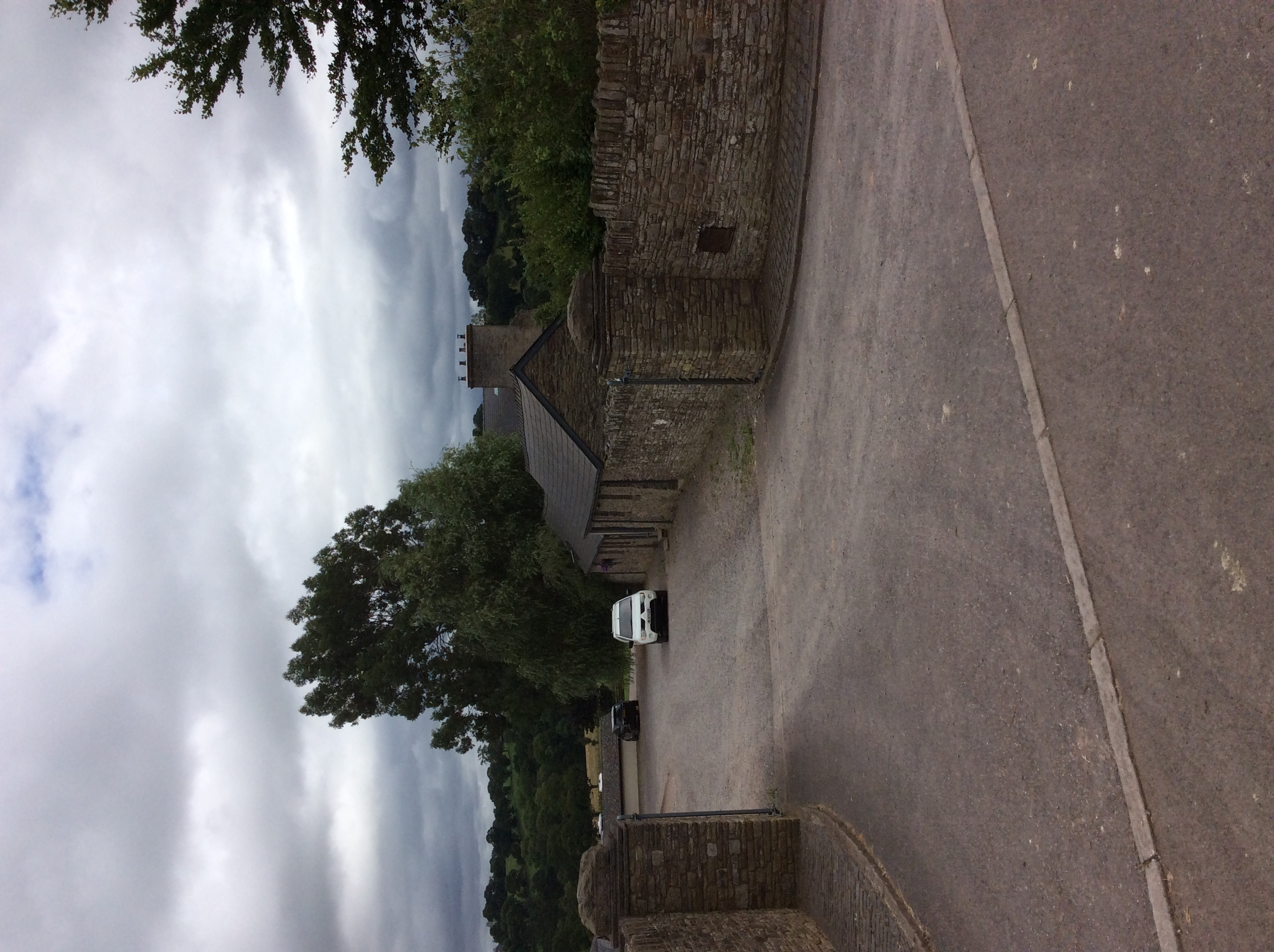
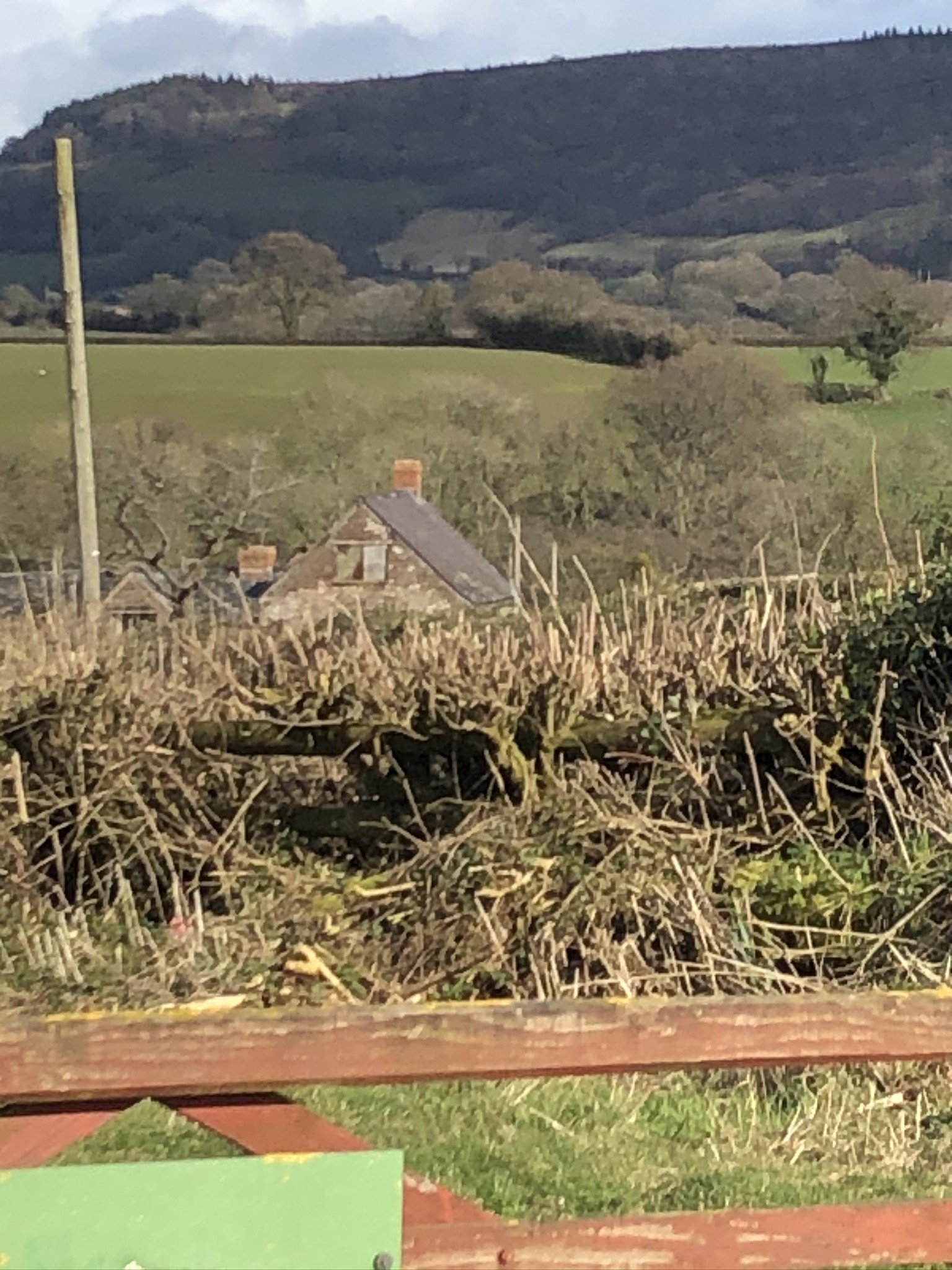
Bont Images
Images are sourced within 2km of 51.871965/-2.896169 or Grid Reference SO3819. Thanks to Geograph Open Source API. All images are credited.


Bont is located at Grid Ref: SO3819 (Lat: 51.871965, Lng: -2.896169)
Unitary Authority: Monmouthshire
Police Authority: Gwent
What 3 Words
///cloud.piano.hammocks. Near Grosmont, Monmouthshire
Nearby Locations
Related Wikis
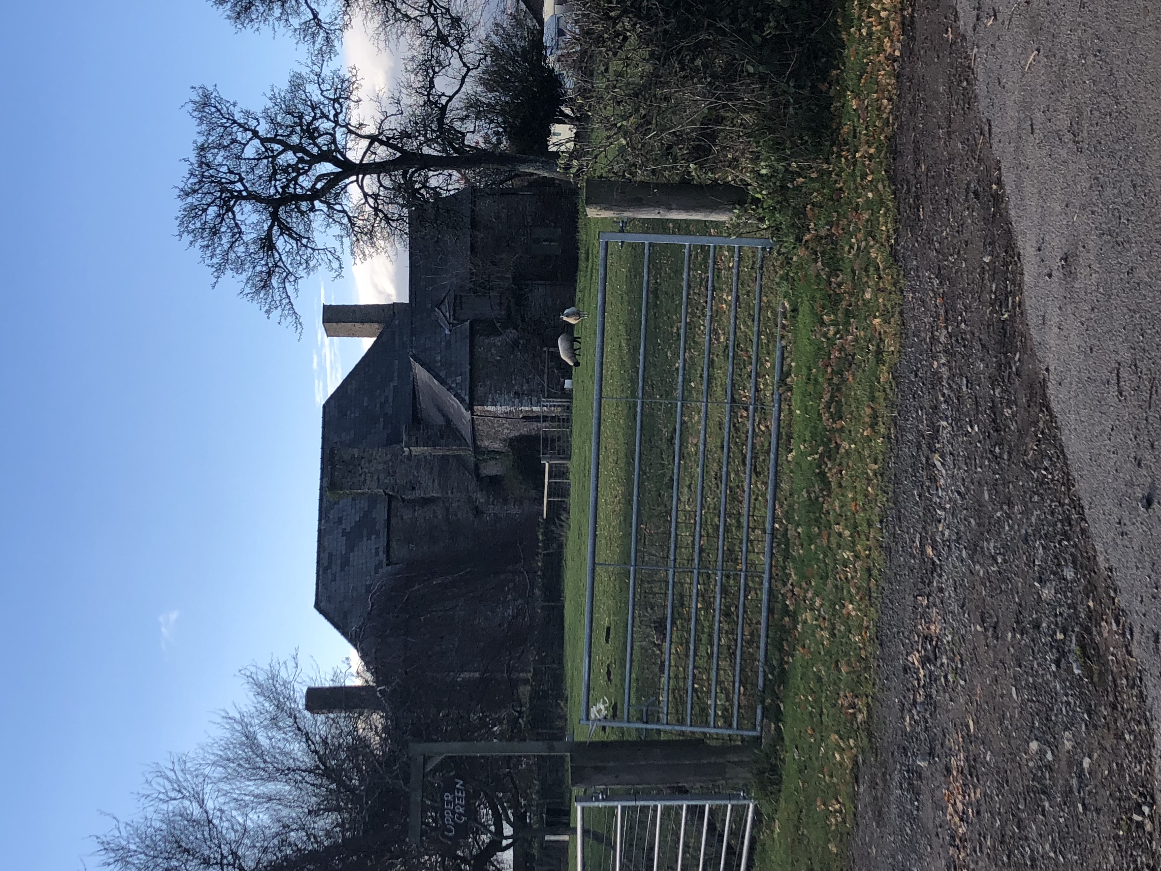
Upper Green, Llantilio Crossenny
Upper Green, Llantilio Crossenny, Monmouthshire is a farmhouse dating from the Medieval period. The original hall house was enlarged in the 17th century...

Three Castles Walk, Monmouthshire
The Three Castles Walk is a waymarked long distance footpath and recreational walk located in north-east Monmouthshire, Wales. == Distance == The Three...
Great Pool Hall, Llanvetherine
Great Pool Hall, Llanvetherine, Monmouthshire is a mansion dating from the early 17th century. Its construction is unusual in that it is built around a...
Lower Celliau, Llangattock Lingoed
Lower Celliau, (aka Lower Kathlea/Lower Celli), Llangattock Lingoed, Monmouthshire is a farmhouse dating from the 16th century. It is a Grade II* listed...
Croft Farm Barn, Llantilio Crossenny
The Barn at Croft Farm, Llantilio Crossenny, Monmouthshire is a remarkably rare example of a 16th-century barn. Originally built as part of the Great Tre...
Barn, Stable and Cider House, Great Tre-Rhew Farm, Llantilio Crossenny
The Corn Barn, Stable and Cider House at Great Tre-Rhew Farm, Llantilio Crossenny, Monmouthshire form part of "one of the most completely surviving farmsteads...

St Cadoc's Church, Llangattock Lingoed
The Church of St Cadoc, is the parish church of Llangattock Lingoed, Monmouthshire, Wales and sits in the centre of the village. It is in the Perpendicular...

Old Court, Llangattock Lingoed
The Old Court, Llangattock Lingoed, Monmouthshire is a medieval hall house dating from the late 15th century, with additions from the 17th and 19th centuries...
Nearby Amenities
Located within 500m of 51.871965,-2.896169Have you been to Bont?
Leave your review of Bont below (or comments, questions and feedback).