Allt Cwm-y-gwengad
Wood, Forest in Carmarthenshire
Wales
Allt Cwm-y-gwengad
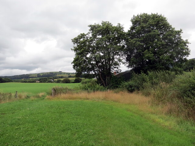
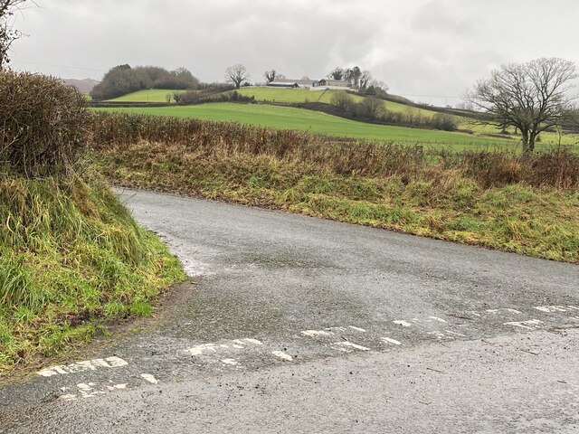
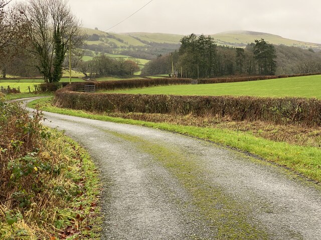
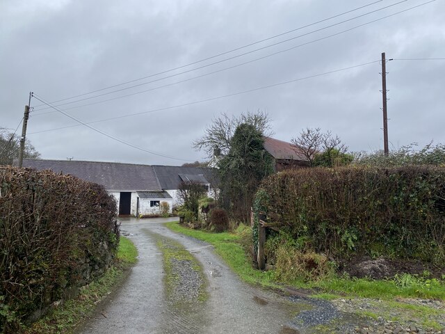
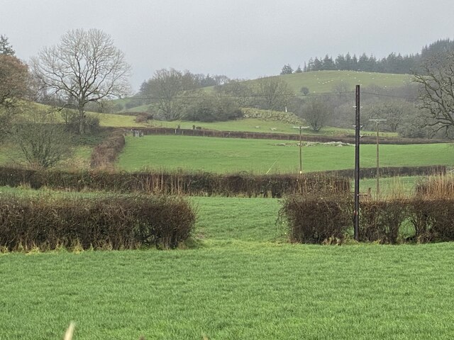
Allt Cwm-y-gwengad is a picturesque woodland located in the county of Carmarthenshire, Wales. Covering an area of approximately 200 acres, this enchanting forest is nestled within the stunning landscape of the Brecon Beacons National Park.
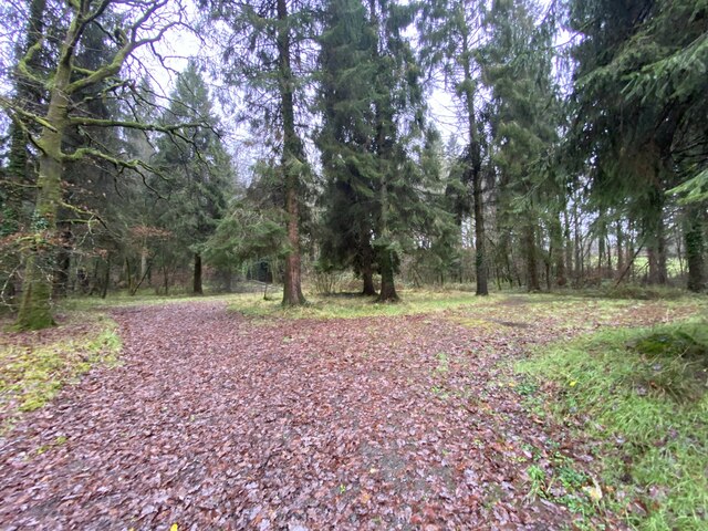
The woodland is predominantly made up of a diverse range of tree species, including oak, beech, ash, and birch. The dense canopy created by these trees provides a habitat for a variety of wildlife, such as birds, mammals, and insects. The forest floor is adorned with an array of wildflowers and ferns, adding to its natural beauty.
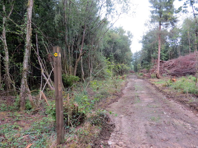
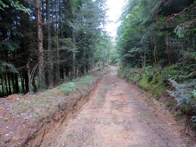
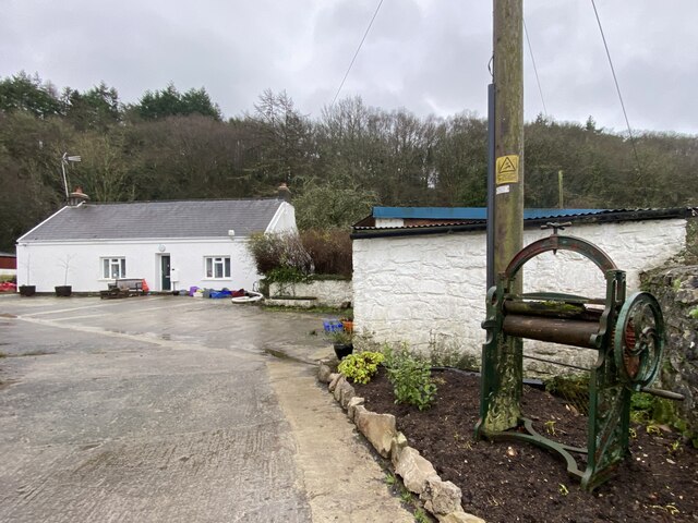
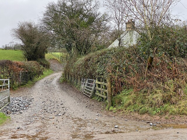
Allt Cwm-y-gwengad offers visitors a peaceful and tranquil atmosphere, making it a popular destination for nature lovers and outdoor enthusiasts. It is a haven for walking, hiking, and birdwatching, with several well-maintained trails crisscrossing through the woodland. These trails offer stunning views of the surrounding countryside and provide an opportunity to immerse oneself in the sights and sounds of nature.
The woodland is also of historical significance, with remnants of ancient settlements and burial sites scattered throughout. These archaeological features provide an insight into the rich cultural heritage of the area.
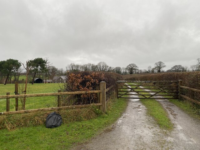
Allt Cwm-y-gwengad is easily accessible, located just a short drive from the town of Llandovery. It is a perfect escape from the hustle and bustle of modern life, offering visitors a chance to reconnect with nature and enjoy the serenity of the Welsh countryside.
If you have any feedback on the listing, please let us know in the comments section below.
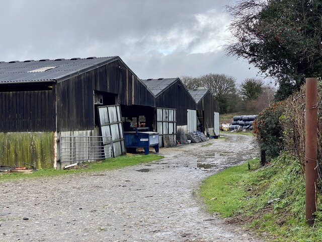
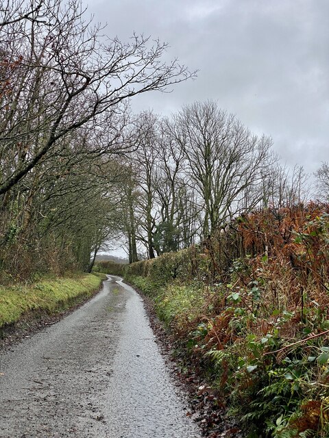
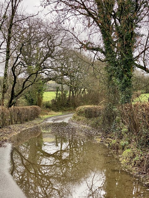
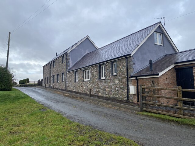
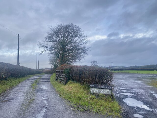
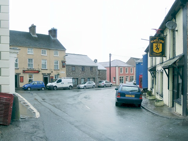
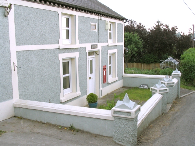
Allt Cwm-y-gwengad Images
Images are sourced within 2km of 51.917147/-3.8655805 or Grid Reference SN7125. Thanks to Geograph Open Source API. All images are credited.

Allt Cwm-y-gwengad is located at Grid Ref: SN7125 (Lat: 51.917147, Lng: -3.8655805)
Unitary Authority: Carmarthenshire
Police Authority: Dyfed Powys
What 3 Words
///songbird.steam.shelters. Near Llansadwrn, Carmarthenshire
Nearby Locations
Related Wikis

Bont Fawr
Bont Fawr is a tiny hamlet in Carmarthenshire, Wales.
Llangadog
Llangadog () is a village and community in Carmarthenshire, Wales, which also includes the villages of Bethlehem and Capel Gwynfe. A notable local landscape...

River Sawdde
The Afon Sawdde is a river in the county of Carmarthenshire, Wales. For most of its course it flows through the Brecon Beacons National Park and Fforest...

A4069 road
The A4069 is an A road which connects Llandovery with Gwaun-Cae-Gurwen in Wales, UK. == Route == The route begins at the junction with the A474 at the...

Llangadog railway station
Llangadog railway station serves the village of Llangadog near Llandeilo, Carmarthenshire. The station is on the Heart of Wales Line 36+1⁄2 miles (59 km...
Glanrhyd Bridge collapse
On 19 October 1987, a train on the Heart of Wales line derailed and fell into the River Towy due to the partial collapse of the Glanrhyd Bridge near Llandeilo...

Y Garn Goch
Y Garn Goch is a hill in the Brecon Beacons National Park in the east of Carmarthenshire, Wales. The name means the 'red cairn'. It lies near the village...
Bethlehem, Carmarthenshire
Bethlehem is a tiny farming village in the county of Carmarthenshire, Wales, lying in the Tywi Valley northeast of Llandeilo and southwest of Llangadog...
Nearby Amenities
Located within 500m of 51.917147,-3.8655805Have you been to Allt Cwm-y-gwengad?
Leave your review of Allt Cwm-y-gwengad below (or comments, questions and feedback).