Bonnyrigg
Settlement in Midlothian
Scotland
Bonnyrigg
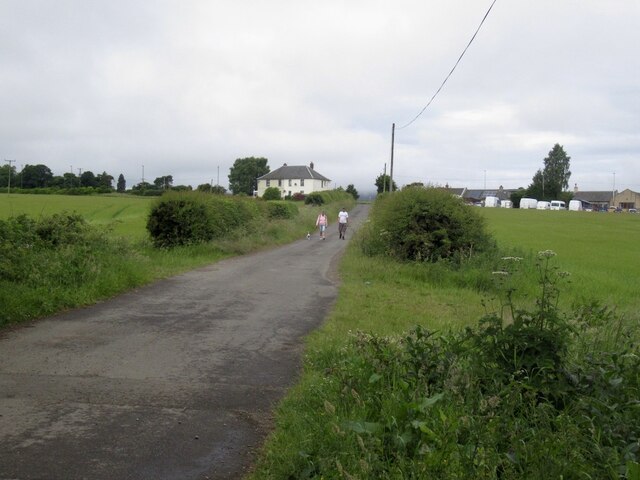
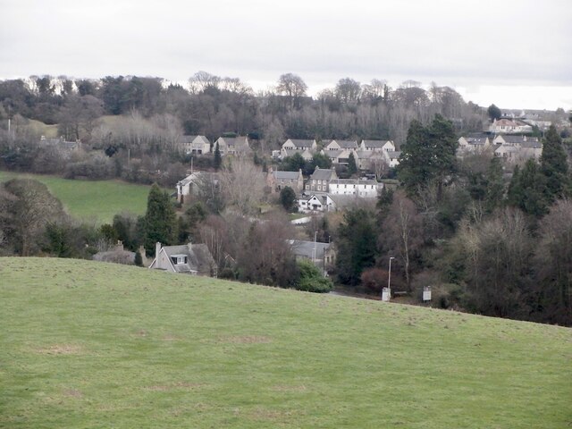
Bonnyrigg is a picturesque town located in the Midlothian region of Scotland. Situated just 8 miles southeast of Edinburgh, it is a vibrant community with a population of around 16,000 residents.
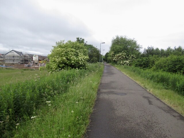
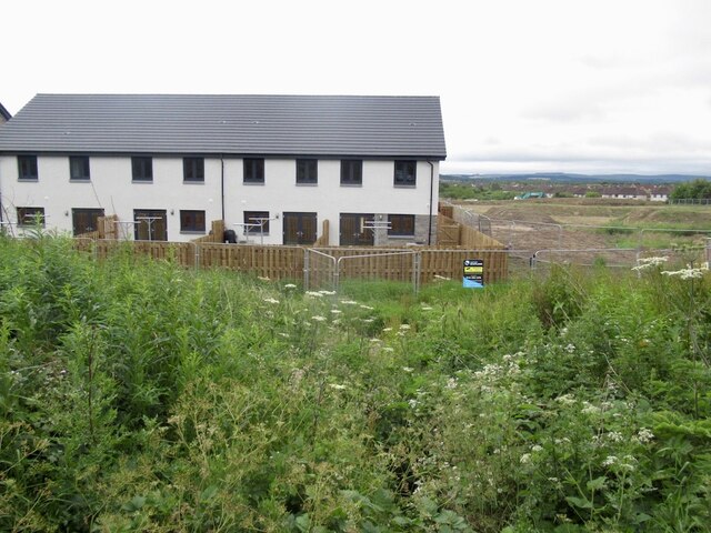
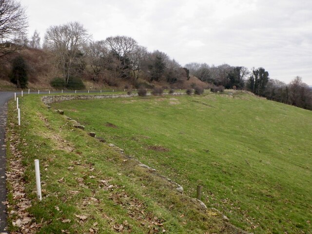
The town is known for its rich history, dating back to the 12th century when it was established as a mining village. Bonnyrigg's mining heritage can still be seen today in the form of several old colliery buildings and mining landmarks. However, the town has undergone significant development and transformation over the years, and now boasts a mix of modern amenities and traditional charm.
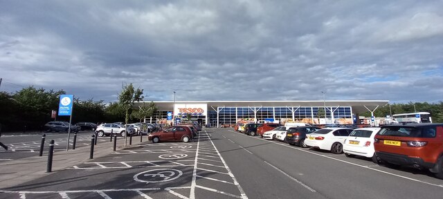
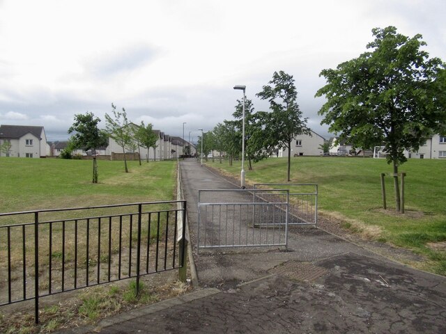
Bonnyrigg offers a range of facilities and services to cater to the needs of its residents. There are several local shops, supermarkets, and eateries, providing convenient access to everyday essentials. The town also has a leisure center with a swimming pool, a library, and various sports facilities, ensuring there are plenty of opportunities for recreational activities.
Education is well catered for in Bonnyrigg, with several primary and secondary schools available in the area. The town is also conveniently located for those pursuing higher education, as it is within easy reach of Edinburgh's universities and colleges.
Transport links in Bonnyrigg are excellent, with frequent bus services connecting the town to surrounding areas and the city of Edinburgh. The nearby Eskbank railway station provides further transportation options, allowing residents to easily access other parts of Scotland.
With its blend of history, amenities, and convenient location, Bonnyrigg is a desirable place to live for those seeking a peaceful and well-connected community within close proximity to the capital city.
If you have any feedback on the listing, please let us know in the comments section below.
Bonnyrigg Images
Images are sourced within 2km of 55.874056/-3.107068 or Grid Reference NT3065. Thanks to Geograph Open Source API. All images are credited.


Bonnyrigg is located at Grid Ref: NT3065 (Lat: 55.874056, Lng: -3.107068)
Unitary Authority: Midlothian
Police Authority: The Lothians and Scottish Borders
What 3 Words
///songbird.camera.retiring. Near Bonnyrigg, Midlothian
Nearby Locations
Related Wikis
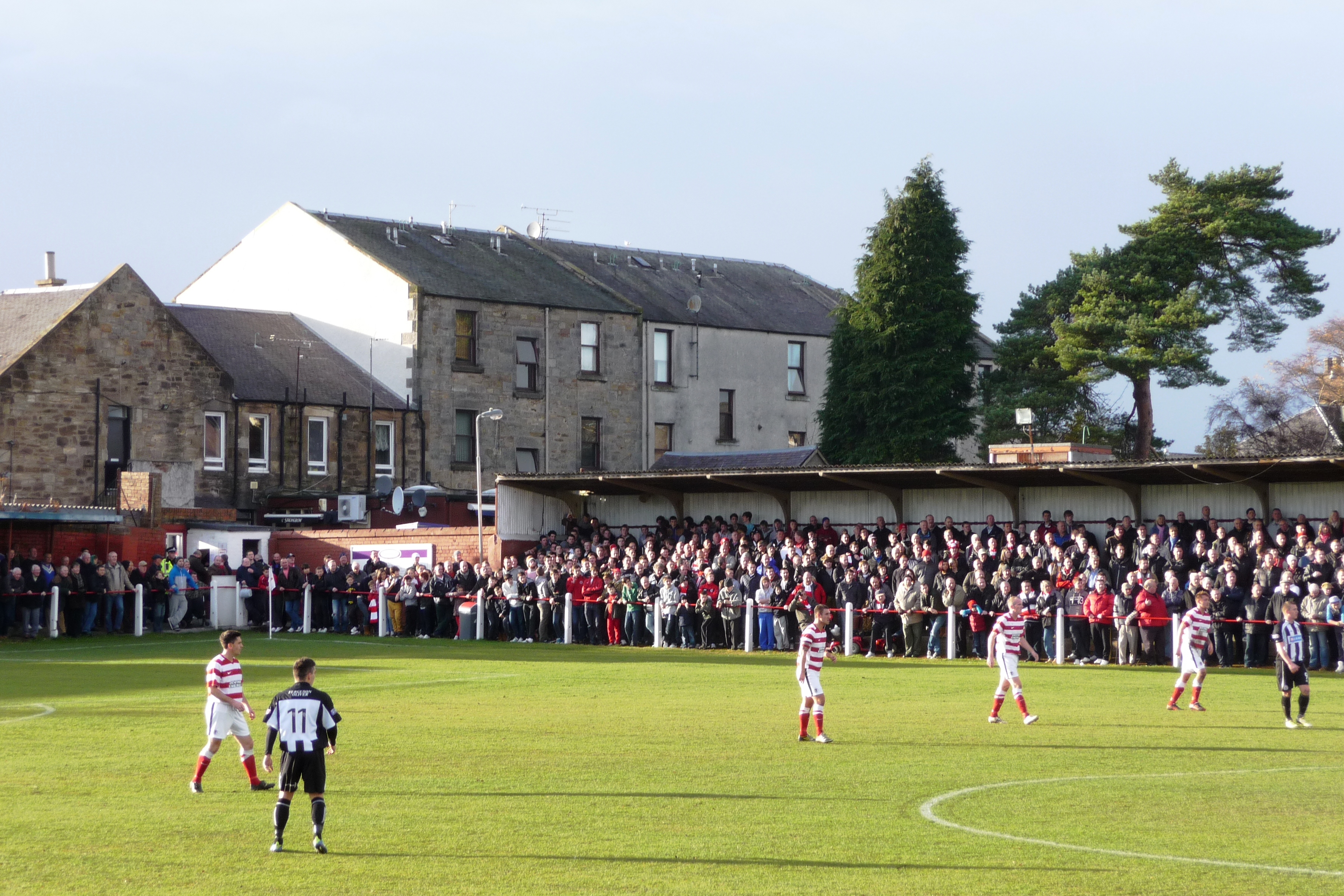
New Dundas Park
New Dundas Park is a stadium in Bonnyrigg, Scotland. It is used mostly for football matches as the home ground of Bonnyrigg Rose. The stadium has a capacity...

Bonnyrigg Rose F.C.
Bonnyrigg Rose Football Club is a Scottish football club from the town of Bonnyrigg, Scotland. Formed in 1881 and nicknamed the Rose, the team plays in...
Bonnyrigg
Bonnyrigg is a town in Midlothian, Scotland, which is eight miles (13 kilometres) southeast of Edinburgh city centre, between the Rivers North and South...
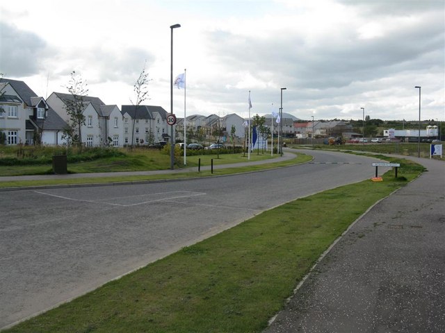
Hopefield, Bonnyrigg
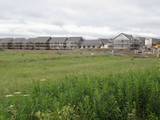
Hopefield is an area in the south of Bonnyrigg, Midlothian, occupied by a mid-20th century residential neighbourhood and by an early-21st century, ongoing...
Nearby Amenities
Located within 500m of 55.874056,-3.107068Have you been to Bonnyrigg?
Leave your review of Bonnyrigg below (or comments, questions and feedback).