Bonnyton

Settlement in Aberdeenshire

Scotland

Bonnyton

Old Milestone by the A920, Culsalmond Parish By the A920, in parish of Culsalmond (Grampian District), on long straight, in front of low stone wall, South side of road.

Inscription reads:-
27
(To Aberdeen)

Surveyed

Milestone Society National ID: AD_ADHN27
Old Milestone by the A920, Culsalmond Parish Credit: Milestone Society

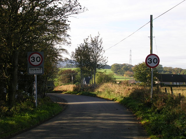
Bonnyton is a small rural community located in Aberdeenshire, Scotland. Situated about 10 miles northwest of the city of Aberdeen, it is nestled amidst picturesque countryside and offers a tranquil environment for its residents. The village is surrounded by rolling hills, farmland, and lush greenery, providing a scenic backdrop for those seeking a peaceful retreat from the bustling city life.

Bonnyton is primarily an agricultural community, with farming being a significant industry in the area. The fertile soil and favorable climate contribute to the success of local farmers who cultivate crops and rear livestock. The charming countryside setting also attracts nature enthusiasts, who can indulge in leisurely walks or explore the nearby forests and trails.

While Bonnyton is relatively small in size, it has a close-knit community that takes pride in maintaining its rural character. The village features a few traditional stone houses, adding to its quaint charm. The residents often engage in community activities and events, fostering a strong sense of belonging and camaraderie.

Due to its proximity to Aberdeen, Bonnyton benefits from easy access to urban amenities and services. The city provides various employment opportunities, shopping centers, healthcare facilities, and educational institutions, making it convenient for residents to meet their daily needs.

Overall, Bonnyton offers a peaceful and idyllic lifestyle amidst the natural beauty of Aberdeenshire, making it an attractive place to live for those seeking a tranquil rural community within reach of city conveniences.

If you have any feedback on the listing, please let us know in the comments section below.
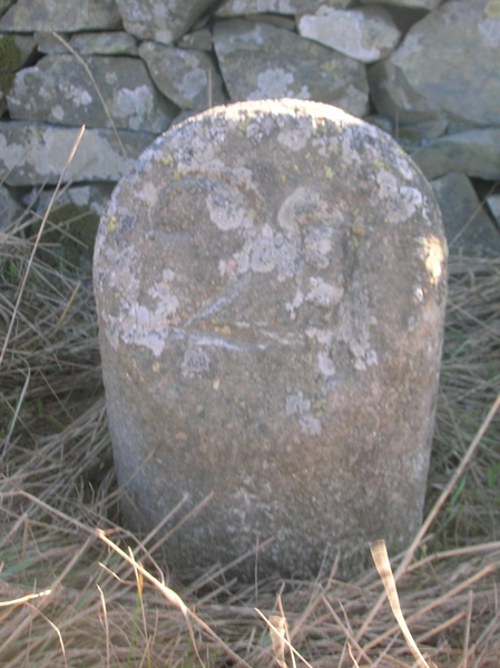
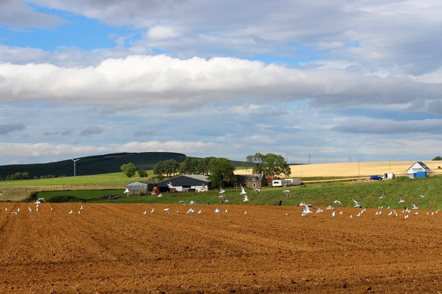
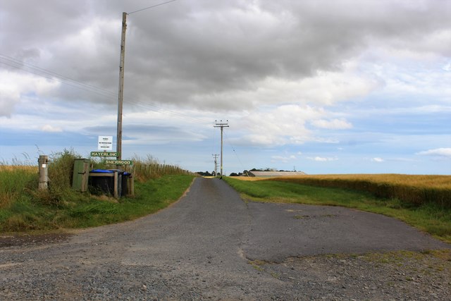
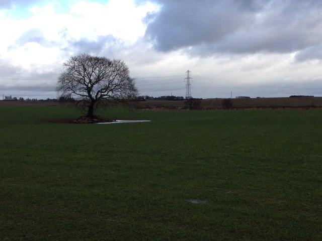
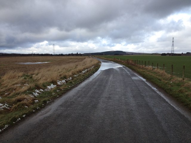
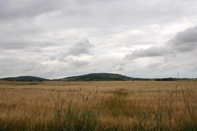
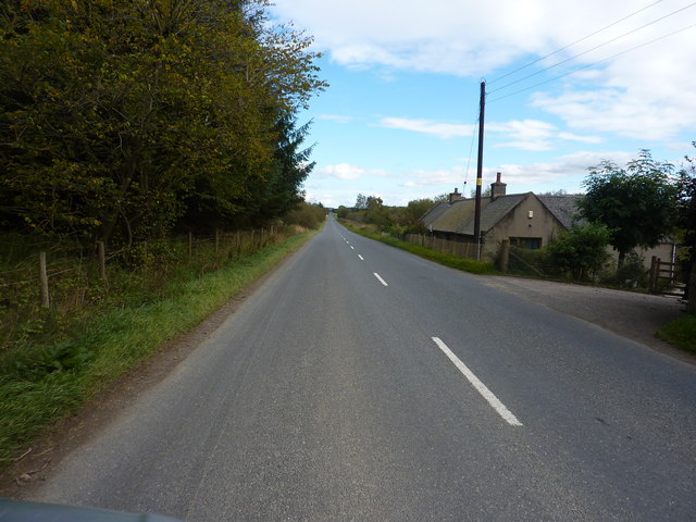
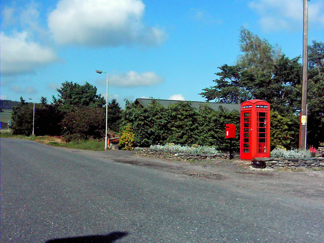
Bonnyton Images

Images are sourced within 2km of 57.365795/-2.538726 or Grid Reference NJ6730. Thanks to Geograph Open Source API. All images are credited.

Old Milestone by the A920, Culsalmond Parish By the A920, in parish of Culsalmond (Grampian District), on long straight, in front of low stone wall, South side of road.

Inscription reads:-
27
(To Aberdeen)

Surveyed

Milestone Society National ID: AD_ADHN27
Old Milestone by the A920, Culsalmond Parish
By the A920, in parish of Culsalmond (Grampian District), on long straight, in front of low stone wall, South side of road. Inscription reads:- 27 (To Aberdeen) Surveyed Milestone Society National ID: AD_ADHN27
Gulls by Lathries Gulls rising from a cultivated field in front of Lathries Farm.
Gulls by Lathries
Gulls rising from a cultivated field in front of Lathries Farm.
Mastrick Road An access road leading to several properties at Mastrick.
Mastrick Road
An access road leading to several properties at Mastrick.
School and Crossroads A crossroads by Rayne North primary school at Old Rayne.
School and Crossroads
A crossroads by Rayne North primary school at Old Rayne.
Highmuir Barley A barley field at Highmuir by Old Rayne. Highmuir croft is behind the trees and Bennachie on the sky line.
Highmuir Barley
A barley field at Highmuir by Old Rayne. Highmuir croft is behind the trees and Bennachie on the sky line.
Farmland near Old Rayne
Lawrence Road, near Old Rayne
Little Newton Field Grassland by Little Newton.
Little Newton Field
Grassland by Little Newton.
Waves of Barley Barley fields ripening at Combscauseway.
Waves of Barley
Barley fields ripening at Combscauseway.
Mastrick Farm Road The access road to Mastrick Farm by Rayne.
Mastrick Farm Road
The access road to Mastrick Farm by Rayne.
Wheat Fields Wheat growing by Loanhead and Mastrick.
Wheat Fields
Wheat growing by Loanhead and Mastrick.
One of the many long straight stretches of the A 920
A field of cattle, across the road from Newbigging Farm In the distance, The Hill of Rothmaise.
A field of cattle, across the road from Newbigging Farm
In the distance, The Hill of Rothmaise.
Minor road near Oxenloan
Road junction near Bonnyton
Minor road near Bonnyton
Minor road near North Rayne
Show me another place!

Bonnyton is located at Grid Ref: NJ6730 (Lat: 57.365795, Lng: -2.538726)

Unitary Authority: Aberdeenshire

Police Authority: North East

What 3 Words

///mouths.milder.always. Near Insch, Aberdeenshire

Nearby Locations

Bonnyton

Related Wikis

Bonnyton, Aberdeenshire

Bonnyton is a rural area of Old Rayne in the Garioch area of Aberdeenshire, Scotland.Bonnyton is a small secluded hamlet comprising seven houses, at the...

Freefield Castle

Freefield Castle was a castle, about 11.5 miles (18.5 km) north of Inverurie, Aberdeenshire, Scotland, and 1 mile (1.6 km) west of North Rayne.Alternatively...

Culsalmond

Culsalmond was a 16th-century castle about 9.5 miles (15.3 km) south east of Huntly, Aberdeenshire, Scotland, near the river Ury. == History == The castle...

Old Rayne

Old Rayne is a small village in Aberdeenshire, Scotland, approximately 9 miles (14 kilometres) north west of Inverurie and 14 mi (23 km) south east of...

Colpy

Colpy is a hamlet in Aberdeenshire, Scotland, situated 3 miles (5 kilometres) north of Insch. == External links == Colpy in the Gazetteer for Scotland...

Westhall Castle

Westhall Castle, also known as Westhall House, is a country house located to the north of Oyne, in Aberdeenshire, Scotland. The house includes a 16th-century...

Wartle railway station

Wartle railway station was a railway station that served local farms and the nearby hamlet of Meikle Wartle, Aberdeenshire. It was opened in 1857 by the...

Meikle Wartle

Meikle Wartle is a small rural village in Aberdeenshire, Scotland. It is around 7 miles north of Inverurie. Local facilities include a village hall dating...

Nearby Amenities

Located within 500m of 57.365795,-2.538726
Design: barrel
Power: tower
Lat/Long: 57.363573/-2.5440727
Design: barrel
Power: tower
Lat/Long: 57.3615174/-2.5400417
Power: pole
Lat/Long: 57.3676269/-2.5317313
Power: pole
Lat/Long: 57.3675869/-2.5327433
Power: pole
Lat/Long: 57.3675468/-2.5339646
Power: pole
Lat/Long: 57.367502/-2.5350711
Power: pole
Lat/Long: 57.3674547/-2.5362473
Power: pole
Lat/Long: 57.3674098/-2.5374573
Power: pole
Lat/Long: 57.3670411/-2.538719
Power: pole
Lat/Long: 57.3667452/-2.5397828
Power: pole
Lat/Long: 57.366351/-2.541094
Power: pole
Lat/Long: 57.3660211/-2.5422185
Power: pole
Lat/Long: 57.3656536/-2.5435027
Power: pole
Lat/Long: 57.3659241/-2.5446228
Power: pole
Lat/Long: 57.3661739/-2.5456798
Power: pole
Lat/Long: 57.3664662/-2.5468763
Power: pole
Lat/Long: 57.3681641/-2.5319652
Generator Method: wind_turbine
Generator Output Electricity: yes
Generator Source: wind
Generator Type: horizontal_axis
Power: generator
Lat/Long: 57.3672018/-2.5350463
The data included in this document is from www.openstreetmap.org. The data is made available under ODbL.

Have you been to Bonnyton?

Leave your review of Bonnyton below (or comments, questions and feedback).