Bonnyton

Settlement in Angus

Scotland

Bonnyton

Communications mast by Tealing Road On approach to Kirkton of Auchterhouse.
Communications mast by Tealing Road Credit: Stanley Howe

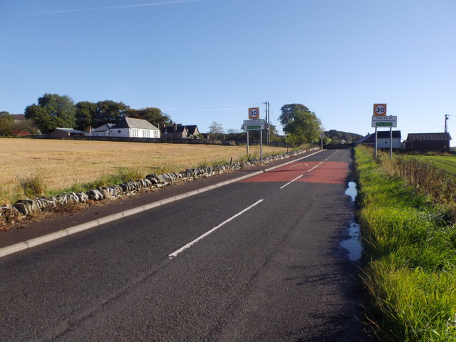
Bonnyton is a small village located in the Angus region of Scotland. Situated approximately 5 miles north of the town of Forfar, it is surrounded by picturesque countryside and offers a tranquil and idyllic setting for its residents.

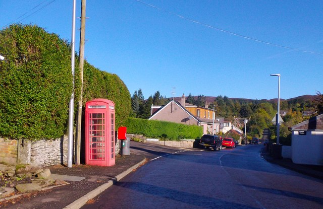
The village itself is relatively small, with a population of around 300 people. It is primarily a residential area, consisting of a mix of traditional stone-built houses and more modern dwellings. The community in Bonnyton is close-knit and friendly, with a strong sense of community spirit.

Although small, Bonnyton has a few amenities to offer its residents. There is a local primary school, providing education for the village's children, as well as a community hall that serves as a hub for various social activities and events. Additionally, there is a small convenience store that caters to the daily needs of the locals.

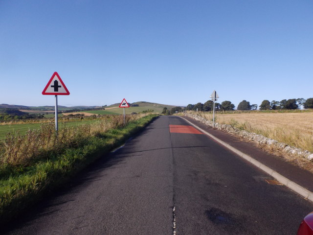
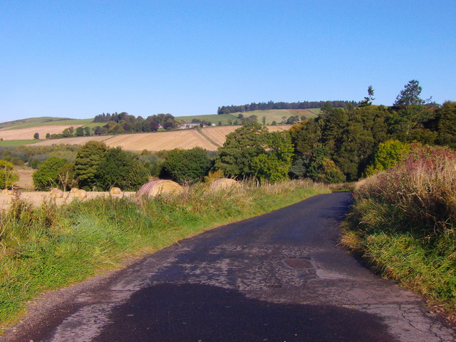
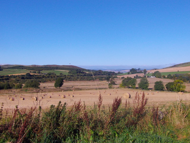
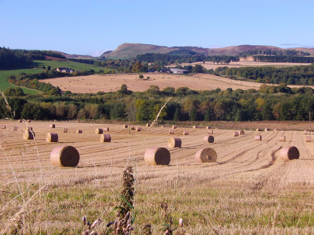
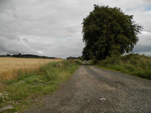
The surrounding area boasts beautiful landscapes, with rolling hills, farmland, and patches of woodland. This makes Bonnyton an ideal location for outdoor enthusiasts, offering opportunities for walking, cycling, and exploring the countryside. The village is also in close proximity to the Angus Glens, a range of stunning valleys that provide further opportunities for outdoor pursuits.

Overall, Bonnyton is a charming and peaceful village that offers a high quality of life to its residents. With its stunning surroundings and strong community spirit, it is a desirable place to live for those seeking a slower pace of life in the heart of the Scottish countryside.

If you have any feedback on the listing, please let us know in the comments section below.
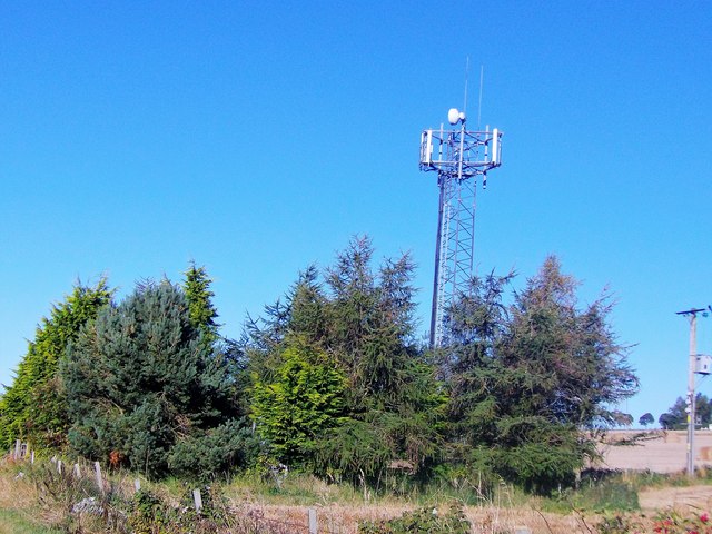
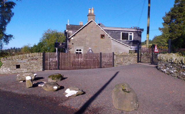
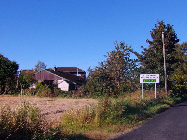
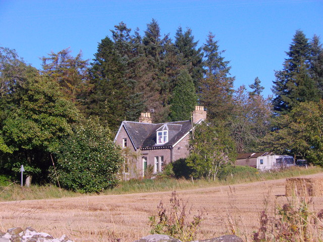
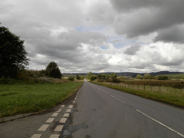
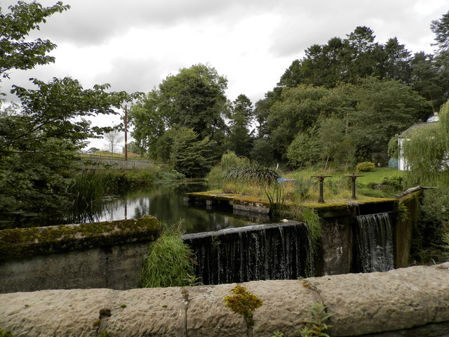
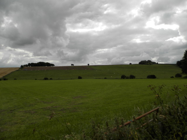
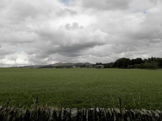
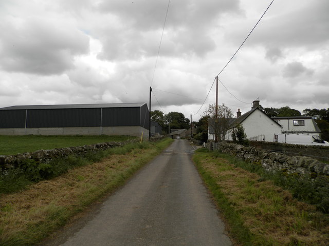
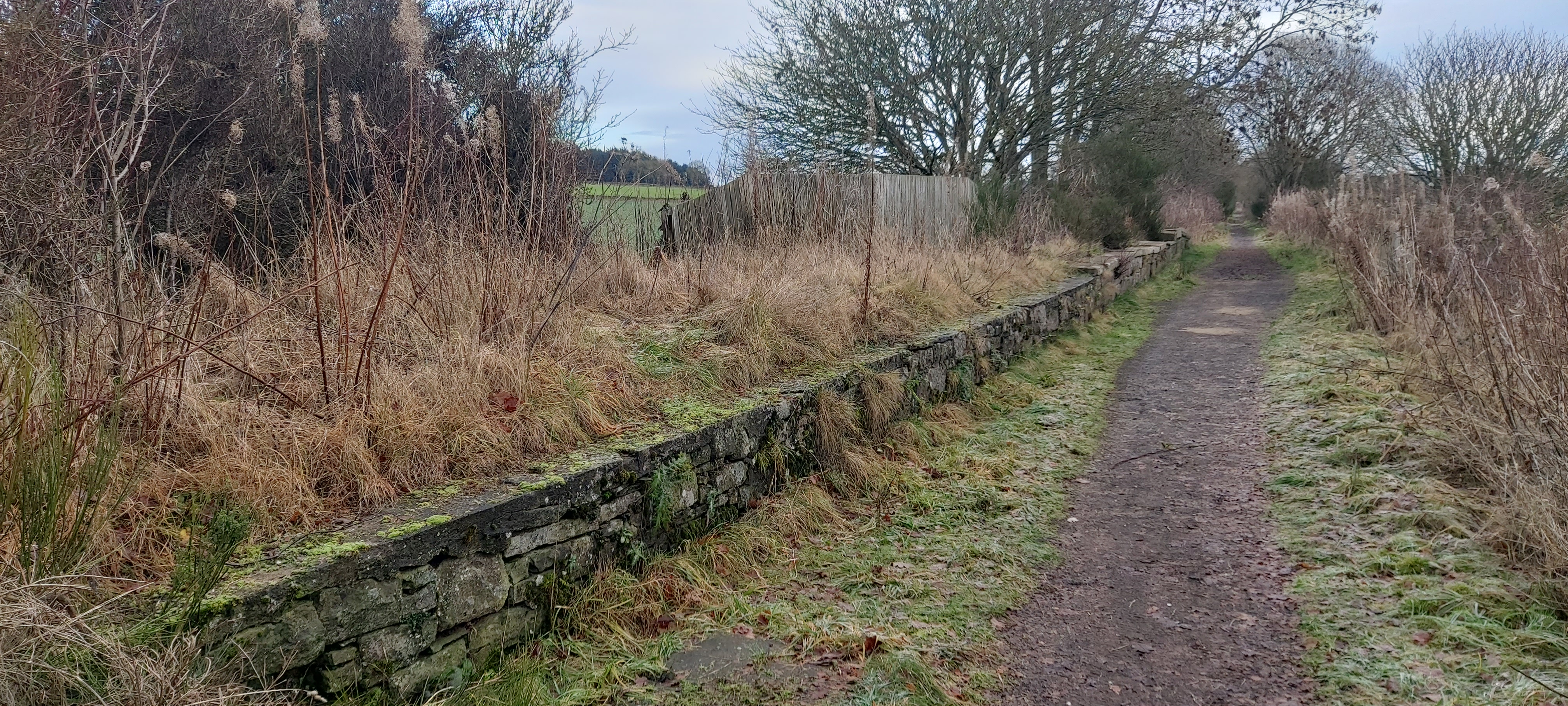
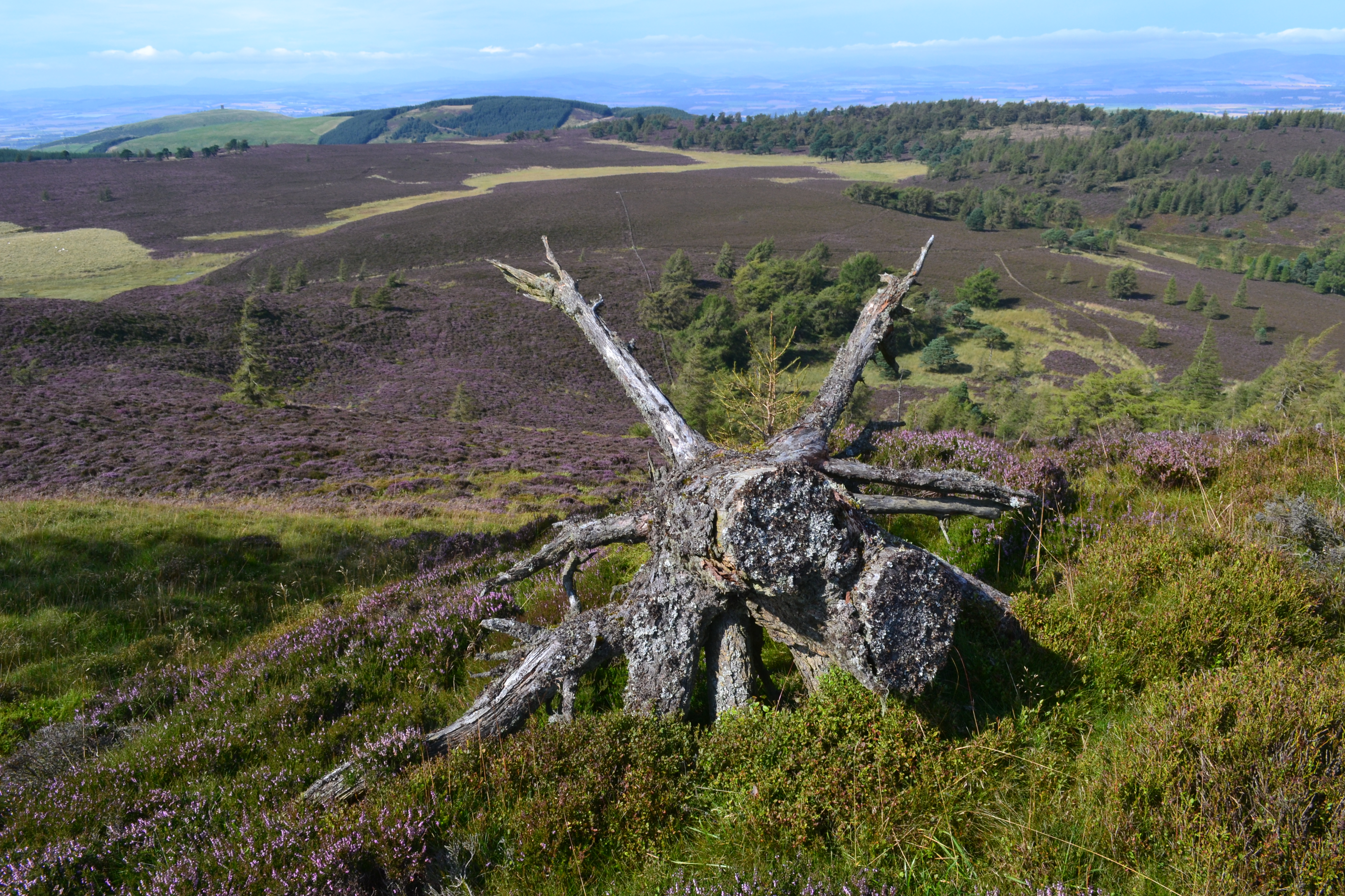
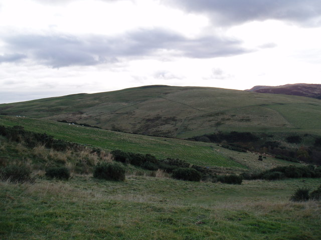
Bonnyton Images

Images are sourced within 2km of 56.529228/-3.090801 or Grid Reference NO3338. Thanks to Geograph Open Source API. All images are credited.

Communications mast by Tealing Road On approach to Kirkton of Auchterhouse.
Communications mast by Tealing Road
On approach to Kirkton of Auchterhouse.
Quarry House, Tealing Road At a former access from minor road to Parkhill quarries (now disused).
Quarry House, Tealing Road
At a former access from minor road to Parkhill quarries (now disused).
Entering Kirkton of Auchterhouse By way of Tealing Road.
Entering Kirkton of Auchterhouse
By way of Tealing Road.
Moredun, Kirkton of Auchterhouse Viewed from the Tealing Road.
Moredun, Kirkton of Auchterhouse
Viewed from the Tealing Road.
Entrance to Kirkton of Auchterhouse On minor road from Auchterhouse; village school on left.
Entrance to Kirkton of Auchterhouse
On minor road from Auchterhouse; village school on left.
Road from Kirkton to Auchterhouse Approaching a crossroads.
Road from Kirkton to Auchterhouse
Approaching a crossroads.
Telephone box and postbox In Kirkton of Auchterhouse.
Telephone box and postbox
In Kirkton of Auchterhouse.
Bonnyton Road Near Westwood.
Bonnyton Road
Near Westwood.
View NW from above the Bridge of Bonnyton Through the Glack of Newtyle; after harvesting.
View NW from above the Bridge of Bonnyton
Through the Glack of Newtyle; after harvesting.
View WSW from road above Bridge of Bonnyton To Lundie Craigs, over harvested corn fields.
View WSW from road above Bridge of Bonnyton
To Lundie Craigs, over harvested corn fields.
Cottage near Bonnyton Bridge
Track to Pitpointie Farm
Minor road near Dronley
The B954 at Dronley
The B954 at Dronley
Sluice at Auchterhouse
Field at West Mains, Auchterhouse
Field at East Mains, Auchterhouse
East Mains, Auchterhouse
Show me another place!

Bonnyton is located at Grid Ref: NO3338 (Lat: 56.529228, Lng: -3.090801)

Unitary Authority: Angus

Police Authority: Tayside

What 3 Words

///diplomas.manicured.encrusted. Near Muirhead, Angus

Nearby Locations

Bonnyton

Related Wikis

Auchterhouse railway station

Auchterhouse railway station served the village of Auchterhouse in the Scottish county of Angus. Services were provided by the Dundee and Newtyle Railway...

Auchterhouse

Auchterhouse is a village, community, and civil parish in the Scottish council area of Angus, located 7.3 miles (11.7 km) north west of Dundee, 9.5 miles...

Dronley railway station

Dronley railway station served the village of Dronley, Angus, Scotland from 1860 to 1955 on the Dundee and Newtyle Railway. == History == The station opened...

Balbeuchly (Top) railway station

Balbeuchly (Top) railway station served the village of Auchterhouse, Angus, Scotland, from 1831 to 1861 on the Dundee and Newtyle Railway. == History... ==

Dundee West (UK Parliament constituency)

Dundee West is a constituency of the House of Commons of the Parliament of the United Kingdom. It elects one Member of Parliament (MP) by the first-past...

Auchterhouse Hill

Auchterhouse Hill is the second highest hill of the Sidlaw range in South East Angus. At 426 metres (1,398 ft), it is classified as a Tump with a relative...

Pitlyal Loch

Pitlyal Loch also known as Round Loch is a small lochan in Sidlaw Hills in Angus. It is located southeast of Long Loch and is almost directly south of...

Hatton Hill

Hatton Hill is a mountain landform in Angus, Scotland in the Sidlaw Hills. Hatton Castle stands on the flanks of Hatton Hill above the village of Newtyle...

Nearby Amenities

Located within 500m of 56.529228,-3.090801
Parking
Lat/Long: 56.5322153/-3.0963866
Auchterhouse Country Sports
Addr City: Dundee
Addr Housename: Burnhead Farm
Addr Postcode: DD3 0QN
Addr Suburb: Auchterhouse
Website: https://www.auchterhousecountrysports.co.uk/
Lat/Long: 56.5248914/-3.0887253
Auchterhouse
Traffic Sign: city_limit
Lat/Long: 56.5261161/-3.0922
Auchterhouse
Historic Railway: station
Railway: site
Wikidata: Q4819470
Wikipedia: en:Auchterhouse railway station
Lat/Long: 56.5258495/-3.0857629
Power: pole
Lat/Long: 56.5274624/-3.0835072
Power: pole
Lat/Long: 56.5278099/-3.0844113
Power: pole
Lat/Long: 56.5281264/-3.0852514
Power: pole
Lat/Long: 56.5284484/-3.0860966
Power: pole
Lat/Long: 56.5286999/-3.0867318
Power: pole
Lat/Long: 56.5289471/-3.08739
Power: pole
Lat/Long: 56.5292225/-3.0881276
Power: pole
Lat/Long: 56.5295361/-3.0889652
Power: pole
Lat/Long: 56.5298723/-3.089859
Power: pole
Lat/Long: 56.5301971/-3.0906735
Power: pole
Lat/Long: 56.5305489/-3.0915443
Power: pole
Lat/Long: 56.5309062/-3.0921334
Power: pole
Lat/Long: 56.5312622/-3.0926303
Power: pole
Lat/Long: 56.5317523/-3.093309
Power: pole
Lat/Long: 56.5321322/-3.0938289
Power: pole
Lat/Long: 56.5325164/-3.0943668
Power: pole
Lat/Long: 56.5329076/-3.0948867
Power: pole
Lat/Long: 56.528601/-3.0849594
Power: pole
Lat/Long: 56.528755/-3.0838555
Power: pole
Lat/Long: 56.5289118/-3.0827491
Power: pole
Lat/Long: 56.5295488/-3.0829489
Power: pole
Lat/Long: 56.5301844/-3.0831666
Power: pole
Lat/Long: 56.530796/-3.0833894
Power: pole
Lat/Long: 56.5301279/-3.0915853
Power: pole
Lat/Long: 56.5296562/-3.0915545
Power: pole
Lat/Long: 56.5287013/-3.0915059
Power: pole
Lat/Long: 56.5277944/-3.0914675
Power: pole
Lat/Long: 56.5270316/-3.0917671
Power: pole
Lat/Long: 56.5269596/-3.0918132
Power: pole
Lat/Long: 56.5265852/-3.0919618
Power: pole
Lat/Long: 56.5261868/-3.092118
Power: pole
Lat/Long: 56.5260385/-3.0921718
Power: pole
Lat/Long: 56.5252898/-3.0924868
Power: pole
Lat/Long: 56.5267646/-3.0906223
Power: pole
Lat/Long: 56.5273452/-3.0929811
Power: pole
Lat/Long: 56.5276644/-3.0941849
Power: pole
Lat/Long: 56.5279795/-3.0953887
Power: pole
Lat/Long: 56.5283015/-3.0965643
Power: pole
Lat/Long: 56.5285134/-3.0972789
Power: pole
Lat/Long: 56.5289838/-3.0984954
Power: pole
Lat/Long: 56.5248575/-3.0906274
Power: pole
Lat/Long: 56.525109/-3.0897976
Power: pole
Lat/Long: 56.5252432/-3.089375
Power: pole
Lat/Long: 56.5250115/-3.0917543
The data included in this document is from www.openstreetmap.org. The data is made available under ODbL.

Have you been to Bonnyton?

Leave your review of Bonnyton below (or comments, questions and feedback).