Bonnyton

Settlement in Angus

Scotland

Bonnyton

Gightyburn Farm A small farm by Rossie near Montrose.
Gightyburn Farm Credit: Andrew Wood

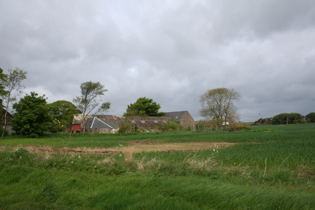
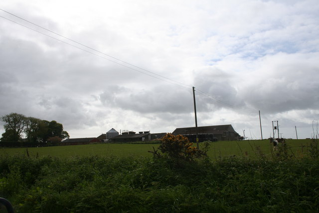
Bonnyton is a small village located in the Angus region of Scotland. Situated about 5 miles southwest of the town of Forfar, it lies near the southern edge of the county, nestled amidst beautiful rural surroundings. With a population of around 200 residents, Bonnyton is a close-knit community that exudes a peaceful and tranquil atmosphere.

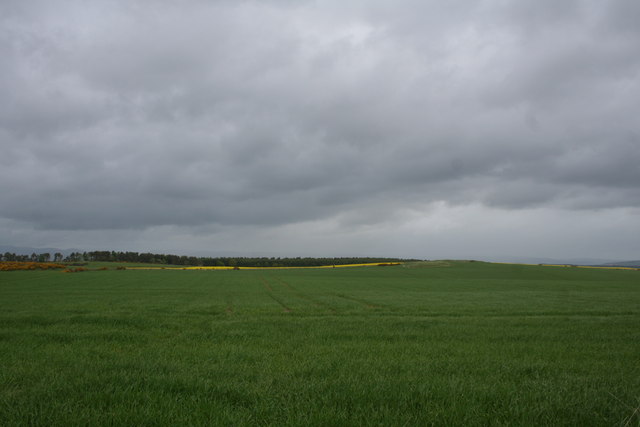
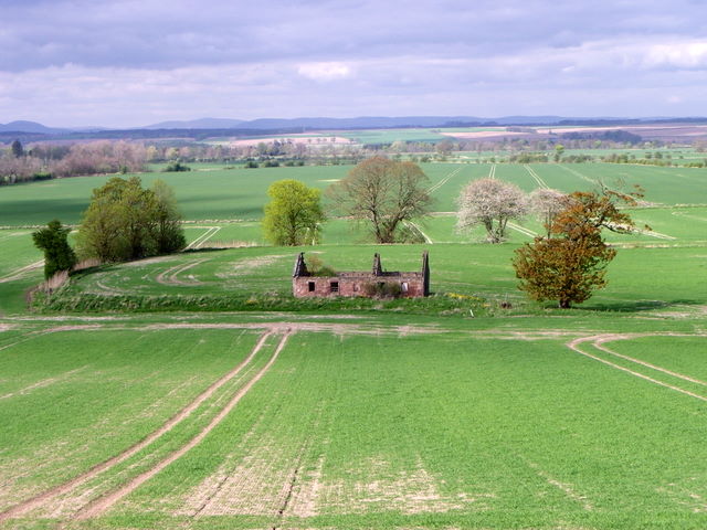
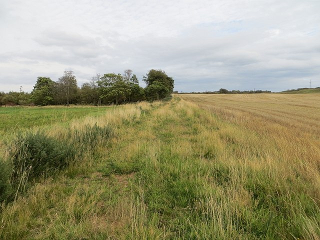
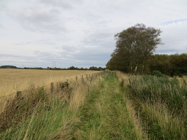
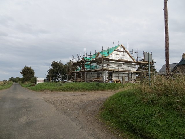
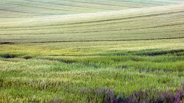
The village is characterized by its charming traditional stone-built cottages and houses, which add to its picturesque appeal. The surrounding countryside is predominantly agricultural, with rolling hills and fertile farmland providing a scenic backdrop to the village. The area is known for its rich agricultural heritage, and farming remains an important part of the local economy.

Bonnyton benefits from its proximity to Forfar, which offers a range of amenities and services, including shops, schools, and healthcare facilities. Additionally, the village is well-connected to other parts of Angus and beyond, with good road links to nearby towns and cities, such as Dundee and Aberdeen.

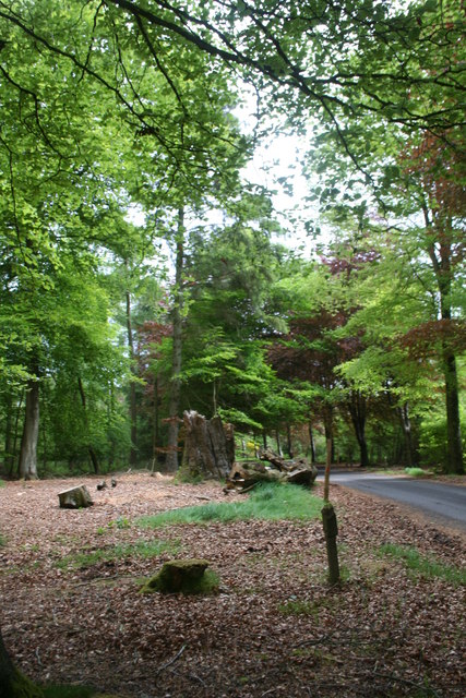
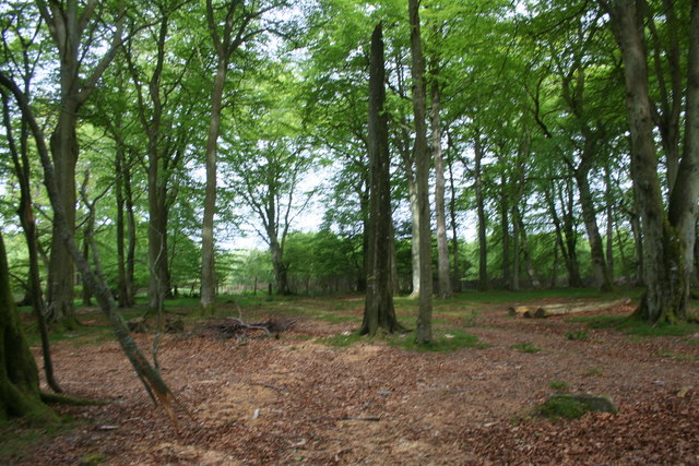
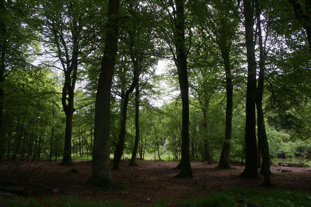
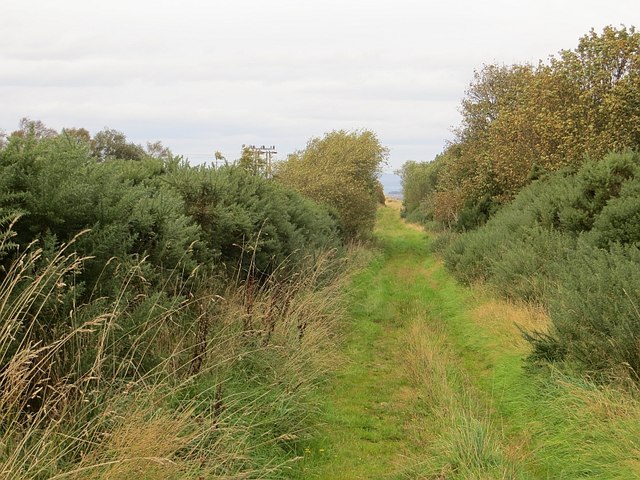
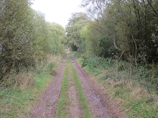
The village is also in close proximity to various natural attractions, such as the Angus Glens and the stunning coastline of the North Sea. Outdoor enthusiasts can enjoy activities such as hiking, cycling, and birdwatching in the nearby nature reserves and parks.

Overall, Bonnyton offers a peaceful and idyllic setting for those seeking a rural lifestyle, while still being within easy reach of essential amenities and natural beauty.

If you have any feedback on the listing, please let us know in the comments section below.

Bonnyton Images

Images are sourced within 2km of 56.685496/-2.5566161 or Grid Reference NO6655. Thanks to Geograph Open Source API. All images are credited.

Gightyburn Farm A small farm by Rossie near Montrose.
Gightyburn Farm
A small farm by Rossie near Montrose.
Rossie Stump A tree stump in woodland at Rossie.
Rossie Stump
A tree stump in woodland at Rossie.
Rossie Wood Woodland near Rossie school.
Rossie Wood
Woodland near Rossie school.
Rossie Woodland Mature woodland at Rossie.
Rossie Woodland
Mature woodland at Rossie.
Westerton of Rossie A farm near Montrose.
Westerton of Rossie
A farm near Montrose.
Pitarris Fields Fields by Pitarris Hill looking across to Four Hundred Contour Wood.
Pitarris Fields
Fields by Pitarris Hill looking across to Four Hundred Contour Wood.
West Mains of Rossie The tree lined avenue leading to the West Mains of Rossie.
West Mains of Rossie
The tree lined avenue leading to the West Mains of Rossie.
Ruin near Bonnyton According to the map, in times past a castle stood on this site, but all that remains now is the ruins of a more modern cottage.
Ruin near Bonnyton
According to the map, in times past a castle stood on this site, but all that remains now is the ruins of a more modern cottage.
Path, Rossie Moor This section is very different to the path at the western end. No fences here, just a rough track beside a huge arable field.
Path, Rossie Moor
This section is very different to the path at the western end. No fences here, just a rough track beside a huge arable field.
Track, Rossie Moor The eastern end is a bit more defined than the western end of the path. The route is unobstructed at the moment, and you can get through on horseback. However the whins and broom mean business, and the path needs more traffic to keep it open.
Track, Rossie Moor
The eastern end is a bit more defined than the western end of the path. The route is unobstructed at the moment, and you can get through on horseback. However the whins and broom mean business, and the path needs more traffic to keep it open.
Track on Rossie Moor Bonnyton to Rossie track.
Track on Rossie Moor
Bonnyton to Rossie track.
Track, Rossie The road continues to Pamphry or Bonnyton from the public road end at Rossie.
Track, Rossie
The road continues to Pamphry or Bonnyton from the public road end at Rossie.
Woodland, Rossie There are mature beeches here, mixed in with conifers.
Woodland, Rossie
There are mature beeches here, mixed in with conifers.
Westerton of Rossie Looking towards the end of the public (yellow) road from the eastern end of a track/path over Rossie Moor. While threatened by rampant vegetation in places, the path is still easy to use.
Westerton of Rossie
Looking towards the end of the public (yellow) road from the eastern end of a track/path over Rossie Moor. While threatened by rampant vegetation in places, the path is still easy to use.
New house, Westerton of Rossie
Arable land, Rossie The trees surround a pond.
Arable land, Rossie
The trees surround a pond.
Long straight road A windy hill top at Rossie.
Long straight road
A windy hill top at Rossie.
Barley, Carcary Land sloping down to the carse around Montrose Basin.
Barley, Carcary
Land sloping down to the carse around Montrose Basin.
Show me another place!

Bonnyton is located at Grid Ref: NO6655 (Lat: 56.685496, Lng: -2.5566161)

Unitary Authority: Angus

Police Authority: Tayside

What 3 Words

///sports.impeached.bead. Near Montrose, Angus

Related Wikis

Old Montrose

Old Montrose is an estate in Montrose, Angus, Scotland. The lands and house of Old Montrose were given to David de Graham of Kincardine, in exchange for...

Arbikie distillery

Arbikie distillery is a scotch whisky, vodka and gin distillery in Inverkeilor, Angus, Scotland. == History == The distillery was built in 2013 on the...

Farnell Road railway station

Farnell Road railway station served the village of Farnell, Angus, Scotland from 1848 to 1956 on the Aberdeen Railway. == History == The station opened...

Kinnaird Castle, Brechin

Kinnaird Castle is a 15th-century castle near Brechin in Angus, Scotland. The castle has been home to the Carnegie family, the Earls of Southesk, for more...

Farnell, Angus

Farnell is a village in Angus, Scotland. It lies 2 miles south of the River South Esk, between Brechin and Montrose, near Kinnaird Castle. == References ==

Bridge of Dun

Bridge of Dun is a village in Angus, Scotland, located north of the River South Esk and south of the A935 road from Brechin to Montrose. == History... ==

Bridge of Dun railway station

Bridge of Dun is a privately owned station in Angus. The adjacent platforms and line are independently operated as a preserved railway by the Caledonian...

Lunan Bay railway station

Lunan Bay railway station served the village of Lunan, Angus, Scotland from 1883 to 1964 on the North British, Arbroath and Montrose Railway. == History... ==

Nearby Amenities

Located within 500m of 56.685496,-2.5566161
Power: pole
Lat/Long: 56.687025/-2.5624954
Power: pole
Lat/Long: 56.6881929/-2.5621291
Power: pole
Lat/Long: 56.6857729/-2.5618155
Power: pole
Lat/Long: 56.6841663/-2.5610044
Power: pole
Lat/Long: 56.6830371/-2.5604343
Power: pole
Lat/Long: 56.682042/-2.5599321
Bonnyton Hill
Ele: 129
Natural: peak
Lat/Long: 56.6865397/-2.5506045
Pitarris Hill
Ele: 139
Natural: peak
Lat/Long: 56.6826151/-2.5553681
The data included in this document is from www.openstreetmap.org. The data is made available under ODbL.

Have you been to Bonnyton?

Leave your review of Bonnyton below (or comments, questions and feedback).