Bonnyton

Settlement in Ayrshire

Scotland

Bonnyton

Onthank Trigpoint
Onthank Trigpoint Credit: Brian Robertson

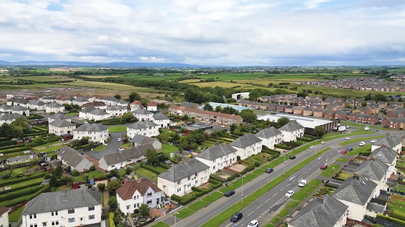
Bonnyton is a small village located in the region of Ayrshire, Scotland. Situated approximately 2 miles south of the town of Kilmarnock, Bonnyton is a charming residential area with a population of around 1,500 people. The village is well-known for its peaceful and picturesque surroundings, surrounded by beautiful countryside and farmland.

The main feature of Bonnyton is its close-knit community, where residents enjoy a friendly and welcoming atmosphere. The village offers a range of amenities, including a local primary school, a community center, and a small selection of shops and services. For more extensive shopping and entertainment options, the town of Kilmarnock is easily accessible.

Bonnyton is also renowned for its strong sense of community spirit, with various events and activities organized throughout the year. The village hosts an annual summer fair, which attracts visitors from neighboring areas. Additionally, there are several sports clubs, including football and bowling, where residents can participate in recreational activities.

In terms of transportation, Bonnyton benefits from good road connections, with the A77 road passing nearby, providing easy access to Kilmarnock and other nearby towns. The village also has regular bus services, offering convenient transportation links to the wider region.

Overall, Bonnyton in Ayrshire is a quaint and peaceful village, offering a close-knit community, beautiful surroundings, and a range of amenities. It provides residents with a tranquil and friendly place to live while enjoying the benefits of nearby urban centers.

If you have any feedback on the listing, please let us know in the comments section below.
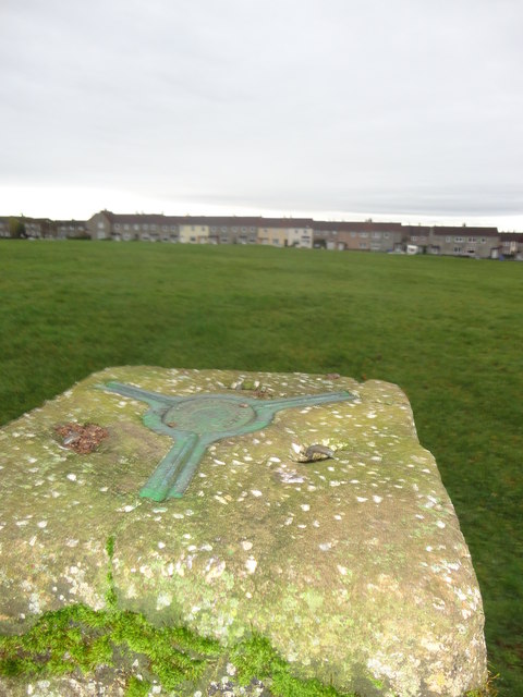
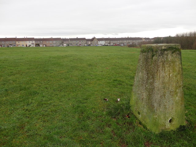
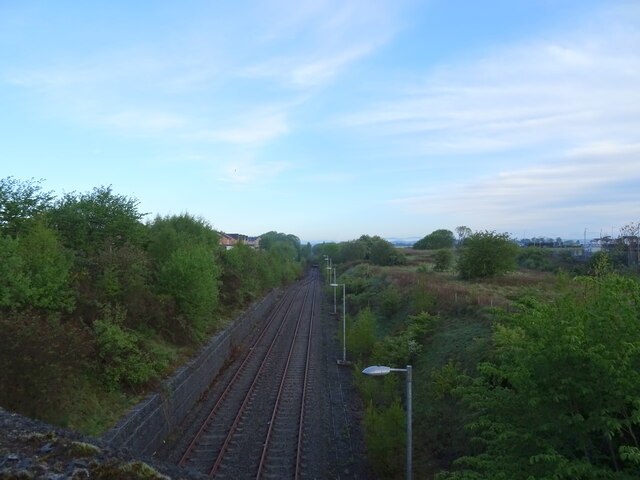
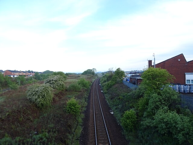
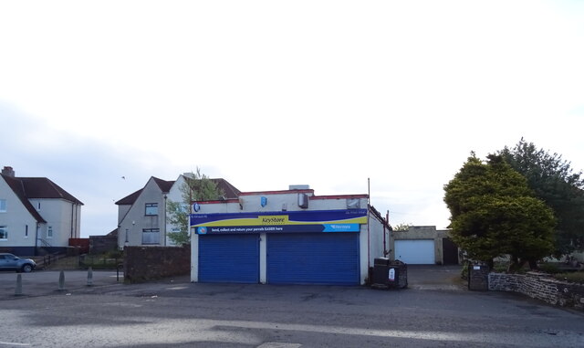
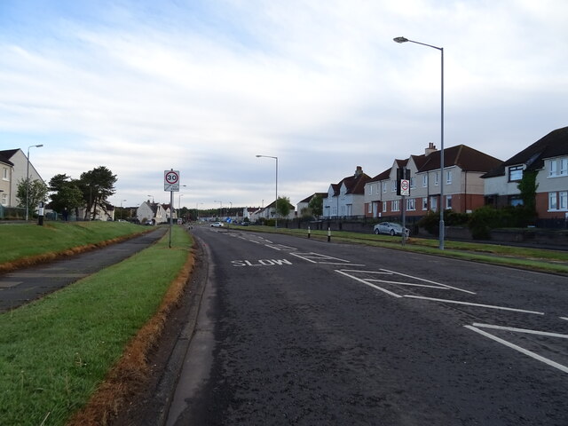
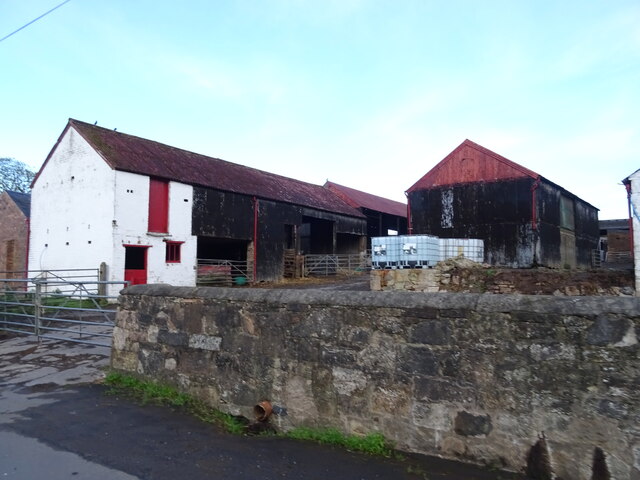
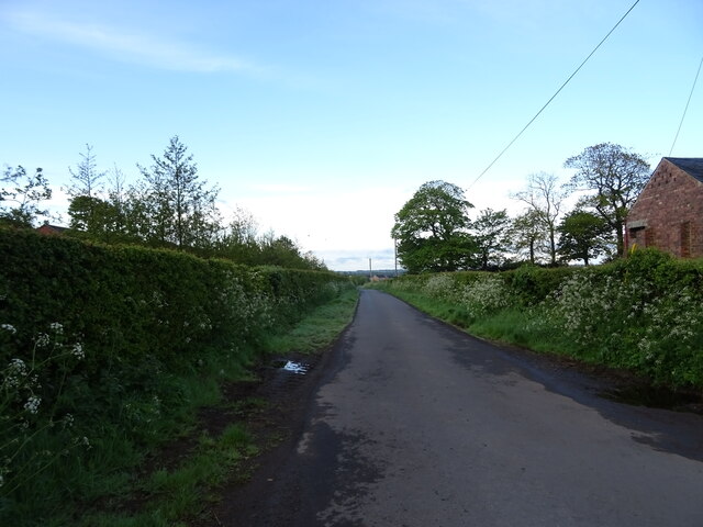
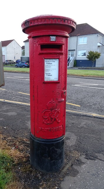
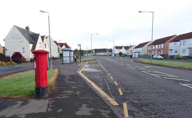
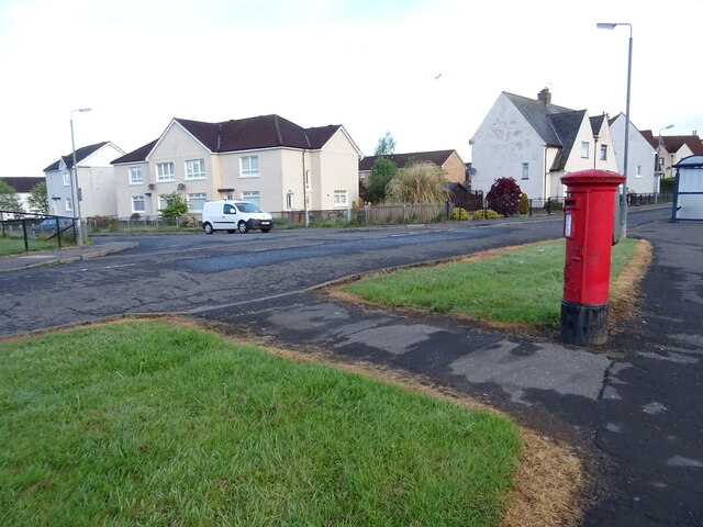
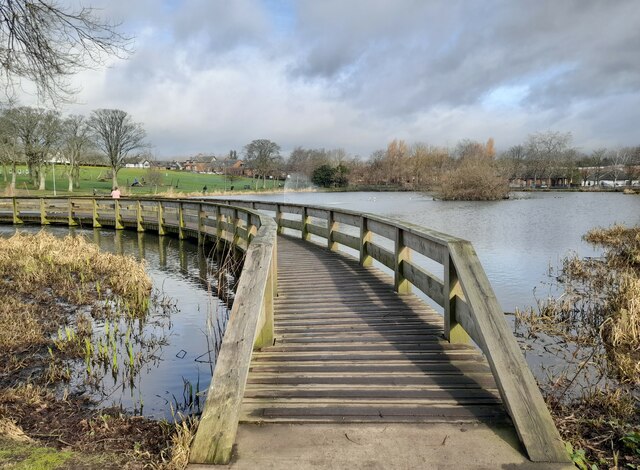
Bonnyton Images

Images are sourced within 2km of 55.612644/-4.513579 or Grid Reference NS4138. Thanks to Geograph Open Source API. All images are credited.

Onthank Trigpoint
Onthank Trigpoint
South Onthank Trigpoint
Rugby Park Rugby Park, home to Kilmarnock Football Club.
Rugby Park
Rugby Park, home to Kilmarnock Football Club.
Passing loop on the former Kilmarnock to Crosshouse rail line From the bridge on the B7064.
Passing loop on the former Kilmarnock to Crosshouse rail line
From the bridge on the B7064.
Kilmarnock to Glasgow railway From the bridge on the B7064.
Kilmarnock to Glasgow railway
From the bridge on the B7064.
Car dealership on Western Road, Kilmarnock
Shop on Kilmaurs Road, Kilmarnock
Houses on Kilmaurs Road, Kilmarnock
Kilmaurs Road (A735), Kilmarnock
Farm buildings, Altonhill
Minor road, Altonhill Towards Knockentiber.
Minor road, Altonhill
Towards Knockentiber.
George VI postbox on Kilmaurs Road, Kilmarnock Postbox No. KA3 120.

See <a href="https://www.geograph.org.uk/photo/7032094">NS4239 : Kilmaurs Road (A735), Kilmarnock</a> and <a href="https://www.geograph.org.uk/photo/7032096">NS4239 : Kilmaurs Road, Kilmarnock</a> for context.
George VI postbox on Kilmaurs Road, Kilmarnock
Kilmaurs Road (A735), Kilmarnock Showing position of Postbox No. KA3 120.

See <a href="https://www.geograph.org.uk/photo/7032090">NS4239 : George VI postbox on Kilmaurs Road, Kilmarnock</a> for postbox.
Kilmaurs Road (A735), Kilmarnock
Showing position of Postbox No. KA3 120. See NS4239 : George VI postbox on Kilmaurs Road, Kilmarnock for postbox.
Kilmaurs Road, Kilmarnock Showing position of Postbox No. KA3 120.

See <a href="https://www.geograph.org.uk/photo/7032090">NS4239 : George VI postbox on Kilmaurs Road, Kilmarnock</a> for postbox.
Kilmaurs Road, Kilmarnock
Showing position of Postbox No. KA3 120. See NS4239 : George VI postbox on Kilmaurs Road, Kilmarnock for postbox.
Walkway at Kay Park Timber walkway at the duck pond in Kay Park.
Walkway at Kay Park
Timber walkway at the duck pond in Kay Park.
The end of Union Street What look like fairly modern  blocks of flats at the end of Union Street.
The end of Union Street
What look like fairly modern blocks of flats at the end of Union Street.
On Beansburn The sign for Dean Castle Country Park is just up ahead.
On Beansburn
The sign for Dean Castle Country Park is just up ahead.
Western Road Semi detached houses on Western Road.
Western Road
Semi detached houses on Western Road.
Show me another place!

Bonnyton is located at Grid Ref: NS4138 (Lat: 55.612644, Lng: -4.513579)

Unitary Authority: East Ayrshire

Police Authority: Ayrshire

What 3 Words

///water.ground.editor. Near Kilmarnock, East Ayrshire

Nearby Locations

Bonnyton

Related Wikis

Kilmarnock Locomotive Works

Kilmarnock Locomotive Works was built in 1856 by the Glasgow and South Western Railway (GSWR) in Kilmarnock, East Ayrshire, Scotland. == History == The...

Bonnyton, East Ayrshire

Bonnyton (Scots: Bonnietoun, Scottish Gaelic: Bonnyton) is a former village, currently an area in the western part of Kilmarnock in East Ayrshire, Scotland...

Annanhill, East Ayrshire

Annanhill is an area of the town of Kilmarnock, in East Ayrshire. It is the home of Annanhill Primary, Grange Academy and Park School. == References ==

Grange Academy, Kilmarnock

Grange Academy (Scottish Gaelic: Acadamaidh Grange) is a non-denominational secondary school based in Kilmarnock in East Ayrshire, Scotland. It serves...

Nearby Amenities

Located within 500m of 55.612644,-4.513579
Traffic Signals
Traffic Signals: signal
Lat/Long: 55.6107811/-4.5161689
Crossing
Bicycle: yes
Crossing: traffic_signals
Crossing Island: no
Crossing Ref: toucan
Tactile Paving: yes
Lat/Long: 55.616349/-4.5101966
Turning Circle
Lat/Long: 55.6105892/-4.5101224
Turning Circle
Lat/Long: 55.610683/-4.511399
Crossing
Crossing: traffic_signals
Tactile Paving: yes
Lat/Long: 55.6131372/-4.515092
Crossing
Crossing: traffic_signals
Tactile Paving: yes
Lat/Long: 55.6131428/-4.5152222
Crossing
Bicycle: yes
Crossing: traffic_signals
Crossing Island: no
Crossing Ref: toucan
Tactile Paving: yes
Lat/Long: 55.6163688/-4.5103933
Crossing
Lat/Long: 55.6085944/-4.514396
Crossing
Lat/Long: 55.6099407/-4.5122915
Railway: switch
Lat/Long: 55.6165718/-4.5130786
Ncn Milepost: mccoll
Sustrans Ref: MP1085
Lat/Long: 55.616023/-4.5117139
Grange
Place: suburb
Lat/Long: 55.6085172/-4.5122441
Bonnyton
Place: suburb
Lat/Long: 55.6141206/-4.5151526
Generator Method: photovoltaic
Generator Output Electricity: yes
Generator Source: solar
Generator Type: solar_photovoltaic_panel
Power: generator
Lat/Long: 55.6087475/-4.5164165
Crossing
Crossing: traffic_signals
Crossing Island: no
Tactile Paving: yes
Lat/Long: 55.6106579/-4.5162171
Crossing
Crossing: traffic_signals
Crossing Island: no
Tactile Paving: yes
Lat/Long: 55.6107514/-4.5158778
Crossing
Crossing: traffic_signals
Crossing Island: no
Tactile Paving: yes
Lat/Long: 55.6108581/-4.5161372
Crossing
Crossing: traffic_signals
Crossing Island: no
Tactile Paving: yes
Lat/Long: 55.6108142/-4.5163762
Generator Method: photovoltaic
Generator Output Electricity: yes
Generator Source: solar
Generator Type: solar_photovoltaic_panel
Power: generator
Lat/Long: 55.6114915/-4.5143102
Crossing
Crossing: traffic_signals
Tactile Paving: yes
Lat/Long: 55.613019/-4.515437
Crossing
Crossing: traffic_signals
Tactile Paving: yes
Lat/Long: 55.6129334/-4.5154527
Crossing
Crossing: traffic_signals
Tactile Paving: yes
Lat/Long: 55.6127404/-4.5152551
Crossing
Crossing: traffic_signals
Tactile Paving: yes
Lat/Long: 55.6127767/-4.5153631
Crossing
Crossing: traffic_signals
Tactile Paving: yes
Lat/Long: 55.6127917/-4.5150518
Turning Circle
Lat/Long: 55.6141997/-4.5096501
Generator Method: photovoltaic
Generator Output Electricity: yes
Generator Source: solar
Generator Type: solar_photovoltaic_panel
Power: generator
Lat/Long: 55.6115453/-4.5082722
Generator Method: photovoltaic
Generator Output Electricity: yes
Generator Source: solar
Generator Type: solar_photovoltaic_panel
Power: generator
Lat/Long: 55.6115533/-4.5077893
Generator Method: photovoltaic
Generator Output Electricity: yes
Generator Source: solar
Generator Type: solar_photovoltaic_panel
Power: generator
Lat/Long: 55.6115438/-4.5076884
Generator Method: photovoltaic
Generator Output Electricity: yes
Generator Source: solar
Generator Type: solar_photovoltaic_panel
Power: generator
Lat/Long: 55.6091631/-4.5152718
The data included in this document is from www.openstreetmap.org. The data is made available under ODbL.

Have you been to Bonnyton?

Leave your review of Bonnyton below (or comments, questions and feedback).