Bonsall
Settlement in Derbyshire Derbyshire Dales
England
Bonsall

Bonsall is a small village and civil parish located in the Derbyshire Dales district of Derbyshire, England. Situated in the heart of the Peak District National Park, it is nestled in the beautiful limestone hills and valleys of the White Peak region. Bonsall is approximately 4 miles southwest of Matlock and 20 miles north of Derby.
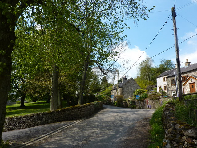
With a population of around 800 people, Bonsall has a tight-knit community that takes pride in its rich history and picturesque setting. The village dates back to at least the 12th century and is known for its well-preserved medieval street plan, which adds to its unique charm. The narrow streets are lined with traditional stone-built houses, some of which have been beautifully restored.
The village has a range of amenities, including a primary school, a post office, a convenience store, and a few pubs. Bonsall also hosts an annual well dressing event, a local tradition where wells are decorated with intricate floral displays. This event attracts visitors from near and far, adding to the village's vibrant atmosphere.
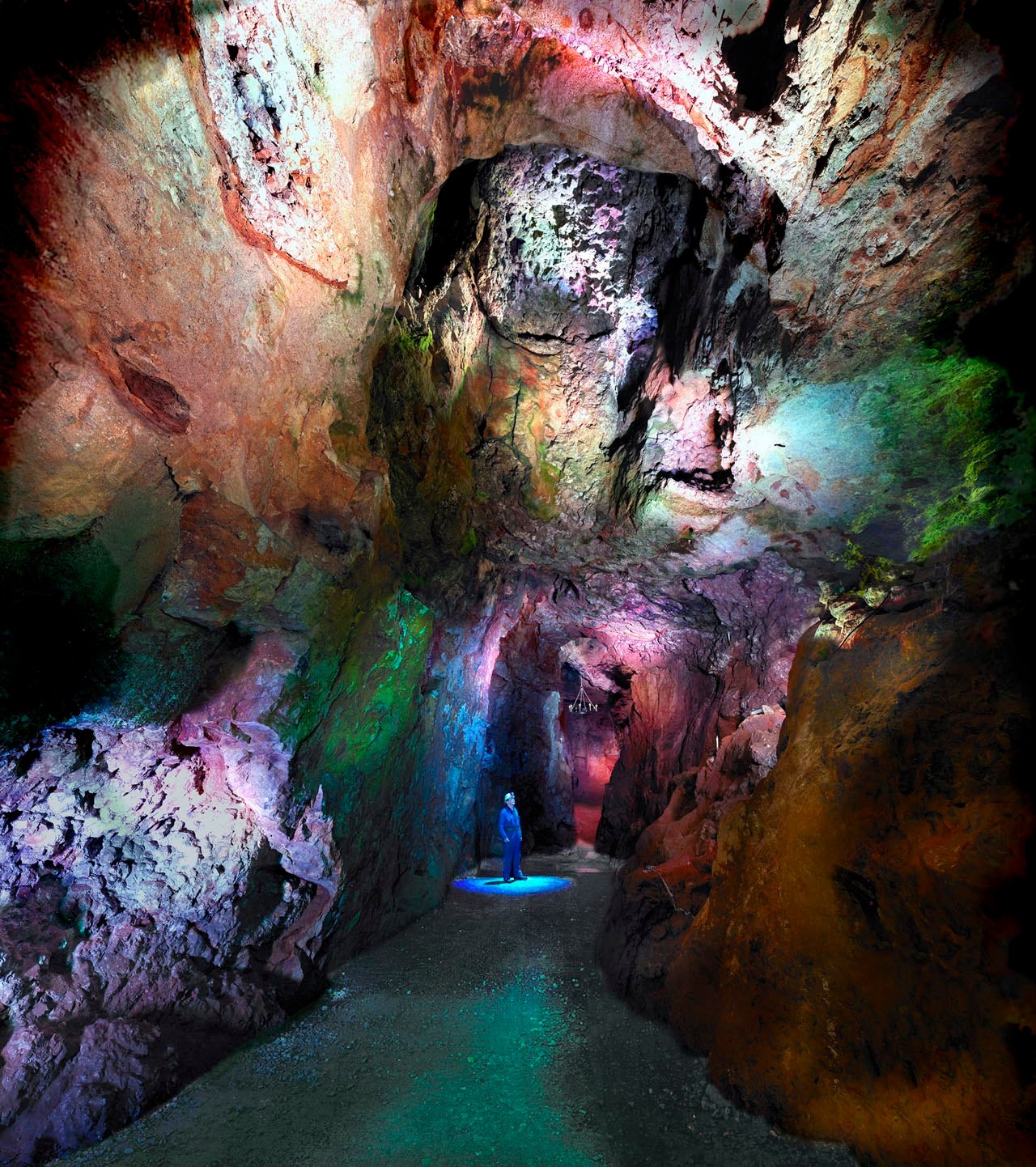
For outdoor enthusiasts, Bonsall offers plenty of opportunities to explore the surrounding countryside. The nearby Limestone Way, a long-distance footpath, passes through the village, providing access to stunning walks and hikes. Additionally, the area is popular for caving and rock climbing, with numerous limestone caves and crags in the vicinity.
Overall, Bonsall is a charming and idyllic village that offers a peaceful retreat in the heart of the Peak District National Park, making it a perfect destination for nature lovers and those seeking a relaxed countryside experience.
If you have any feedback on the listing, please let us know in the comments section below.
Bonsall Images
Images are sourced within 2km of 53.118503/-1.588399 or Grid Reference SK2758. Thanks to Geograph Open Source API. All images are credited.


Bonsall is located at Grid Ref: SK2758 (Lat: 53.118503, Lng: -1.588399)
Administrative County: Derbyshire
District: Derbyshire Dales
Police Authority: Derbyshire
What 3 Words
///calibrate.refuses.increased. Near Cromford, Derbyshire
Nearby Locations
Related Wikis
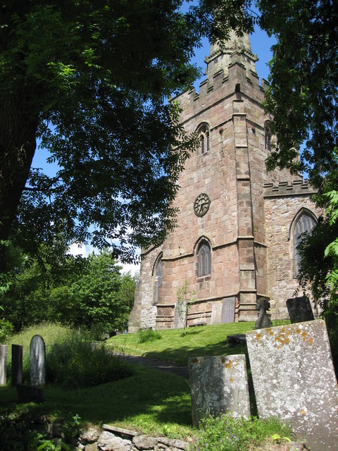
St James the Apostle's Church, Bonsall
St James the Apostle's Church, Bonsall is a Grade II* listed parish church in the Church of England: 101 in Bonsall, Derbyshire. == History == The church...

Bonsall, Derbyshire
Bonsall is a village and civil parish in the Derbyshire Dales on the edge of the Peak District. The civil parish population, including Brightgate and Horse...
Slaley, Derbyshire
Slaley is a hamlet in the civil parish of Bonsall, in the Derbyshire Dales district, in the county of Derbyshire, England. The hamlet is located to the...
Gulliver's Kingdom
Gulliver's Kingdom (also known as Gulliver's Matlock Bath) is a theme park aimed at children aged 3-13 in the Derbyshire town of Matlock Bath, England...

Heights of Abraham
The Heights of Abraham is a tourist attraction in Matlock Bath, Derbyshire, England. It consists of a hilltop park on top of Masson Hill, accessed from...

Peak District Lead Mining Museum
The Peak District Lead Mining Museum is located at Matlock Bath, Derbyshire, England. The museum has a mockup of a lead mine in which children may safely...

Great Rutland Cavern
Great Rutland Cavern is one of two caves at the Heights of Abraham, Matlock, Derbyshire, England. The other is Great Masson Cavern. Great Rutland Cavern...
Great Masson Cavern
Great Masson Cavern is one of two caves at the Heights of Abraham, Matlock Bath, Derbyshire, England. The other is Great Rutland Cavern. Great Masson...
Nearby Amenities
Located within 500m of 53.118503,-1.588399Have you been to Bonsall?
Leave your review of Bonsall below (or comments, questions and feedback).