Bonnyton Hill

Hill, Mountain in Angus

Scotland

Bonnyton Hill

Gightyburn Farm A small farm by Rossie near Montrose.
Gightyburn Farm Credit: Andrew Wood

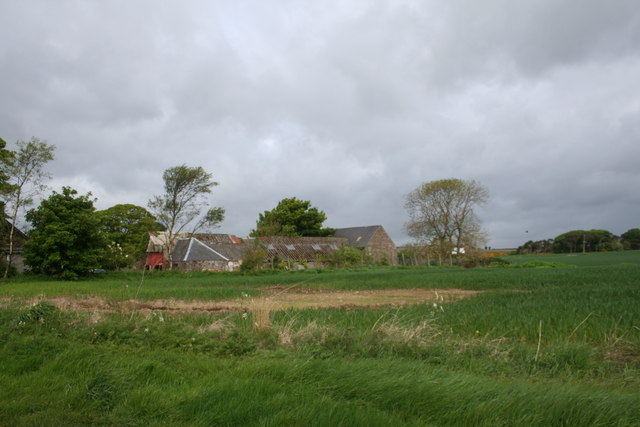
Bonnyton Hill is a prominent hill located in the county of Angus, Scotland. It is situated near the town of Forfar and lies within the southern end of the Grampian Mountains. Standing at an impressive height of approximately 429 meters (1,407 feet), it offers breathtaking panoramic views of the surrounding countryside.

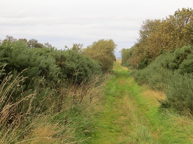
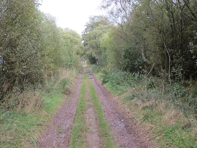
The hill is characterized by its gently sloping grassy slopes, which make it a popular destination for walkers and hikers of all abilities. The terrain is relatively easy to navigate, with well-defined paths leading to the summit. On a clear day, one can see as far as the Angus Glens, the River Tay, and the distant peaks of the Cairngorms National Park.

Bonnyton Hill is also known for its rich biodiversity. Its lower slopes are covered in heather, while the upper reaches are home to a variety of grasses and wildflowers. The hill supports a diverse range of wildlife, including birds such as buzzards, red grouse, and skylarks. It is not uncommon to spot rabbits, hares, and deer while exploring the area.

The hill has a long history, with evidence of ancient settlements and burial sites dating back thousands of years. It is believed to have been an important site for early inhabitants of the area due to its strategic location and commanding views.

Overall, Bonnyton Hill is a stunning natural landmark in Angus, offering both recreational opportunities and a glimpse into the region's past.

If you have any feedback on the listing, please let us know in the comments section below.

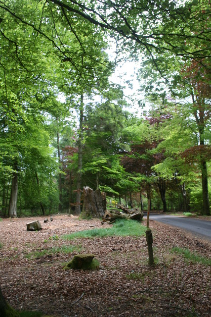
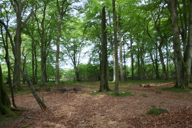
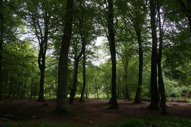
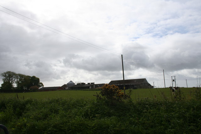
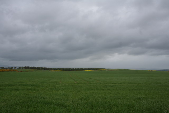
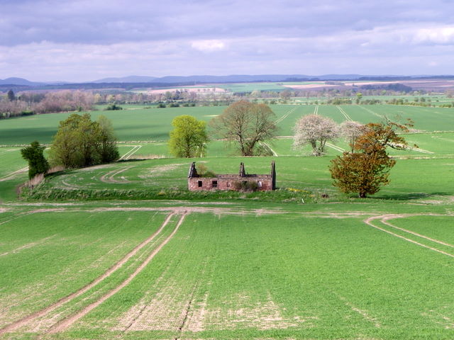
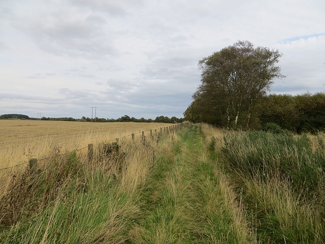
Bonnyton Hill Images

Images are sourced within 2km of 56.68835/-2.5451654 or Grid Reference NO6655. Thanks to Geograph Open Source API. All images are credited.

Gightyburn Farm A small farm by Rossie near Montrose.
Gightyburn Farm
A small farm by Rossie near Montrose.
Rossie Stump A tree stump in woodland at Rossie.
Rossie Stump
A tree stump in woodland at Rossie.
Rossie Wood Woodland near Rossie school.
Rossie Wood
Woodland near Rossie school.
Rossie Woodland Mature woodland at Rossie.
Rossie Woodland
Mature woodland at Rossie.
Westerton of Rossie A farm near Montrose.
Westerton of Rossie
A farm near Montrose.
Pitarris Fields Fields by Pitarris Hill looking across to Four Hundred Contour Wood.
Pitarris Fields
Fields by Pitarris Hill looking across to Four Hundred Contour Wood.
West Mains of Rossie The tree lined avenue leading to the West Mains of Rossie.
West Mains of Rossie
The tree lined avenue leading to the West Mains of Rossie.
West Mains Fields Fields by the West Mains of Rossie with Montrose Basin visible behind.
West Mains Fields
Fields by the West Mains of Rossie with Montrose Basin visible behind.
Tree-lined Road The tree-lined unclassified road from Rossie.
Tree-lined Road
The tree-lined unclassified road from Rossie.
Ruin near Bonnyton According to the map, in times past a castle stood on this site, but all that remains now is the ruins of a more modern cottage.
Ruin near Bonnyton
According to the map, in times past a castle stood on this site, but all that remains now is the ruins of a more modern cottage.
Track, Rossie Moor The eastern end is a bit more defined than the western end of the path. The route is unobstructed at the moment, and you can get through on horseback. However the whins and broom mean business, and the path needs more traffic to keep it open.
Track, Rossie Moor
The eastern end is a bit more defined than the western end of the path. The route is unobstructed at the moment, and you can get through on horseback. However the whins and broom mean business, and the path needs more traffic to keep it open.
Track on Rossie Moor Bonnyton to Rossie track.
Track on Rossie Moor
Bonnyton to Rossie track.
Track, Rossie The road continues to Pamphry or Bonnyton from the public road end at Rossie.
Track, Rossie
The road continues to Pamphry or Bonnyton from the public road end at Rossie.
Woodland, Rossie There are mature beeches here, mixed in with conifers.
Woodland, Rossie
There are mature beeches here, mixed in with conifers.
Westerton of Rossie Looking towards the end of the public (yellow) road from the eastern end of a track/path over Rossie Moor. While threatened by rampant vegetation in places, the path is still easy to use.
Westerton of Rossie
Looking towards the end of the public (yellow) road from the eastern end of a track/path over Rossie Moor. While threatened by rampant vegetation in places, the path is still easy to use.
New house, Westerton of Rossie
Arable land, Rossie The trees surround a pond.
Arable land, Rossie
The trees surround a pond.
Long straight road A windy hill top at Rossie.
Long straight road
A windy hill top at Rossie.
Show me another place!

Bonnyton Hill is located at Grid Ref: NO6655 (Lat: 56.68835, Lng: -2.5451654)

Unitary Authority: Angus

Police Authority: Tayside

What 3 Words

///mend.club.disclose. Near Montrose, Angus

Related Wikis

Old Montrose

Old Montrose is an estate in Montrose, Angus, Scotland. The lands and house of Old Montrose were given to David de Graham of Kincardine, in exchange for...

Arbikie distillery

Arbikie distillery is a scotch whisky, vodka and gin distillery in Inverkeilor, Angus, Scotland. == History == The distillery was built in 2013 on the...

Bridge of Dun

Bridge of Dun is a village in Angus, Scotland, located north of the River South Esk and south of the A935 road from Brechin to Montrose. == History... ==

Bridge of Dun railway station

Bridge of Dun is a privately owned station in Angus. The adjacent platforms and line are independently operated as a preserved railway by the Caledonian...

Nearby Amenities

Located within 500m of 56.68835,-2.5451654
Holemill
Place: locality
Lat/Long: 56.6876682/-2.5392796
Denhead of Fullerton
Place: locality
Lat/Long: 56.6888495/-2.5392427
Bonnyton Hill
Ele: 129
Natural: peak
Lat/Long: 56.6865397/-2.5506045
Power: pole
Lat/Long: 56.6846528/-2.5445431
Power: pole
Lat/Long: 56.6851535/-2.5439259
Power: pole
Lat/Long: 56.6858362/-2.5430055
Power: pole
Lat/Long: 56.6862894/-2.5412471
Power: pole
Lat/Long: 56.6867889/-2.5391986
Power: pole
Lat/Long: 56.6872385/-2.5374034
The data included in this document is from www.openstreetmap.org. The data is made available under ODbL.

Have you been to Bonnyton Hill?

Leave your review of Bonnyton Hill below (or comments, questions and feedback).