Bonnykelly
Settlement in Aberdeenshire
Scotland
Bonnykelly

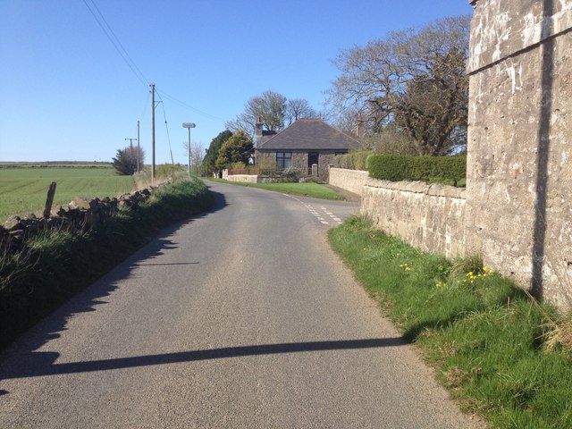
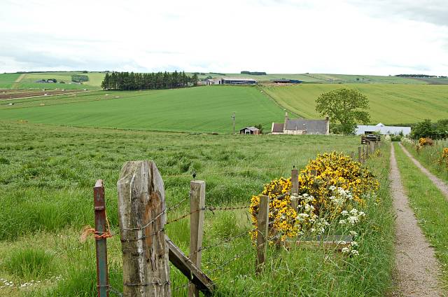
Bonnykelly is a small village located in Aberdeenshire, Scotland. Situated in the northeast of the country, it lies approximately 5 miles northwest of the town of Turriff. The village is primarily rural, surrounded by picturesque countryside and farmland, with the River Deveron running close by.
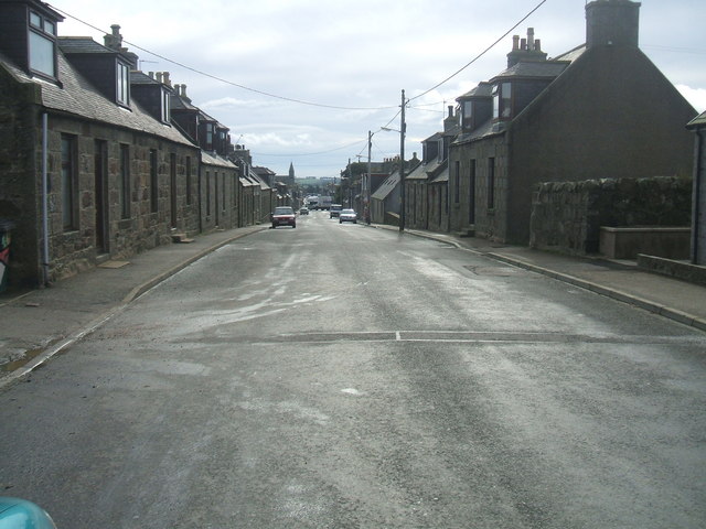
Bonnykelly is home to a close-knit community, with a population of around 200 residents. The village boasts a charming character, with traditional stone-built houses dotting the landscape. It offers a peaceful and idyllic setting, making it an attractive place for those seeking a tranquil countryside retreat.
Despite its small size, Bonnykelly has a strong sense of community spirit. The village has a local hall, which serves as a hub for various social events and gatherings. It provides a venue for activities such as dance classes, community meetings, and celebrations.
The surrounding area of Bonnykelly offers ample opportunities for outdoor activities and exploration. The nearby River Deveron is renowned for its excellent fishing, attracting anglers from far and wide. The countryside is also a haven for nature lovers, with beautiful walking trails and scenic spots to enjoy the local flora and fauna.
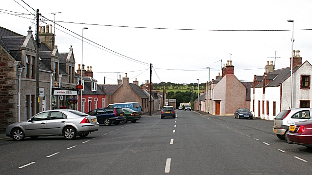
For amenities and services, residents of Bonnykelly can easily access the nearby town of Turriff, where they can find a range of shops, schools, healthcare facilities, and recreational opportunities. Additionally, the village benefits from good transport links, with regular bus services connecting it to the wider region.
In summary, Bonnykelly is a charming, rural village nestled in the Aberdeenshire countryside. Its close-knit community, beautiful surroundings, and access to nearby amenities make it an appealing place to live for those seeking a tranquil and picturesque Scottish village lifestyle.
If you have any feedback on the listing, please let us know in the comments section below.
Bonnykelly Images
Images are sourced within 2km of 57.574008/-2.234021 or Grid Reference NJ8653. Thanks to Geograph Open Source API. All images are credited.


Bonnykelly is located at Grid Ref: NJ8653 (Lat: 57.574008, Lng: -2.234021)
Unitary Authority: Aberdeenshire
Police Authority: North East
What 3 Words
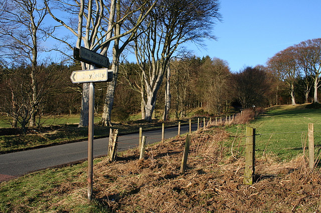
///competing.shack.best. Near New Pitsligo, Aberdeenshire
Nearby Locations
Related Wikis
Bonnykelly
Bonnykelly is a rural area to the west of the village of New Pitsligo in Aberdeenshire, Scotland. == References ==

New Pitsligo
New Pitsligo (Scots: Pitsligae), also known as Cavoch (locally Cyaak), is a village in Aberdeenshire, Scotland, quite near Fraserburgh. == Overview... ==

New Byth
New Byth is a small inland planned village in the Banff and Buchan committee area of Aberdeenshire, Scotland, that lies a few miles northeast of Cuminestown...

Willows Animal Sanctuary
Willows Animal Sanctuary is an animal sanctuary in Fraserburgh, Aberdeenshire, Scotland. == History == Willows Animal Sanctuary was founded, on a 54-acre...

Garmond, Aberdeenshire
Garmond (Scottish Gaelic: Garbh Mhon(adh)) is a linear village in Monquhitter Parish which is located in Aberdeenshire, Scotland. It was founded c.1760...
Brucklay Castle
Brucklay Castle, also known as Brucklay House, is a 16th-century castle in the Buchan area of Aberdeenshire, Scotland. The earliest part of the castle...
Cuminestown
Cuminestown is a village in the Formartine area of Aberdeenshire, Scotland, and sits at the centre of the parish of Monquhitter. It is approximately 6...
New Deer
New Deer (Scottish Gaelic: Achadh Reite) is a settlement in Aberdeenshire, North East Scotland, which lies in the valley of Deer. It is located at the...
Nearby Amenities
Located within 500m of 57.574008,-2.234021Have you been to Bonnykelly?
Leave your review of Bonnykelly below (or comments, questions and feedback).