Broomieknowe
Settlement in Midlothian
Scotland
Broomieknowe

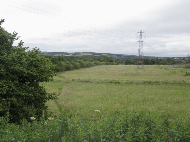
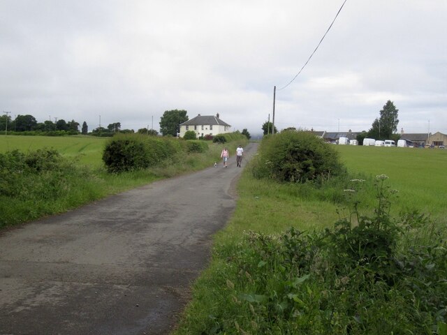
Broomieknowe is a small village located in Midlothian, Scotland. Situated approximately 8 miles southeast of the capital city of Edinburgh, it is nestled on the eastern slopes of the Pentland Hills. The village is known for its picturesque surroundings, offering residents and visitors stunning views of the surrounding countryside.
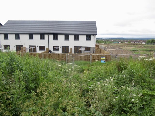
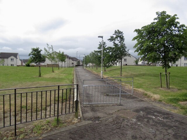
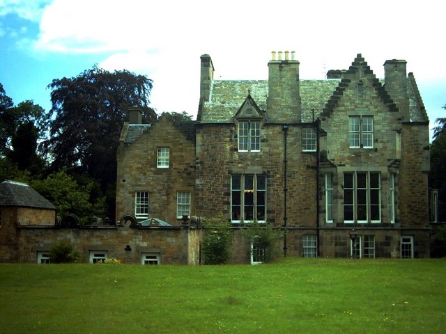
Broomieknowe is primarily a residential area, characterized by a mix of traditional stone-built houses and modern developments. The village retains its rural charm, with tree-lined streets and well-maintained gardens. The community is tight-knit, with a friendly and welcoming atmosphere.
One of the notable features of Broomieknowe is the Broomieknowe Golf Club, which has been a prominent attraction since its establishment in 1905. The club boasts an 18-hole course, which challenges both amateur and professional golfers alike. The course is well-regarded for its beautiful landscape and well-maintained fairways.
For those who enjoy outdoor activities, Broomieknowe offers easy access to the Pentland Hills Regional Park. This expansive natural area provides numerous opportunities for hiking, cycling, and wildlife spotting. The park features a variety of walking trails, including the popular Broomieknowe Golf Course Walk, which offers panoramic views of the surrounding countryside.
In terms of amenities, Broomieknowe has a local convenience store for everyday essentials. Residents also benefit from easy access to nearby shopping centers and supermarkets in neighboring towns.
Overall, Broomieknowe is a charming village that offers a peaceful and scenic setting, making it an ideal place for those seeking a tranquil lifestyle within close proximity to both nature and the vibrant city of Edinburgh.
If you have any feedback on the listing, please let us know in the comments section below.
Broomieknowe Images
Images are sourced within 2km of 55.879701/-3.108907 or Grid Reference NT3065. Thanks to Geograph Open Source API. All images are credited.


Broomieknowe is located at Grid Ref: NT3065 (Lat: 55.879701, Lng: -3.108907)
Unitary Authority: Midlothian
Police Authority: The Lothians and Scottish Borders
What 3 Words
///email.family.blocks. Near Bonnyrigg, Midlothian
Nearby Locations
Related Wikis
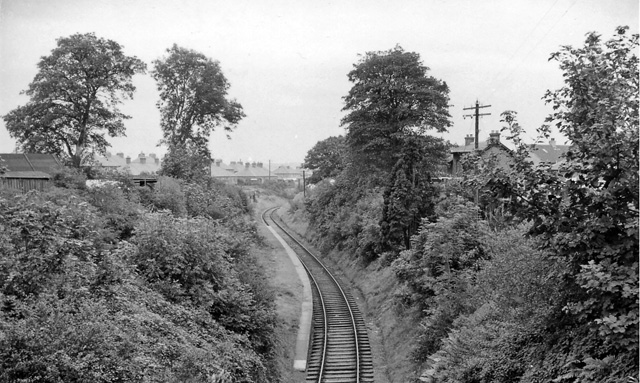
Broomieknowe railway station
Broomieknowe railway station served the town of Bonnyrigg, Midlothian, Scotland from 1867 to 1951 on the Esk Valley Railway. == History == The station...

Lasswade and Rosewell Parish Church
Lasswade and Rosewell Parish Church serves the communities of Lasswade, Poltonhall and Rosewell, Midlothian, Scotland. It is a congregation of the Church...
Lasswade railway station
Lasswade railway station served the village of Lasswade, Midlothian, Scotland from 1868 to 1964 on the Esk Valley Railway. == History == The station opened...
Lasswade
Lasswade is a village and civil parish in Midlothian, Scotland, on the River North Esk, nine miles (14.5 kilometres) south of Edinburgh city centre, contiguous...
Nearby Amenities
Located within 500m of 55.879701,-3.108907Have you been to Broomieknowe?
Leave your review of Broomieknowe below (or comments, questions and feedback).