Broomlands

Settlement in Ayrshire

Scotland

Broomlands

Glasgow Vennel, Irvine, North Ayrshire Once part of the main road from Irvine Harbour to Glasgow, goods were transported by carts or wagons along the narrow cobbled street which avoided the toll on Irvine Bridge.
Glasgow Vennel, Irvine, North Ayrshire Credit: Mark S

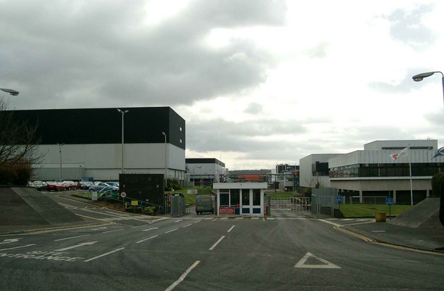
Broomlands is a small residential area located in the county of Ayrshire, Scotland. Situated on the outskirts of the town of Irvine, Broomlands is a peaceful and close-knit community, offering a mix of housing options to its residents.

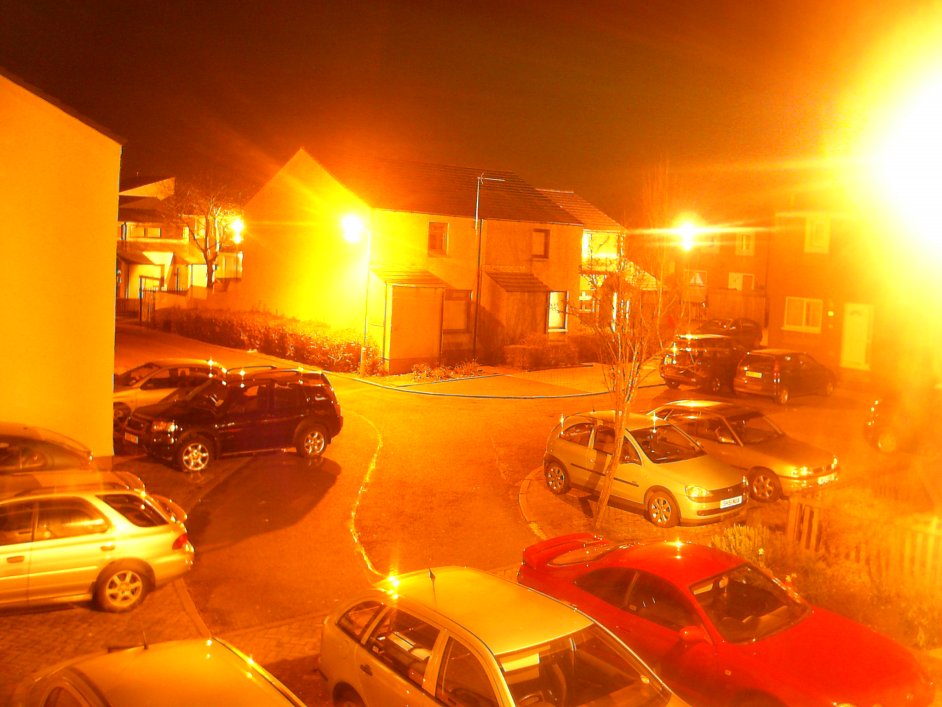
The area is known for its attractive and well-maintained suburban streets, lined with rows of semi-detached and detached houses. Broomlands provides a range of housing choices to suit various budgets and family sizes, making it an appealing destination for both first-time buyers and those looking to settle down in a quiet residential area.

Broomlands benefits from its close proximity to Irvine town center, which is only a short distance away. Residents have easy access to a variety of amenities, including shops, supermarkets, restaurants, and recreational facilities. The area is also well-served by public transportation, with regular bus services connecting Broomlands to nearby towns and cities.

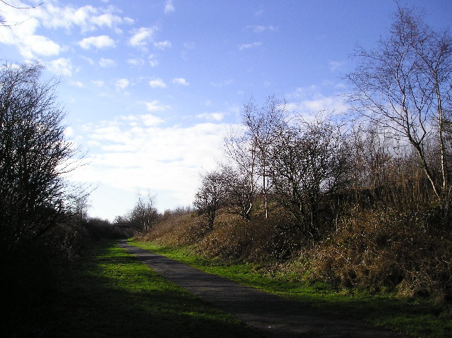
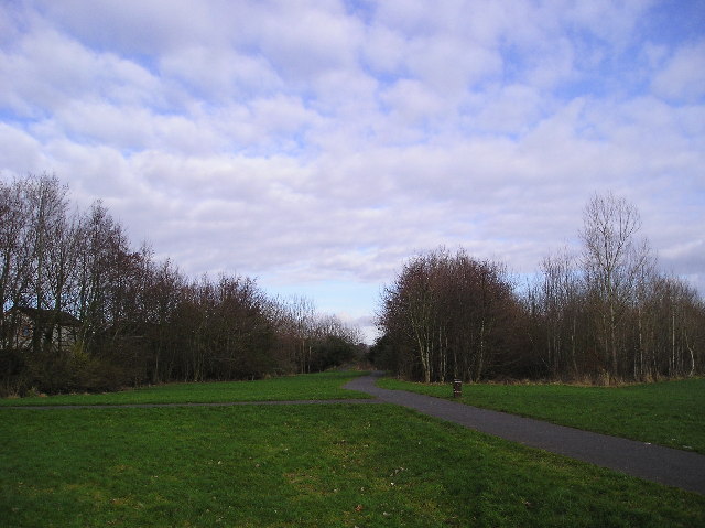
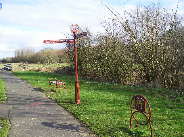
For families with children, Broomlands offers several educational options, including both primary and secondary schools within the vicinity. The area is also surrounded by green spaces, providing residents with opportunities for outdoor activities and leisurely walks.

Overall, Broomlands is a desirable residential area that offers a peaceful and family-friendly environment, with convenient access to essential amenities and transport links. Its well-maintained streets and range of housing options make it an attractive destination for individuals and families looking to settle down in a welcoming and close-knit community.

If you have any feedback on the listing, please let us know in the comments section below.

Broomlands Images

Images are sourced within 2km of 55.60721/-4.6367862 or Grid Reference NS3438. Thanks to Geograph Open Source API. All images are credited.

Glasgow Vennel, Irvine, North Ayrshire Once part of the main road from Irvine Harbour to Glasgow, goods were transported by carts or wagons along the narrow cobbled street which avoided the toll on Irvine Bridge.
Glasgow Vennel, Irvine, North Ayrshire
Once part of the main road from Irvine Harbour to Glasgow, goods were transported by carts or wagons along the narrow cobbled street which avoided the toll on Irvine Bridge.
Glasgow Vennel, Irvine, North Ayrshire The plaque on the building on the left reads: ‘Robert Burns lodged here 1781-1782. Irvine Burns Club, 25th January, 1926’.
The Bard arrived in Irvine in 1781 to become a flax dresser, working long hours in the Heckling Shop.
Glasgow Vennel, Irvine, North Ayrshire
The plaque on the building on the left reads: ‘Robert Burns lodged here 1781-1782. Irvine Burns Club, 25th January, 1926’. The Bard arrived in Irvine in 1781 to become a flax dresser, working long hours in the Heckling Shop.
The Heckling Shop, Glasgow Vennel, Irvine, North Ayrshire The only remaining thatched building in Irvine. Category A-listed, built sometime around the mid 18th century.
Robert Burns worked here as a flax dresser between 1781 and 1782.
The Heckling Shop, Glasgow Vennel, Irvine, North Ayrshire
The only remaining thatched building in Irvine. Category A-listed, built sometime around the mid 18th century. Robert Burns worked here as a flax dresser between 1781 and 1782.
Glasgow Vennel, Irvine, North Ayrshire Buildings on Glasgow Vennel.
Glasgow Vennel, Irvine, North Ayrshire
Buildings on Glasgow Vennel.
The Porthead Tavern, Irvine, North Ayrshire Located on High Street.
The Porthead Tavern, Irvine, North Ayrshire
Located on High Street.
Irvine Baptist Church
Bend in the River Annick water, picture taken from the footbridge.
Bend in the River
Annick water, picture taken from the footbridge.
Urban Landscaping  Irvine Bourtreehill, on the route of Irvine Town Trail.
Urban Landscaping
Irvine Bourtreehill, on the route of Irvine Town Trail.
Old Rail Line  Irvine New Town Trail, at this point following an old rail line. This is also part of National Cycle route No. 73.
Old Rail Line
Irvine New Town Trail, at this point following an old rail line. This is also part of National Cycle route No. 73.
Riverside Area of native trees and grassland on the banks of the Annick Water in Irvine New Town.
Riverside
Area of native trees and grassland on the banks of the Annick Water in Irvine New Town.
High Rise Tower Blocks on the banks of the River Irvine in Irvine Town Centre.
High Rise
Tower Blocks on the banks of the River Irvine in Irvine Town Centre.
Irvine New Town Trail  The Irvine New Town Trail is a 12 mile circular walk, in part following national cycle routes, that links the town of Irvine with Kilwinning and Eglinton Country Park.
Irvine New Town Trail
The Irvine New Town Trail is a 12 mile circular walk, in part following national cycle routes, that links the town of Irvine with Kilwinning and Eglinton Country Park.
Ivy Clad Tree  Tree at the side of the Irvine New Town Trail.
Ivy Clad Tree
Tree at the side of the Irvine New Town Trail.
Signpost  Signpost, Waymarker and Bench on the Irvine New Town Trail which at this point joins National Cycle Route No. 73. In the background is a footbridge over the Lugton Water.
Signpost
Signpost, Waymarker and Bench on the Irvine New Town Trail which at this point joins National Cycle Route No. 73. In the background is a footbridge over the Lugton Water.
Old Rail Bridge  Bridge over the course of the old LM&S railway which is now part of the Irvine New Town Trail, and National Cycle route No. 73
Old Rail Bridge
Bridge over the course of the old LM&S railway which is now part of the Irvine New Town Trail, and National Cycle route No. 73
Riverbank The Annick Water photographed from the Irvine New Town Trail.
Riverbank
The Annick Water photographed from the Irvine New Town Trail.
Flooded sand quarry at Meadowhead This is the largest, and one of the few remaining, of Irvine's flooded sand quarries.  The others have been filled in with domestic and industrial waste. It is important for birds.
Flooded sand quarry at Meadowhead
This is the largest, and one of the few remaining, of Irvine's flooded sand quarries. The others have been filled in with domestic and industrial waste. It is important for birds.
Entrance to GlaxoSmithKline pharmaceutical plant
Show me another place!

Broomlands is located at Grid Ref: NS3438 (Lat: 55.60721, Lng: -4.6367862)

Unitary Authority: North Ayrshire

Police Authority: Ayrshire

What 3 Words

///tens.assure.rents. Near Dreghorn, North Ayrshire

Nearby Locations

Broomlands

Related Wikis

Greenwood Academy, Dreghorn

Greenwood Academy is an 11–18 state secondary school in Dreghorn, North Ayrshire, Scotland. == History == The school opened in August 1972, serving the...

Lands of Broomlands

The lands of Broomlands or Broumlands formed a small country estate about a mile to the east of Irvine, North Ayrshire, Scotland situated on the east bank...

Broomlands

Broomlands is district of Irvine in North Ayrshire, Scotland. Situated on a series of bends in the River Annick, Broomlands and its original features are...

Bourtreehill

Bourtreehill is a large housing estate built by the Irvine Development Corporation (IDC) in the late 1970s which forms part of the Irvine New Town in North...

Nearby Amenities

Located within 500m of 55.60721,-4.6367862
Motorway Junction
Greenwood Interchange
Lat/Long: 55.6068245/-4.6412312
Fuel
BP
Brand: BP
Brand Wikidata: Q152057
Brand Wikipedia: en:BP
Operator: Motor Fuel Group
Operator Website: https://www.motorfuelgroup.com/locations/annick-fs1023/
Operator Wikidata: Q107271358
Website: https://map.bp.com/en-GB/GB/petrol-station/dreghorn/annick-sstn-fs1023/17848
Lat/Long: 55.6088463/-4.6384319
Fire Station
Lat/Long: 55.6074904/-4.6349621
Atm
Lat/Long: 55.6087281/-4.6384373
Car Wash
BP car wash
Lat/Long: 55.6085705/-4.6379545
Bus Stop
Lat/Long: 55.6069439/-4.6317541
Crossing
Lat/Long: 55.6049121/-4.6368932
The data included in this document is from www.openstreetmap.org. The data is made available under ODbL.

Have you been to Broomlands?

Leave your review of Broomlands below (or comments, questions and feedback).