Dobbie's Knowle
Settlement in Midlothian
Scotland
Dobbie's Knowle
Dobbie's Knowle is a small rural village situated in the county of Midlothian, Scotland. Nestled within the picturesque countryside, it is located approximately 10 miles south of Edinburgh, the capital city. The village is characterized by its tranquil and idyllic setting, offering residents and visitors a peaceful escape from the bustling city life.
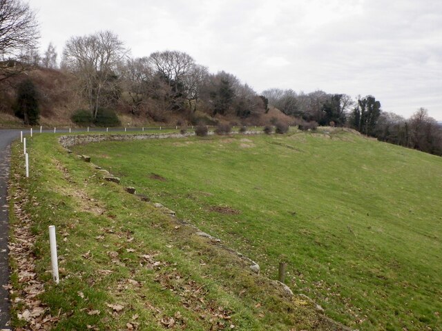
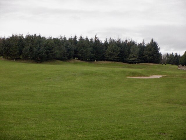
Dobbie's Knowle is renowned for its stunning natural beauty, with rolling hills, lush green meadows, and charming country lanes. The village is surrounded by vast farmland, which contributes to its agricultural heritage. The area is known for its fertile soil, making it ideal for farming and horticulture.
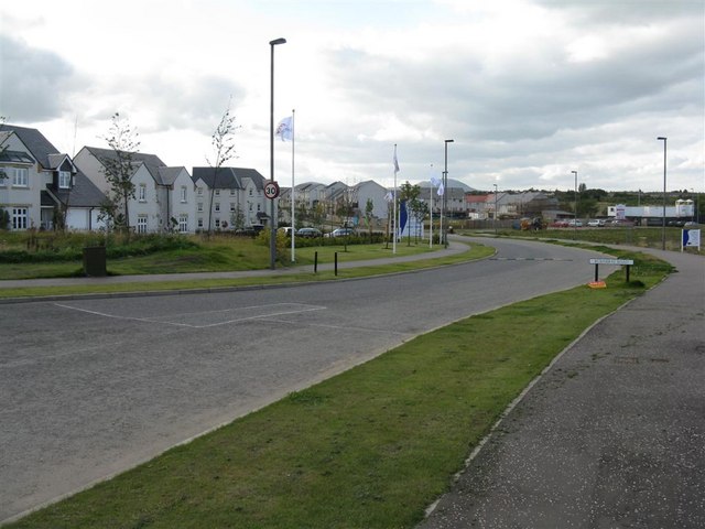
In terms of amenities, Dobbie's Knowle boasts a close-knit community that takes pride in its local offerings. The village has a well-maintained primary school, providing education to the younger population. Additionally, there is a quaint village hall where various community events and gatherings take place throughout the year.
Residents of Dobbie's Knowle enjoy a range of outdoor activities, including hiking, cycling, and horseback riding. The village is blessed with numerous walking trails that offer breathtaking views of the surrounding landscape. It is also home to a number of historical landmarks, such as the picturesque Dobbie's Knowle Castle, which dates back to the 16th century.
Overall, Dobbie's Knowle presents a charming and peaceful place to live, with its natural beauty, strong sense of community, and close proximity to both the countryside and Edinburgh.
If you have any feedback on the listing, please let us know in the comments section below.
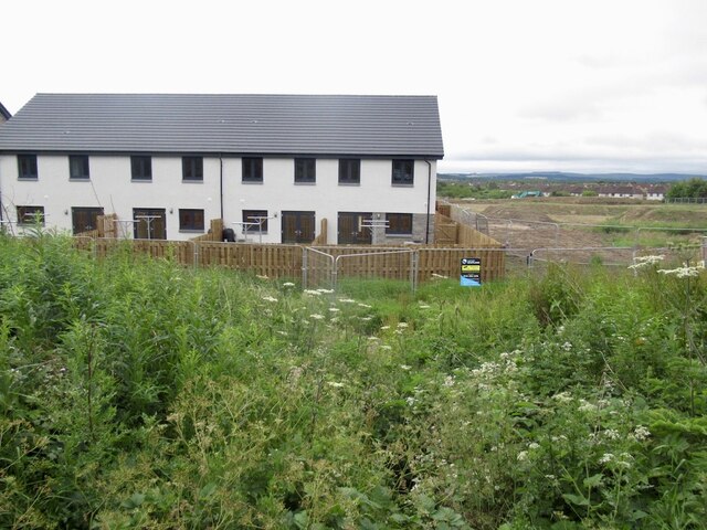
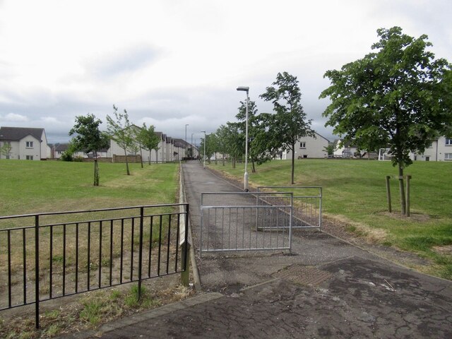
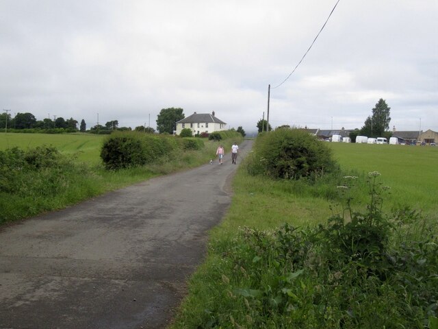
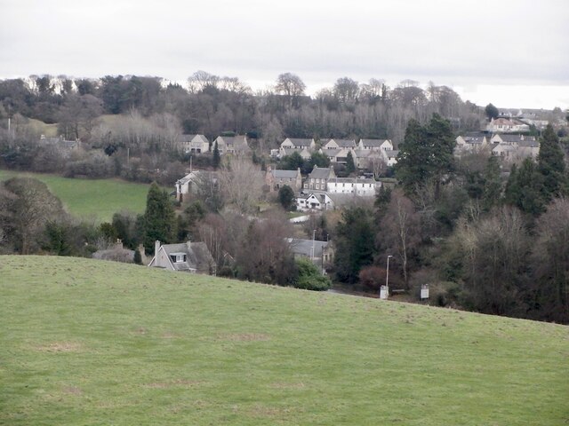
Dobbie's Knowle Images
Images are sourced within 2km of 55.873058/-3.1202758 or Grid Reference NT3065. Thanks to Geograph Open Source API. All images are credited.


Dobbie's Knowle is located at Grid Ref: NT3065 (Lat: 55.873058, Lng: -3.1202758)
Unitary Authority: Midlothian
Police Authority: The Lothians and Scottish Borders
What 3 Words
///grants.relishes.cracks. Near Bonnyrigg, Midlothian
Nearby Locations
Related Wikis

Lasswade High School Centre
Lasswade High School is a non-denominational secondary state school in Bonnyrigg, Midlothian, Scotland. == History == A parish school was first established...
Lasswade railway station
Lasswade railway station served the village of Lasswade, Midlothian, Scotland from 1868 to 1964 on the Esk Valley Railway. == History == The station opened...
Hopefield, Bonnyrigg
Hopefield is an area in the south of Bonnyrigg, Midlothian, occupied by a mid-20th century residential neighbourhood and by an early-21st century, ongoing...
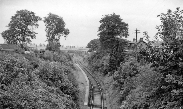
Broomieknowe railway station
Broomieknowe railway station served the town of Bonnyrigg, Midlothian, Scotland from 1867 to 1951 on the Esk Valley Railway. == History == The station...
Nearby Amenities
Located within 500m of 55.873058,-3.1202758Have you been to Dobbie's Knowle?
Leave your review of Dobbie's Knowle below (or comments, questions and feedback).