Agglethorpe
Settlement in Yorkshire Richmondshire
England
Agglethorpe

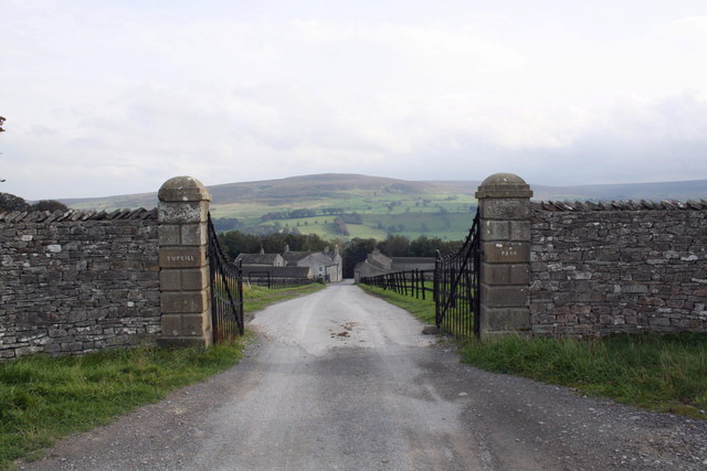
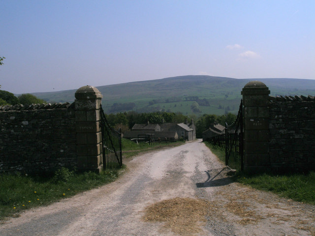
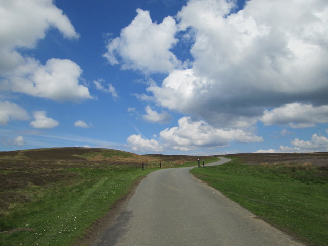
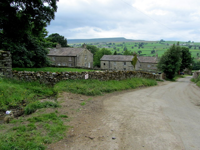
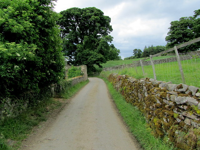
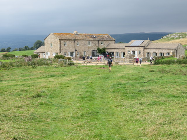
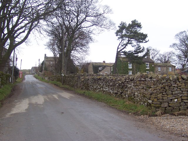
Agglethorpe is a charming village located in the county of Yorkshire, England. Situated in the beautiful Yorkshire Dales, this rural settlement is surrounded by picturesque rolling hills and lush green countryside. With a population of around 200 residents, Agglethorpe exudes a tranquil and idyllic atmosphere.
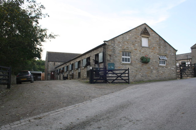
The village is known for its quaint stone houses and traditional architecture, which adds to its timeless appeal. The village center is dominated by a historic church, St. Mary's, which dates back to the 12th century. This architectural gem is a popular destination for history enthusiasts and visitors seeking a glimpse into Agglethorpe's rich past.
Despite its small size, Agglethorpe boasts a strong sense of community. Locals often gather at the village pub, The Black Swan, to socialize and enjoy a pint of Yorkshire's finest ale. The pub also serves as a hub for various community events and celebrations throughout the year.
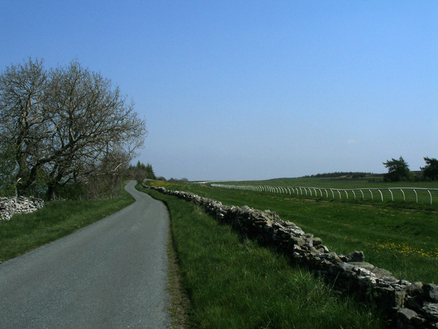
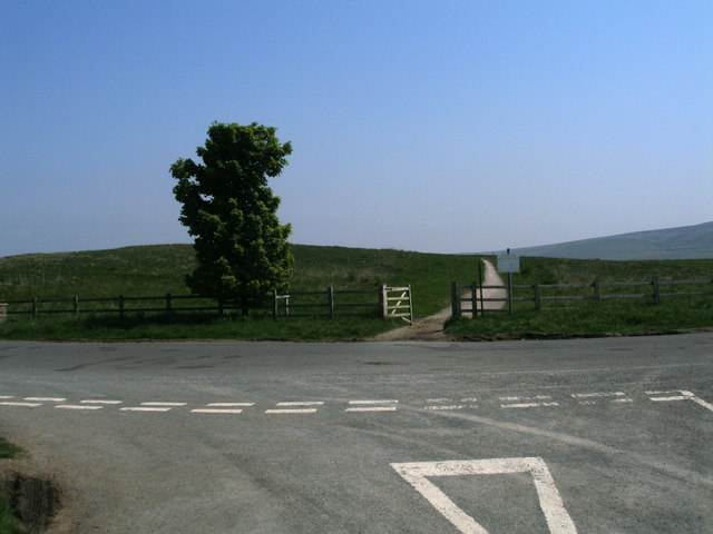
For outdoor enthusiasts, Agglethorpe offers ample opportunities for exploration. The village is surrounded by scenic walking trails that wind through the stunning Yorkshire Dales National Park. From leisurely strolls to challenging hikes, nature lovers can immerse themselves in the beauty of the surrounding landscape.
Overall, Agglethorpe is a picturesque village that offers a peaceful retreat from the hustle and bustle of modern life. Visitors can expect warm hospitality, breathtaking scenery, and a chance to experience the true essence of rural Yorkshire.
If you have any feedback on the listing, please let us know in the comments section below.
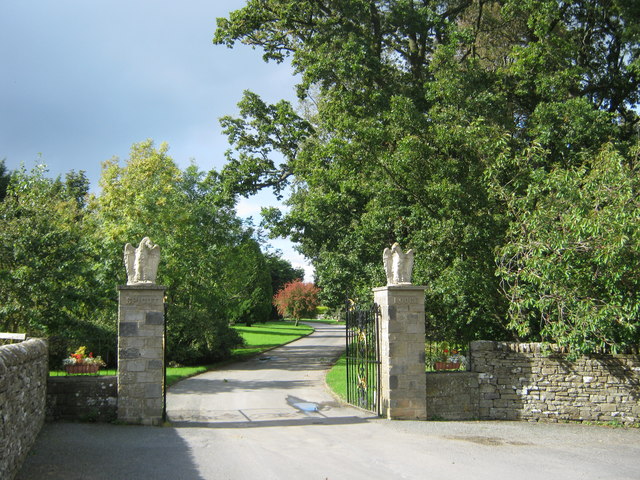
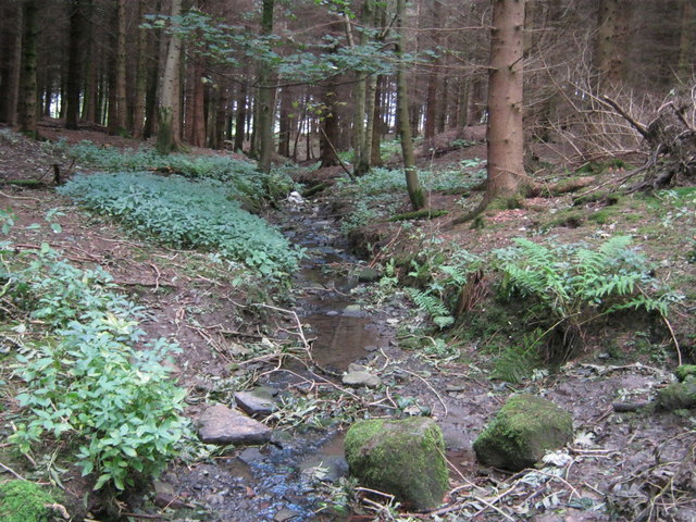
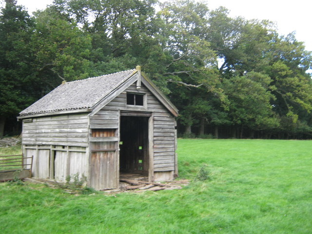
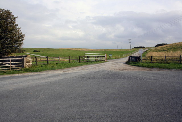
Agglethorpe Images
Images are sourced within 2km of 54.273787/-1.867839 or Grid Reference SE0886. Thanks to Geograph Open Source API. All images are credited.


Agglethorpe is located at Grid Ref: SE0886 (Lat: 54.273787, Lng: -1.867839)
Division: North Riding
Administrative County: North Yorkshire
District: Richmondshire
Police Authority: North Yorkshire
What 3 Words
///celebrate.primary.healthier. Near Leyburn, North Yorkshire
Nearby Locations
Related Wikis

Agglethorpe
Agglethorpe is a hamlet in the Richmondshire district of North Yorkshire, England, it lies in northern Coverdale, approximately 4 miles (6.4 km) south...

Coverham with Agglethorpe
Coverham with Agglethorpe is a civil parish in North Yorkshire, England. It includes the villages of Coverham and Agglethorpe. The population of the civil...

Forbidden Corner
The Forbidden Corner is a folly garden located in the Tupgill Park Estate, at Coverham in Coverdale, in the Yorkshire Dales National Park. It is open to...

Caldbergh with East Scrafton
Caldbergh with East Scrafton is a civil parish in the Richmondshire district of North Yorkshire, England. The parish includes the settlements of Caldbergh...

Caldbergh
Caldbergh (Caldeber in the Domesday Book) is a hamlet within the Yorkshire Dales, North Yorkshire, England. It lies about four miles south of Leyburn....
Melmerby in Coverdale
Melmerby is a village and civil parish in North Yorkshire, England. It lies in Coverdale in the Yorkshire Dales about 3 miles (4.8 km) south-west of Leyburn...

Holy Trinity Church, Coverham
Holy Trinity Church is a redundant Anglican church in the village of Coverham, North Yorkshire, England. It is recorded in the National Heritage List...
The Mount, North Yorkshire
The Mount, or Polly Peachum's Tower, is a hunting tower near Wensley and about a mile south-east of Bolton Hall, in North Yorkshire, England. It is a Grade...
Related Videos

Forbidden Corner July 2020!
We pop to the Forbidden corner for a look round!

Forbidden Corner - Halloween 2022
Part of a hectic day out to Country Harvest then White Scar Caves then Forbidden Corner. Great place this!

Forbidden Corner 4k
I visit Forbidden Corner in Leyburn. The Forbidden Corner is a unique labyrinth of tunnels, chambers, follies and surprises created ...

The Forbidden Corner! | Vlog
theforbiddencorner #leyburn Join Tom and Stace as we spend a rainy afternoon at The Forbidden Corner! This unique tourist ...
Nearby Amenities
Located within 500m of 54.273787,-1.867839Have you been to Agglethorpe?
Leave your review of Agglethorpe below (or comments, questions and feedback).