Aggborough
Settlement in Worcestershire Wyre Forest
England
Aggborough
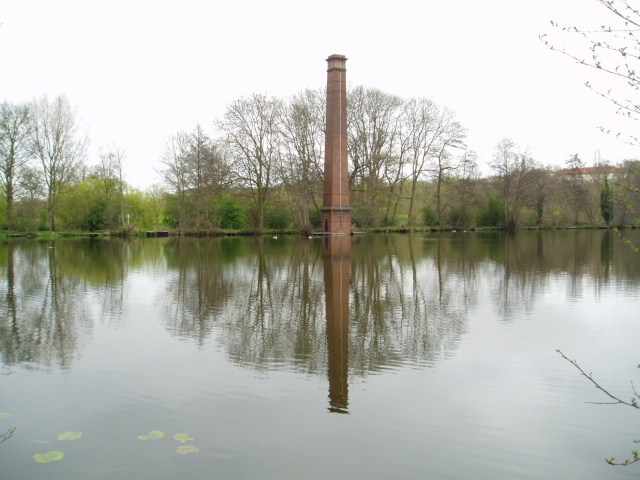
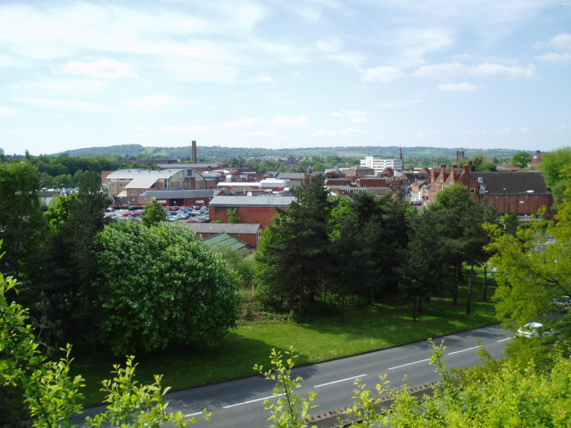
Aggborough is a small village located in Worcestershire, England. It is situated approximately 2 miles south of Kidderminster, and is known for its picturesque countryside and historic charm. The village is nestled in the Severn Valley, offering breathtaking views of rolling hills and lush green fields.
Aggborough is home to several notable landmarks and attractions. One of the most prominent is Aggborough Stadium, which is the home ground of Kidderminster Harriers Football Club. The stadium has a seating capacity of over 6,000 and hosts various football matches throughout the year.
The village itself has a close-knit community, with a population of around 1,500 residents. It offers a peaceful and tranquil environment, making it an ideal place for families and those seeking a slower pace of life. There are a number of amenities available, including a local primary school, village hall, and a few small shops.
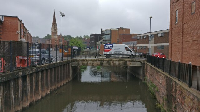
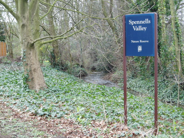
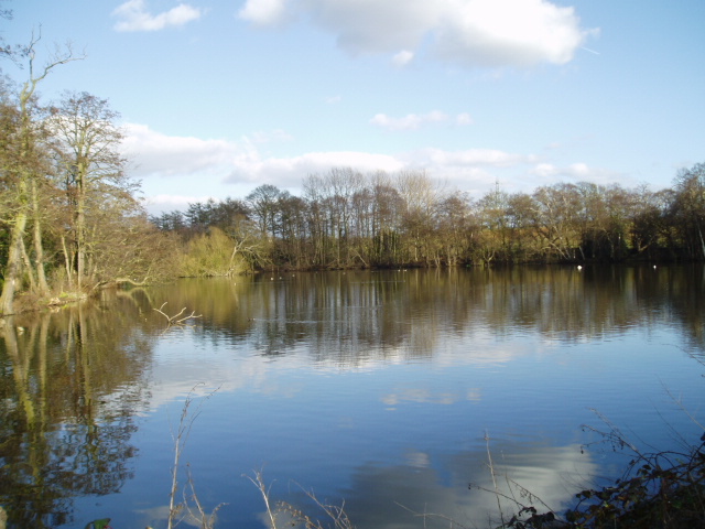
For those who enjoy exploring the outdoors, Aggborough offers plenty of opportunities for walking and cycling. The nearby Wyre Forest is a popular destination, with its ancient woodlands and diverse wildlife. Additionally, the village is conveniently located near the River Severn, providing opportunities for fishing and boating.
Overall, Aggborough is a charming village that combines natural beauty with a strong sense of community. Its idyllic countryside setting and range of amenities make it an attractive place to live or visit for those looking to escape the hustle and bustle of city life.
If you have any feedback on the listing, please let us know in the comments section below.
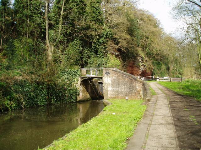
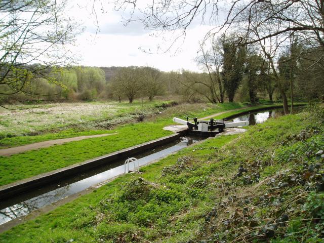
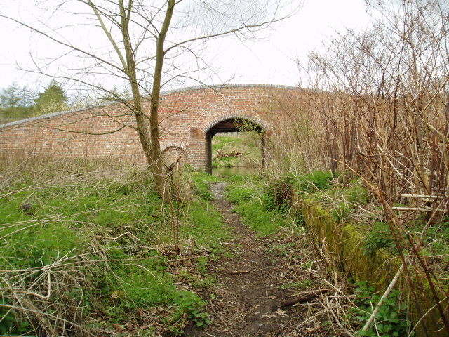
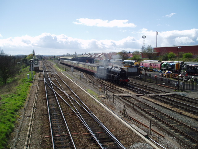
Aggborough Images
Images are sourced within 2km of 52.3777/-2.246325 or Grid Reference SO8375. Thanks to Geograph Open Source API. All images are credited.

Aggborough is located at Grid Ref: SO8375 (Lat: 52.3777, Lng: -2.246325)
Administrative County: Worcestershire
District: Wyre Forest
Police Authority: West Mercia
What 3 Words
///likes.drain.riding. Near Kidderminster, Worcestershire
Nearby Locations
Related Wikis

Aggborough Stadium
Aggborough Stadium is a football stadium in Kidderminster, England. It is the home ground of Kidderminster Harriers, and has a capacity of 7,000, of which...

Coalyard Miniature Railway
The Coalyard Miniature Railway, opened in 1988, and relaid in 1990 as a 7+1⁄4 in (184 mm) gauge railway, operates in the grounds of the Severn Valley Railway...

Caldwall Castle
Caldwall Castle, also spelt Caldwell Castle and now known as Caldwall Tower, is a former manor house in the town of Kidderminster in Worcestershire, England...

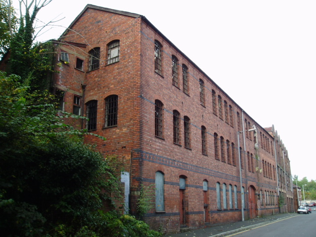
Museum of Carpet
The Museum of Carpet is a textile museum in the town of Kidderminster in Worcestershire, England. == History == A Carpet Museum Trust was founded in 1981...

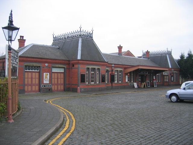
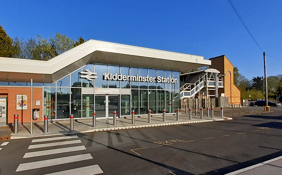
Kidderminster Town railway station
Kidderminster Town is a railway station situated in the town of Kidderminster, Worcestershire, England. It is operated by the Severn Valley Railway, a...
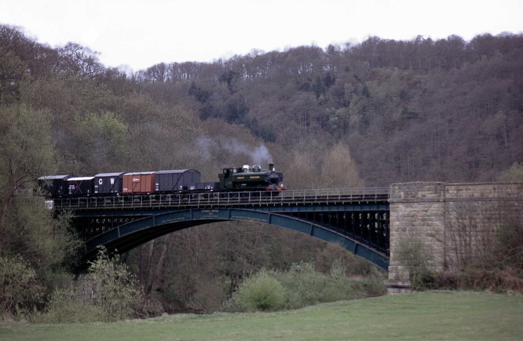
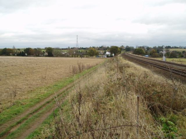
Severn Valley Railway
The Severn Valley Railway is a standard gauge heritage railway in Shropshire and Worcestershire, England, named after the company that originally built...
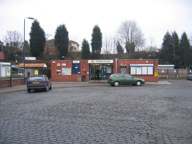
Kidderminster railway station
Kidderminster railway station is the main station serving the large town of Kidderminster, Worcestershire, England and the wider Wyre Forest district....

Military Wireless Museum in the Midlands
The Military Wireless Museum is a private museum operated from Kidderminster, Worcestershire which displays a collection of military wireless equipment...
Nearby Amenities
Located within 500m of 52.3777,-2.246325Have you been to Aggborough?
Leave your review of Aggborough below (or comments, questions and feedback).