Agbrigg
Settlement in Yorkshire
England
Agbrigg
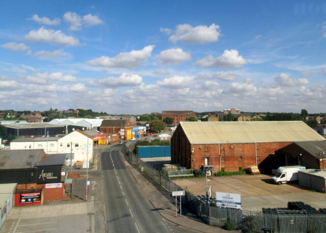
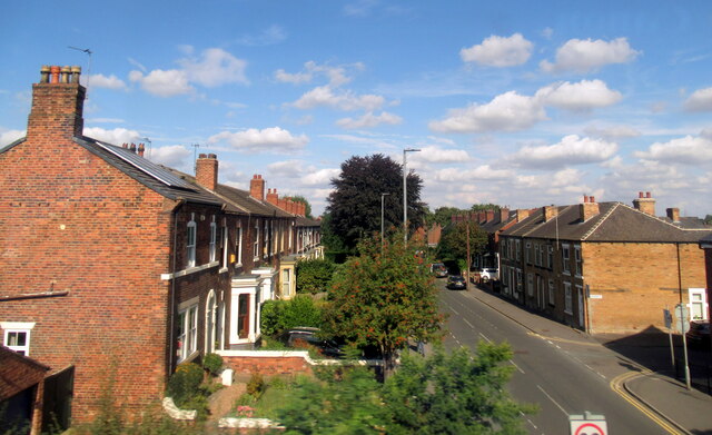
Agbrigg is a small village located in the county of Yorkshire in Northern England. Situated approximately two miles southeast of the city of Wakefield, it falls within the metropolitan borough of the same name. The village is nestled on the eastern bank of the River Calder, offering picturesque views of the surrounding countryside.
With a population of around 3,000 residents, Agbrigg maintains a close-knit community atmosphere. The village is primarily residential, characterized by rows of charming terraced houses and a handful of local amenities. These include a post office, a convenience store, a primary school, and a few small businesses catering to the needs of the locals.
Agbrigg boasts a rich historical background, with evidence of human settlement dating back to Roman times. The area is home to several archaeological sites, including the remains of a Roman fort and a medieval motte-and-bailey castle. These historical landmarks attract tourists and history enthusiasts alike, providing a glimpse into the village's past.
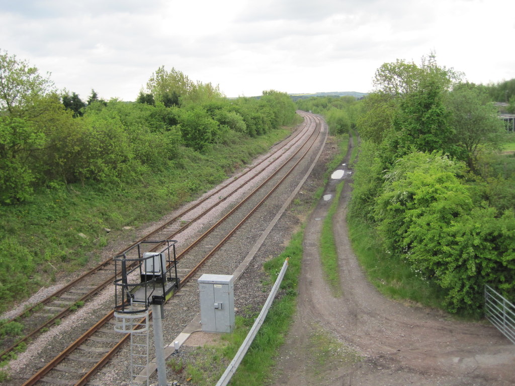
The village is well-connected to the wider region by road and rail, with Agbrigg railway station providing regular services to nearby towns and cities. The surrounding area offers plenty of opportunities for outdoor activities, with numerous walking and cycling trails traversing the picturesque Yorkshire countryside.
Overall, Agbrigg is a tranquil village that blends history and natural beauty, providing a peaceful haven for its residents and a charming destination for visitors seeking a taste of traditional Yorkshire life.
If you have any feedback on the listing, please let us know in the comments section below.
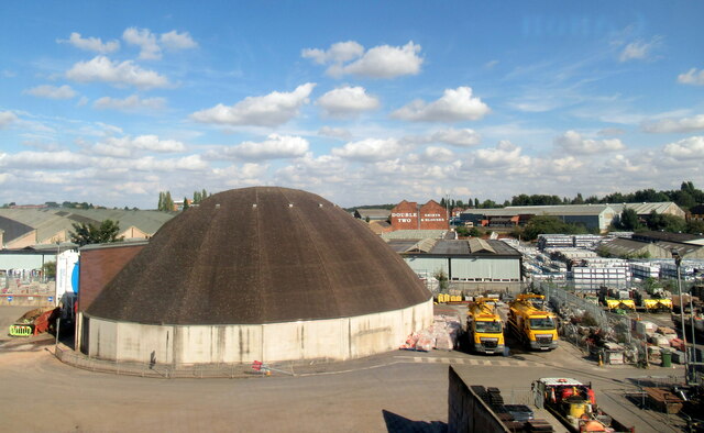
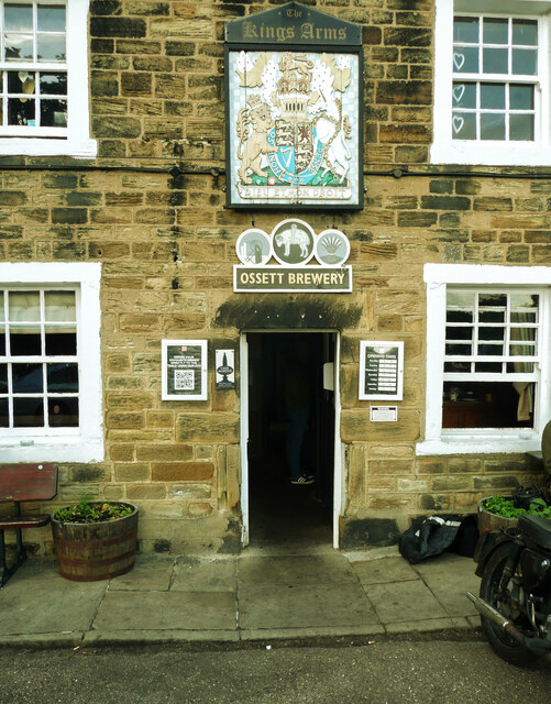
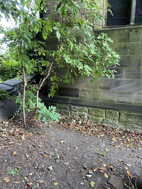
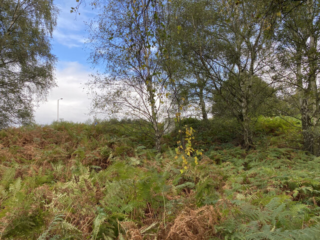
Agbrigg Images
Images are sourced within 2km of 53.668898/-1.467644 or Grid Reference SE3519. Thanks to Geograph Open Source API. All images are credited.


Agbrigg is located at Grid Ref: SE3519 (Lat: 53.668898, Lng: -1.467644)
Division: West Riding
Unitary Authority: Wakefield
Police Authority: West Yorkshire
What 3 Words
///jobs.letter.live. Near Walton, West Yorkshire
Nearby Locations
Related Wikis

Wakefield power station
The Wakefield power stations refers to a series of two coal-fired power stations situated on the River Calder at Agbrigg south east of Wakefield, serving...
Oakenshaw railway station
Oakenshaw railway station was located about two miles south-east of Wakefield, West Yorkshire, England. It was opened in 1840 by the North Midland Railway...

Belle Vue (Wakefield)
Belle Vue, also known as the Be Well Support Stadium for sponsorship reasons, in Wakefield, England, is the home of Wakefield Trinity rugby league club...

Heath Hall, Heath, West Yorkshire
Heath Hall, Heath, Wakefield, West Yorkshire is a country house dating from 1709. Originally called Eshald House, the estate was purchased by John Smyth...
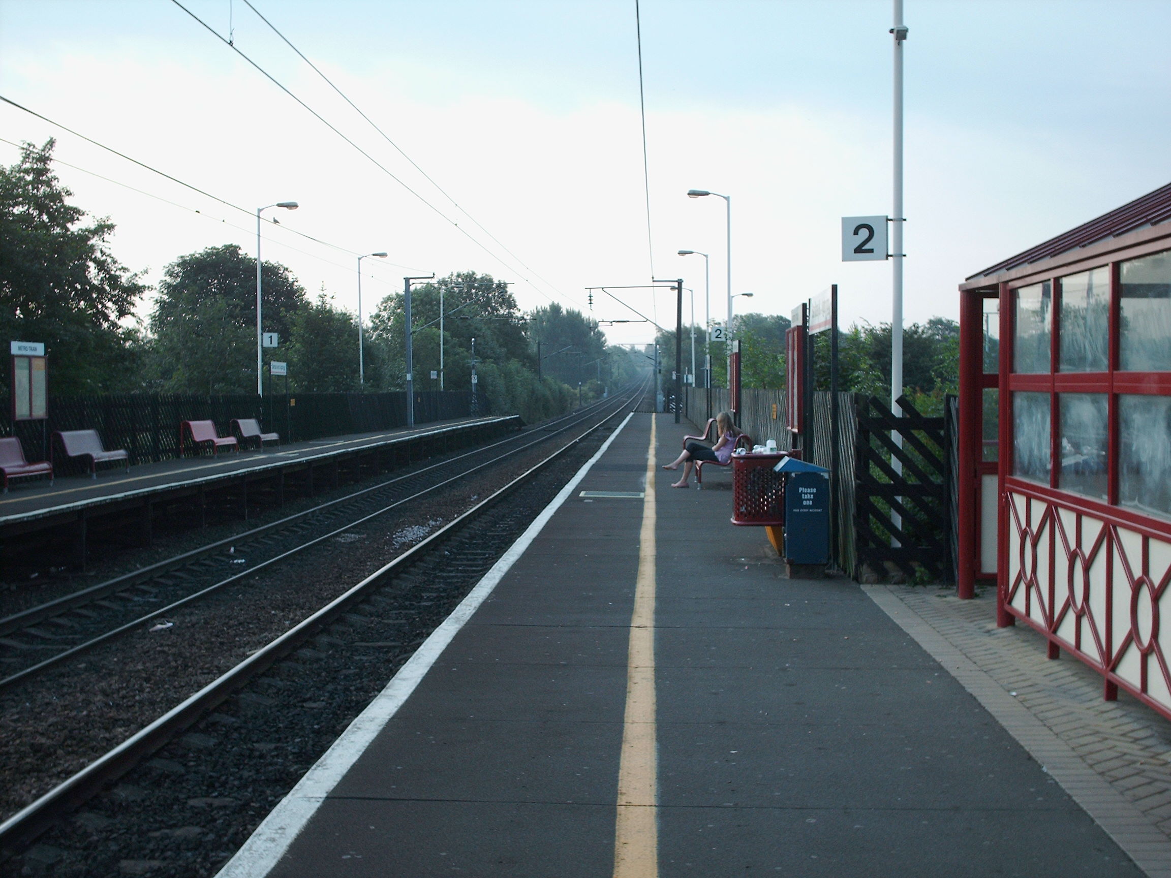
Sandal and Agbrigg railway station
Sandal and Agbrigg railway station serves the Wakefield suburbs of Sandal and Agbrigg in West Yorkshire, England. It lies on the Wakefield Line and is...

Agbrigg
Agbrigg is a suburb of the city of Wakefield, West Yorkshire, England. == History == The village of Agbrigg was historically within the parish of Sandal...
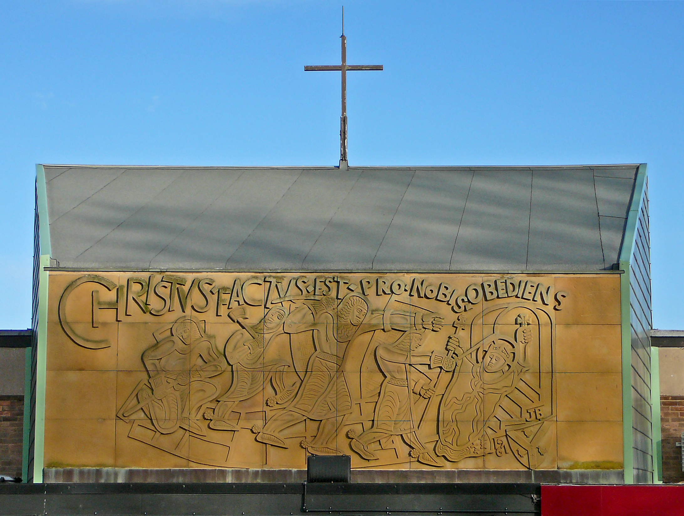
St Thomas à Becket Catholic Secondary School
St Thomas à Becket Catholic Secondary School is a coeducational secondary school with academy status in Wakefield, West Yorkshire, England. It has 749...

Warmfield cum Heath
Warmfield cum Heath is a civil parish in the City of Wakefield in West Yorkshire, England. It has a population of 844. increasing to 941 at the 2011 Census...
Nearby Amenities
Located within 500m of 53.668898,-1.467644Have you been to Agbrigg?
Leave your review of Agbrigg below (or comments, questions and feedback).