Heath Common
Settlement in Yorkshire
England
Heath Common
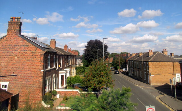
Heath Common is a picturesque village nestled in the heart of Yorkshire, England. Situated just a few miles south of the bustling city of Wakefield, it offers a tranquil and idyllic setting for its residents and visitors alike. With a population of around 1,500, it retains a close-knit community feel, making it an attractive place to live.
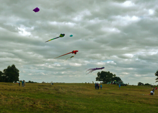
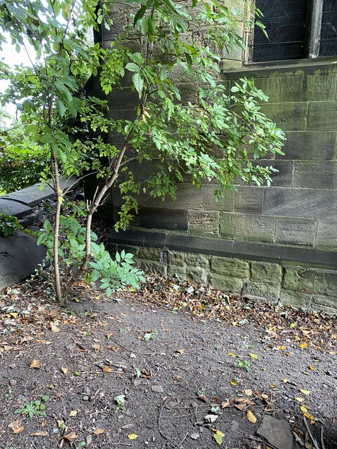
The village is surrounded by stunning countryside, with the expansive heathland forming its central feature. This open expanse of land, covered in heather and gorse, provides a haven for local wildlife and a peaceful retreat for walkers and nature enthusiasts. The heath is crisscrossed with winding footpaths, offering breathtaking views of the surrounding rolling hills and valleys.
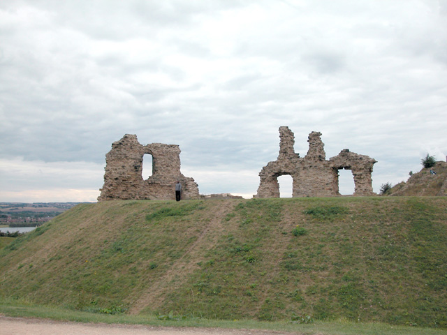
Heath Common boasts a rich history, with evidence of human settlement dating back to prehistoric times. The village church, St. Mary's, is a beautiful example of medieval architecture, standing proudly at the heart of the community. The churchyard is a peaceful spot, with gravestones that reveal the stories of generations past.
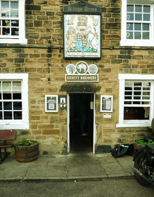
The village is also home to a range of amenities, including a small convenience store, a primary school, and a charming pub that serves delicious locally sourced food. The residents take pride in their community, organizing regular events and festivals that celebrate the village's heritage and foster a sense of togetherness.
Overall, Heath Common offers a perfect blend of natural beauty, historical significance, and a strong community spirit. Whether you are looking for a peaceful retreat or a place to set down roots, this Yorkshire gem has something to offer everyone.
If you have any feedback on the listing, please let us know in the comments section below.
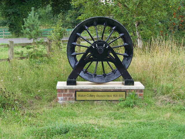
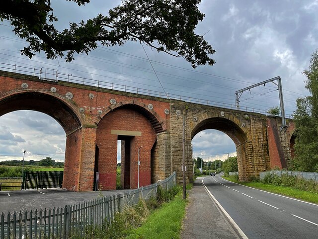
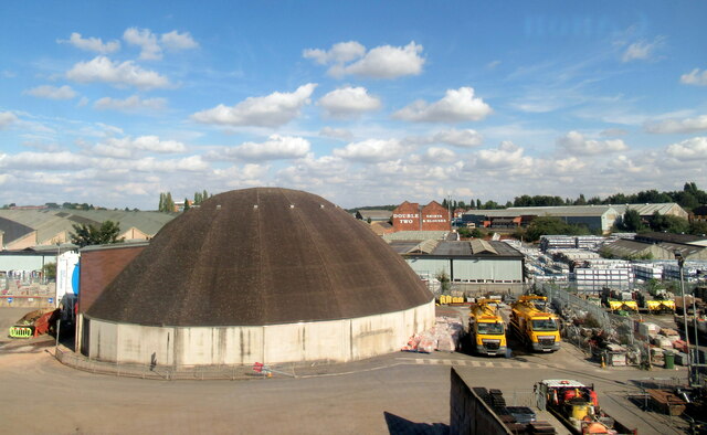
Heath Common Images
Images are sourced within 2km of 53.666315/-1.4717692 or Grid Reference SE3519. Thanks to Geograph Open Source API. All images are credited.


Heath Common is located at Grid Ref: SE3519 (Lat: 53.666315, Lng: -1.4717692)
Division: West Riding
Unitary Authority: Wakefield
Police Authority: West Yorkshire
What 3 Words
///reserved.pure.etchings. Near Walton, West Yorkshire
Nearby Locations
Related Wikis

Belle Vue (Wakefield)
Belle Vue, also known as the Be Well Support Stadium for sponsorship reasons, in Wakefield, England, is the home of Wakefield Trinity rugby league club...
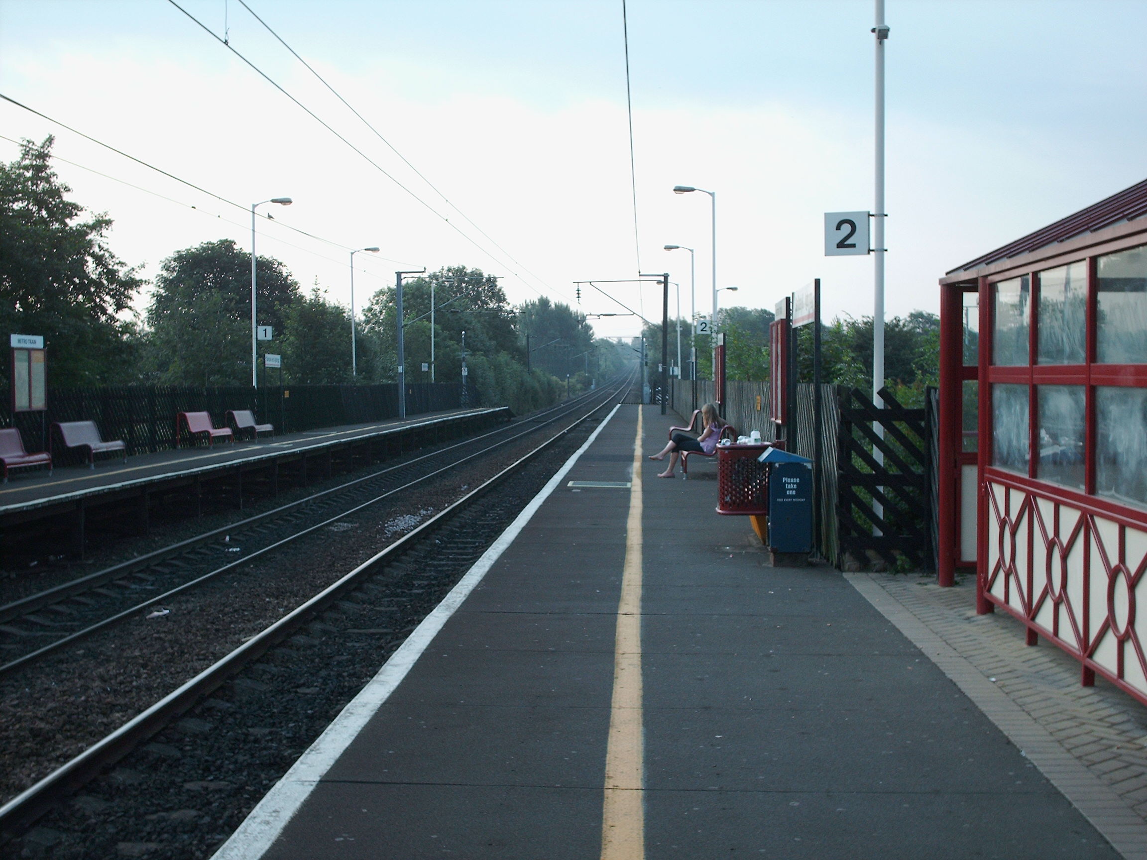
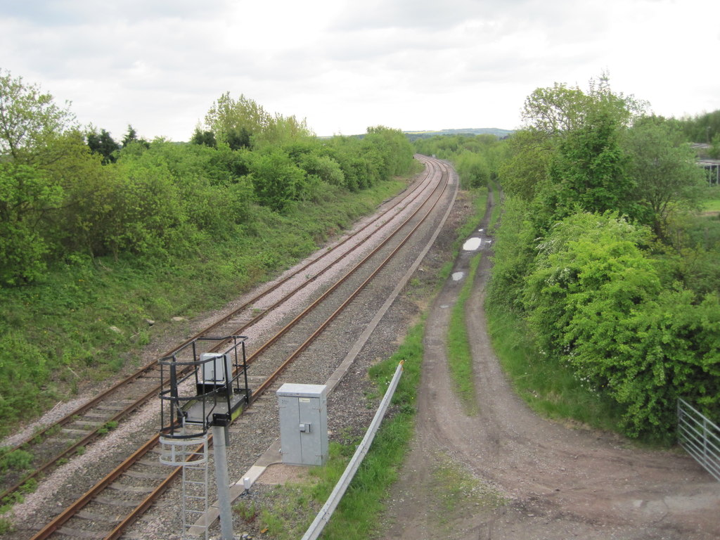
Sandal and Agbrigg railway station
Sandal and Agbrigg railway station serves the Wakefield suburbs of Sandal and Agbrigg in West Yorkshire, England. It lies on the Wakefield Line and is...

Wakefield power station
The Wakefield power stations refers to a series of two coal-fired power stations situated on the River Calder at Agbrigg south east of Wakefield, serving...

Agbrigg
Agbrigg is a suburb of the city of Wakefield, West Yorkshire, England. == History == The village of Agbrigg was historically within the parish of Sandal...
Oakenshaw railway station
Oakenshaw railway station was located about two miles south-east of Wakefield, West Yorkshire, England. It was opened in 1840 by the North Midland Railway...
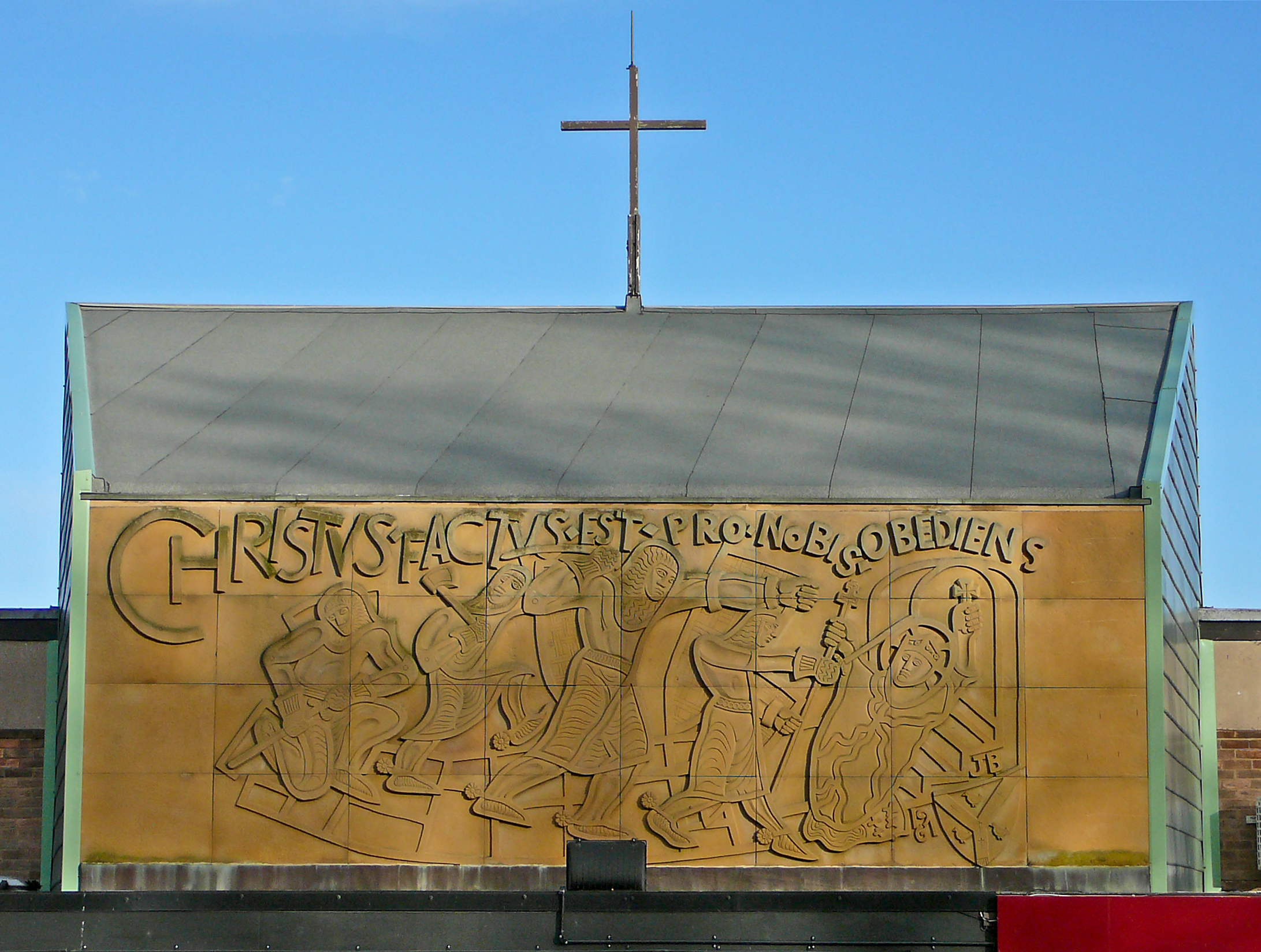
St Thomas à Becket Catholic Secondary School
St Thomas à Becket Catholic Secondary School is a coeducational secondary school with academy status in Wakefield, West Yorkshire, England. It has 749...
Sandal Magna
Sandal Magna or Sandal is a suburb of Wakefield, West Yorkshire, England with a population in 2001 of 5,432. An ancient settlement, it is the site of Sandal...

Heath Hall, Heath, West Yorkshire
Heath Hall, Heath, Wakefield, West Yorkshire is a country house dating from 1709. Originally called Eshald House, the estate was purchased by John Smyth...
Nearby Amenities
Located within 500m of 53.666315,-1.4717692Have you been to Heath Common?
Leave your review of Heath Common below (or comments, questions and feedback).