Heath Common

Settlement in Sussex Horsham

England

Heath Common

The Parish Church of St Mary The church at Sullington is a Grade I listed building. For further details see <span class="nowrap"><a title="https://historicengland.org.uk/listing/the-list/list-entry/1354077" rel="nofollow ugc noopener" href="https://historicengland.org.uk/listing/the-list/list-entry/1354077">Link</a><img style="margin-left:2px;" alt="External link" title="External link - shift click to open in new window" src="https://s1.geograph.org.uk/img/external.png" width="10" height="10"/></span>
The Parish Church of St Mary Credit: Chris Thomas-Atkin

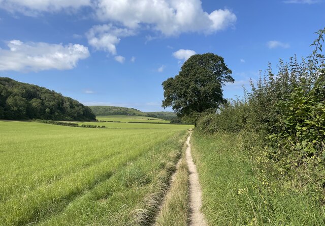
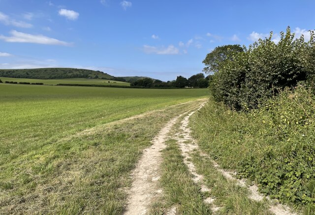
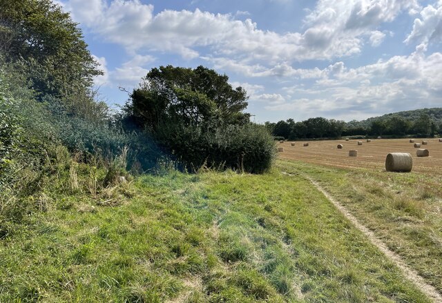
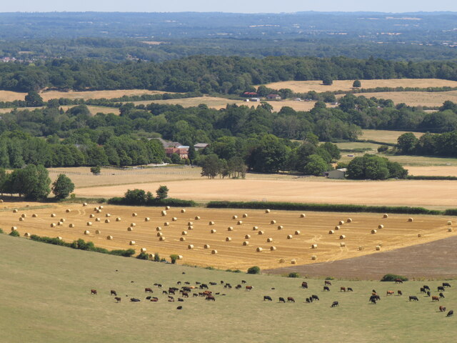
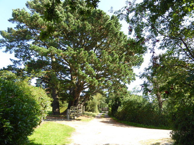
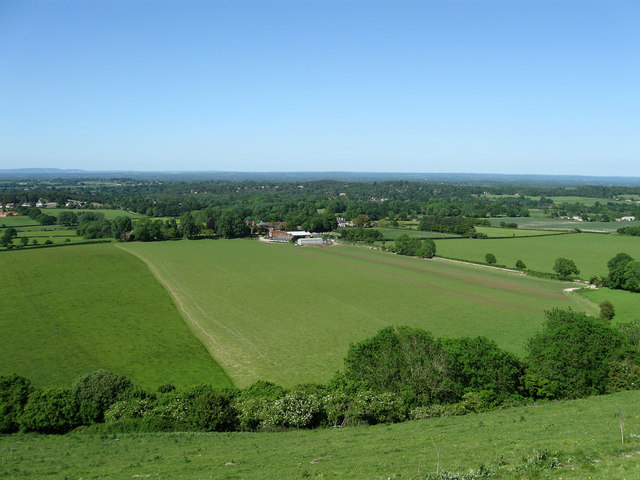
Heath Common is a charming village located in the county of Sussex, England. It is situated in the southeastern part of the county, surrounded by picturesque countryside and beautiful rolling hills. The village is known for its idyllic setting, with sprawling meadows, lush green fields, and ancient woodlands.

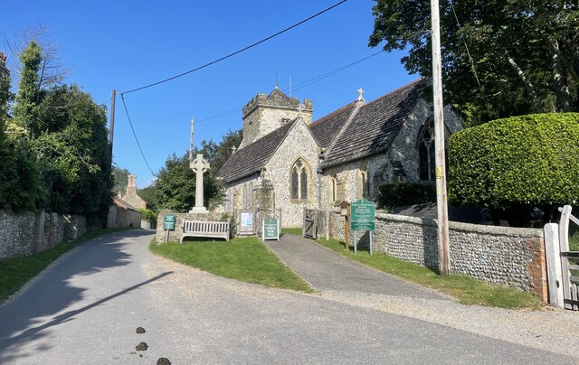
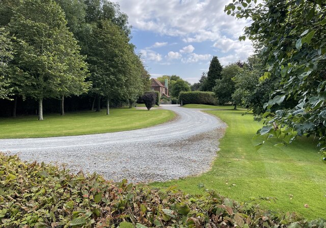
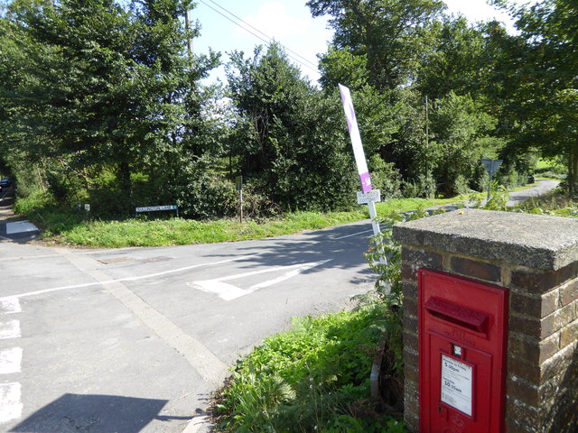
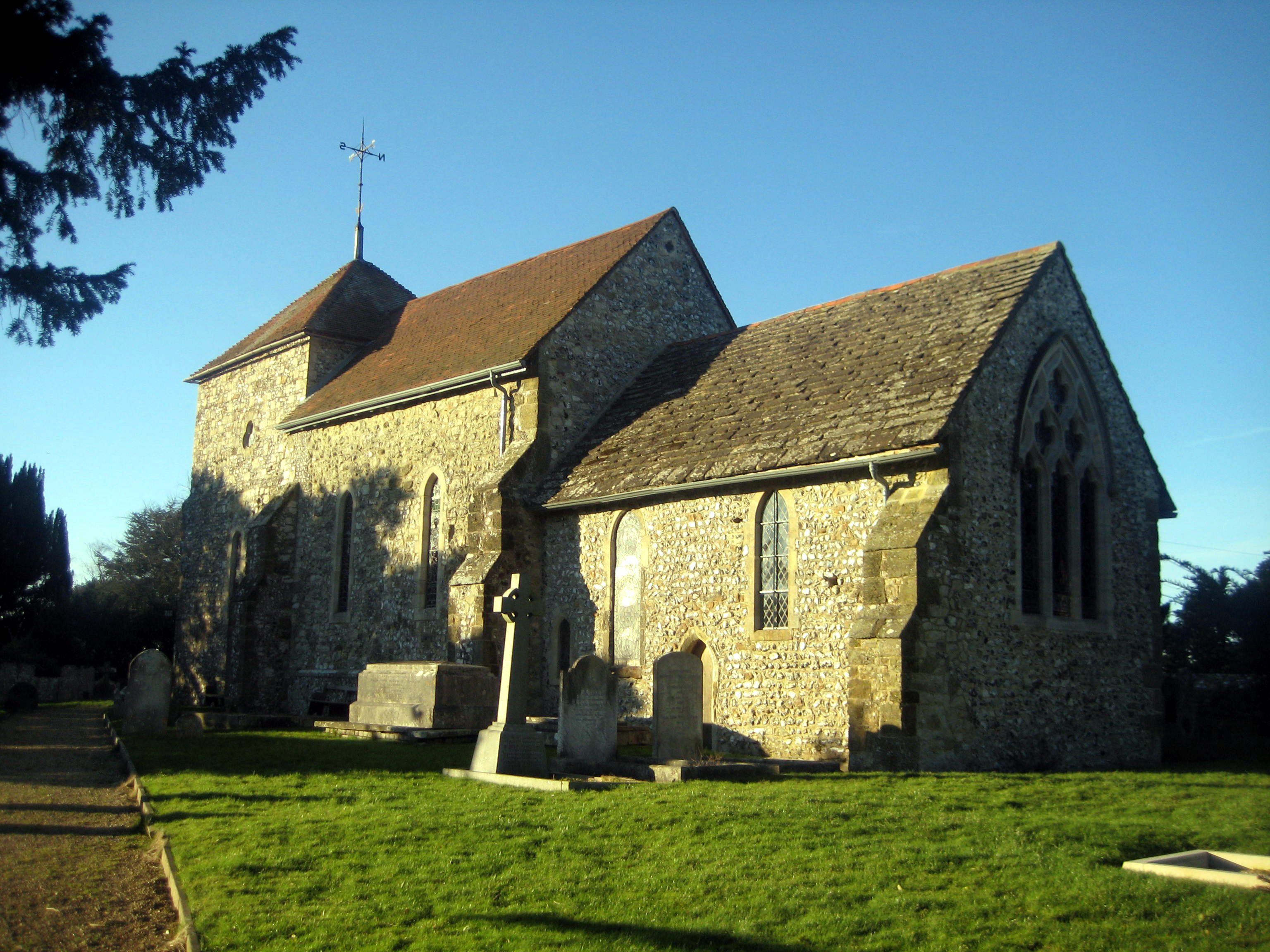
Heath Common is a small and close-knit community, with a population of around 500 residents. The village is rich in history, dating back to the medieval period. It has managed to retain much of its traditional charm, with many buildings still showcasing their original architectural features.

The village is home to a number of amenities, including a local pub, a village hall, and a primary school. The pub serves as a social hub for the community, offering a cozy atmosphere and a place for locals to gather and socialize. The village hall hosts various events and activities throughout the year, bringing the community together.

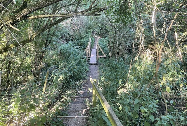
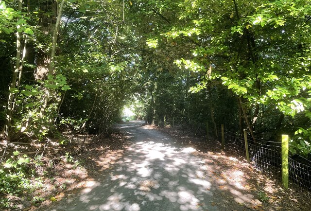
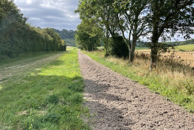
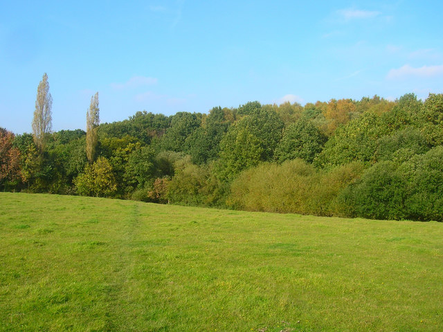
Nature lovers will find themselves in paradise in Heath Common, as the surrounding area offers ample opportunities for outdoor activities. There are numerous walking and cycling trails that weave through the countryside, providing breathtaking views and an abundance of wildlife.

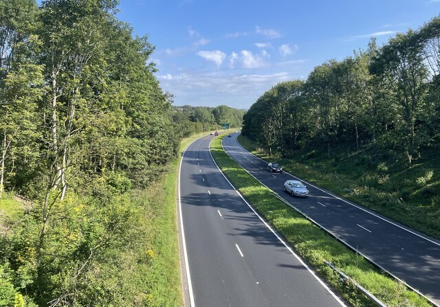
Heath Common is conveniently located near several larger towns and cities, including Brighton and Hove, which are only a short drive away. This allows residents to easily access a wider range of amenities, including shopping centers, restaurants, and cultural attractions.

Overall, Heath Common is a tranquil and picturesque village that offers a peaceful lifestyle in a stunning natural setting. Its rich history, tight-knit community, and beautiful surroundings make it a truly desirable place to live.

If you have any feedback on the listing, please let us know in the comments section below.
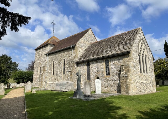
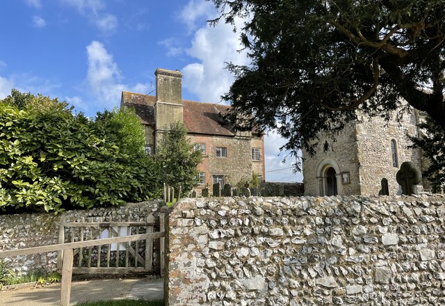
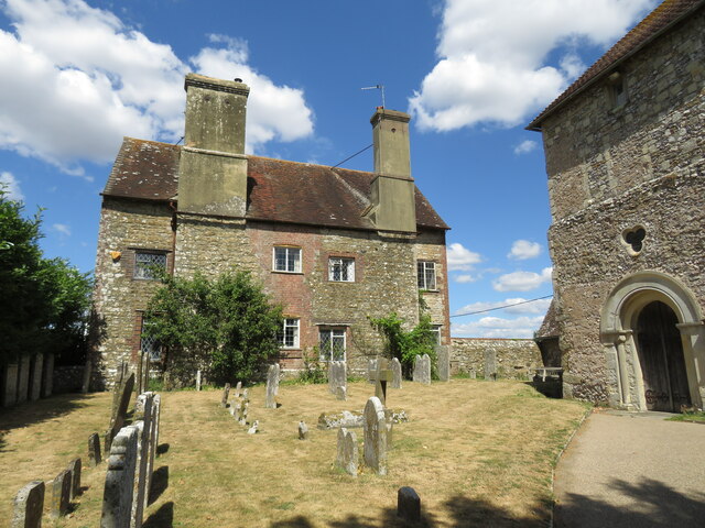
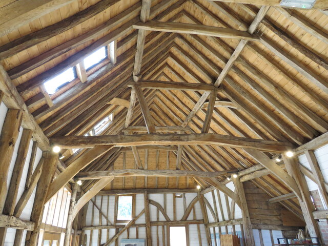
Heath Common Images

Images are sourced within 2km of 50.9148/-0.4223851 or Grid Reference TQ1114. Thanks to Geograph Open Source API. All images are credited.

The Parish Church of St Mary The church at Sullington is a Grade I listed building. For further details see <span class="nowrap"><a title="https://historicengland.org.uk/listing/the-list/list-entry/1354077" rel="nofollow ugc noopener" href="https://historicengland.org.uk/listing/the-list/list-entry/1354077">Link</a><img style="margin-left:2px;" alt="External link" title="External link - shift click to open in new window" src="https://s1.geograph.org.uk/img/external.png" width="10" height="10"/></span>
The Parish Church of St Mary
The church at Sullington is a Grade I listed building. For further details see LinkExternal link
Sullington Manor The building close to the church is Sullington Manor, which is a Grade II listed building. See <span class="nowrap"><a title="https://historicengland.org.uk/listing/the-list/list-entry/1285147" rel="nofollow ugc noopener" href="https://historicengland.org.uk/listing/the-list/list-entry/1285147">Link</a><img style="margin-left:2px;" alt="External link" title="External link - shift click to open in new window" src="https://s1.geograph.org.uk/img/external.png" width="10" height="10"/></span>
Sullington Manor
The building close to the church is Sullington Manor, which is a Grade II listed building. See LinkExternal link
Sullington Manor A patchwork of building materials from chalk, flint and brick, with the Church alongside
Sullington Manor
A patchwork of building materials from chalk, flint and brick, with the Church alongside
Sullington Manor Barn One of the finest barns in Sussex, now used as a heritage exhibition space and much -valued tea room
Sullington Manor Barn
One of the finest barns in Sussex, now used as a heritage exhibition space and much -valued tea room
Footbridge near Washington Crossing a small unnamed stream public footpath number 2089_2 shortly meets Washington Bostal.
Footbridge near Washington
Crossing a small unnamed stream public footpath number 2089_2 shortly meets Washington Bostal.
The Parish Church of St Mary The church is a Grade II* (star) listed building. See <span class="nowrap"><a title="https://historicengland.org.uk/listing/the-list/list-entry/1027198" rel="nofollow ugc noopener" href="https://historicengland.org.uk/listing/the-list/list-entry/1027198">Link</a><img style="margin-left:2px;" alt="External link" title="External link - shift click to open in new window" src="https://s1.geograph.org.uk/img/external.png" width="10" height="10"/></span>
The Parish Church of St Mary
The church is a Grade II* (star) listed building. See LinkExternal link
The A24 Crossing the A24 on the bridge carrying public footpath number 2697.
The A24
Crossing the A24 on the bridge carrying public footpath number 2697.
Path near Rowdell The path descending from Rowdell is public footpath number 2697.
Path near Rowdell
The path descending from Rowdell is public footpath number 2697.
Path below the South Downs Heading west on path number 2665 towards Sullington.
Path below the South Downs
Heading west on path number 2665 towards Sullington.
Fields near Barns Farm Heading west towards Sullington on path number 2665.
Fields near Barns Farm
Heading west towards Sullington on path number 2665.
Barns Farm Barns Farm viewed from the passing public footpath.
Barns Farm
Barns Farm viewed from the passing public footpath.
Horse Gallops The Gallops head towards the South Downs.
Horse Gallops
The Gallops head towards the South Downs.
Path corner Path number 2665 technically heads round the field corner but in practice the worn path takes a more direct route.
Path corner
Path number 2665 technically heads round the field corner but in practice the worn path takes a more direct route.
Sullington harvest View from the bridleway above Hill Barn looking towards Barns Farm
Sullington harvest
View from the bridleway above Hill Barn looking towards Barns Farm
Harvest scene above Barns Farm View from bridleway climbing up from Sullington
Harvest scene above Barns Farm
View from bridleway climbing up from Sullington
Junction of Washington Road and Sullington Lane with post box A view of the junction from the south is at <a title="https://www.geograph.org.uk/photo/3225098" href="https://www.geograph.org.uk/photo/3225098">Link</a>.
Junction of Washington Road and Sullington Lane with post box
A view of the junction from the south is at Link.
Road junction north of Washington Road
Footpath to Sullington Warren
Show me another place!

Heath Common is located at Grid Ref: TQ1114 (Lat: 50.9148, Lng: -0.4223851)

Administrative County: West Sussex

District: Horsham

Police Authority: Sussex

What 3 Words

///dated.audit.livid. Near Washington, West Sussex

Related Wikis

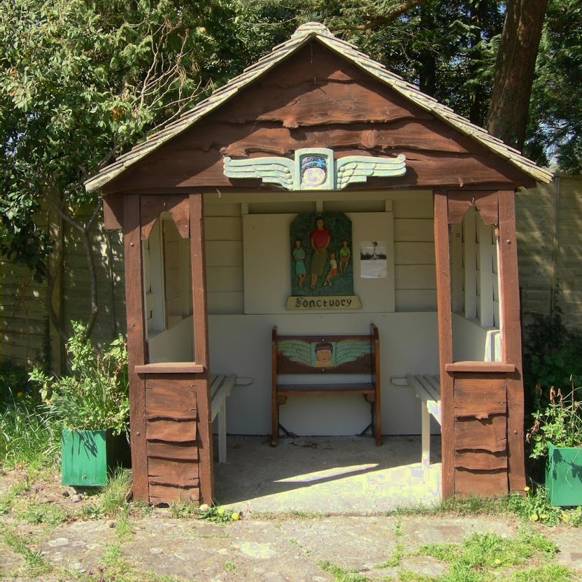
The Sanctuary (community)

The Sanctuary, near Storrington in West Sussex, England, was a utopian community which was founded in 1923 and lasted about a decade. == Founding and... ==

Heath Common

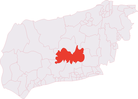
Heath Common is a settlement in the Horsham District of West Sussex, England. It lies on the Storrington to Ashington road 1.5 miles (2.4 km) east of Storrington...

Rydon Community College

Rydon Community College was a maintained comprehensive middle-deemed-secondary school for pupils aged 10 to 13. The school was located just outside Storrington...

Sullington Warren

Sullington Warren is a 24.7-hectare (61-acre) biological Site of Special Scientific Interest in Storrington in West Sussex. The site includes several tumuli...

Sullington

Sullington is a village and former civil parish, now in the parish of Storrington and Sullington, in the Horsham district of West Sussex, England. The...

Chantry Mill

Chantry Mill is a 8.7-hectare (21-acre) geological Site of Special Scientific Interest in Storrington in West Sussex. It is a Geological Conservation Review...

Storrington (electoral division)

Storrington is an electoral division of West Sussex in the United Kingdom and returns one member to West Sussex County Council. == Extent == The division...
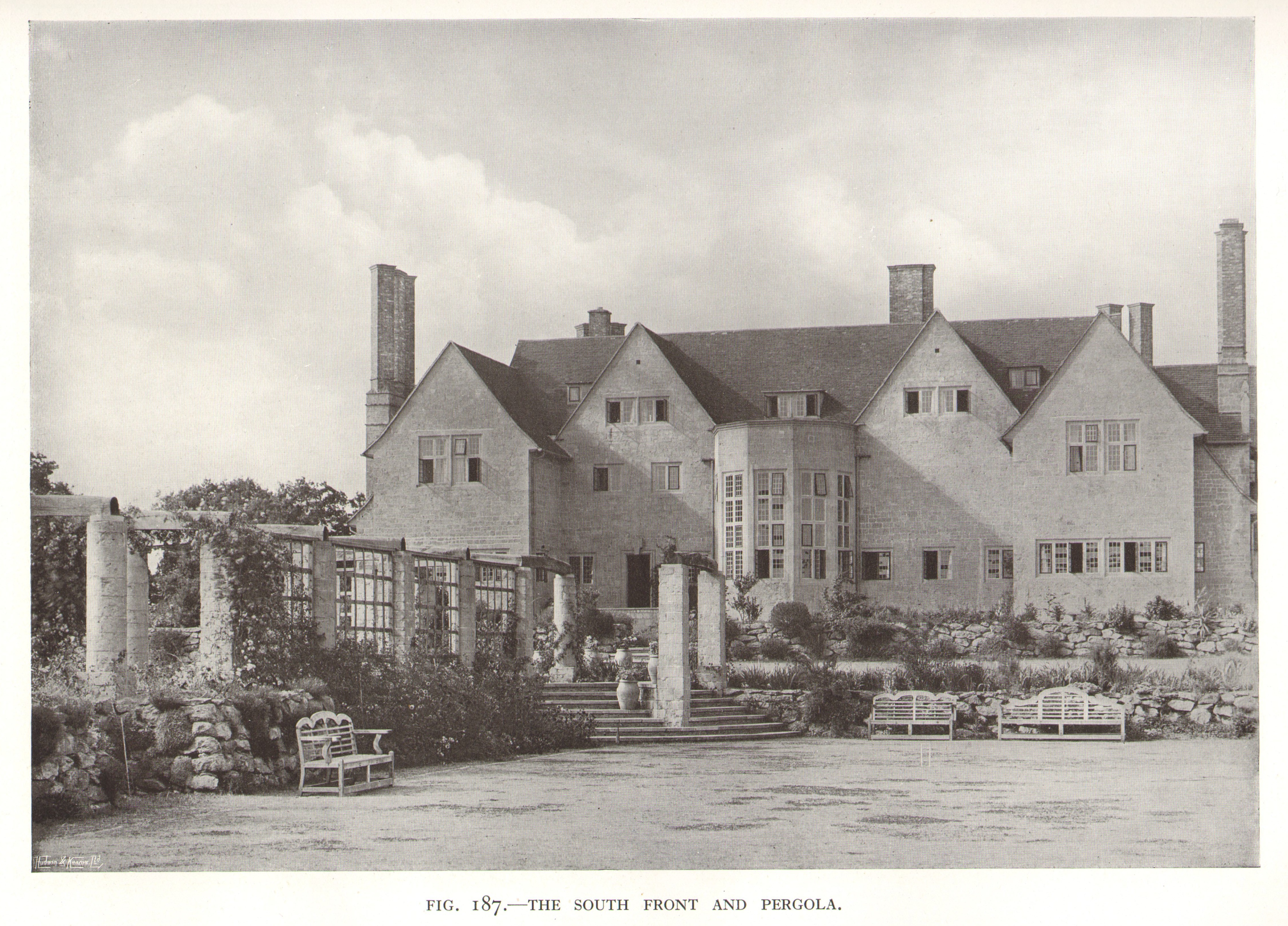
Little Thakeham

Little Thakeham is an Arts and Crafts style, Grade I listed private house in the parish of Thakeham, near the village of Storrington, in the Horsham district...

Nearby Amenities

Located within 500m of 50.9148,-0.4223851
Bus Stop
Washington Road
Naptan AtcoCode: 4400HR0183
Naptan Bearing: E
Naptan CommonName: Washington Road
Naptan Indicator: opp Barns Farm Lane
Naptan Landmark: Barns Farm Lane
Naptan NaptanCode: wsxatpgj
Naptan Street: Washington Road
Naptan Verified: no
Source: naptan_import
Lat/Long: 50.9127218/-0.4283946
Bus Stop
Hampers Lane
Naptan AtcoCode: 4400HR0184
Naptan Bearing: W
Naptan CommonName: Hampers Lane
Naptan Indicator: opp Hampers Lane
Naptan Landmark: Hampers Lane
Naptan NaptanCode: wsxatpgm
Naptan Street: Washington Road
Naptan Verified: no
Source: naptan_import
Lat/Long: 50.9118876/-0.425222
Bus Stop
Clayton Farm
Naptan AtcoCode: 4400HR0552
Naptan Bearing: E
Naptan CommonName: Clayton Farm
Naptan Indicator: adj Hampers Lane
Naptan Landmark: Hampers Lane
Naptan NaptanCode: wsxdptwg
Naptan Street: A283
Naptan Verified: no
Source: naptan_import
Lat/Long: 50.9119541/-0.4248214
Barrier: swing_gate
Lat/Long: 50.9152314/-0.416129
Turning Loop
Lat/Long: 50.9104083/-0.4217743
Post Box
Brand: Royal Mail
Brand Wikidata: Q638098
Operator: Royal Mail
Operator Wikidata: Q638098
Post Box Type: lamp
Ref: RH20 104
Royal Cypher: EIIR
Royal Cypher Wikidata: Q33102113
Lat/Long: 50.9119512/-0.4243509
Hiking: yes
Information: guidepost
Tourism: information
Lat/Long: 50.9169405/-0.4182909
Hiking: yes
Information: guidepost
Tourism: information
Lat/Long: 50.9168399/-0.4167496
Designation: public_footpath
Hiking: yes
Information: guidepost
Tourism: information
Lat/Long: 50.9156547/-0.415957
Hiking: yes
Information: guidepost
Tourism: information
Lat/Long: 50.9151187/-0.4161823
Millford Grange Play Area
Leisure: playground
Lat/Long: 50.9130257/-0.4224107
Pigland
Place: locality
Lat/Long: 50.9169955/-0.4173659
The data included in this document is from www.openstreetmap.org. The data is made available under ODbL.

Have you been to Heath Common?

Leave your review of Heath Common below (or comments, questions and feedback).