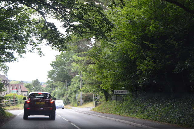
Washington Common
Wood, Forest in Sussex Horsham
England
Washington Common
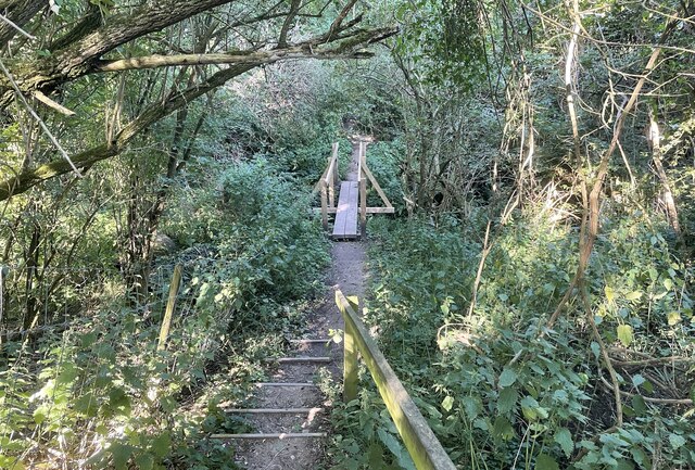
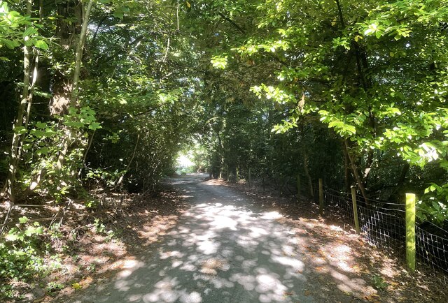
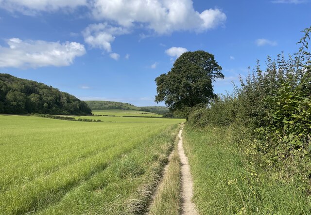
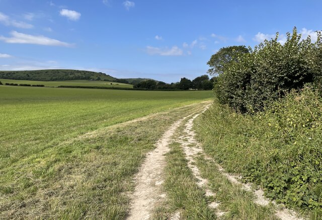
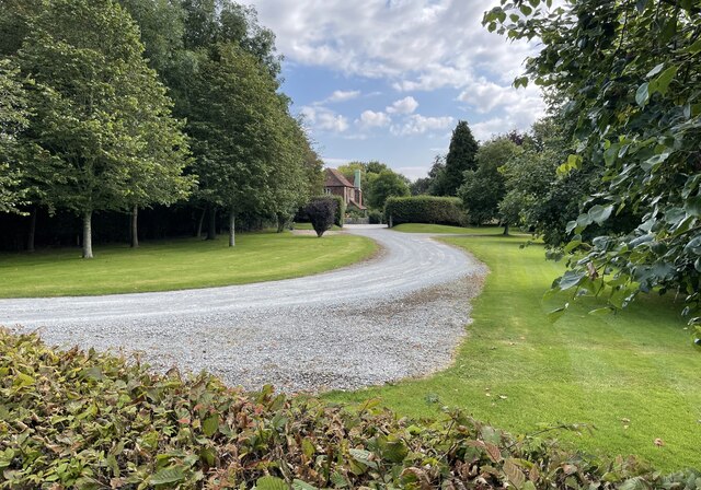
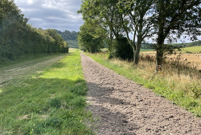
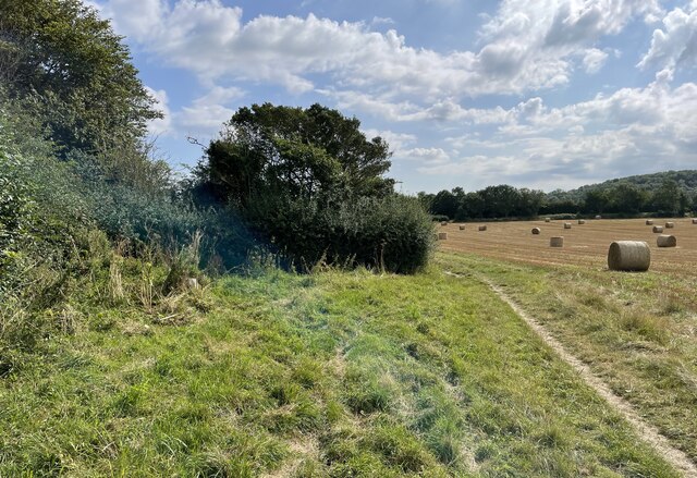
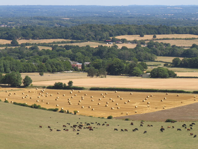
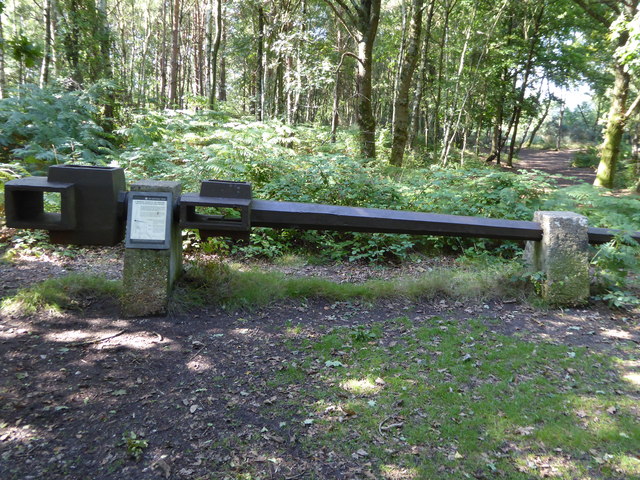
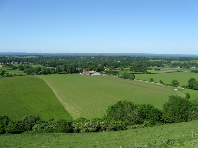
Washington Common is a picturesque woodland area located in Sussex, England. Spanning over a vast expanse, the common is nestled within the charming village of Washington. The area is renowned for its natural beauty, featuring a dense forest of ancient trees and lush greenery, making it a haven for nature enthusiasts and wildlife alike.
The woodland is dominated by a variety of tree species, including oak, beech, and birch, creating a diverse and vibrant ecosystem. The majestic trees provide shade and shelter to a wide array of flora and fauna, making it an ideal habitat for numerous woodland creatures, such as squirrels, deer, and a variety of bird species.
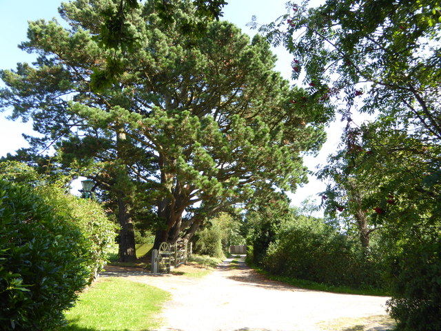
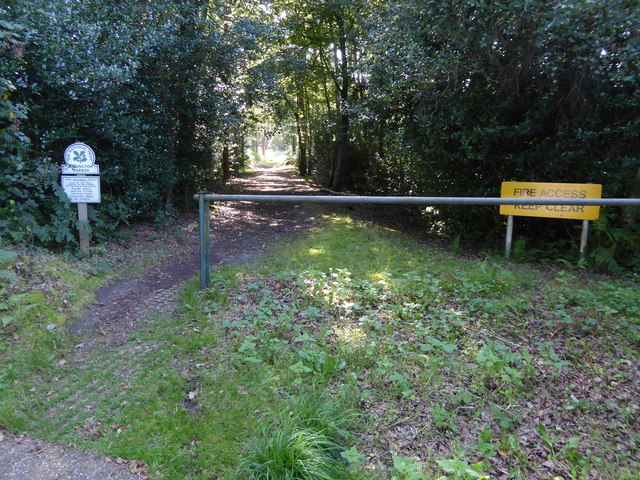
Walking through the common, visitors are greeted with a serene and tranquil ambiance, as the sounds of chirping birds and rustling leaves fill the air. The forest floor is covered in a carpet of moss, adding to the enchanting atmosphere. Several walking trails wind their way through the woodland, allowing visitors to explore the area and immerse themselves in its natural splendor.
Washington Common is not only a haven for nature lovers but also a popular destination for recreational activities. It offers ample opportunities for hiking, picnicking, and photography, attracting both locals and tourists alike. The common is well-maintained, with designated areas for parking and facilities such as picnic tables and benches.
Overall, Washington Common in Sussex is a true gem of natural beauty, providing a peaceful retreat from the bustling city life. It offers a chance to connect with nature and immerse oneself in the serene surroundings, making it a must-visit destination for anyone seeking solace in the great outdoors.
If you have any feedback on the listing, please let us know in the comments section below.
Washington Common Images
Images are sourced within 2km of 50.915788/-0.41299093 or Grid Reference TQ1114. Thanks to Geograph Open Source API. All images are credited.
Washington Common is located at Grid Ref: TQ1114 (Lat: 50.915788, Lng: -0.41299093)
Administrative County: West Sussex
District: Horsham
Police Authority: Sussex
What 3 Words
///blink.furnish.knocking. Near Washington, West Sussex
Nearby Locations
Related Wikis
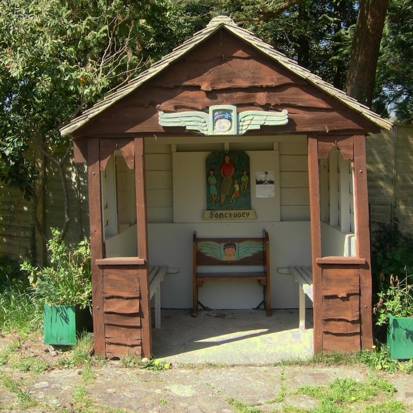
The Sanctuary (community)
The Sanctuary, near Storrington in West Sussex, England, was a utopian community which was founded in 1923 and lasted about a decade. == Founding and... ==

Heath Common
Heath Common is a settlement in the Horsham District of West Sussex, England. It lies on the Storrington to Ashington road 1.5 miles (2.4 km) east of Storrington...

Rock Mill, Washington
Rock Mill is a Grade II listed smock mill at Washington, West Sussex, England, which has been converted to residential use. == History == Rock Mill was...

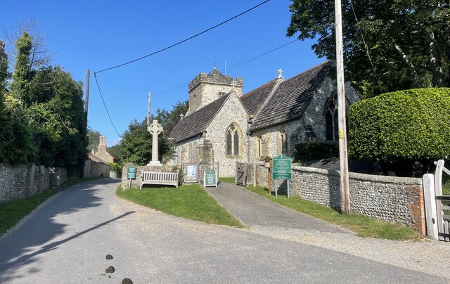
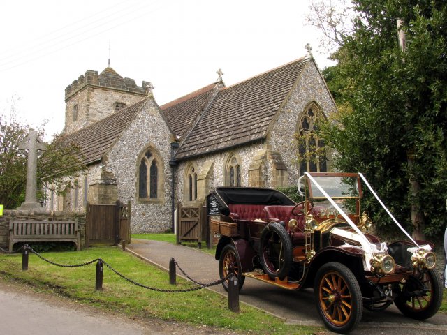
Washington, West Sussex
Washington is a village and civil parish in the Horsham District of West Sussex, England. It is located five miles (eight kilometres) west of Steyning...
Rydon Community College
Rydon Community College was a maintained comprehensive middle-deemed-secondary school for pupils aged 10 to 13. The school was located just outside Storrington...
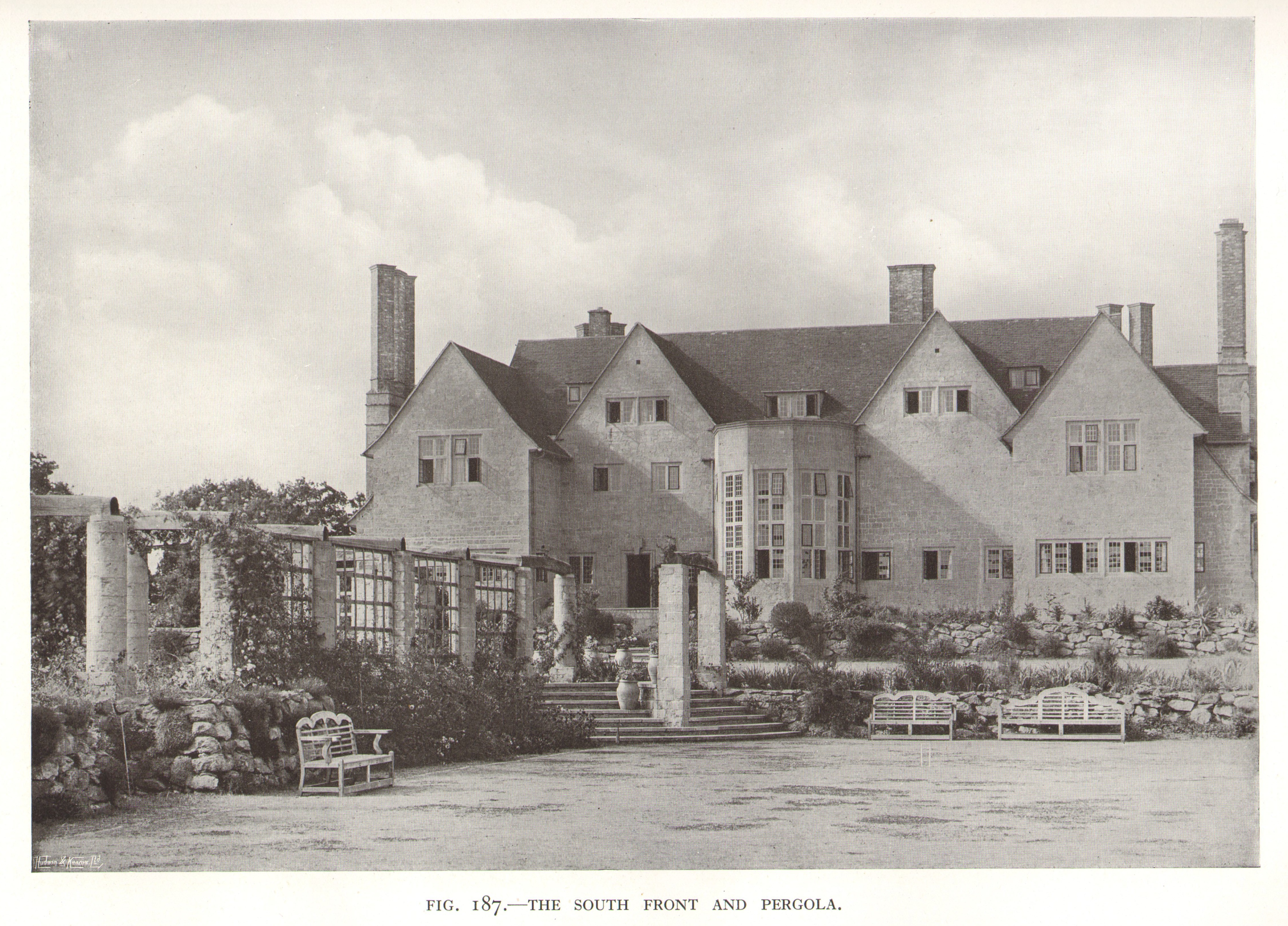
Little Thakeham
Little Thakeham is an Arts and Crafts style, Grade I listed private house in the parish of Thakeham, near the village of Storrington, in the Horsham district...
Sullington Warren
Sullington Warren is a 24.7-hectare (61-acre) biological Site of Special Scientific Interest in Storrington in West Sussex. The site includes several tumuli...
Sullington
Sullington is a village and former civil parish, now in the parish of Storrington and Sullington, in the Horsham district of West Sussex, England. The...
Nearby Amenities
Located within 500m of 50.915788,-0.41299093Have you been to Washington Common?
Leave your review of Washington Common below (or comments, questions and feedback).