Chafers Copse
Wood, Forest in Sussex Horsham
England
Chafers Copse
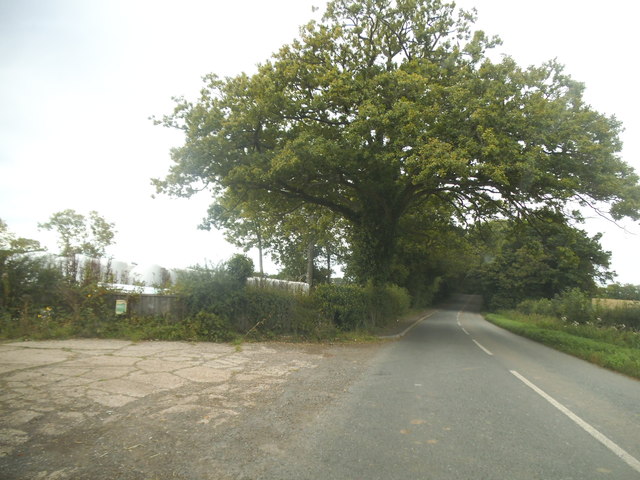
Chafers Copse is a charming woodland located in Sussex, England. It is situated in the heart of the South Downs National Park, making it a popular destination for nature lovers and outdoor enthusiasts alike. Covering an area of approximately 100 acres, Chafers Copse boasts a diverse range of flora and fauna, making it a haven for wildlife.
The woodland is predominantly made up of native trees such as oak, beech, and birch, which create a beautiful and vibrant canopy overhead. The forest floor is adorned with a rich carpet of bluebells and wildflowers during the spring months, adding to the enchanting atmosphere of the copse.
Chafers Copse is intersected by a network of well-maintained footpaths, allowing visitors to explore its scenic surroundings at their own pace. The trails wind through the woodland, providing opportunities to spot various species of birds, butterflies, and small mammals. The copse is also home to a population of deer, which can occasionally be seen grazing peacefully in the glades.
Aside from its natural beauty, Chafers Copse also holds historical significance. It is believed that the woodland has been in existence for centuries, and remnants of ancient settlements and burial mounds have been discovered within its boundaries.
Overall, Chafers Copse offers a tranquil and picturesque setting for anyone seeking to immerse themselves in the beauty of nature. Its combination of diverse wildlife, stunning flora, and well-preserved footpaths make it an ideal destination for a peaceful walk or a family picnic amidst the serenity of the Sussex countryside.
If you have any feedback on the listing, please let us know in the comments section below.
Chafers Copse Images
Images are sourced within 2km of 51.054927/-0.40838203 or Grid Reference TQ1129. Thanks to Geograph Open Source API. All images are credited.


Chafers Copse is located at Grid Ref: TQ1129 (Lat: 51.054927, Lng: -0.40838203)
Administrative County: West Sussex
District: Horsham
Police Authority: Sussex
What 3 Words
///splashes.forecast.campers. Near Slinfold, West Sussex
Nearby Locations
Related Wikis

Slinfold railway station
Slinfold railway station was on the Cranleigh Line and served the village of Slinfold in West Sussex. == History == The line had a single track and opened...

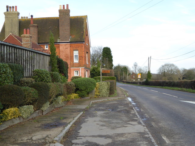
Slinfold
Slinfold is a village and civil parish in the Horsham District of West Sussex, England. == Geography == The village is almost 4 miles (6.4 km) west of...

Itchingfield
Itchingfield is a small village and civil parish in the Horsham district of West Sussex, England. It lies on the Barns Green to Broadbridge Heath road...

Slinfold Stream and Quarry
Slinfold Stream and Quarry is a 2.3-hectare (5.7-acre) geological Site of Special Scientific Interest west of Horsham in West Sussex. It is a Geological...

Five Oaks
Five Oaks is a large hamlet in the Horsham District of West Sussex, England. It lies about 1.7 miles (2.8 km) north of Billingshurst on the Roman road...

Barns Green
Barns Green is a village in the Horsham district of West Sussex, England. It lies on the Billingshurst to Itchingfield road 2+1⁄2 miles (4.0 km) north...
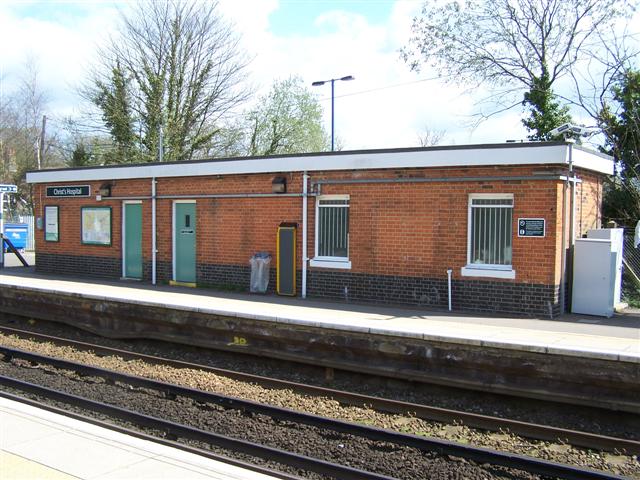
Christ's Hospital railway station
Christ's Hospital railway station is near Horsham in West Sussex, England. It is 40 miles 7 chains (64.5 km) down the line from London Bridge via Redhill...

Downs Link
The Downs Link is a 36.7 miles (59.1 km) footpath and bridleway linking the North Downs Way at St. Martha's Hill in Surrey with the South Downs Way near...
Nearby Amenities
Located within 500m of 51.054927,-0.40838203Have you been to Chafers Copse?
Leave your review of Chafers Copse below (or comments, questions and feedback).