Longbury Hill

Hill, Mountain in Sussex Horsham

England

Longbury Hill

Path near Rowdell The path descending from Rowdell is public footpath number 2697.
Path near Rowdell Credit: Chris Thomas-Atkin

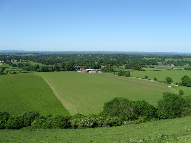
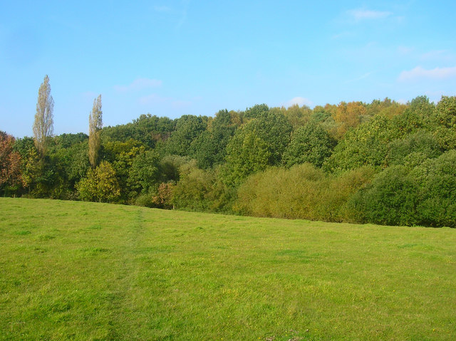
Longbury Hill, located in Sussex, England, is a picturesque hill known for its natural beauty and scenic views. Rising to a height of approximately 245 meters (804 feet), it is considered a prominent landmark in the region. The hill is part of the South Downs, a range of chalk hills that stretches across southern England.

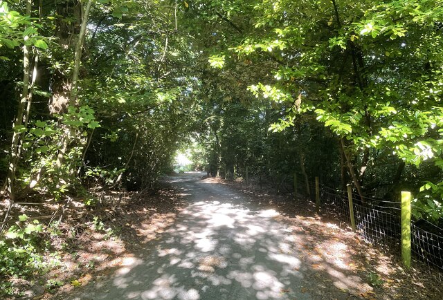
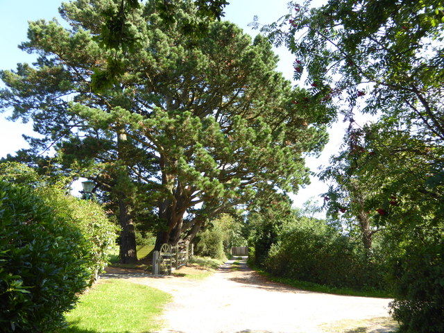
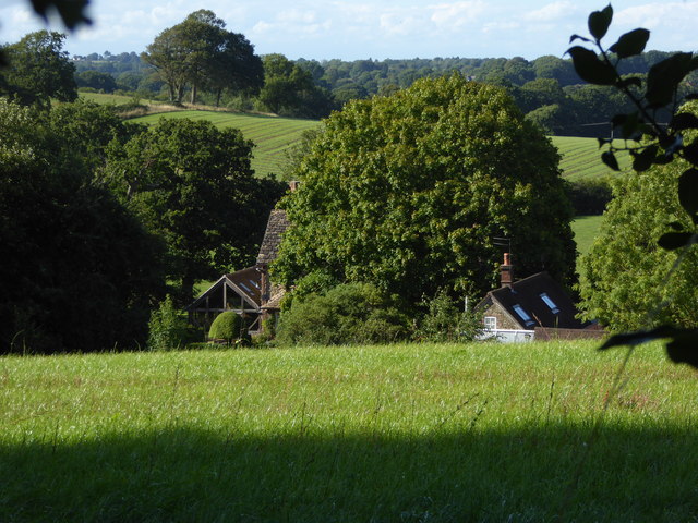
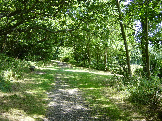
Covered in lush greenery, Longbury Hill offers a diverse landscape that includes rolling meadows, woodlands, and patches of heathland. The hill is home to a variety of flora and fauna, making it a popular spot for nature enthusiasts and hikers. Visitors can expect to encounter a range of wildlife, including rabbits, foxes, and a variety of bird species.

At the summit of Longbury Hill, visitors are rewarded with breathtaking panoramic views of the surrounding countryside. On clear days, it is possible to see as far as the English Channel. The hill's elevated position also provides an ideal vantage point for observing the changing colors of the landscape during different seasons.

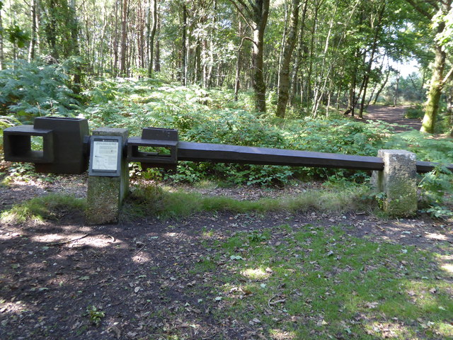
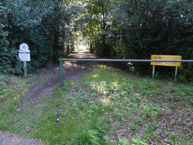
Longbury Hill offers several walking trails and footpaths, allowing visitors to explore its natural wonders at their own pace. These trails cater to both leisurely strolls and more challenging hikes, making the hill accessible to a wide range of visitors.

Overall, Longbury Hill in Sussex is a serene and idyllic destination for nature lovers, offering a tranquil escape from the hustle and bustle of everyday life. Its stunning views, diverse flora and fauna, and well-maintained trails make it a must-visit location for those seeking a connection with the great outdoors.

If you have any feedback on the listing, please let us know in the comments section below.

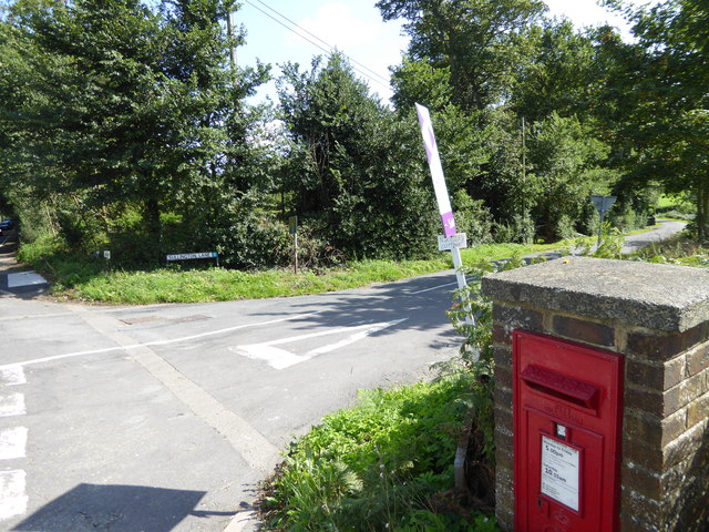
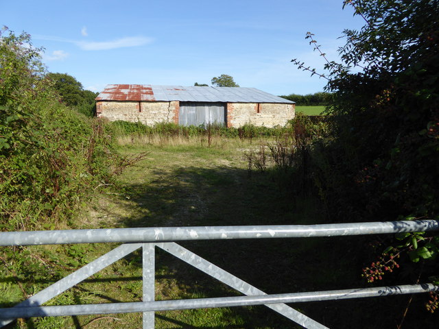
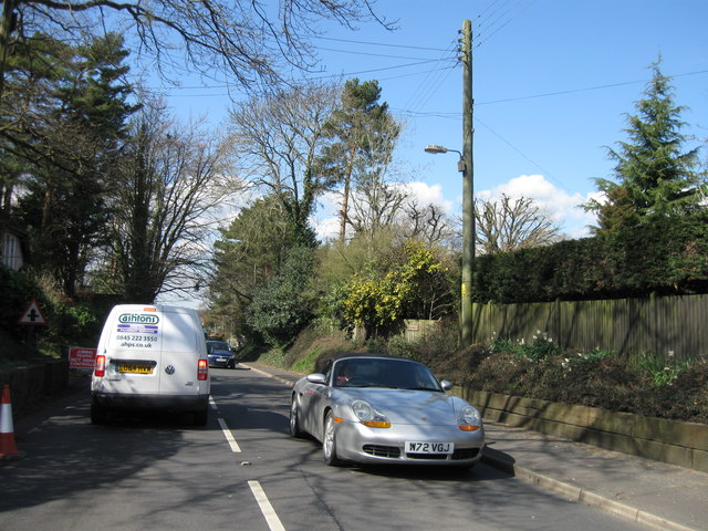
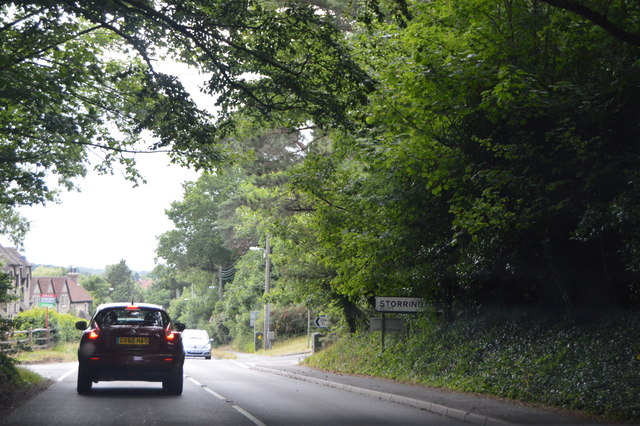
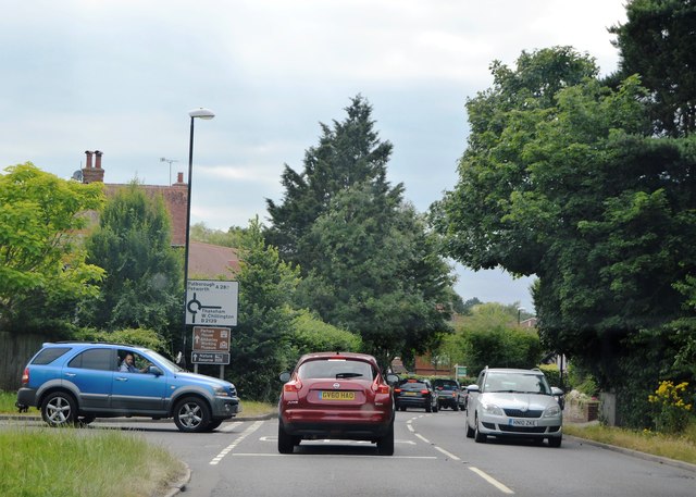
Longbury Hill Images

Images are sourced within 2km of 50.923097/-0.42147847 or Grid Reference TQ1114. Thanks to Geograph Open Source API. All images are credited.

Path near Rowdell The path descending from Rowdell is public footpath number 2697.
Path near Rowdell
The path descending from Rowdell is public footpath number 2697.
Junction of Washington Road and Sullington Lane with post box A view of the junction from the south is at <a title="https://www.geograph.org.uk/photo/3225098" href="https://www.geograph.org.uk/photo/3225098">Link</a>.
Junction of Washington Road and Sullington Lane with post box
A view of the junction from the south is at Link.
Road junction north of Washington Road
Footpath to Sullington Warren
Remains of the White Mill in Sullington Warren See <a href="https://www.geograph.org.uk/photo/28493">TQ0914 : White Mill Windshaft, Sullington Warren</a> which is the first geograph for this square.
See also <span class="nowrap"><a title="http://www.windmillworld.com/millid/2579.htm" rel="nofollow ugc noopener" href="http://www.windmillworld.com/millid/2579.htm">Link</a><img style="margin-left:2px;" alt="External link" title="External link - shift click to open in new window" src="https://s1.geograph.org.uk/img/external.png" width="10" height="10"/></span> although the grid reference here is wrong.
Remains of the White Mill in Sullington Warren
See TQ0914 : White Mill Windshaft, Sullington Warren which is the first geograph for this square. See also LinkExternal link although the grid reference here is wrong.
Path into Sullington Warren from Water Lane
Looking north on Water Lane
The southern end of Hillside Road
Champions Farm seen from footpath to the south
This building is marked on the OS map as "Northlands"
House on Northlands Lane
Path reaches the northern end of Water Lane The path used to be part of Water Lane but at some point was narrowed, stopping vehicular access between Water and Northlands Lanes.
See <a title="https://www.geograph.org.uk/photo/3568901" href="https://www.geograph.org.uk/photo/3568901">Link</a> for a view the other way.
Path reaches the northern end of Water Lane
The path used to be part of Water Lane but at some point was narrowed, stopping vehicular access between Water and Northlands Lanes. See Link for a view the other way.
A283 entrance to Storrington
Entering Storrington, A283 The A283 runs 37 miles from Milford near Guildford south to Shoreham-on-Sea across rural Surrey and West Sussex.
<span class="nowrap"><a title="https://www.sabre-roads.org.uk/wiki/index.php?title=A283" rel="nofollow ugc noopener" href="https://www.sabre-roads.org.uk/wiki/index.php?title=A283">Link</a><img style="margin-left:2px;" alt="External link" title="External link - shift click to open in new window" src="https://s1.geograph.org.uk/img/external.png" width="10" height="10"/></span>
Entering Storrington, A283
The A283 runs 37 miles from Milford near Guildford south to Shoreham-on-Sea across rural Surrey and West Sussex. LinkExternal link
Manley's Hill The A283 runs 37 miles from Milford near Guildford south to Shoreham-on-Sea across rural Surrey and West Sussex.
<span class="nowrap"><a title="https://www.sabre-roads.org.uk/wiki/index.php?title=A283" rel="nofollow ugc noopener" href="https://www.sabre-roads.org.uk/wiki/index.php?title=A283">Link</a><img style="margin-left:2px;" alt="External link" title="External link - shift click to open in new window" src="https://s1.geograph.org.uk/img/external.png" width="10" height="10"/></span>
Manley's Hill
The A283 runs 37 miles from Milford near Guildford south to Shoreham-on-Sea across rural Surrey and West Sussex. LinkExternal link
Washington Common
Washington Common
The Old Mill Once a family owned water mill this is now a hotel.
The Old Mill
Once a family owned water mill this is now a hotel.
East of Sullington Farmland East of Sullington
East of Sullington
Farmland East of Sullington
Show me another place!

Longbury Hill is located at Grid Ref: TQ1114 (Lat: 50.923097, Lng: -0.42147847)

Administrative County: West Sussex

District: Horsham

Police Authority: Sussex

What 3 Words

///effort.living.asked. Near Storrington, West Sussex

Related Wikis

Heath Common

Heath Common is a settlement in the Horsham District of West Sussex, England. It lies on the Storrington to Ashington road 1.5 miles (2.4 km) east of Storrington...

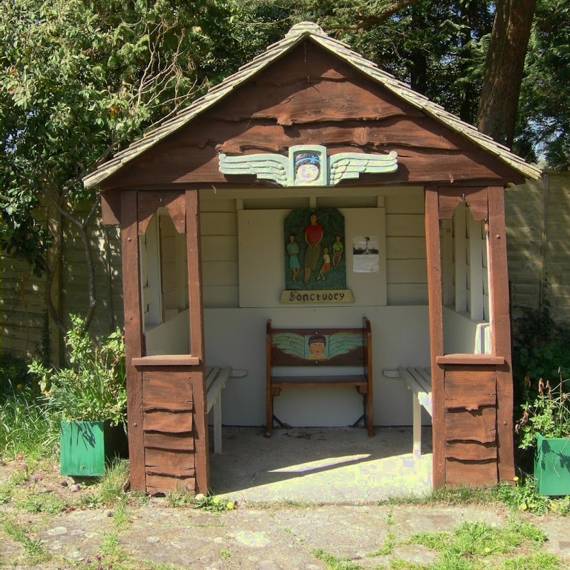
The Sanctuary (community)

The Sanctuary, near Storrington in West Sussex, England, was a utopian community which was founded in 1923 and lasted about a decade. == Founding and... ==
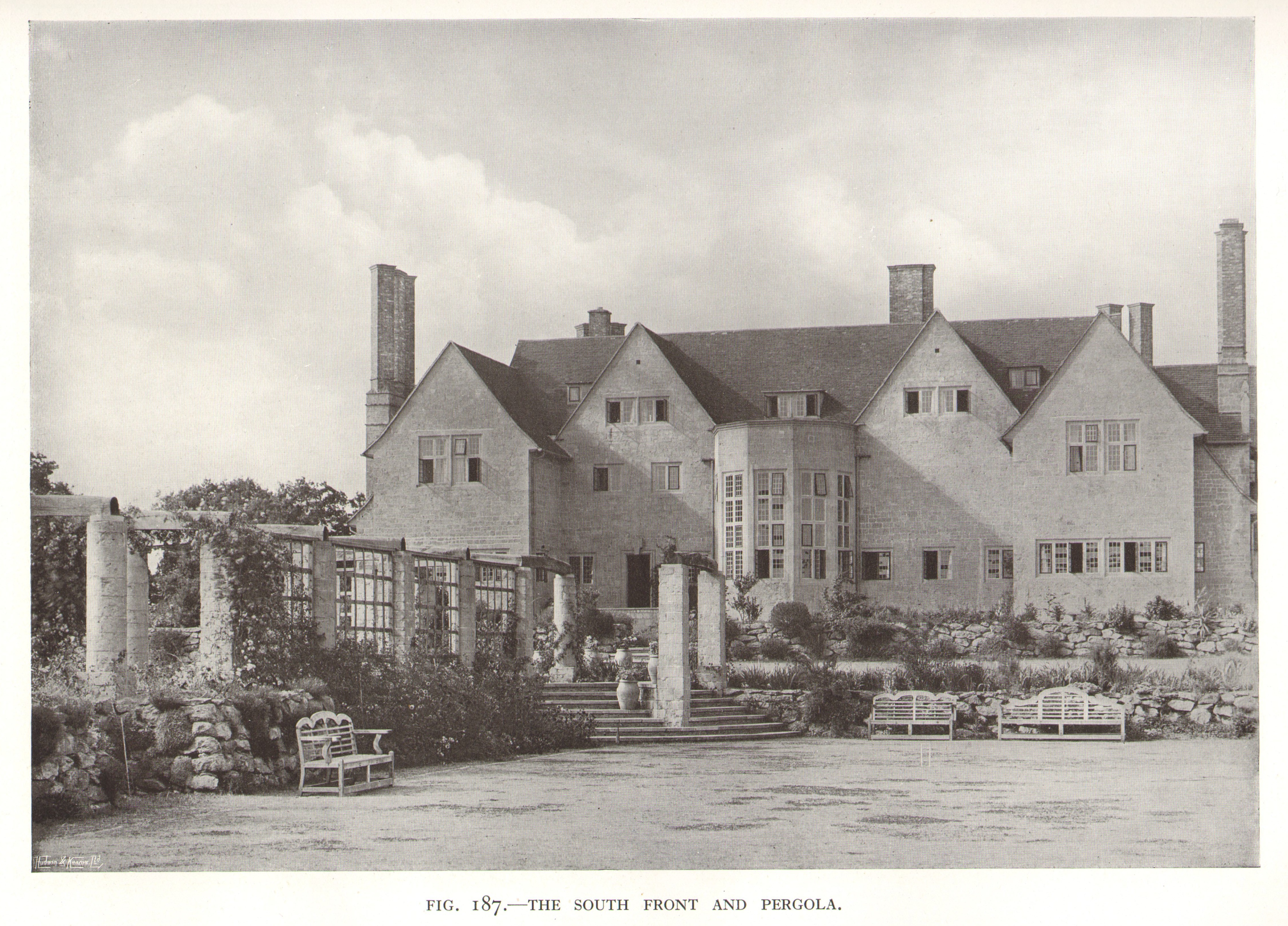
Little Thakeham

Little Thakeham is an Arts and Crafts style, Grade I listed private house in the parish of Thakeham, near the village of Storrington, in the Horsham district...

Rydon Community College

Rydon Community College was a maintained comprehensive middle-deemed-secondary school for pupils aged 10 to 13. The school was located just outside Storrington...

Sullington Warren

Sullington Warren is a 24.7-hectare (61-acre) biological Site of Special Scientific Interest in Storrington in West Sussex. The site includes several tumuli...

Chantry Mill

Chantry Mill is a 8.7-hectare (21-acre) geological Site of Special Scientific Interest in Storrington in West Sussex. It is a Geological Conservation Review...

Warminghurst

Warminghurst is a village and former civil parish, now in the parish of Thakeham, in the Horsham district of West Sussex, England. It lies on the Ashington...

Church of the Holy Sepulchre, Warminghurst

The Church of the Holy Sepulchre is a former Anglican church in the hamlet of Warminghurst in the district of Horsham, one of seven local government districts...

Nearby Amenities

Located within 500m of 50.923097,-0.42147847
Post Box
Operator: Royal Mail
Operator Wikidata: Q638098
Post Box Type: lamp
Ref: RH20 110D
Royal Cypher: EIIR
Royal Cypher Wikidata: Q33102113
Lat/Long: 50.9249858/-0.423494
Hiking: yes
Information: guidepost
Tourism: information
Lat/Long: 50.9204824/-0.4232258
Crossing
Lat/Long: 50.9202031/-0.4263767
Bohemia Cottages
Place: locality
Lat/Long: 50.9205191/-0.4174979
Fountain
Lat/Long: 50.9219507/-0.4220906
Longbury Hill
Place: locality
Lat/Long: 50.9230574/-0.4202391
The data included in this document is from www.openstreetmap.org. The data is made available under ODbL.

Have you been to Longbury Hill?

Leave your review of Longbury Hill below (or comments, questions and feedback).