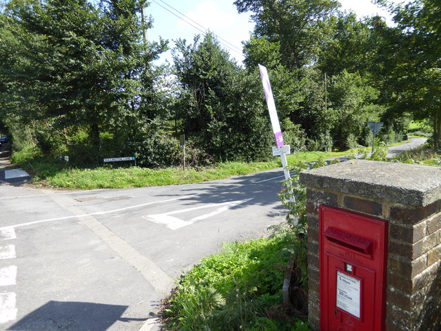
Heath Common

Wood, Forest in Sussex Horsham

England

Heath Common

The Parish Church of St Mary The church at Sullington is a Grade I listed building. For further details see <span class="nowrap"><a title="https://historicengland.org.uk/listing/the-list/list-entry/1354077" rel="nofollow ugc noopener" href="https://historicengland.org.uk/listing/the-list/list-entry/1354077">Link</a><img style="margin-left:2px;" alt="External link" title="External link - shift click to open in new window" src="https://s1.geograph.org.uk/img/external.png" width="10" height="10"/></span>
The Parish Church of St Mary Credit: Chris Thomas-Atkin

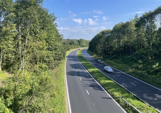
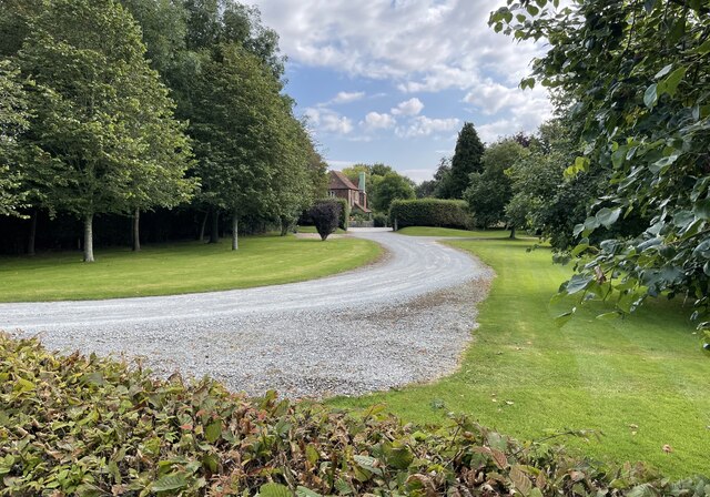
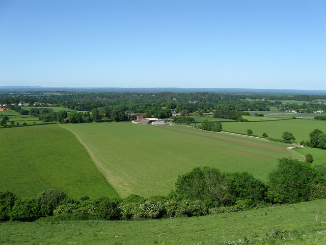
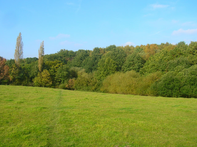
Heath Common, located in Sussex, is a picturesque woodland area known for its natural beauty and diverse ecosystem. Stretching across several acres, this common is an excellent example of a heathland habitat, characterized by open spaces and scattered trees.

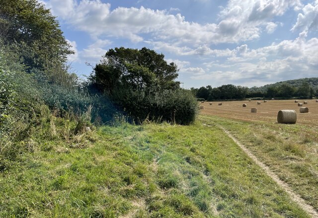
The common is predominantly covered by low-growing shrubs, heather, and grasses, providing a unique and colorful landscape throughout the year. In the summer months, the heather blooms, painting the common in shades of purple and pink, attracting various species of butterflies and bees. The area is also home to a variety of wildlife, including rabbits, foxes, and deer, making it a popular spot for nature enthusiasts and photographers.

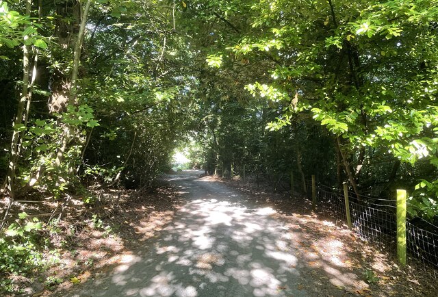
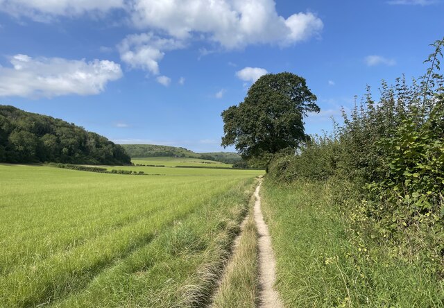
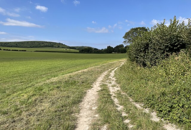
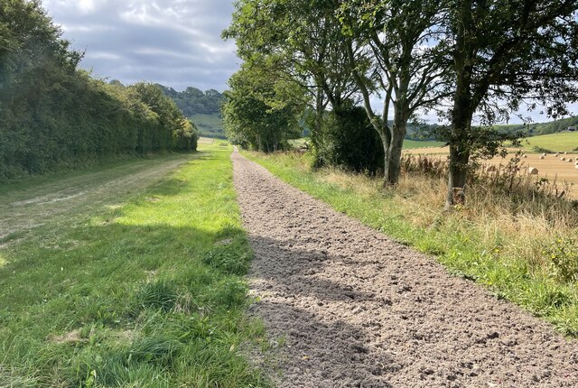
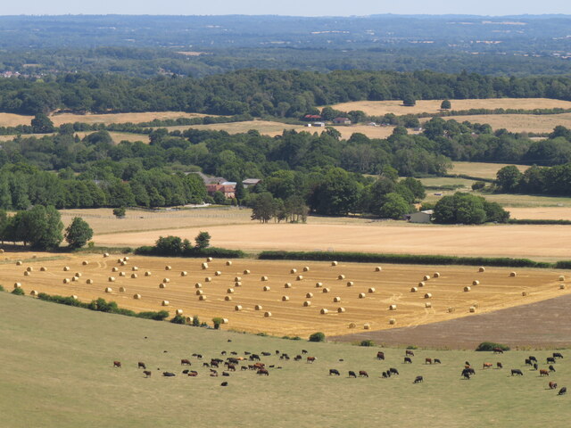
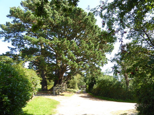
The woodland itself is primarily composed of native tree species, such as oak, birch, and pine, creating a diverse and vibrant forest environment. Walking trails wind their way through the common, allowing visitors to explore the area and take in the tranquil surroundings. These paths also provide access to several viewpoints that offer breathtaking panoramic views of the surrounding countryside.

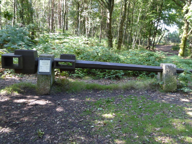
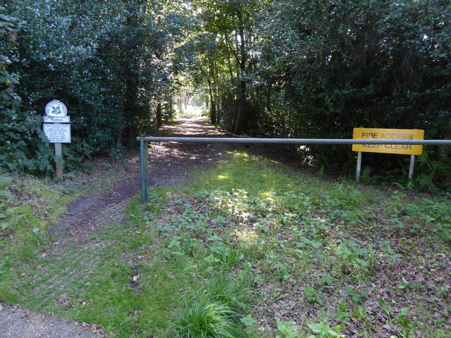
Heath Common is a designated Site of Special Scientific Interest (SSSI), recognized for its ecological importance and rare plant species. The common is actively managed to preserve its biodiversity and ensure the continued health of the ecosystem. Conservation efforts include controlled burns to regenerate heather growth and the removal of invasive plant species.

Overall, Heath Common in Sussex is a hidden gem, offering visitors the opportunity to immerse themselves in the beauty of nature. Whether it's a leisurely walk, birdwatching, or simply enjoying the peaceful ambiance, this woodland common is a delightful destination for all nature lovers.

If you have any feedback on the listing, please let us know in the comments section below.
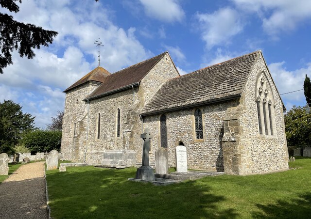
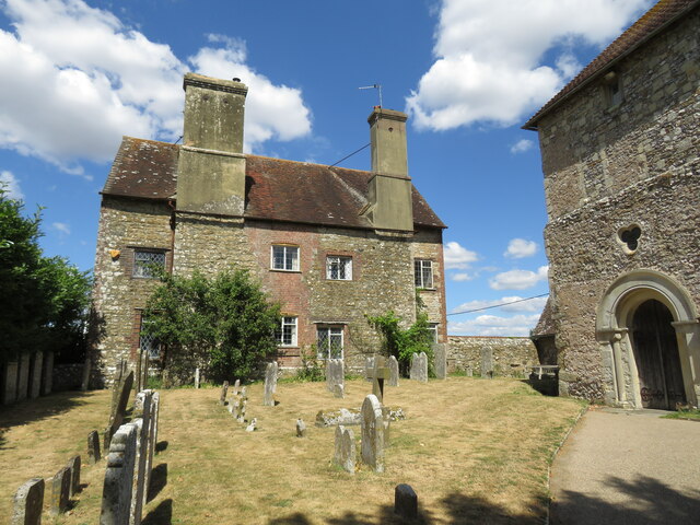
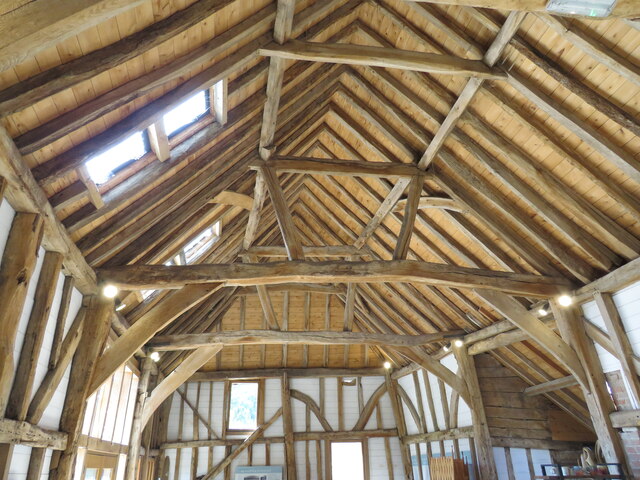
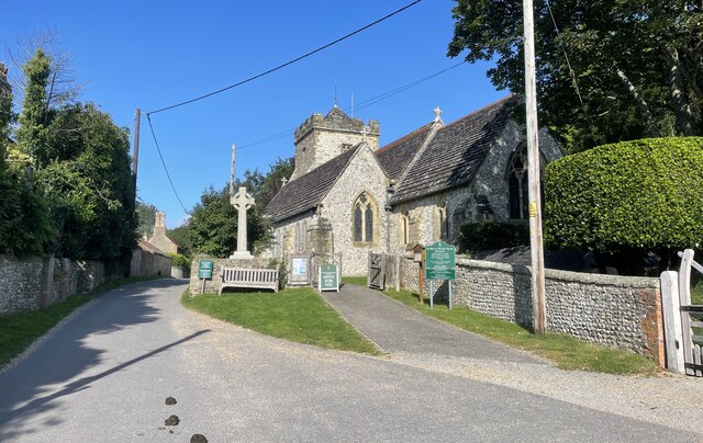
Heath Common Images

Images are sourced within 2km of 50.920514/-0.42059843 or Grid Reference TQ1114. Thanks to Geograph Open Source API. All images are credited.

The Parish Church of St Mary The church at Sullington is a Grade I listed building. For further details see <span class="nowrap"><a title="https://historicengland.org.uk/listing/the-list/list-entry/1354077" rel="nofollow ugc noopener" href="https://historicengland.org.uk/listing/the-list/list-entry/1354077">Link</a><img style="margin-left:2px;" alt="External link" title="External link - shift click to open in new window" src="https://s1.geograph.org.uk/img/external.png" width="10" height="10"/></span>
The Parish Church of St Mary
The church at Sullington is a Grade I listed building. For further details see LinkExternal link
Sullington Manor A patchwork of building materials from chalk, flint and brick, with the Church alongside
Sullington Manor
A patchwork of building materials from chalk, flint and brick, with the Church alongside
Sullington Manor Barn One of the finest barns in Sussex, now used as a heritage exhibition space and much -valued tea room
Sullington Manor Barn
One of the finest barns in Sussex, now used as a heritage exhibition space and much -valued tea room
The Parish Church of St Mary The church is a Grade II* (star) listed building. See <span class="nowrap"><a title="https://historicengland.org.uk/listing/the-list/list-entry/1027198" rel="nofollow ugc noopener" href="https://historicengland.org.uk/listing/the-list/list-entry/1027198">Link</a><img style="margin-left:2px;" alt="External link" title="External link - shift click to open in new window" src="https://s1.geograph.org.uk/img/external.png" width="10" height="10"/></span>
The Parish Church of St Mary
The church is a Grade II* (star) listed building. See LinkExternal link
The A24 Crossing the A24 on the bridge carrying public footpath number 2697.
The A24
Crossing the A24 on the bridge carrying public footpath number 2697.
Path near Rowdell The path descending from Rowdell is public footpath number 2697.
Path near Rowdell
The path descending from Rowdell is public footpath number 2697.
Path below the South Downs Heading west on path number 2665 towards Sullington.
Path below the South Downs
Heading west on path number 2665 towards Sullington.
Fields near Barns Farm Heading west towards Sullington on path number 2665.
Fields near Barns Farm
Heading west towards Sullington on path number 2665.
Barns Farm Barns Farm viewed from the passing public footpath.
Barns Farm
Barns Farm viewed from the passing public footpath.
Horse Gallops The Gallops head towards the South Downs.
Horse Gallops
The Gallops head towards the South Downs.
Path corner Path number 2665 technically heads round the field corner but in practice the worn path takes a more direct route.
Path corner
Path number 2665 technically heads round the field corner but in practice the worn path takes a more direct route.
Harvest scene above Barns Farm View from bridleway climbing up from Sullington
Harvest scene above Barns Farm
View from bridleway climbing up from Sullington
Junction of Washington Road and Sullington Lane with post box A view of the junction from the south is at <a title="https://www.geograph.org.uk/photo/3225098" href="https://www.geograph.org.uk/photo/3225098">Link</a>.
Junction of Washington Road and Sullington Lane with post box
A view of the junction from the south is at Link.
Road junction north of Washington Road
Footpath to Sullington Warren
Remains of the White Mill in Sullington Warren See <a href="https://www.geograph.org.uk/photo/28493">TQ0914 : White Mill Windshaft, Sullington Warren</a> which is the first geograph for this square.
See also <span class="nowrap"><a title="http://www.windmillworld.com/millid/2579.htm" rel="nofollow ugc noopener" href="http://www.windmillworld.com/millid/2579.htm">Link</a><img style="margin-left:2px;" alt="External link" title="External link - shift click to open in new window" src="https://s1.geograph.org.uk/img/external.png" width="10" height="10"/></span> although the grid reference here is wrong.
Remains of the White Mill in Sullington Warren
See TQ0914 : White Mill Windshaft, Sullington Warren which is the first geograph for this square. See also LinkExternal link although the grid reference here is wrong.
Path into Sullington Warren from Water Lane
Looking north on Water Lane
Show me another place!

Heath Common is located at Grid Ref: TQ1114 (Lat: 50.920514, Lng: -0.42059843)

Administrative County: West Sussex

District: Horsham

Police Authority: Sussex

What 3 Words

///catapult.classic.future. Near Washington, West Sussex

Related Wikis

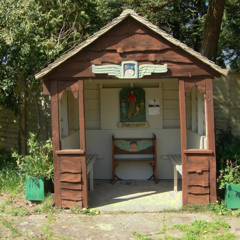
The Sanctuary (community)

The Sanctuary, near Storrington in West Sussex, England, was a utopian community which was founded in 1923 and lasted about a decade. == Founding and... ==
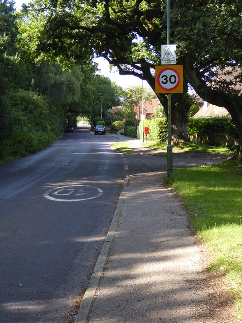
Heath Common

Heath Common is a settlement in the Horsham District of West Sussex, England. It lies on the Storrington to Ashington road 1.5 miles (2.4 km) east of Storrington...

Rydon Community College

Rydon Community College was a maintained comprehensive middle-deemed-secondary school for pupils aged 10 to 13. The school was located just outside Storrington...
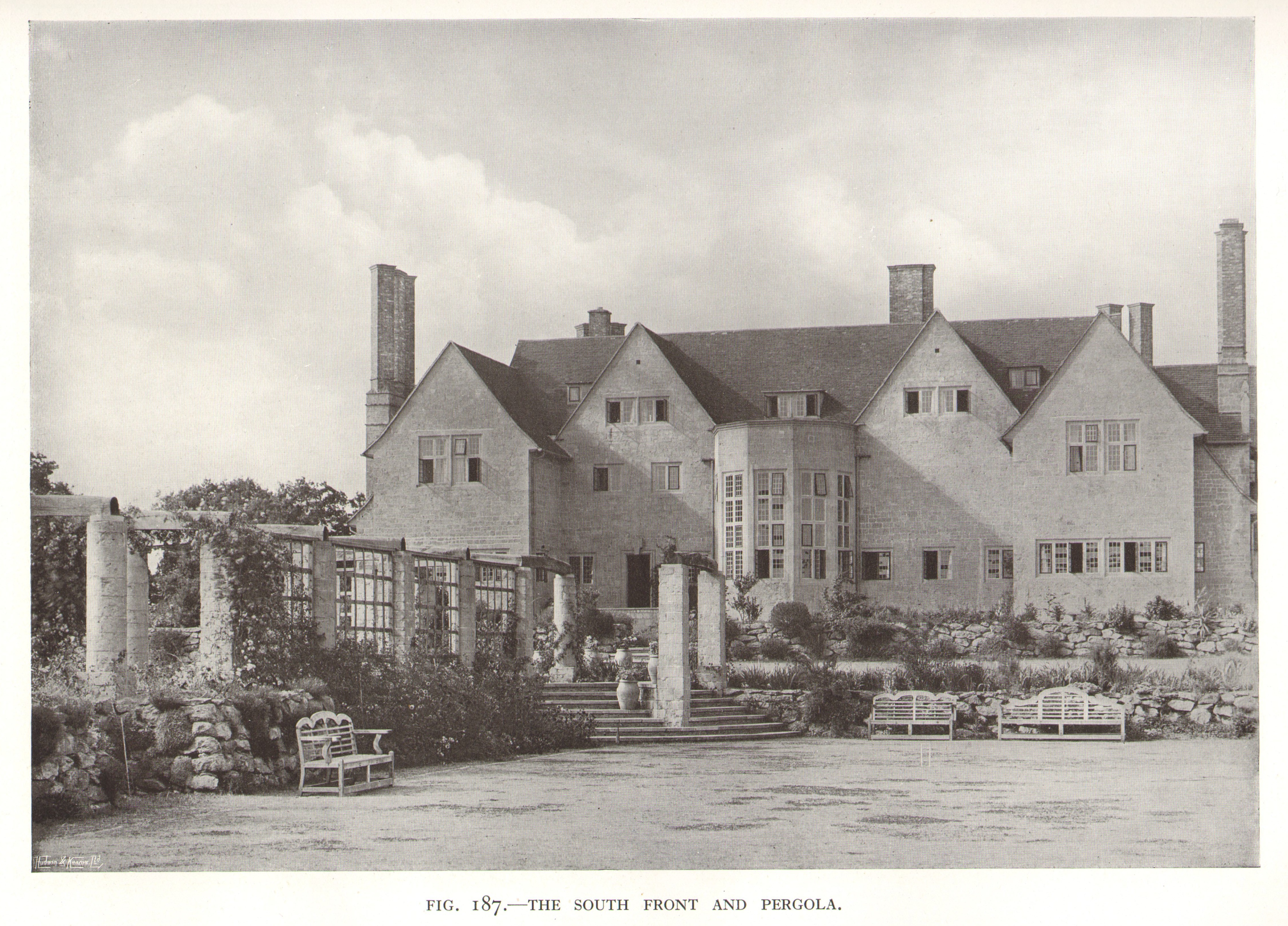
Little Thakeham

Little Thakeham is an Arts and Crafts style, Grade I listed private house in the parish of Thakeham, near the village of Storrington, in the Horsham district...

Sullington Warren

Sullington Warren is a 24.7-hectare (61-acre) biological Site of Special Scientific Interest in Storrington in West Sussex. The site includes several tumuli...

Chantry Mill

Chantry Mill is a 8.7-hectare (21-acre) geological Site of Special Scientific Interest in Storrington in West Sussex. It is a Geological Conservation Review...

Rock Mill, Washington

Rock Mill is a Grade II listed smock mill at Washington, West Sussex, England, which has been converted to residential use. == History == Rock Mill was...

Sullington

Sullington is a village and former civil parish, now in the parish of Storrington and Sullington, in the Horsham district of West Sussex, England. The...

Nearby Amenities

Located within 500m of 50.920514,-0.42059843
Barrier: yes
Lat/Long: 50.9186408/-0.4268723
Hiking: yes
Information: guidepost
Tourism: information
Lat/Long: 50.9204824/-0.4232258
Hiking: yes
Information: guidepost
Tourism: information
Lat/Long: 50.9169405/-0.4182909
Hiking: yes
Information: guidepost
Tourism: information
Lat/Long: 50.9168399/-0.4167496
Crossing
Lat/Long: 50.9202031/-0.4263767
Pigland
Place: locality
Lat/Long: 50.9169955/-0.4173659
Bohemia Cottages
Place: locality
Lat/Long: 50.9205191/-0.4174979
Fountain
Lat/Long: 50.9219507/-0.4220906
Longbury Hill
Place: locality
Lat/Long: 50.9230574/-0.4202391
The data included in this document is from www.openstreetmap.org. The data is made available under ODbL.

Have you been to Heath Common?

Leave your review of Heath Common below (or comments, questions and feedback).