Hall Plantation
Wood, Forest in Yorkshire Richmondshire
England
Hall Plantation

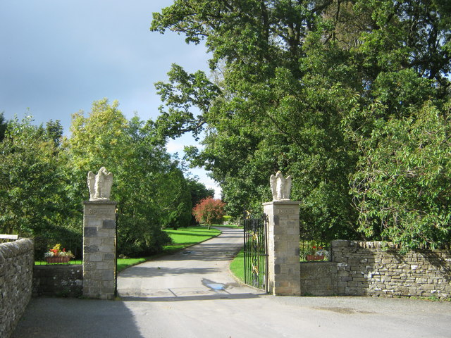
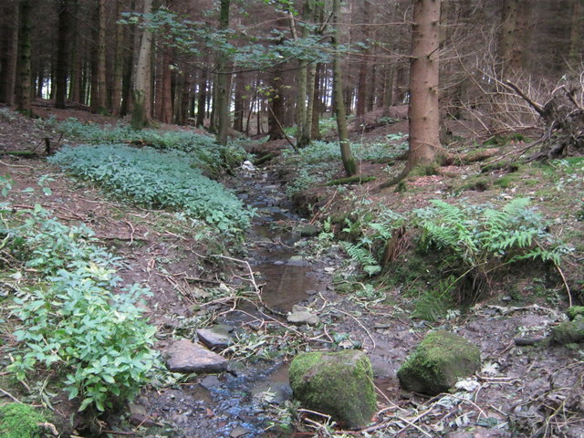
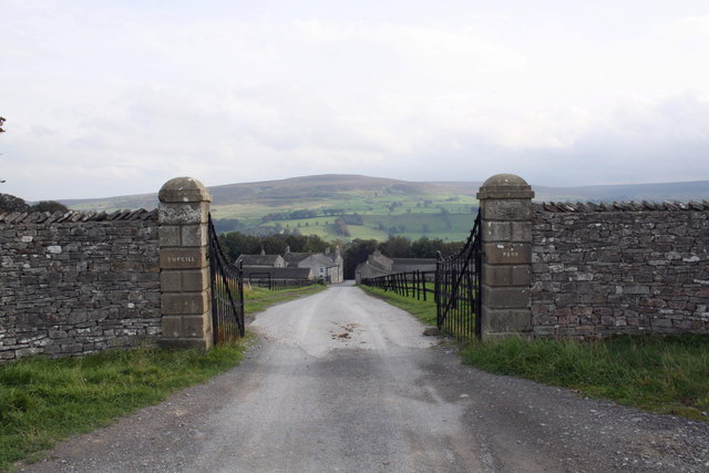
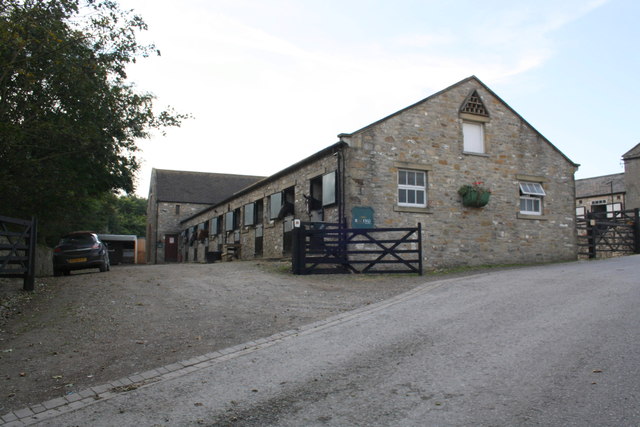
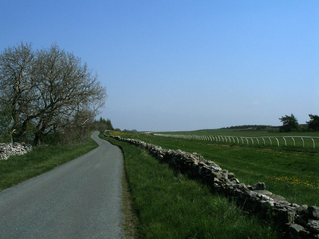
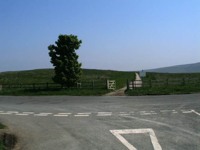
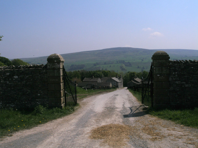
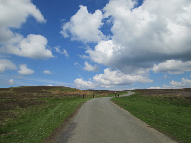
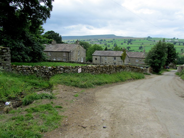
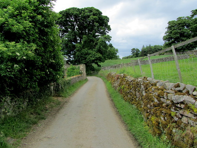
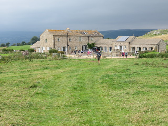
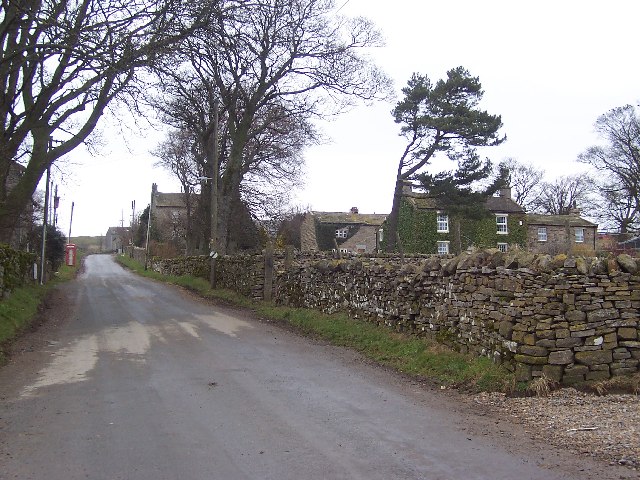
Hall Plantation is a picturesque woodland area located in the heart of Yorkshire, England. Spread across a vast expanse, the plantation is known for its dense forest and lush greenery. It offers visitors a serene and tranquil environment, making it a popular destination for nature lovers and those seeking an escape from the hustle and bustle of city life.
The plantation is home to a variety of tree species, including oak, beech, and birch, which create a diverse and vibrant ecosystem. The woodland floor is adorned with an array of wildflowers and ferns, adding to the enchanting atmosphere. It is not uncommon to spot a variety of wildlife within the plantation, such as deer, squirrels, and a wide range of bird species.
The plantation is also famous for its historical significance. It is believed to have been established during the medieval period and was originally used for timber production. Over the centuries, it has been carefully managed to preserve its natural beauty and ecological balance.
Visitors can explore the plantation through a network of well-maintained trails and footpaths, allowing them to fully immerse themselves in the natural surroundings. The plantation also offers facilities for outdoor activities such as hiking, birdwatching, and photography.
Overall, Hall Plantation in Yorkshire is a captivating destination that showcases the beauty of nature and offers a chance to experience the tranquility of a woodland setting.
If you have any feedback on the listing, please let us know in the comments section below.
Hall Plantation Images
Images are sourced within 2km of 54.273025/-1.8680896 or Grid Reference SE0886. Thanks to Geograph Open Source API. All images are credited.


Hall Plantation is located at Grid Ref: SE0886 (Lat: 54.273025, Lng: -1.8680896)
Division: North Riding
Administrative County: North Yorkshire
District: Richmondshire
Police Authority: North Yorkshire
What 3 Words
///nibbled.should.cooks. Near Leyburn, North Yorkshire
Nearby Locations
Related Wikis

Agglethorpe
Agglethorpe is a hamlet in the Richmondshire district of North Yorkshire, England, it lies in northern Coverdale, approximately 4 miles (6.4 km) south...

Coverham with Agglethorpe
Coverham with Agglethorpe is a civil parish in North Yorkshire, England. It includes the villages of Coverham and Agglethorpe. The population of the civil...

Forbidden Corner
The Forbidden Corner is a folly garden located in the Tupgill Park Estate, at Coverham in Coverdale, in the Yorkshire Dales National Park. It is open to...

Caldbergh with East Scrafton
Caldbergh with East Scrafton is a civil parish in the Richmondshire district of North Yorkshire, England. The parish includes the settlements of Caldbergh...

Caldbergh
Caldbergh (Caldeber in the Domesday Book) is a hamlet within the Yorkshire Dales, North Yorkshire, England. It lies about four miles south of Leyburn....
Melmerby in Coverdale
Melmerby is a village and civil parish in North Yorkshire, England. It lies in Coverdale in the Yorkshire Dales about 3 miles (4.8 km) south-west of Leyburn...

Holy Trinity Church, Coverham
Holy Trinity Church is a redundant Anglican church in the village of Coverham, North Yorkshire, England. It is recorded in the National Heritage List...

East Scrafton
East Scrafton is a hamlet in the Yorkshire Dales in the Richmondshire district of North Yorkshire, England. It is about 3 miles (5 km) south-west of Leyburn...
Nearby Amenities
Located within 500m of 54.273025,-1.8680896Have you been to Hall Plantation?
Leave your review of Hall Plantation below (or comments, questions and feedback).