Beckwith Head Plantation

Wood, Forest in Yorkshire Richmondshire

England

Beckwith Head Plantation

Field gate for footpath to Caldbergh
Field gate for footpath to Caldbergh Credit: peter robinson

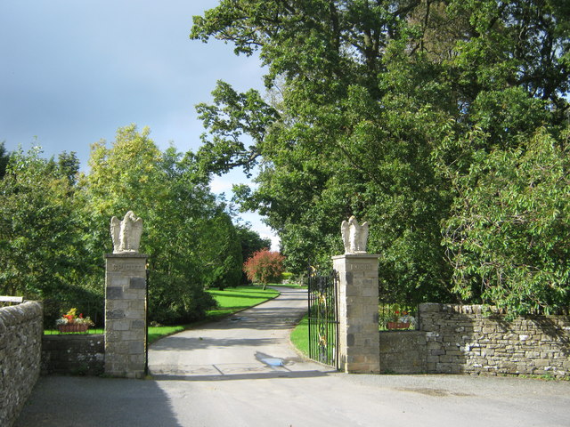
Beckwith Head Plantation is a picturesque woodland area located in Yorkshire, England. Situated near the town of Beckwithshaw, it covers a vast expanse of approximately 200 acres. The plantation is part of the larger Nidderdale Area of Outstanding Natural Beauty, renowned for its stunning landscapes and rich biodiversity.

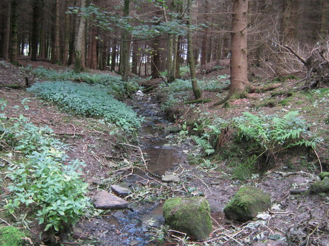
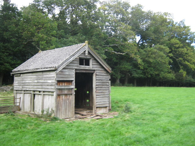
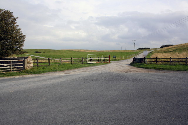
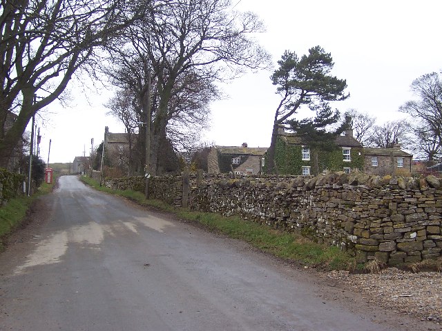
The woodland is predominantly composed of native broadleaf trees, including oak, beech, and birch, which create a dense and lush canopy. The undergrowth is adorned with an array of wildflowers, ferns, and mosses, adding to the area's natural beauty. A network of well-maintained footpaths and trails crisscross the plantation, allowing visitors to explore and immerse themselves in the tranquil surroundings.

Beckwith Head Plantation is not only a haven for nature enthusiasts but also provides vital habitat for a diverse range of wildlife. The woodland supports a variety of bird species, such as woodpeckers, thrushes, and finches, which can be observed and heard throughout the year. Small mammals, including squirrels, rabbits, and hedgehogs, find shelter and sustenance within the plantation.

The conservation efforts in the area ensure the preservation of the woodland's ecological integrity. The management practices focus on maintaining a healthy balance between human enjoyment and environmental sustainability. Local authorities organize educational programs and guided walks to promote awareness about the importance of woodlands and their role in the ecosystem.

Beckwith Head Plantation offers a serene escape from the hustle and bustle of urban life, providing visitors with the opportunity to connect with nature and appreciate the beauty of Yorkshire's woodlands.

If you have any feedback on the listing, please let us know in the comments section below.

Beckwith Head Plantation Images

Images are sourced within 2km of 54.275777/-1.8693248 or Grid Reference SE0886. Thanks to Geograph Open Source API. All images are credited.

Field gate for footpath to Caldbergh
Footpath through pasture to Caldbergh in Coverham
Bird Ridding Lane in Coverdale
Green's Beck in Coverham
Entrance drive to Spigot Lodge, Coverham
Unnamed watercourse in Millers Gill Plantation
Derelict hut north of Millers Gill Plantation
Benchmark on barn at Penhill Farm Ordnance Survey cut mark benchmark described on the Bench Mark Database at <span class="nowrap"><a title="http://www.bench-marks.org.uk/bm39663" rel="nofollow ugc noopener" href="http://www.bench-marks.org.uk/bm39663">Link</a><img style="margin-left:2px;" alt="External link" title="External link - shift click to open in new window" src="https://s1.geograph.org.uk/img/external.png" width="10" height="10"/></span>
Benchmark on barn at Penhill Farm
Ordnance Survey cut mark benchmark described on the Bench Mark Database at LinkExternal link
Penhill Farm The barn has an OS benchmark <a href="https://www.geograph.org.uk/photo/2634611">SE0687 : Benchmark on barn at Penhill Farm</a> on the angle facing the camera
Penhill Farm
The barn has an OS benchmark SE0687 : Benchmark on barn at Penhill Farm on the angle facing the camera
Benchmark on gatepost south of Penhill Farm Ordnance Survey cut mark benchmark described on the Bench Mark Database at <span class="nowrap"><a title="http://www.bench-marks.org.uk/bm39664" rel="nofollow ugc noopener" href="http://www.bench-marks.org.uk/bm39664">Link</a><img style="margin-left:2px;" alt="External link" title="External link - shift click to open in new window" src="https://s1.geograph.org.uk/img/external.png" width="10" height="10"/></span>
Benchmark on gatepost south of Penhill Farm
Ordnance Survey cut mark benchmark described on the Bench Mark Database at LinkExternal link
View through gateway of Penhill Park The left hand side gatepost has an OS benchmark <a href="https://www.geograph.org.uk/photo/2634722">SE0687 : Benchmark on gatepost south of Penhill Farm</a>
View through gateway of Penhill Park
The left hand side gatepost has an OS benchmark SE0687 : Benchmark on gatepost south of Penhill Farm
Benchmark on roadside wall Middleham High Moor Ordnance Survey cut mark benchmark described on the Bench Mark Database at <span class="nowrap"><a title="http://www.bench-marks.org.uk/bm39665" rel="nofollow ugc noopener" href="http://www.bench-marks.org.uk/bm39665">Link</a><img style="margin-left:2px;" alt="External link" title="External link - shift click to open in new window" src="https://s1.geograph.org.uk/img/external.png" width="10" height="10"/></span>
Benchmark on roadside wall Middleham High Moor
Ordnance Survey cut mark benchmark described on the Bench Mark Database at LinkExternal link
Dry stone wall and road at western edge of Middleham High Moor On the right side of the road are gallops fences.
Dry stone wall and road at western edge of Middleham High Moor
On the right side of the road are gallops fences.
Benchmark on wall near Wraykeld Well Ordnance Survey rivet benchmark described on the Bench Mark Database at <span class="nowrap"><a title="http://www.bench-marks.org.uk/bm39666" rel="nofollow ugc noopener" href="http://www.bench-marks.org.uk/bm39666">Link</a><img style="margin-left:2px;" alt="External link" title="External link - shift click to open in new window" src="https://s1.geograph.org.uk/img/external.png" width="10" height="10"/></span>
Benchmark on wall near Wraykeld Well
Ordnance Survey rivet benchmark described on the Bench Mark Database at LinkExternal link
View north at start of footpath to Carlton There is an OS benchmark <a href="https://www.geograph.org.uk/photo/2634807">SE0686 : Benchmark on wall near Wraykeld Well</a> on the wall angle to left of cattle grid gate
View north at start of footpath to Carlton
There is an OS benchmark SE0686 : Benchmark on wall near Wraykeld Well on the wall angle to left of cattle grid gate
Benchmark at entrance to Gale Bank Farm Ordnance Survey cut mark benchmark described on the Bench Mark Database at <span class="nowrap"><a title="http://www.bench-marks.org.uk/bm39648" rel="nofollow ugc noopener" href="http://www.bench-marks.org.uk/bm39648">Link</a><img style="margin-left:2px;" alt="External link" title="External link - shift click to open in new window" src="https://s1.geograph.org.uk/img/external.png" width="10" height="10"/></span>
Benchmark at entrance to Gale Bank Farm
Ordnance Survey cut mark benchmark described on the Bench Mark Database at LinkExternal link
Access road to Gale Bank Farm from Gale Bank There is an OS benchmark <a href="https://www.geograph.org.uk/photo/2772073">SE0988 : Benchmark at entrance to Gale Bank Farm</a> on the wallon the left hand side of the photo.
Access road to Gale Bank Farm from Gale Bank
There is an OS benchmark SE0988 : Benchmark at entrance to Gale Bank Farm on the wallon the left hand side of the photo.
Roads at Middleham Low Moor near Spigot Lodge
Show me another place!

Beckwith Head Plantation is located at Grid Ref: SE0886 (Lat: 54.275777, Lng: -1.8693248)

Division: North Riding

Administrative County: North Yorkshire

District: Richmondshire

Police Authority: North Yorkshire

What 3 Words

///neutron.certainly.clutches. Near Leyburn, North Yorkshire

Related Wikis

Coverham with Agglethorpe

Coverham with Agglethorpe is a civil parish in North Yorkshire, England. It includes the villages of Coverham and Agglethorpe. The population of the civil...

Agglethorpe

Agglethorpe is a hamlet in the Richmondshire district of North Yorkshire, England, it lies in northern Coverdale, approximately 4 miles (6.4 km) south...

Forbidden Corner

The Forbidden Corner is a folly garden located in the Tupgill Park Estate, at Coverham in Coverdale, in the Yorkshire Dales National Park. It is open to...

The Mount, North Yorkshire

The Mount, or Polly Peachum's Tower, is a hunting tower near Wensley and about a mile south-east of Bolton Hall, in North Yorkshire, England. It is a Grade...

Caldbergh with East Scrafton

Caldbergh with East Scrafton is a civil parish in the Richmondshire district of North Yorkshire, England. The parish includes the settlements of Caldbergh...

Caldbergh

Caldbergh (Caldeber in the Domesday Book) is a hamlet within the Yorkshire Dales, North Yorkshire, England. It lies about four miles south of Leyburn....

Melmerby in Coverdale

Melmerby is a village and civil parish in North Yorkshire, England. It lies in Coverdale in the Yorkshire Dales about 3 miles (4.8 km) south-west of Leyburn...

Holy Trinity Church, Coverham

Holy Trinity Church is a redundant Anglican church in the village of Coverham, North Yorkshire, England. It is recorded in the National Heritage List...

Nearby Amenities

Located within 500m of 54.275777,-1.8693248
Agglethorpe
Place: hamlet
Source: OS 1:25k
Wikidata: Q4692226
Lat/Long: 54.2735273/-1.8672884
Ken Gill Farm
Place: farm
Lat/Long: 54.2744505/-1.8684763
The data included in this document is from www.openstreetmap.org. The data is made available under ODbL.

Have you been to Beckwith Head Plantation?

Leave your review of Beckwith Head Plantation below (or comments, questions and feedback).