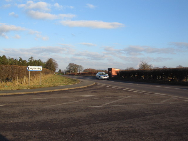
Aglionby

Settlement in Cumberland Carlisle

England

Aglionby

Rose Hill Impressive country house on the A69 at Rose Hill. On the outskirts of Carlisle.
Rose Hill Credit: Roger May

Aglionby is a small village located in the district of Carlisle, in the county of Cumberland, England. Situated just 3 miles south-east of the city center, Aglionby is nestled amidst picturesque countryside, making it an idyllic rural retreat.

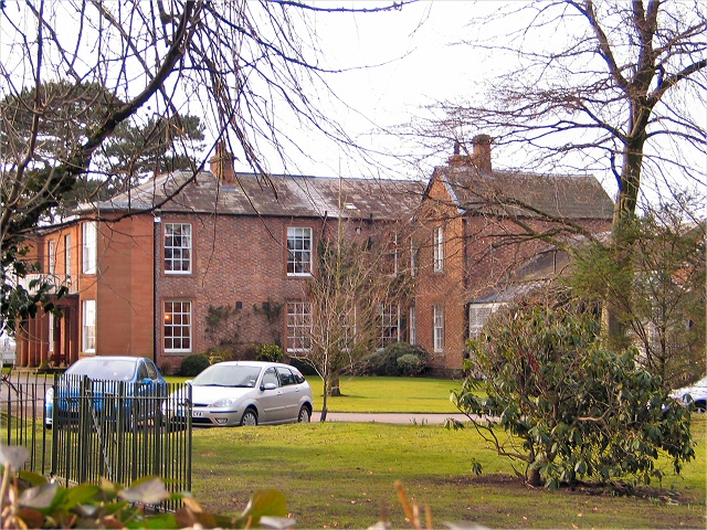
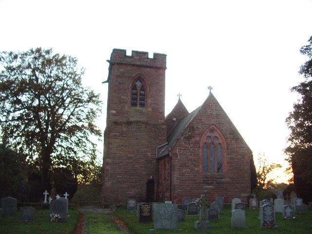
The village can trace its history back to Roman times, with evidence of Roman settlement found in the area. Today, Aglionby is a charming residential community, known for its peaceful atmosphere and close-knit community spirit. The village is characterized by its traditional stone-built houses and well-manicured gardens, which add to its overall aesthetic appeal.

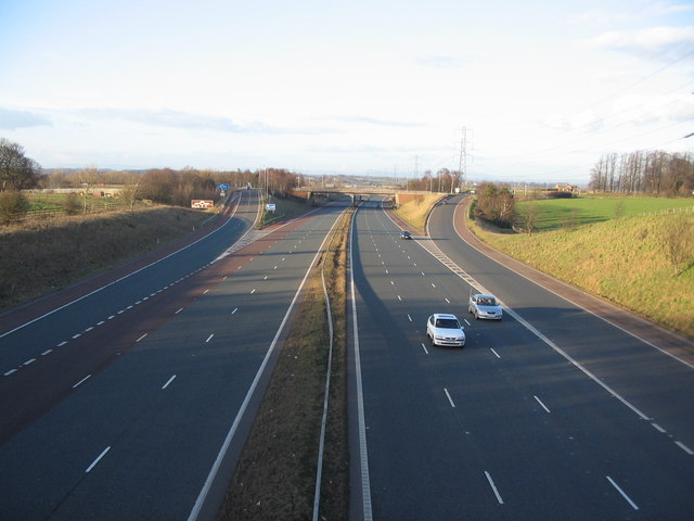
Aglionby benefits from its proximity to Carlisle, with its residents having easy access to the city's amenities and services. The village is served by a reliable public transportation system, ensuring convenient travel to and from the city center. Additionally, there are several local shops and amenities within the village itself, providing residents with their daily necessities.

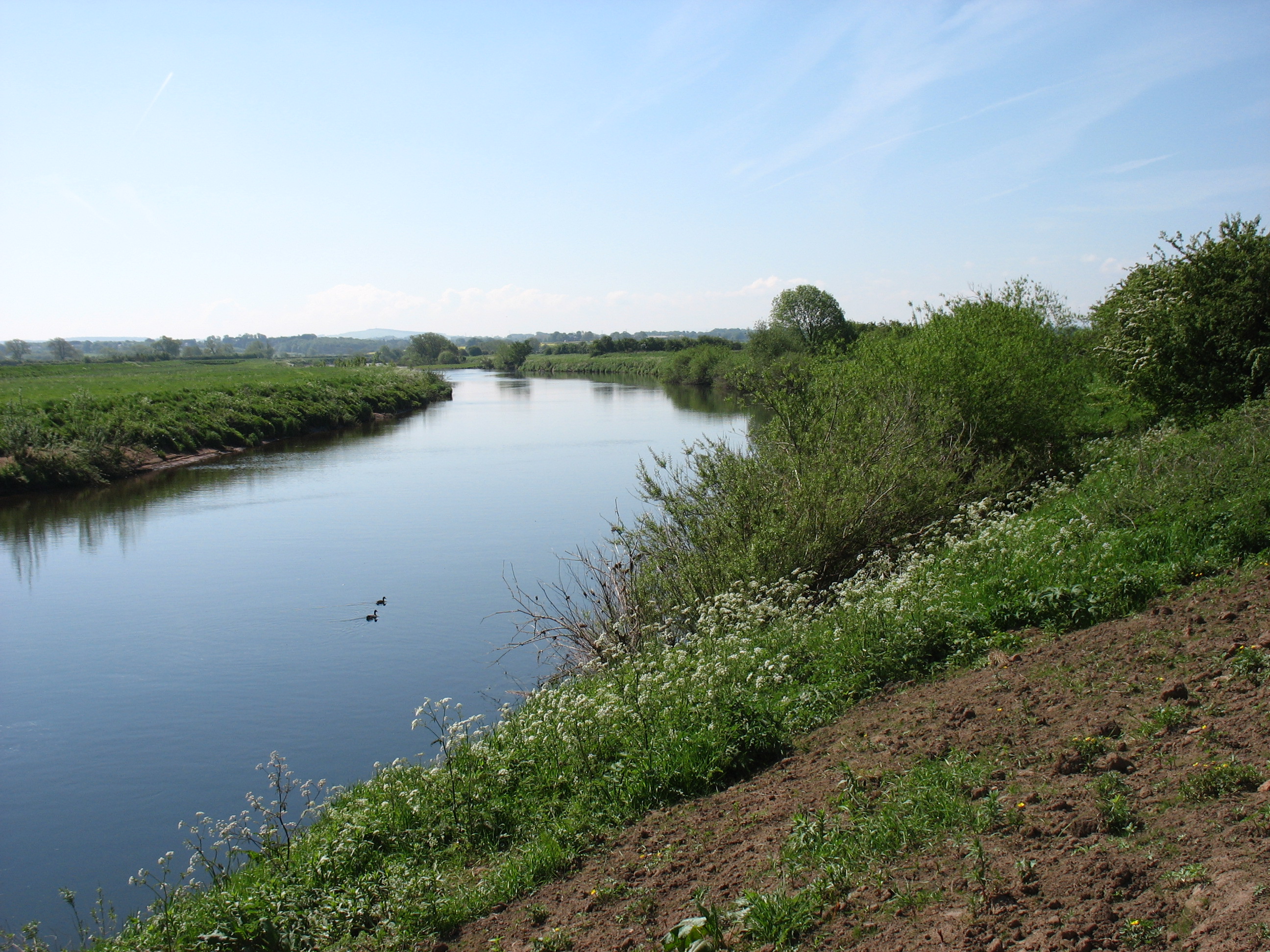
The surrounding countryside offers ample opportunities for outdoor activities, with beautiful walking trails and cycling routes nearby. The nearby River Eden also provides a tranquil spot for fishing enthusiasts. Aglionby's location also allows for easy exploration of the wider Cumberland region, with its stunning landscapes, historical sites, and cultural attractions.

Overall, Aglionby offers a peaceful and picturesque setting for those seeking a tranquil village lifestyle, with the added convenience of nearby urban amenities.

If you have any feedback on the listing, please let us know in the comments section below.
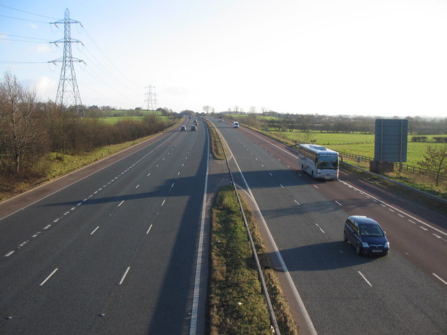
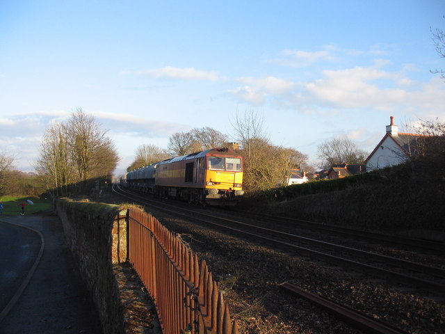
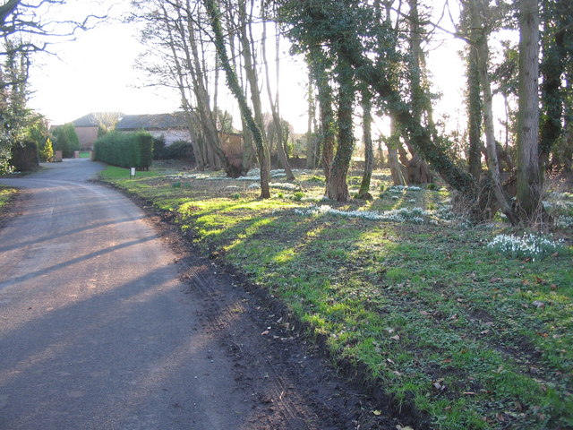
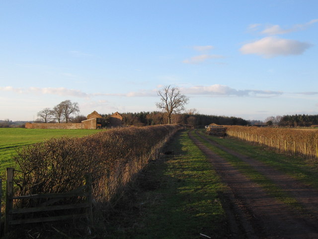
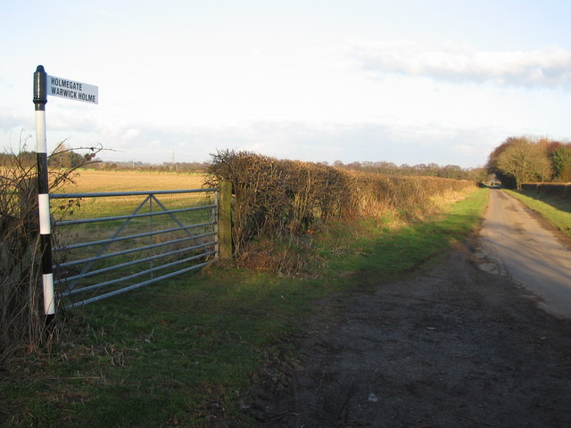
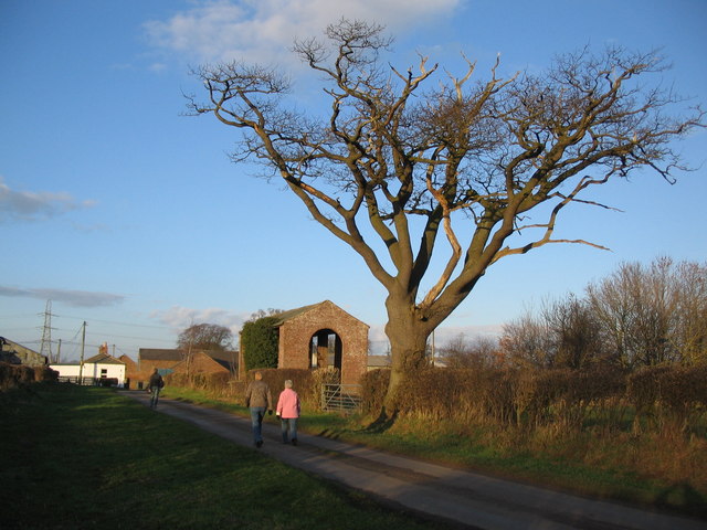
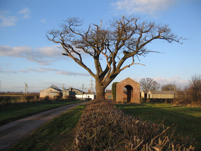
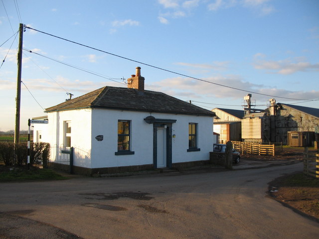
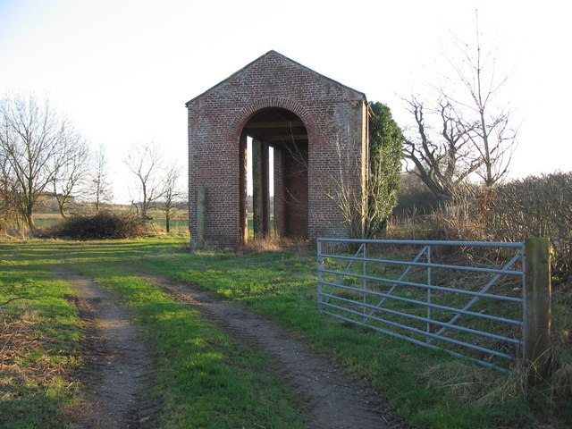
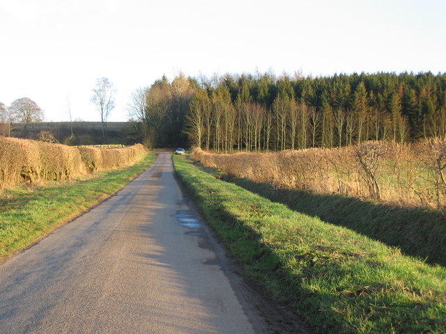
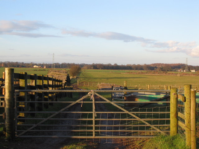
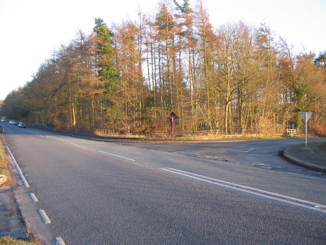
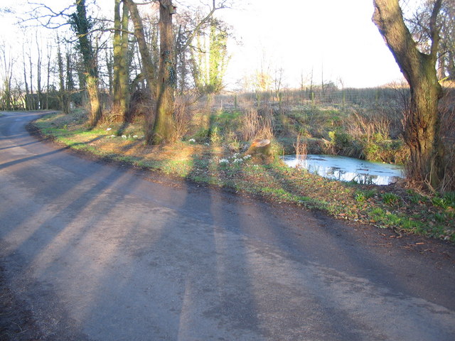
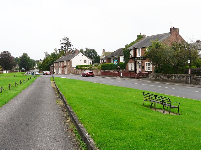
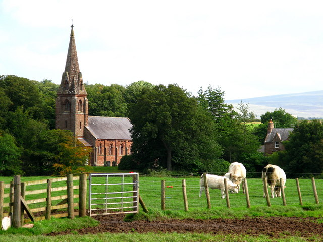
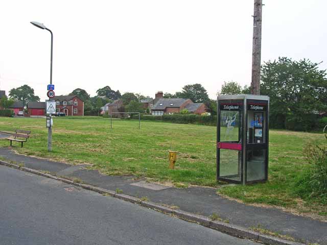
Aglionby Images

Images are sourced within 2km of 54.90124/-2.865459 or Grid Reference NY4456. Thanks to Geograph Open Source API. All images are credited.

Rose Hill Impressive country house on the A69 at Rose Hill. On the outskirts of Carlisle.
Rose Hill
Impressive country house on the A69 at Rose Hill. On the outskirts of Carlisle.
All Saints Church, Scotby
Triangulation pillar, Weatheral Beside a road coming in from the north.
Triangulation pillar, Weatheral
Beside a road coming in from the north.
M6 Junction 43 A view looking north along the M6 motorway towards junction 43.
M6 Junction 43
A view looking north along the M6 motorway towards junction 43.
The M6 south of junction 43 A view looking to the south along the M6 from the overbridge to the south of junction 43.
The M6 south of junction 43
A view looking to the south along the M6 from the overbridge to the south of junction 43.
Railway at Scotby A view looking to the east along the railway track at Scotby as a freight train passes on its way to Carlisle.
Railway at Scotby
A view looking to the east along the railway track at Scotby as a freight train passes on its way to Carlisle.
Turning for Aglionby A view looking to the east along the A69 at the junction with the lane to Aglionby.
Turning for Aglionby
A view looking to the east along the A69 at the junction with the lane to Aglionby.
Snowdrops at  Aglionby A view looking to the southwest along the lane through Aglionby, towards a clump of snowdrops illuminated by the late afternoon sun.
Snowdrops at Aglionby
A view looking to the southwest along the lane through Aglionby, towards a clump of snowdrops illuminated by the late afternoon sun.
Pond at Aglionby A view looking to the northeast across the lane through Aglionby towards a small pond.
Pond at Aglionby
A view looking to the northeast across the lane through Aglionby towards a small pond.
Track to Strickland A view looking to the northwest along the track to Strickland, the derelict building on the left.
Track to Strickland
A view looking to the northwest along the track to Strickland, the derelict building on the left.
Lane to Holmegate A view looking to the northeast along the lane to Holmegate.
Lane to Holmegate
A view looking to the northeast along the lane to Holmegate.
Approaching Holme Gate A view looking north along the lane from Aglionby, approaching Holme Gate.
Approaching Holme Gate
A view looking north along the lane from Aglionby, approaching Holme Gate.
Barn at Holme Gate A view looking to the north towards a barn at Holme Gate.
Barn at Holme Gate
A view looking to the north towards a barn at Holme Gate.
Holme Gate Cottage A view looking to the northwest towards Holme Gate Cottage.
Holme Gate Cottage
A view looking to the northwest towards Holme Gate Cottage.
Tall barn at Holme Gate A view looking to the south towards a tall barn at Holme Gate.
Tall barn at Holme Gate
A view looking to the south towards a tall barn at Holme Gate.
Lane to Warwick-on-Eden A view looking to the southeast along the lane from Holme Gate to Warwick-on-Eden, towards a small plantation.
Lane to Warwick-on-Eden
A view looking to the southeast along the lane from Holme Gate to Warwick-on-Eden, towards a small plantation.
Farmland on the Eden floodplain A view looking to the north across a sheepfold on farmland on the floodplain of the River Eden.
Farmland on the Eden floodplain
A view looking to the north across a sheepfold on farmland on the floodplain of the River Eden.
Junction for Wetheral A view looking to the southeast across the A69 towards the crucifix at the junction with the lane to Wetheral.
Junction for Wetheral
A view looking to the southeast across the A69 towards the crucifix at the junction with the lane to Wetheral.
Show me another place!

Aglionby is located at Grid Ref: NY4456 (Lat: 54.90124, Lng: -2.865459)

Administrative County: Cumbria

District: Carlisle

Police Authority: Cumbria

What 3 Words

///returns.lonely.skid. Near Scotby, Cumbria

Nearby Locations

Aglionby Whooff Wood

Related Wikis

Aglionby, Cumbria

Aglionby is a village in Cumbria, England. Aglionby lies within the civil parish of Wetheral and thus forms part of the district administered as the City...

Scotby

Scotby is a village in the Cumberland unitary authority area of Cumbria, England. It is separated from Carlisle by the M6 motorway, and it is close to...

Warwick-on-Eden

Warwick-on-Eden is a small village and (as just Warwick) a former civil parish, now in the parish of Wetheral, in the Carlisle district of the county of...

Warwick Hall

Warwick Hall is a large country house located on the banks of the River Eden at Warwick-on-Eden in Cumbria, England, United Kingdom. == History == The...

Linstock, Cumbria

Linstock is a village in the civil parish of Stanwix Rural, in the Carlisle District, in the county of Cumbria, England. It is a few miles away from the...

Park Broom

Park Broom is a hamlet in the civil parish of Stanwix Rural, in the Carlisle district, in the county of Cumbria, England. It is a few miles away from the...

Holme Eden Abbey

Holme Eden Abbey was an abbey in Cumbria, England. The current building (built 1833–37) is a Grade II* listed building. == History == It was designed in...

Wetheral railway station

Wetheral is a railway station on the Tyne Valley Line, which runs between Newcastle and Carlisle via Hexham. The station, situated 4 miles 7 chains (4...

Nearby Amenities

Located within 500m of 54.90124,-2.865459
Bus Stop
Road End (W bound)
Naptan AtcoCode: 090033441700
Naptan Bearing: W
Naptan CommonName: Road End (W bound)
Naptan Indicator: near
Naptan Landmark: junction for Aglionby
Naptan NaptanCode: cumatgpm
Naptan Street: A69
Naptan Verified: no
Source: naptan_import
Lat/Long: 54.8987679/-2.8636844
Road End (E bound)
Local Ref: AT
Naptan AtcoCode: 090033443631
Naptan Bearing: E
Naptan BusStopType: CUS
Naptan CommonName: Road End (E bound)
Naptan Indicator: at
Naptan Landmark: road end
Naptan NaptanCode: cumatjpd
Naptan Street: A69(T)
Naptan Verified: no
Source: naptan_import
Lat/Long: 54.8987883/-2.8646049
Post Box
Ref: CA4 27
Lat/Long: 54.9007509/-2.8627307
Power: pole
Lat/Long: 54.9000145/-2.8674273
Power: pole
Lat/Long: 54.9007981/-2.8671533
Power: pole
Lat/Long: 54.9015942/-2.8668597
Power: pole
Lat/Long: 54.9026014/-2.8665221
Power: pole
Lat/Long: 54.9037281/-2.8661037
Power: pole
Lat/Long: 54.9044159/-2.8658542
Power: pole
Lat/Long: 54.9053287/-2.8655653
Power: pole
Lat/Long: 54.9049715/-2.8666175
Power: pole
Lat/Long: 54.9046283/-2.8676793
The data included in this document is from www.openstreetmap.org. The data is made available under ODbL.

Have you been to Aglionby?

Leave your review of Aglionby below (or comments, questions and feedback).