Whooff Wood

Wood, Forest in Cumberland Carlisle

England

Whooff Wood

Rose Hill Impressive country house on the A69 at Rose Hill. On the outskirts of Carlisle.
Rose Hill Credit: Roger May

Whooff Wood is a picturesque forest located in Cumberland, England. Situated amidst the scenic beauty of the Lake District National Park, it covers an area of approximately 500 acres. The wood is renowned for its ancient trees, rich biodiversity, and tranquil atmosphere, making it a popular destination for nature enthusiasts and hikers.

The forest is predominantly composed of deciduous trees, such as oak, beech, and ash, which provide a vibrant display of colors during autumn. Towering tree canopies create a shaded environment, perfect for a leisurely stroll or a peaceful picnic. The forest floor is covered with a carpet of wildflowers, adding to the charm of the wood.

Whooff Wood is also home to a diverse range of wildlife. Visitors may be lucky enough to spot deer, badgers, foxes, and various species of birds including woodpeckers, owls, and songbirds. The wood is a haven for birdwatchers, offering the opportunity to observe and appreciate the region's avian inhabitants.

Trails wind through the wood, allowing visitors to explore its various sections and discover hidden gems along the way. The paths are well-maintained, making it accessible for people of all ages and fitness levels. Interpretive signage is strategically placed, providing information about the flora, fauna, and history of the wood.

In addition to its natural beauty, Whooff Wood holds historical significance. The wood has been preserved for centuries and is believed to have been a hunting ground for nobility in medieval times. Remnants of ancient structures, such as deer stands and boundary markers, can still be found within the wood, adding an element of intrigue to its overall ambiance.

Overall, Whooff Wood is a captivating destination that offers a serene escape from the hustle and bustle of everyday life. With its enchanting landscapes, abundant wildlife, and historical significance, it provides an immersive experience for those seeking solace in nature.

If you have any feedback on the listing, please let us know in the comments section below.
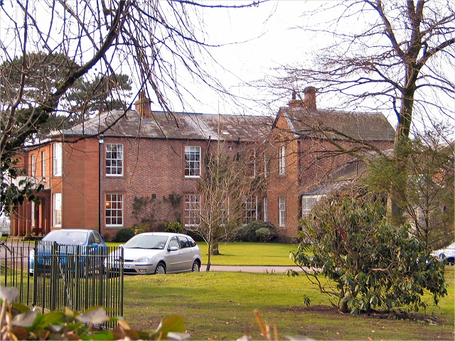
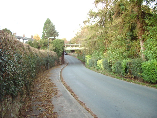
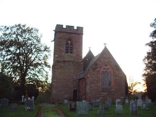
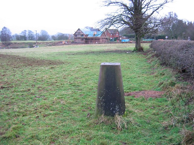
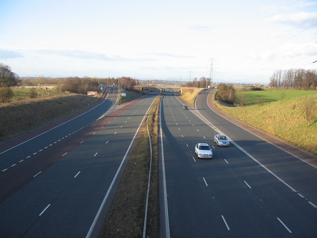
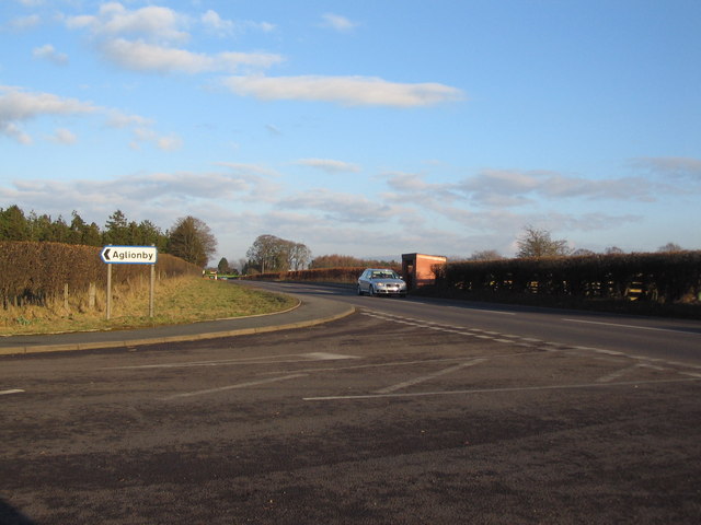
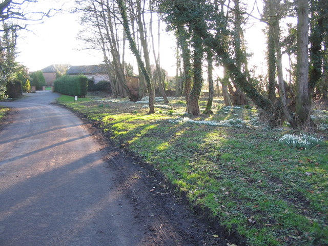
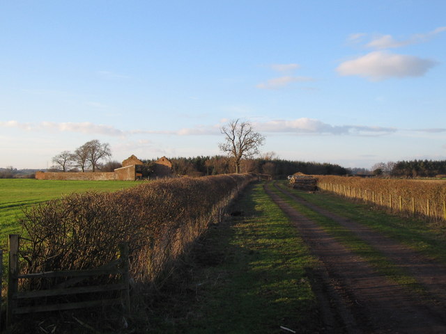
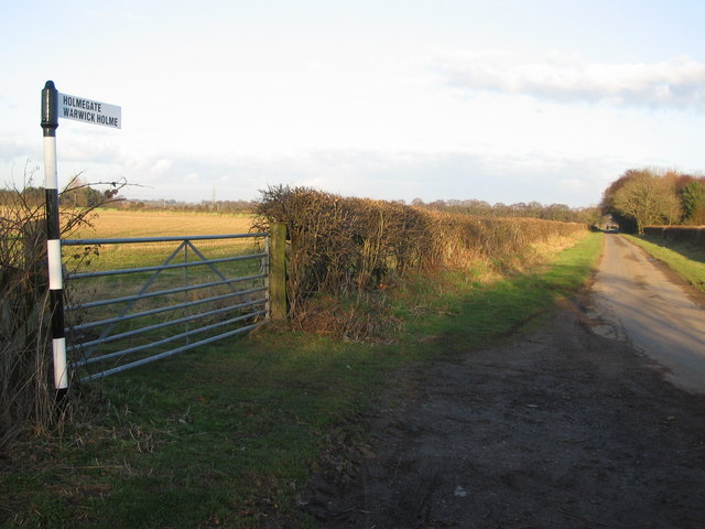
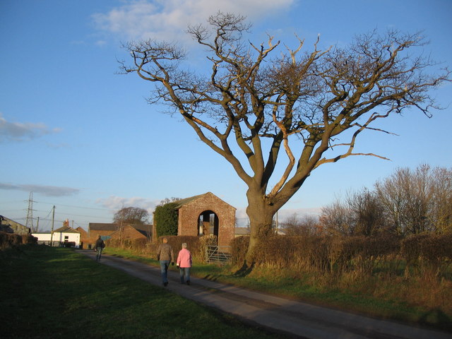
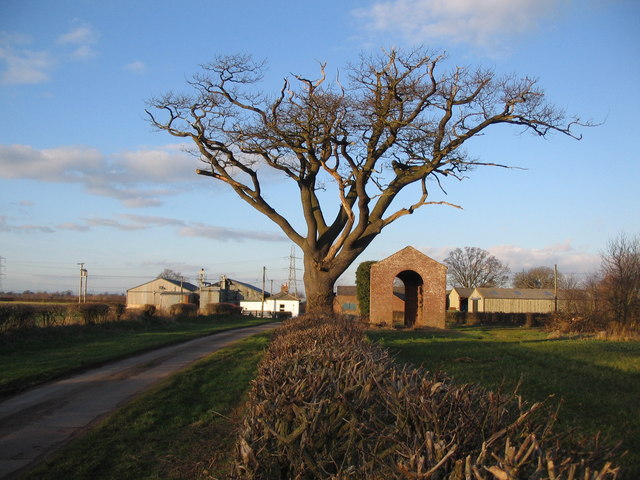
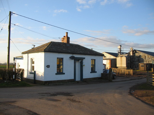
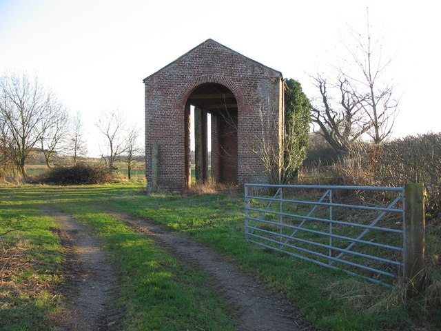
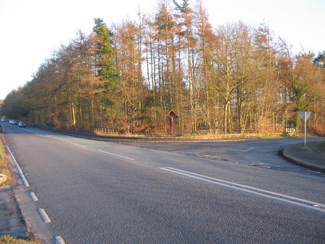
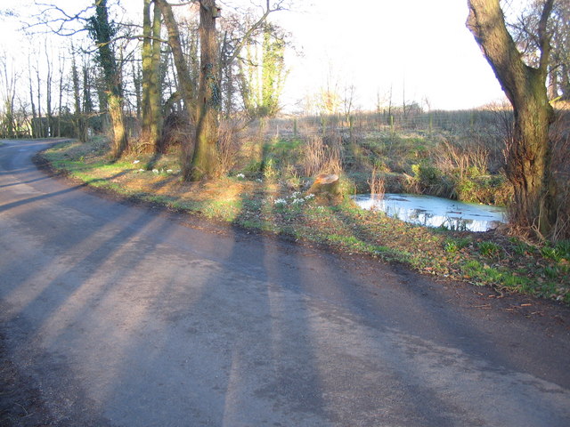
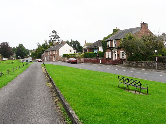
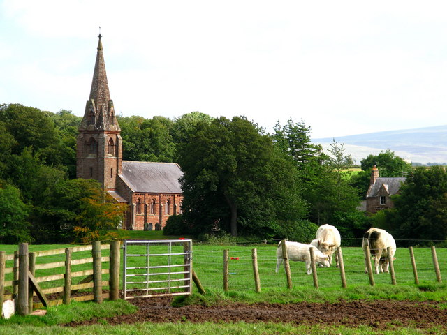
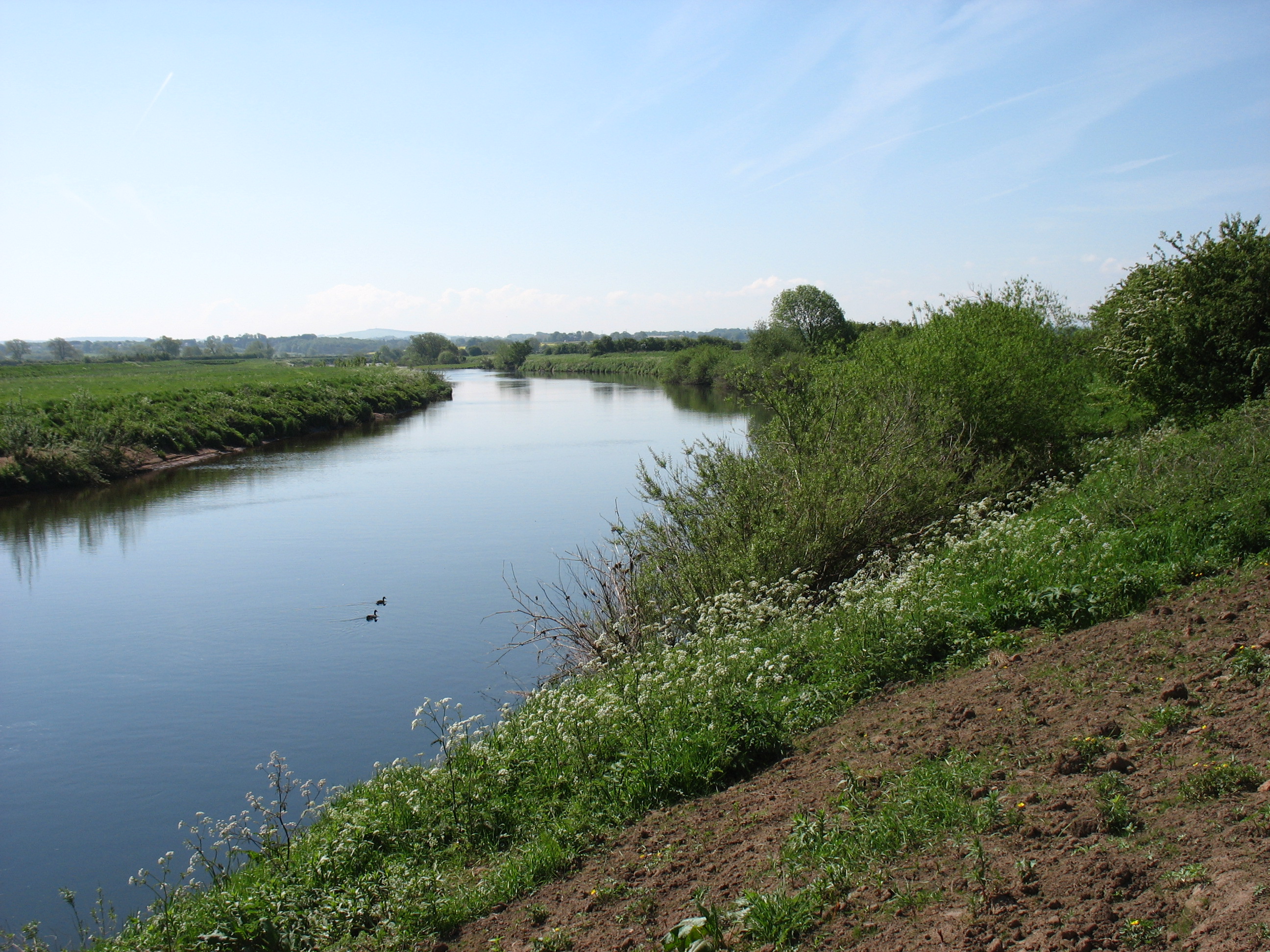
Whooff Wood Images

Images are sourced within 2km of 54.899341/-2.8689432 or Grid Reference NY4456. Thanks to Geograph Open Source API. All images are credited.

Rose Hill Impressive country house on the A69 at Rose Hill. On the outskirts of Carlisle.
Rose Hill
Impressive country house on the A69 at Rose Hill. On the outskirts of Carlisle.
Railway Bridge Railway bridge at Scotby which carries the Carlisle to Settle Railway over the Scotby to Cumwhinton road
Railway Bridge
Railway bridge at Scotby which carries the Carlisle to Settle Railway over the Scotby to Cumwhinton road
All Saints Church, Scotby
Triangulation pillar, Weatheral Beside a road coming in from the north.
Triangulation pillar, Weatheral
Beside a road coming in from the north.
M6 Junction 43 A view looking north along the M6 motorway towards junction 43.
M6 Junction 43
A view looking north along the M6 motorway towards junction 43.
The M6 south of junction 43 A view looking to the south along the M6 from the overbridge to the south of junction 43.
The M6 south of junction 43
A view looking to the south along the M6 from the overbridge to the south of junction 43.
Railway at Scotby A view looking to the east along the railway track at Scotby as a freight train passes on its way to Carlisle.
Railway at Scotby
A view looking to the east along the railway track at Scotby as a freight train passes on its way to Carlisle.
Turning for Aglionby A view looking to the east along the A69 at the junction with the lane to Aglionby.
Turning for Aglionby
A view looking to the east along the A69 at the junction with the lane to Aglionby.
Snowdrops at  Aglionby A view looking to the southwest along the lane through Aglionby, towards a clump of snowdrops illuminated by the late afternoon sun.
Snowdrops at Aglionby
A view looking to the southwest along the lane through Aglionby, towards a clump of snowdrops illuminated by the late afternoon sun.
Pond at Aglionby A view looking to the northeast across the lane through Aglionby towards a small pond.
Pond at Aglionby
A view looking to the northeast across the lane through Aglionby towards a small pond.
Track to Strickland A view looking to the northwest along the track to Strickland, the derelict building on the left.
Track to Strickland
A view looking to the northwest along the track to Strickland, the derelict building on the left.
Lane to Holmegate A view looking to the northeast along the lane to Holmegate.
Lane to Holmegate
A view looking to the northeast along the lane to Holmegate.
Approaching Holme Gate A view looking north along the lane from Aglionby, approaching Holme Gate.
Approaching Holme Gate
A view looking north along the lane from Aglionby, approaching Holme Gate.
Barn at Holme Gate A view looking to the north towards a barn at Holme Gate.
Barn at Holme Gate
A view looking to the north towards a barn at Holme Gate.
Holme Gate Cottage A view looking to the northwest towards Holme Gate Cottage.
Holme Gate Cottage
A view looking to the northwest towards Holme Gate Cottage.
Tall barn at Holme Gate A view looking to the south towards a tall barn at Holme Gate.
Tall barn at Holme Gate
A view looking to the south towards a tall barn at Holme Gate.
Junction for Wetheral A view looking to the southeast across the A69 towards the crucifix at the junction with the lane to Wetheral.
Junction for Wetheral
A view looking to the southeast across the A69 towards the crucifix at the junction with the lane to Wetheral.
Roadside crucifix A view looking southeast towards the crucifix at the junction of the A69 and the lane to Wetheral.
Roadside crucifix
A view looking southeast towards the crucifix at the junction of the A69 and the lane to Wetheral.
Show me another place!

Whooff Wood is located at Grid Ref: NY4456 (Lat: 54.899341, Lng: -2.8689432)

Administrative County: Cumbria

District: Carlisle

Police Authority: Cumbria

What 3 Words

///armrests.promotion.weary. Near Scotby, Cumbria

Nearby Locations

Aglionby Whooff Wood

Related Wikis

Aglionby, Cumbria

Aglionby is a village in Cumbria, England. Aglionby lies within the civil parish of Wetheral and thus forms part of the district administered as the City...

Scotby

Scotby is a village in the Cumberland unitary authority area of Cumbria, England. It is separated from Carlisle by the M6 motorway, and it is close to...

Warwick-on-Eden

Warwick-on-Eden is a small village and (as just Warwick) a former civil parish, now in the parish of Wetheral, in the Carlisle district of the county of...

Warwick Hall

Warwick Hall is a large country house located on the banks of the River Eden at Warwick-on-Eden in Cumbria, England, United Kingdom. == History == The...

Linstock, Cumbria

Linstock is a village in the civil parish of Stanwix Rural, in the Carlisle District, in the county of Cumbria, England. It is a few miles away from the...

Park Broom

Park Broom is a hamlet in the civil parish of Stanwix Rural, in the Carlisle district, in the county of Cumbria, England. It is a few miles away from the...
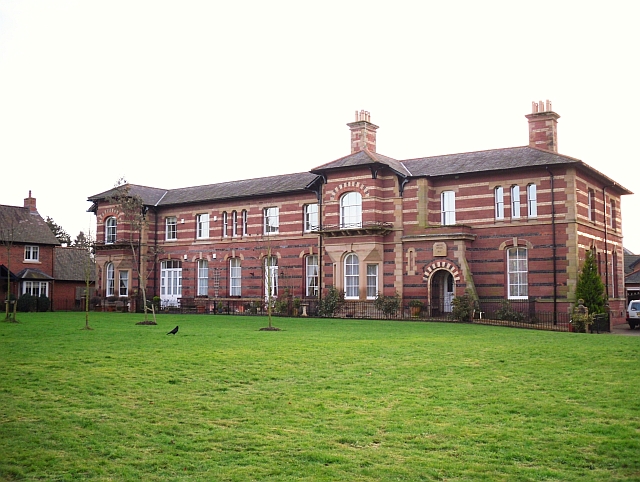
Garlands Hospital

Garlands Hospital was a mental health facility at Carleton near Carlisle in Cumbria, England. == History == The hospital, which was designed by Thomas...

Holme Eden Abbey

Holme Eden Abbey was an abbey in Cumbria, England. The current building (built 1833–37) is a Grade II* listed building. == History == It was designed in...

Nearby Amenities

Located within 500m of 54.899341,-2.8689432
Bus Stop
Road End (W bound)
Naptan AtcoCode: 090033441700
Naptan Bearing: W
Naptan CommonName: Road End (W bound)
Naptan Indicator: near
Naptan Landmark: junction for Aglionby
Naptan NaptanCode: cumatgpm
Naptan Street: A69
Naptan Verified: no
Source: naptan_import
Lat/Long: 54.8987679/-2.8636844
Bus Stop
Scotby Road End
Bench: no
Covered: no
Local Ref: AT
Naptan AtcoCode: 090033442336
Naptan Bearing: E
Naptan CommonName: Scotby Road End
Naptan Indicator: at
Naptan Landmark: junction with Scotby Road
Naptan NaptanCode: cumatjam
Naptan PlusbusZoneRef: CARLILE
Naptan Street: A69
Naptan Verified: no
Shelter: no
Source: naptan_import
Lat/Long: 54.8975378/-2.8760862
Road End (E bound)
Local Ref: AT
Naptan AtcoCode: 090033443631
Naptan Bearing: E
Naptan BusStopType: CUS
Naptan CommonName: Road End (E bound)
Naptan Indicator: at
Naptan Landmark: road end
Naptan NaptanCode: cumatjpd
Naptan Street: A69(T)
Naptan Verified: no
Source: naptan_import
Lat/Long: 54.8987883/-2.8646049
Post Box
Ref: CA4 27
Lat/Long: 54.9007509/-2.8627307
Restaurant
Rahi at the Waterloo
Cuisine: asian
Lat/Long: 54.8974265/-2.8708974
Power: pole
Lat/Long: 54.9000145/-2.8674273
Power: pole
Lat/Long: 54.9007981/-2.8671533
Power: pole
Lat/Long: 54.9015942/-2.8668597
Power: pole
Lat/Long: 54.9026014/-2.8665221
The data included in this document is from www.openstreetmap.org. The data is made available under ODbL.

Have you been to Whooff Wood?

Leave your review of Whooff Wood below (or comments, questions and feedback).