Aifft
Settlement in Denbighshire
Wales
Aifft

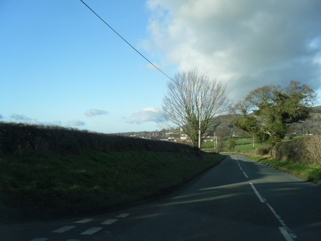
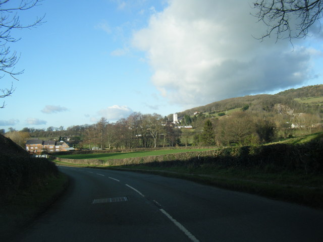
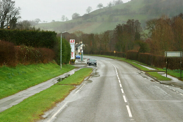
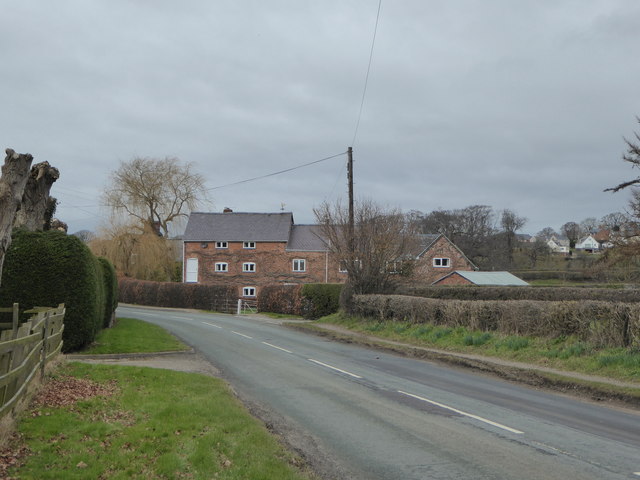
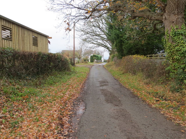
Aifft is a small village located in Denbighshire, Wales. Nestled in the picturesque Vale of Clwyd, it is situated about 3 miles northeast of the town of Denbigh. The village is surrounded by rolling hills and lush farmland, offering stunning views of the Welsh countryside.
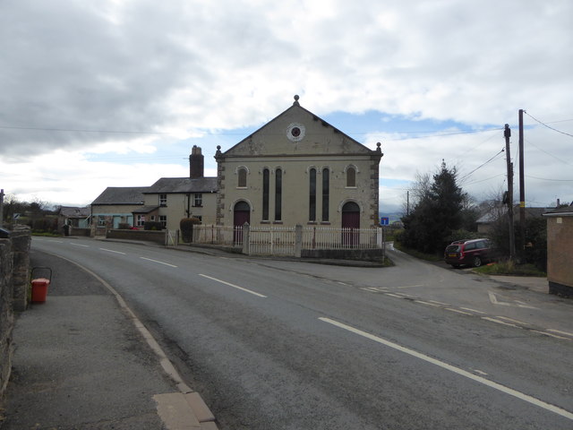
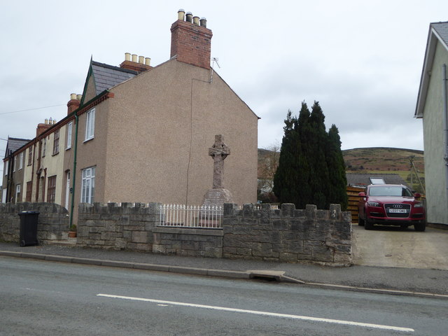
Aifft has a rich history, with evidence of human settlement dating back to the Neolithic period. It was an important agricultural center during the medieval era, and remnants of this past can still be seen in the form of traditional Welsh longhouses and historic buildings.
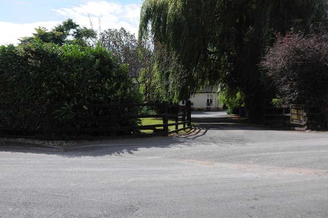
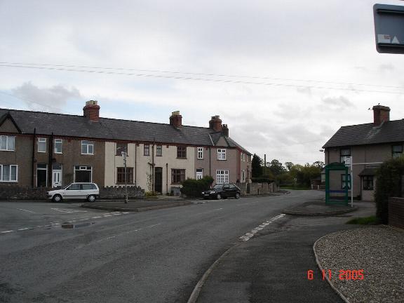
Despite its small size, Aifft boasts a strong sense of community. The village has a close-knit population that takes pride in preserving its cultural heritage. The local pub serves as a hub for social gatherings and is known for its warm hospitality.
In terms of amenities, Aifft offers basic facilities such as a primary school, a post office, and a small convenience store. However, residents often rely on nearby Denbigh for more extensive shopping and entertainment options.
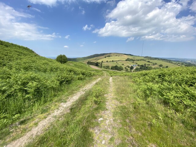
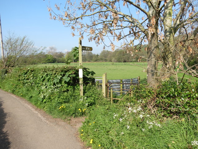
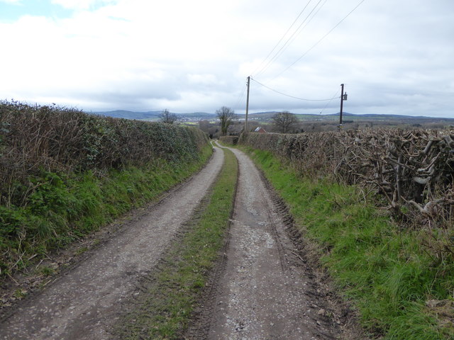
For outdoor enthusiasts, Aifft is a great starting point for exploring the beautiful Welsh countryside. The village is surrounded by scenic walking and cycling trails, offering opportunities to immerse oneself in nature.
Overall, Aifft is a charming village that offers a peaceful and idyllic lifestyle. Its rich history, stunning natural surroundings, and strong community spirit make it an attractive place to live or visit in Denbighshire.
If you have any feedback on the listing, please let us know in the comments section below.
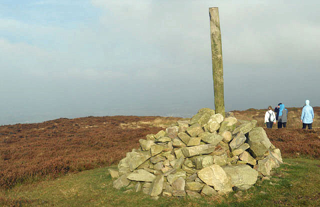
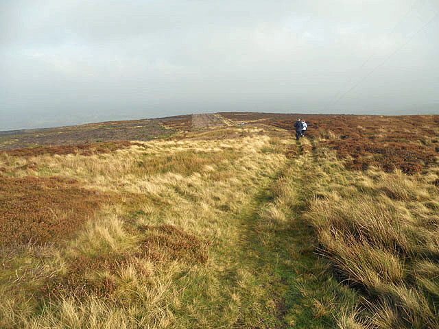
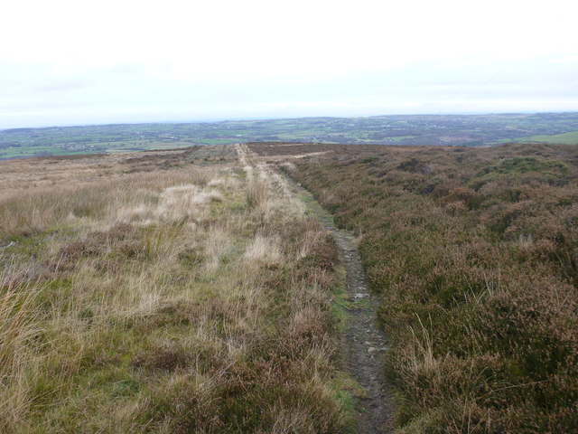
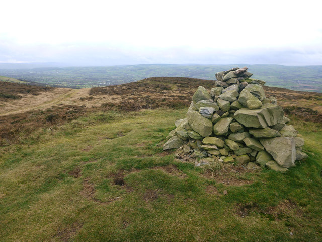
Aifft Images
Images are sourced within 2km of 53.210584/-3.3341186 or Grid Reference SJ1169. Thanks to Geograph Open Source API. All images are credited.
Aifft is located at Grid Ref: SJ1169 (Lat: 53.210584, Lng: -3.3341186)
Unitary Authority: Denbighshire
Police Authority: North Wales
What 3 Words
///exotic.hobbit.cement. Near Trefnant, Denbighshire
Nearby Locations
Related Wikis

Aled Rural District
Aled was a rural district in the administrative county of Denbighshire, Wales, from 1935 to 1974. The district was created by a county review order in...
Aberwheeler
Aberwheeler (Welsh: Aberchwiler) is a village and community in the Welsh county of Denbighshire, located on the south bank of the River Wheeler (Welsh...
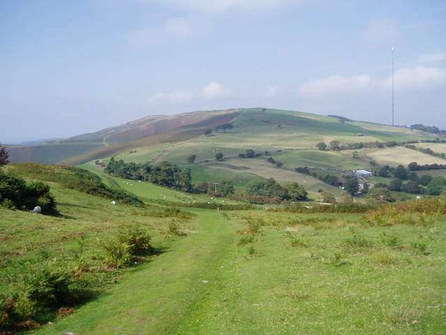
Moel y Parc
Moel y Parc (sometimes written as Moel-y-Parc) is a hill on the border between Denbighshire and Flintshire in Wales. It is one of the Clwydian Hills, rising...

Moel-y-Parc transmitting station
The Moel-y-Parc transmitting station is situated on Moel y Parc, a hill in north-east Wales at the northern end of the Clwydian range, close to the town...
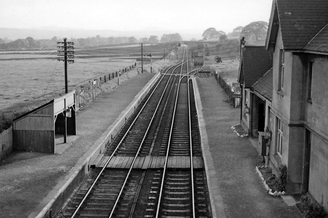
Bodfari railway station
Bodfari railway station was opened on 6 September 1869 by the Mold and Denbigh Junction Railway. Following the Railways Act 1921 the line became part of...

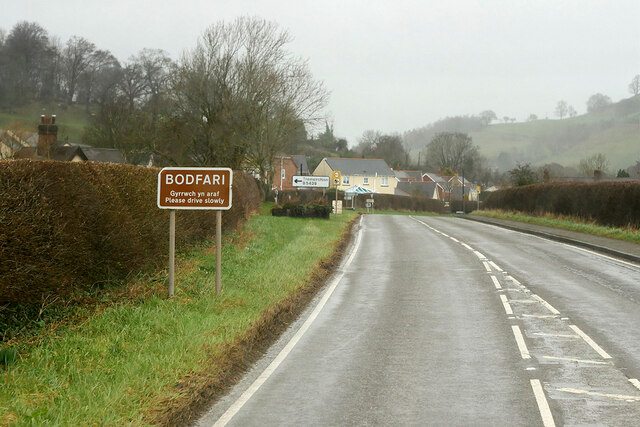
Bodfari
Bodfari is a village and community in Denbighshire, Wales. Until the local government reorganisation of 1974, Bodfari was in the historic county of Flintshire...

Penycloddiau
Penycloddiau is a hill in Flintshire, Wales, and one of five Marilyns in the Clwydian Range. The hill, like Foel Fenlli and Moel Arthur to the south,...

Moel y Gaer, Bodfari
Moel y Gaer (Welsh for "bald hill of the fortress") is an Iron Age hillfort at the northern end of the Clwydian Range, located on a summit overlooking...
Nearby Amenities
Located within 500m of 53.210584,-3.3341186Have you been to Aifft?
Leave your review of Aifft below (or comments, questions and feedback).