Aigburth
Settlement in Lancashire
England
Aigburth
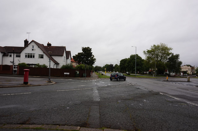
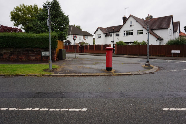
Aigburth is a suburban area located in the city of Liverpool, in the county of Lancashire, England. Situated approximately 4 miles south of Liverpool city center, Aigburth is bounded by the River Mersey to the west, Sefton Park to the north, and Otterspool Park to the south.
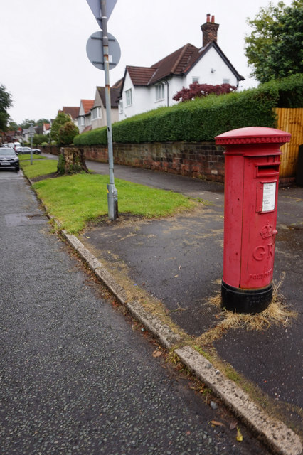
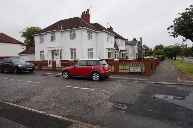
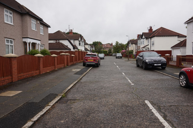
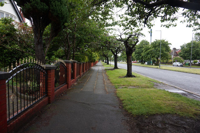
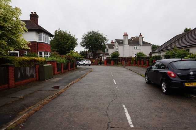
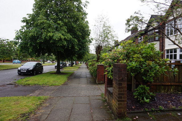
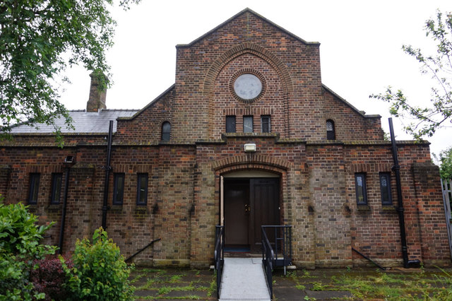
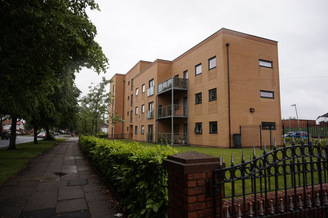
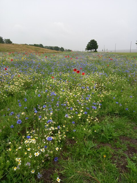
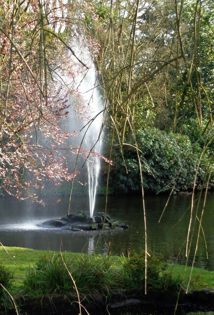
The area is known for its scenic beauty, with abundant green spaces and tree-lined streets. Aigburth is primarily residential, offering a mix of Victorian and Edwardian houses, as well as some modern developments. The architecture reflects the area's historical significance.
Aigburth is well-connected to the rest of Liverpool and beyond, with excellent transportation links. The A561 road runs through the area, providing easy access to neighboring districts and the city center. Additionally, the Aigburth railway station offers frequent services to Liverpool Central and beyond.
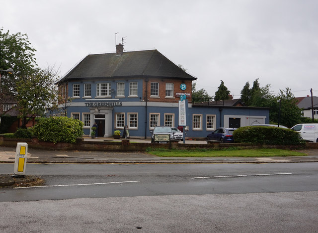
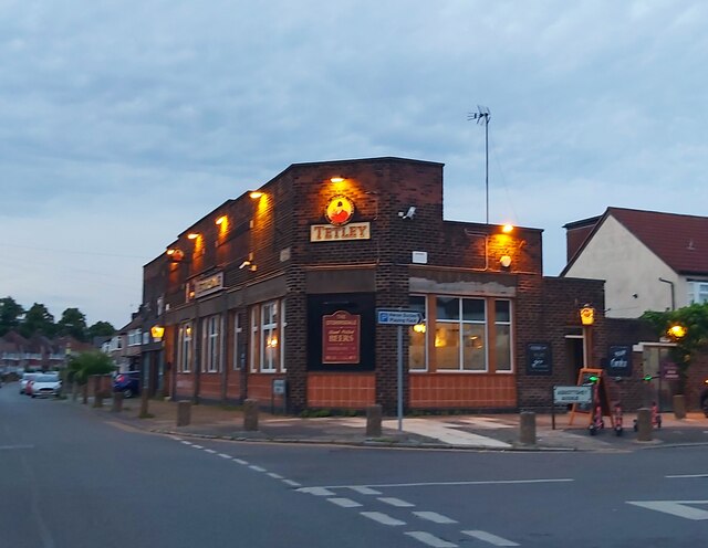
Residents of Aigburth enjoy a range of amenities and facilities. The area boasts several local shops, cafes, and restaurants, providing convenience for everyday needs. Additionally, Lark Lane, a popular street in Aigburth, is famous for its independent shops, vibrant nightlife, and diverse dining options.
Nature enthusiasts can take advantage of the nearby parks for leisurely walks, picnics, or sporting activities. Otterspool Promenade, located on the banks of the River Mersey, attracts visitors with its stunning views, walking trails, and a playground.
Overall, Aigburth offers a peaceful and picturesque living environment, making it an attractive place to reside.
If you have any feedback on the listing, please let us know in the comments section below.
Aigburth Images
Images are sourced within 2km of 53.369953/-2.926546 or Grid Reference SJ3886. Thanks to Geograph Open Source API. All images are credited.
Aigburth is located at Grid Ref: SJ3886 (Lat: 53.369953, Lng: -2.926546)
Unitary Authority: Liverpool
Police Authority: Merseyside
What 3 Words
///fund.froth.bags. Near Bromborough, Merseyside
Nearby Locations
Related Wikis
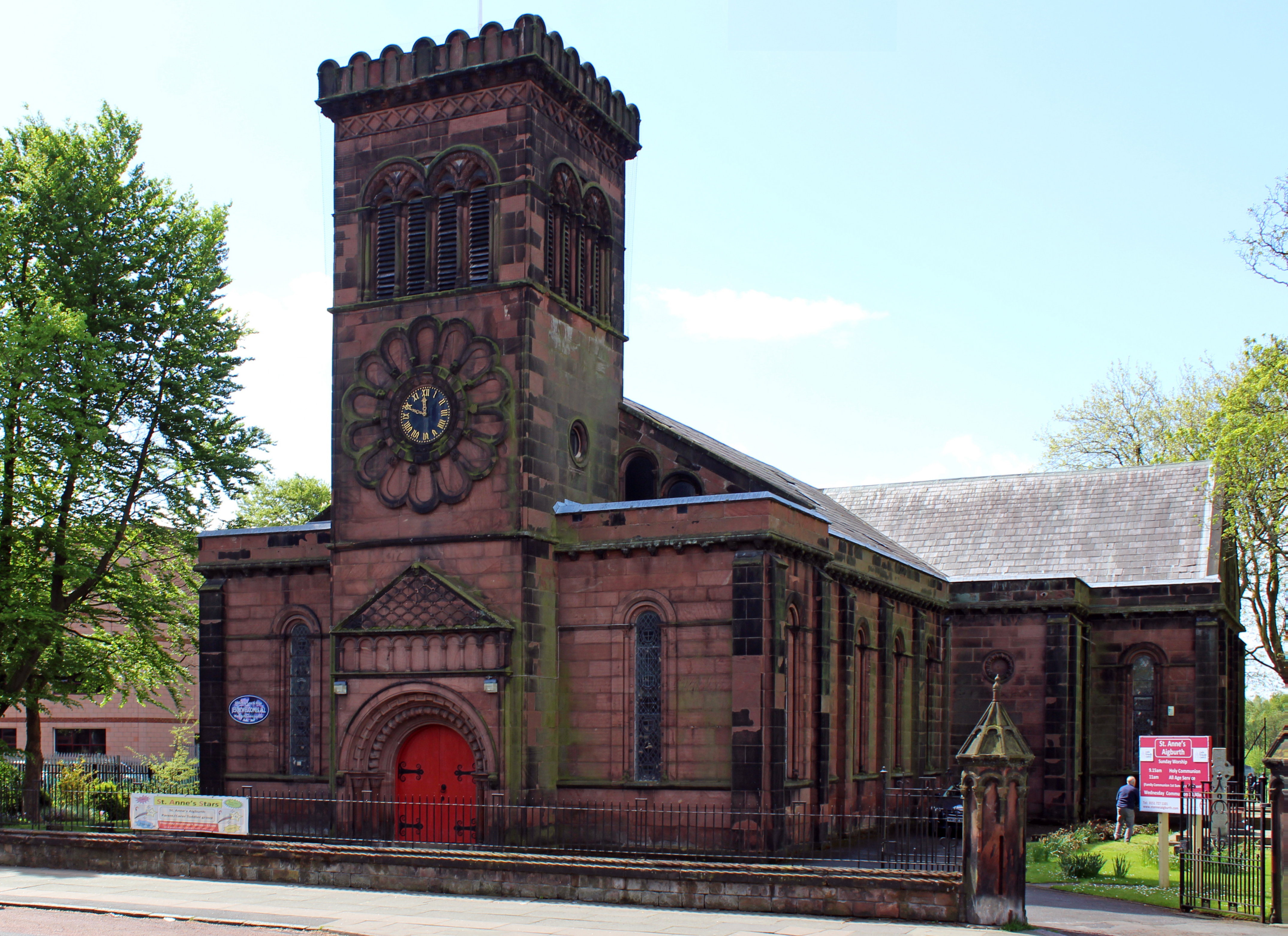
Church of St Anne, Aigburth
The Church of St Anne is in Aigburth Road, Aigburth, Liverpool, Merseyside, England. It is recorded in the National Heritage List for England as a designated...
St Margaret's Church of England Academy
St Margaret's Church of England Academy is an 11–18 boys secondary school in Aigburth, Liverpool, England.Frequently shortened to SMA, as of November 2021...

I.M. Marsh Campus
The IM Marsh Campus is a former university campus in south Liverpool. It was, until 2021, home to the School of Education, Leisure and Sport Studies and...
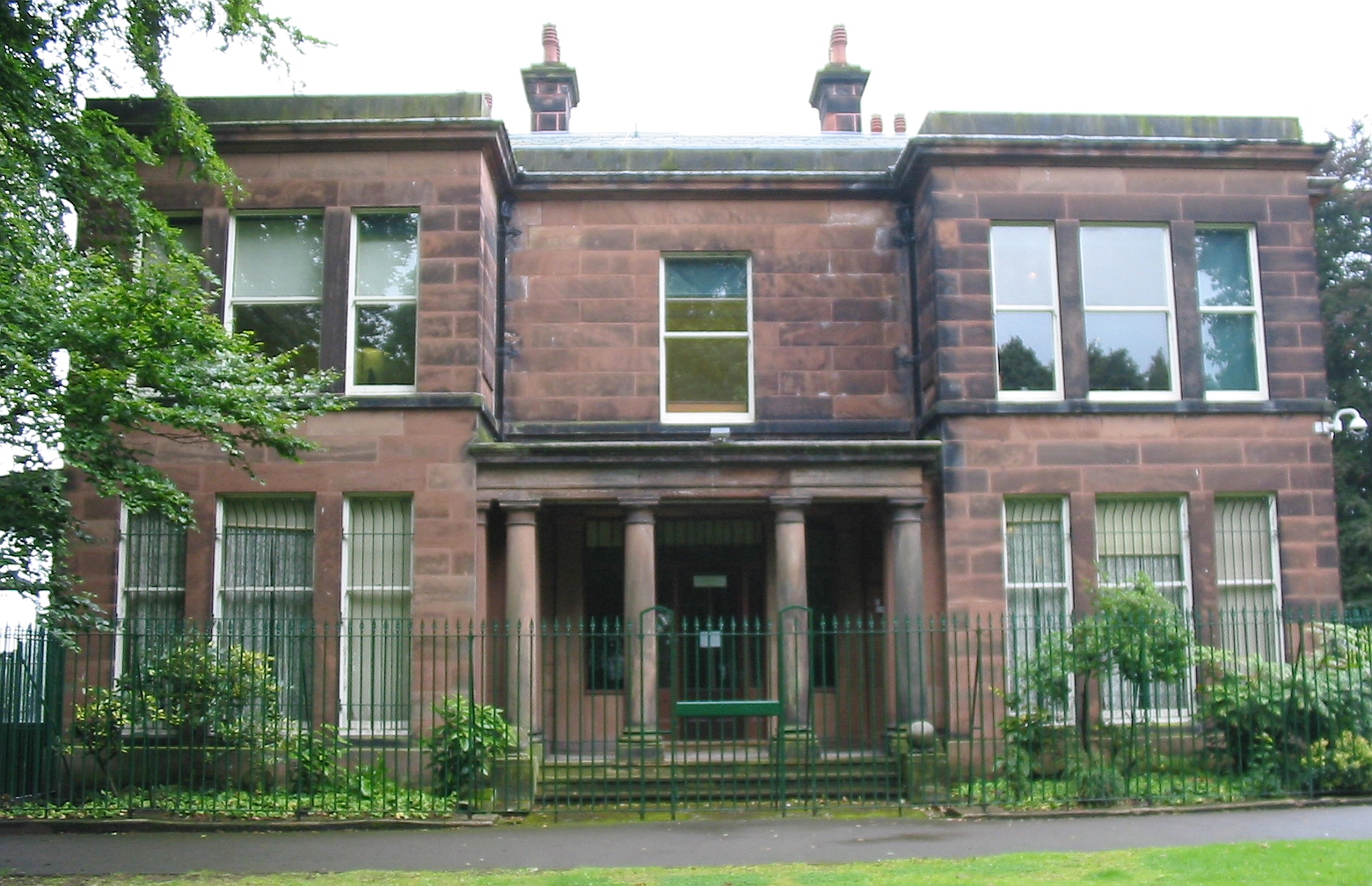
Sudley House
Sudley House is a historic house in Aigburth, Liverpool, England. Built in 1824 and much modified in the 1880s, it is now a museum and art gallery which...
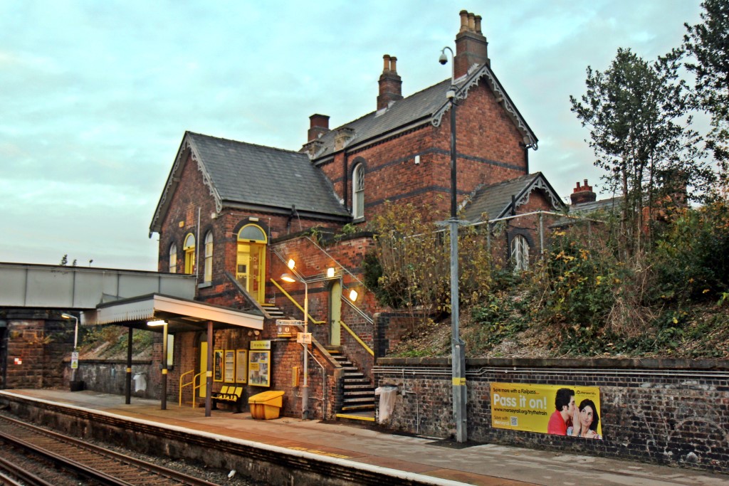
Aigburth railway station
Aigburth railway station serves the Aigburth district of Liverpool, England. It is situated on the Southport–Hunts Cross route of the Northern Line of...
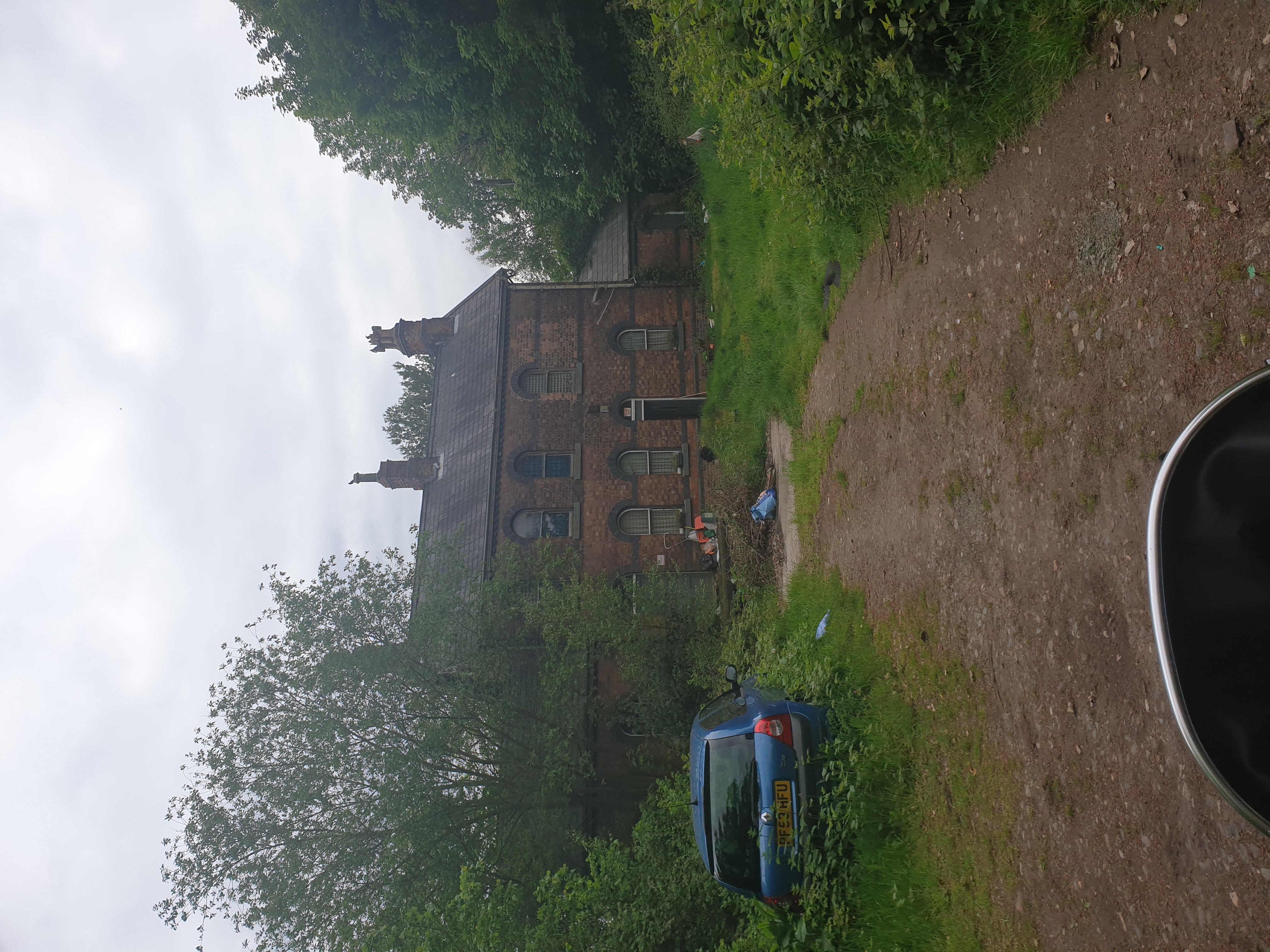
Otterspool railway station
Otterspool station was a railway station in Liverpool, England. It was located between St Michaels and Aigburth stations on the Garston and Liverpool Railway...
Stanlawe Grange
Stanlawe Grange in Aigburth, Liverpool, England, is the remains of a 13th-century monastic grange. Little remains of the original cruck frame structure...

Church of St Matthew and St James, Mossley Hill
The Church of St Matthew and St James stands on the top of a hill in Rose Lane, Mossley Hill, Liverpool, England. It is an active Anglican parish church...
Nearby Amenities
Located within 500m of 53.369953,-2.926546Have you been to Aigburth?
Leave your review of Aigburth below (or comments, questions and feedback).