Aike
Settlement in Yorkshire
England
Aike
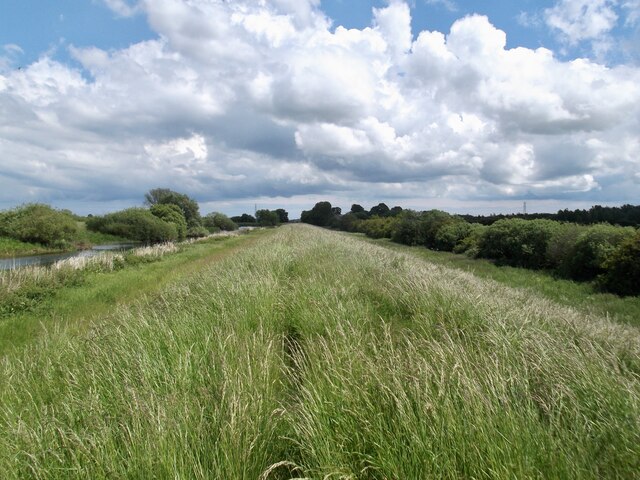
Aike is a small village located in the East Riding of Yorkshire, England. It is situated about 5 miles north of Beverley, a historic market town, and approximately 13 miles northeast of Hull, the region's largest city. Aike is surrounded by picturesque countryside, with rolling hills and farmland characterizing its landscape.
The village itself is relatively small, with a population of around 200 residents. It is known for its quiet and tranquil atmosphere, offering a peaceful retreat from the bustling city life. Aike has a strong sense of community, with a local pub serving as a popular gathering spot for both residents and visitors.
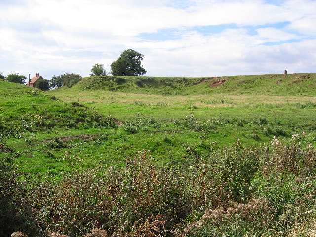
Historically, Aike was an agricultural village, and evidence of its rural past can still be seen today. The village features several traditional buildings and farmhouses, adding to its charming appeal. The surrounding area provides ample opportunities for outdoor activities, such as hiking and cycling, with various scenic trails to explore.
Despite its small size, Aike benefits from its proximity to larger towns and cities. Residents have easy access to amenities and services in nearby Beverley and Hull, including shops, schools, healthcare facilities, and entertainment options. The village also enjoys good transport links, with several main roads and public transportation routes connecting it to the wider region.
In summary, Aike is a quiet and idyllic village in the heart of Yorkshire, offering a rural escape while still being conveniently located near larger urban centers. Its picturesque surroundings, strong community spirit, and easy access to amenities make it an attractive place to live or visit.
If you have any feedback on the listing, please let us know in the comments section below.
Aike Images
Images are sourced within 2km of 53.898328/-0.40699 or Grid Reference TA0445. Thanks to Geograph Open Source API. All images are credited.


Aike is located at Grid Ref: TA0445 (Lat: 53.898328, Lng: -0.40699)
Division: East Riding
Unitary Authority: East Riding of Yorkshire
Police Authority: Humberside
What 3 Words
///documents.airtime.item. Near Leconfield, East Yorkshire
Nearby Locations
Related Wikis

Aike
Aike ( ) is a hamlet and former civil parish, now in the parish of Lockington, in the East Riding of Yorkshire, England. The hamlet is centred around a...

Arram
Arram is a small (population 200) farming village in the East Riding of Yorkshire, England. It is situated approximately 3 miles (5 km) north of the market...
Wilfholme Landing
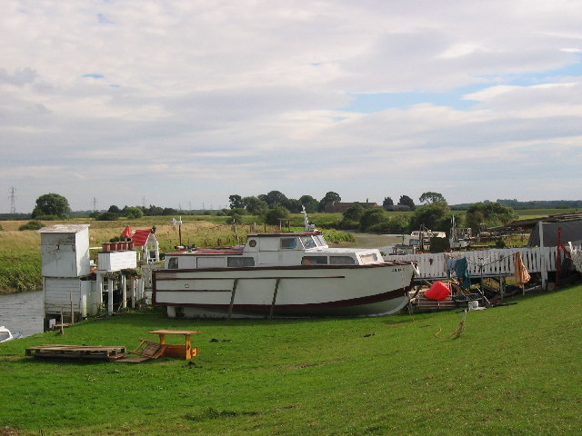
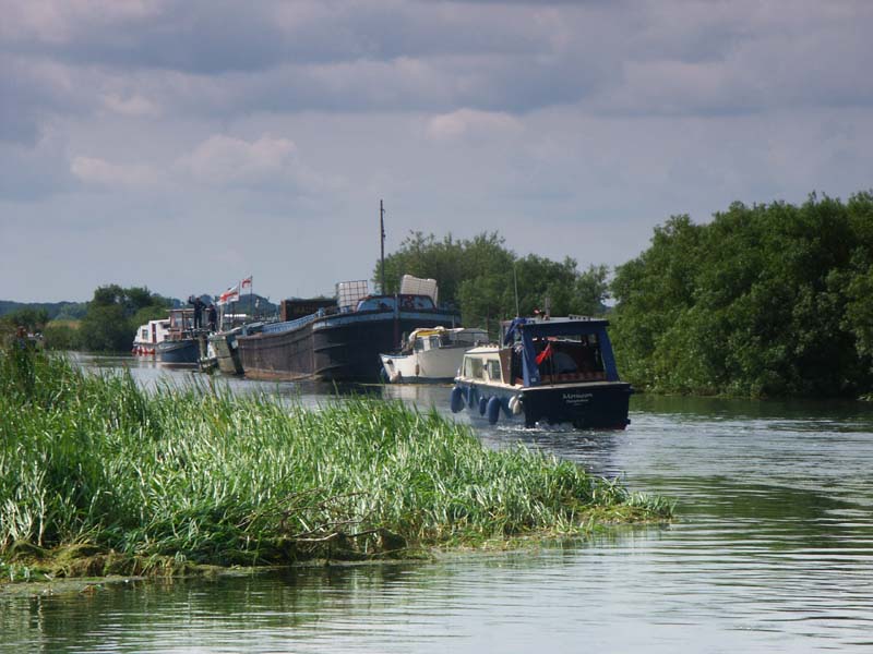
Wilfholme Landing is located on the Driffield Navigation in the East Riding of Yorkshire, England. The navigation is still tidal at this point, and is...
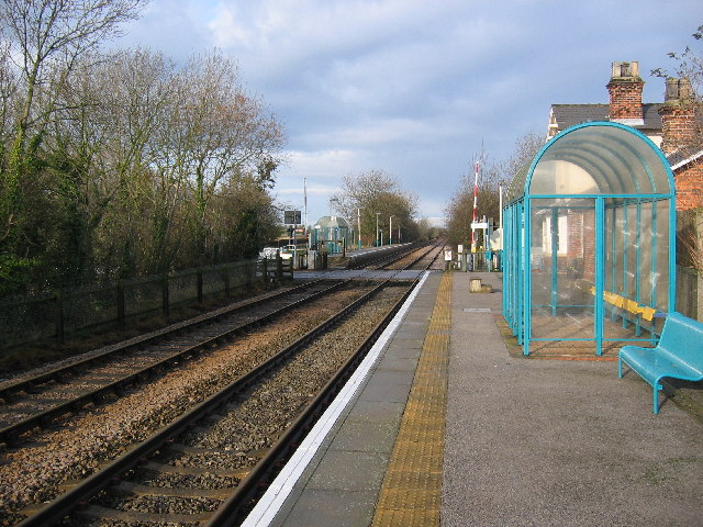
Arram railway station
Arram railway station serves the small village of Arram in the East Riding of Yorkshire, England. It is located on the Yorkshire Coast Line and is operated...
Nearby Amenities
Located within 500m of 53.898328,-0.40699Have you been to Aike?
Leave your review of Aike below (or comments, questions and feedback).