Aiketgate
Settlement in Cumberland Eden
England
Aiketgate
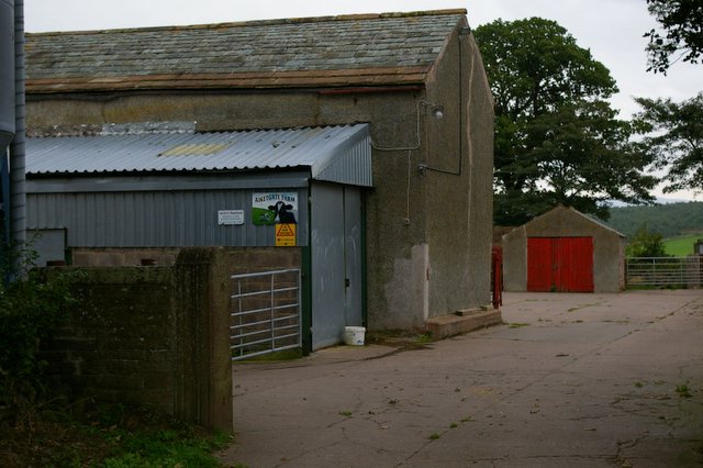
Aiketgate is a small rural village located in the county of Cumberland, England. Situated in the picturesque countryside, it is nestled among rolling green hills and offers a serene and idyllic setting for its residents. The village is part of the larger civil parish of Cumberland and falls under the governance of the local council.
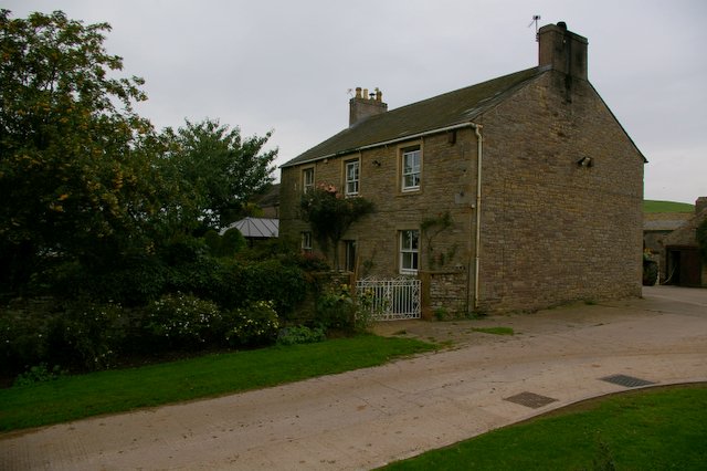
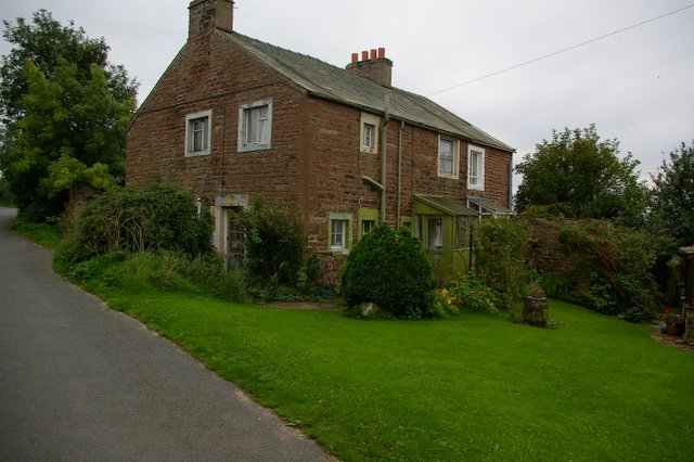
With a population of just over 200 residents, Aiketgate exudes a close-knit community atmosphere. The village is characterized by its collection of charming stone cottages, which date back several centuries. These traditional dwellings lend a sense of history and heritage to the area, giving it a unique and timeless appeal.
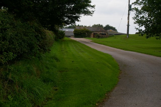
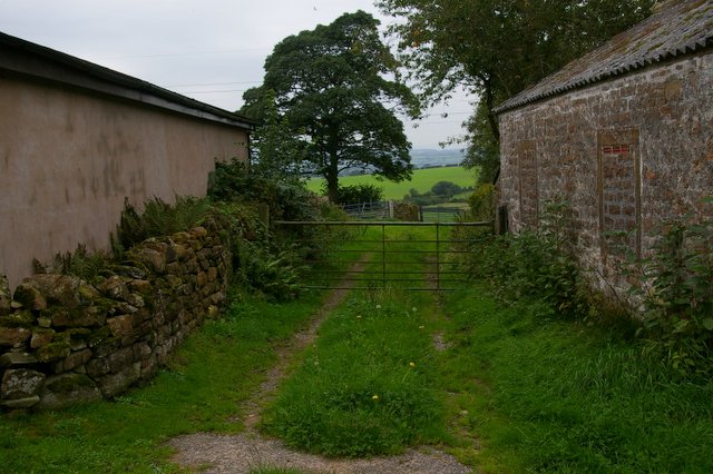
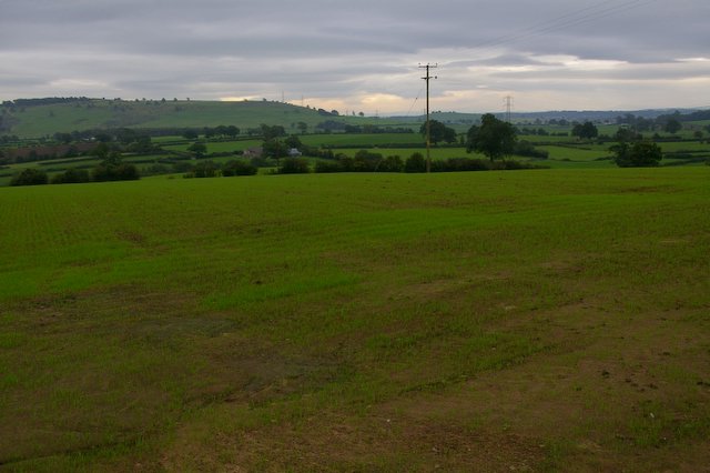
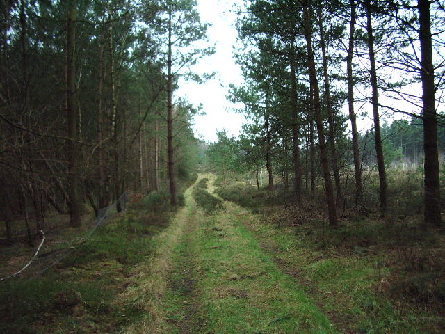
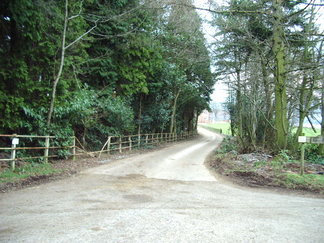
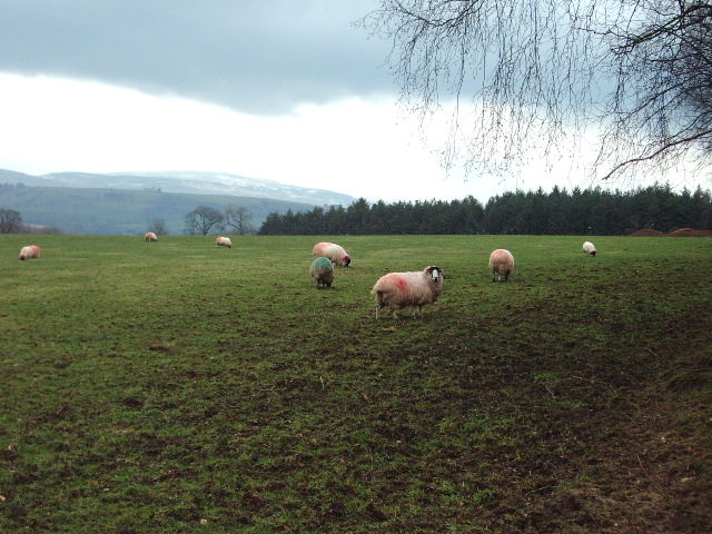
Aiketgate is surrounded by breathtaking natural beauty, making it a haven for outdoor enthusiasts. The village is blessed with an abundance of walking trails and scenic routes, allowing residents and visitors alike to explore the surrounding countryside. The nearby Aiketgate Forest provides a tranquil retreat for nature lovers, with its diverse range of flora and fauna.
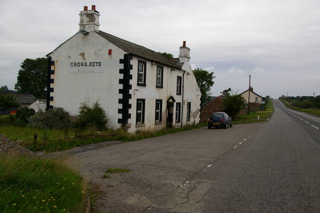
While Aiketgate may be small in size, it offers essential amenities to cater to the needs of its residents. The village boasts a local pub, where locals can gather for a pint and enjoy traditional English fare. Additionally, there is a community center that hosts various events throughout the year, fostering a sense of community spirit.
Overall, Aiketgate is a quintessential English village, known for its picturesque landscapes, rich history, and welcoming community. It offers a peaceful and serene lifestyle for those seeking an escape from the hustle and bustle of city living.
If you have any feedback on the listing, please let us know in the comments section below.
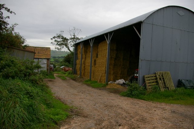
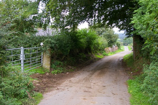
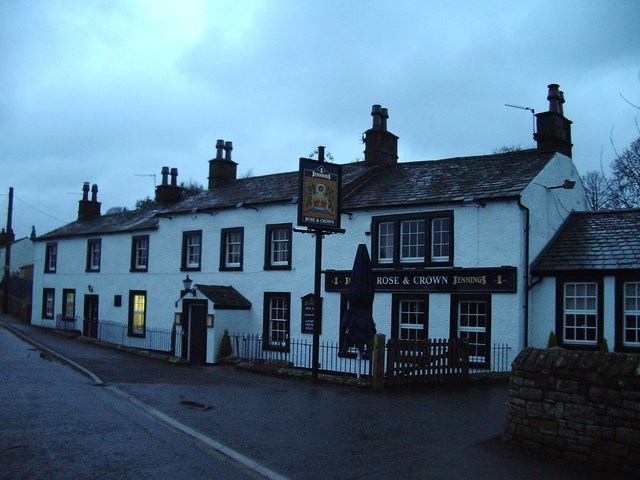
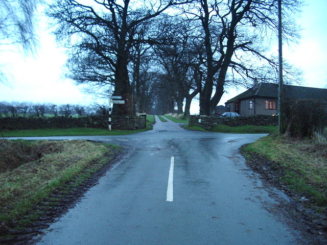
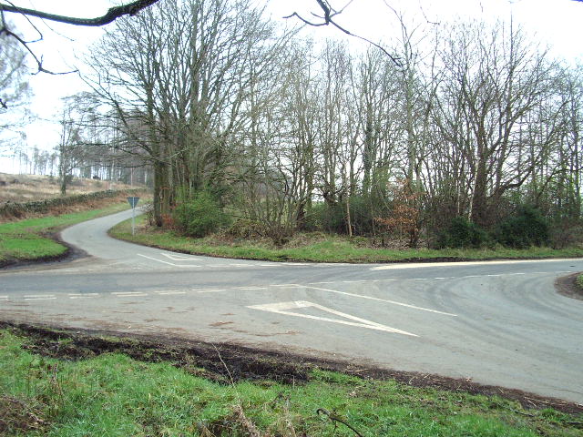
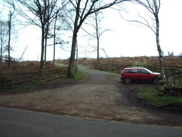
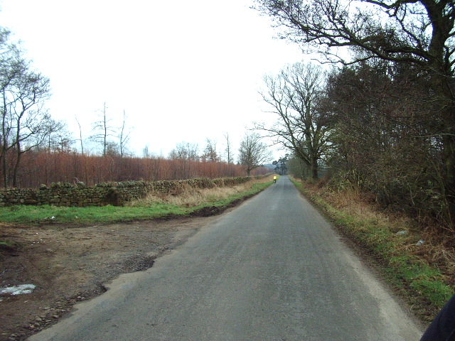
Aiketgate Images
Images are sourced within 2km of 54.811125/-2.809849 or Grid Reference NY4846. Thanks to Geograph Open Source API. All images are credited.
Aiketgate is located at Grid Ref: NY4846 (Lat: 54.811125, Lng: -2.809849)
Administrative County: Cumbria
District: Eden
Police Authority: Cumbria
What 3 Words
///muted.playoffs.detergent. Near Wetheral, Cumbria
Nearby Locations
Related Wikis

Aiketgate
Aiketgate is a small village in the English county of Cumbria. It is within the civil parish of Hesket. Development of wind turbines in the Eden Valley...
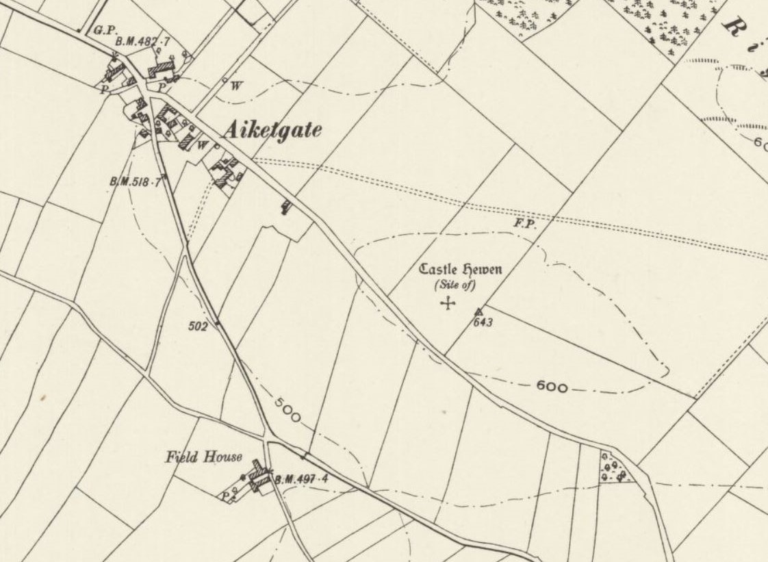
Castle Hewen
Castle Hewen (also recorded as Castlewen; Castle Luen; Castellewyn; Castellewyne; Castlehewings; Castle-Ewaine and Castle Lewen) was a Romano-British castle...

Low Hesket
Low Hesket is a village in the English county of Cumbria. Low Hesket is on the A6 road 8+1⁄2 miles (13.7 km) south of Carlisle. This is a former Roman...

High Hesket
High Hesket is a village near the A6 road, in the parish of Hesket, in the Eden district, in the English county of Cumbria. The village was on the A6 road...

Armathwaite railway station
Armathwaite is a railway station on the Settle and Carlisle Line, which runs between Carlisle and Leeds via Settle. The station, situated 9 miles 75 chains...

Armathwaite
Armathwaite is a village in the English ceremonial county of Cumbria. Historically within the county of Cumberland, Armathwaite lies on the River Eden...

Tarn Wadling
Tarn Wadling (formerly spelled Turnewathelane, Terne Wathelyne, among others) was a lake between Carlisle and Penrith, near the village of High Hesket...

Armathwaite Castle
Armathwaite Castle is in the village of Armathwaite, Cumbria, England, by the River Eden. Originally built to defend against Scottish raiders in the 15th...
Related Videos

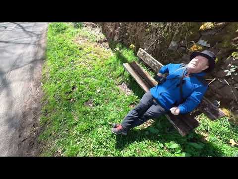
Adventure Vlog | Lake District
Hello everyone, fun video for you today. I head to Armathwaite to do some bouldering with my friend Ben, before then heading ...
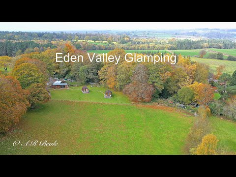
Eden Valley Glamping (The Lake District, Cumbria)
A series of short videos about places of interest in The Lake District, Eden Valley (Cumbria) and surrounding areas A series of ...
A walk through Coombs Wood at #Armathwaite #Cumbria
A lovely walk in north east Cumbria along the river Eden and back taking about 2 hours #Walk #Hike #countryside.
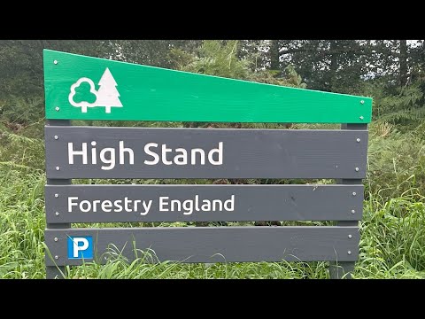
Nature Walks | High Stand Plantation | Trying Out Some New Ground
Autumn in the woods. https://www.youtube.com/@TonysTrails?sub_confirmation=1 #walking #greatoutdoors #hiking #dogs ...
Nearby Amenities
Located within 500m of 54.811125,-2.809849Have you been to Aiketgate?
Leave your review of Aiketgate below (or comments, questions and feedback).