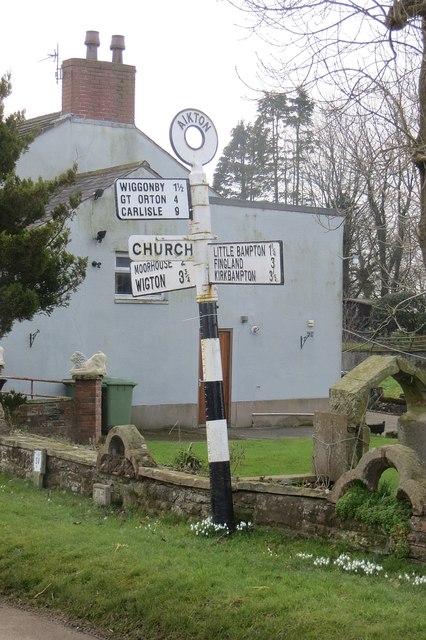
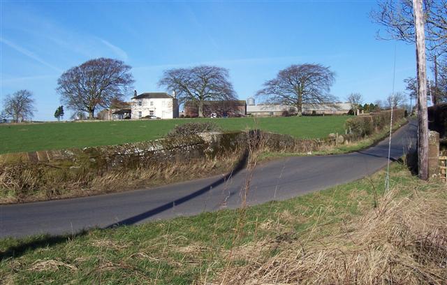
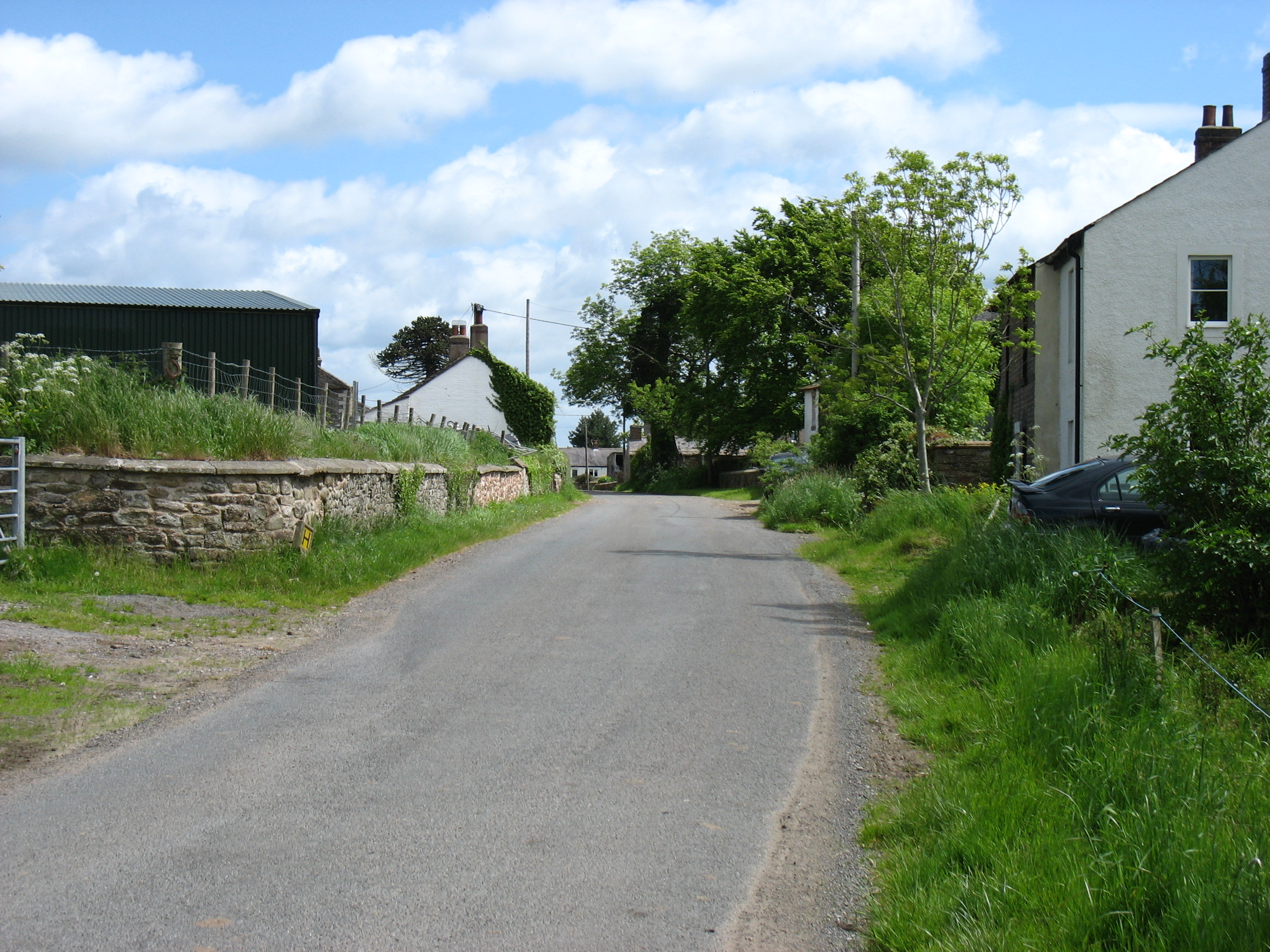
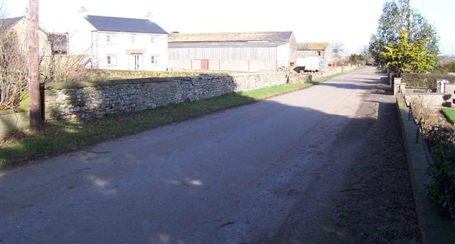
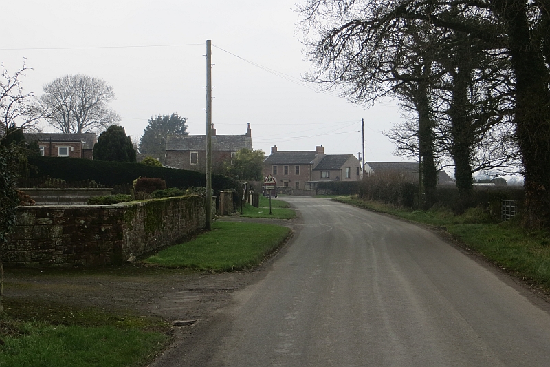
Aikton

Settlement in Cumberland Allerdale

England

Aikton

Road junction near Drumleaning
Road junction near Drumleaning Credit: Steven Brown

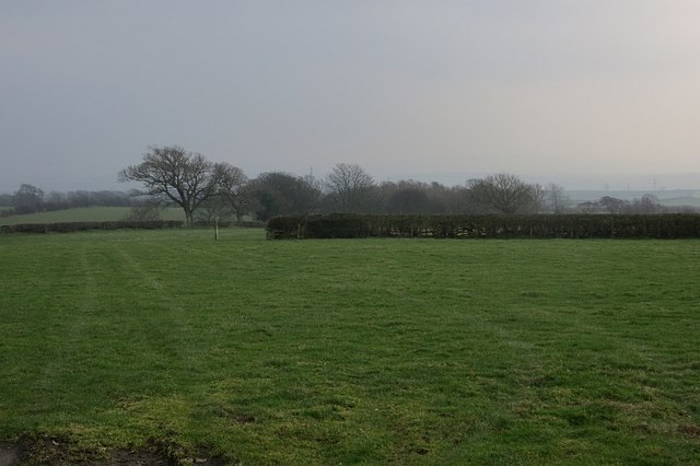
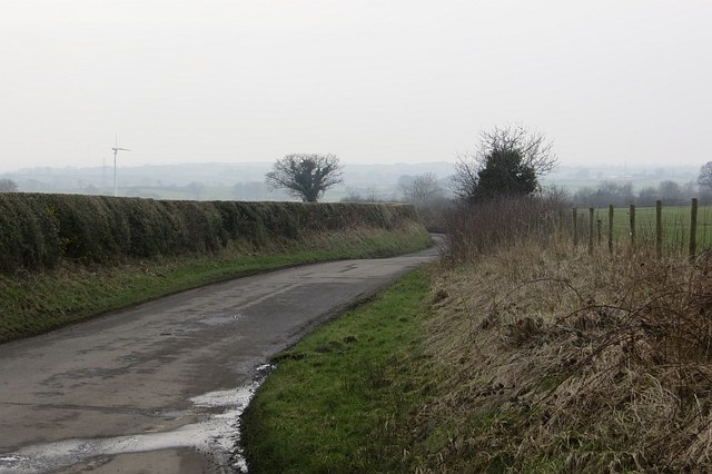
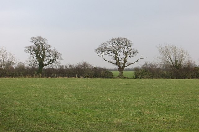
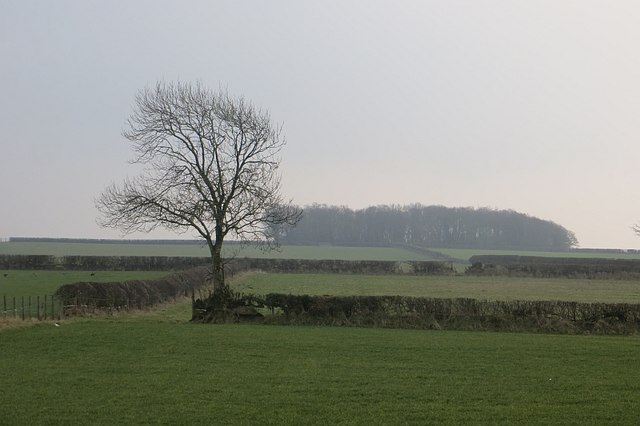
Aikton is a small village located in the district of Cumberland, in the county of Cumbria, England. Situated approximately 5 miles northeast of the historic city of Carlisle, Aikton offers a picturesque rural setting amidst the rolling hills and lush green fields of the countryside.

The village itself is home to a tight-knit community, with a population of around 200 residents. Its tranquil and idyllic atmosphere makes it an ideal place for those seeking a peaceful and countryside lifestyle. Aikton boasts a charming collection of traditional stone cottages, some of which date back several centuries, giving the village a sense of historical character.

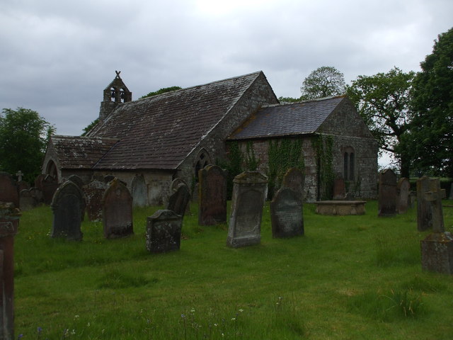
The heart of the village is marked by the Church of St. Andrew, a beautiful medieval building that stands as a testament to Aikton's rich heritage. The church is well-preserved and continues to hold regular services and community events.

Although small in size, Aikton benefits from its proximity to the city of Carlisle, which provides residents with access to a wider range of amenities such as shops, supermarkets, schools, and healthcare facilities. Additionally, the village is conveniently located near major transportation routes, making it accessible for commuters.

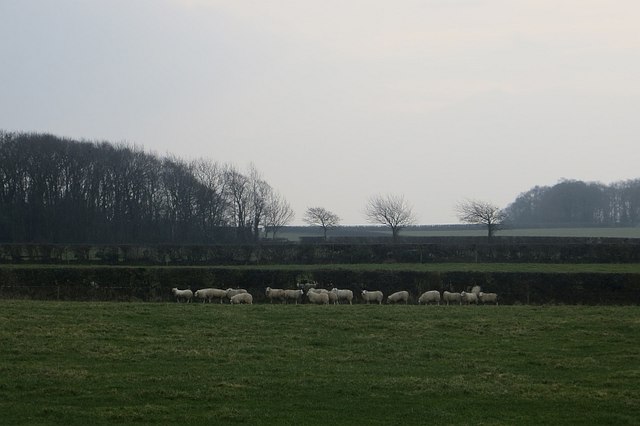
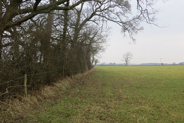
For those who appreciate the great outdoors, Aikton offers ample opportunities for outdoor activities. The surrounding countryside provides stunning landscapes for walking, cycling, and exploring nature.

Overall, Aikton is a charming and close-knit village that offers a peaceful and rural lifestyle, while still providing easy access to nearby amenities and the bustling city of Carlisle.

If you have any feedback on the listing, please let us know in the comments section below.
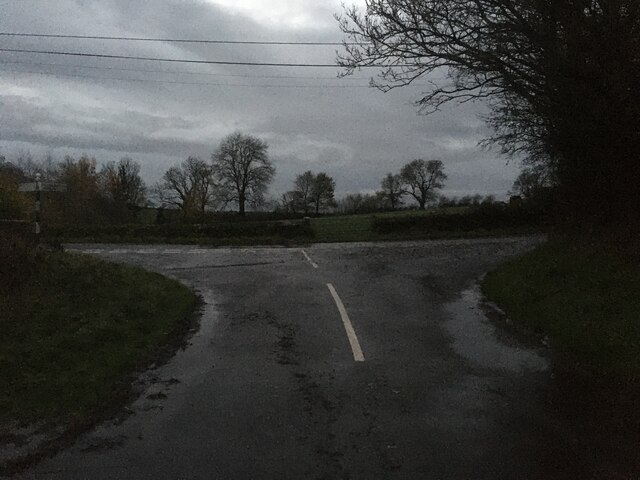
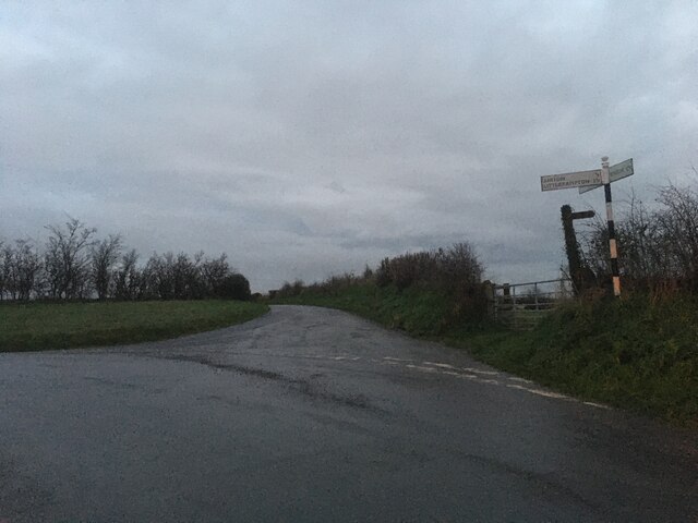
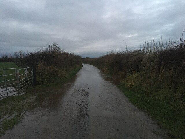
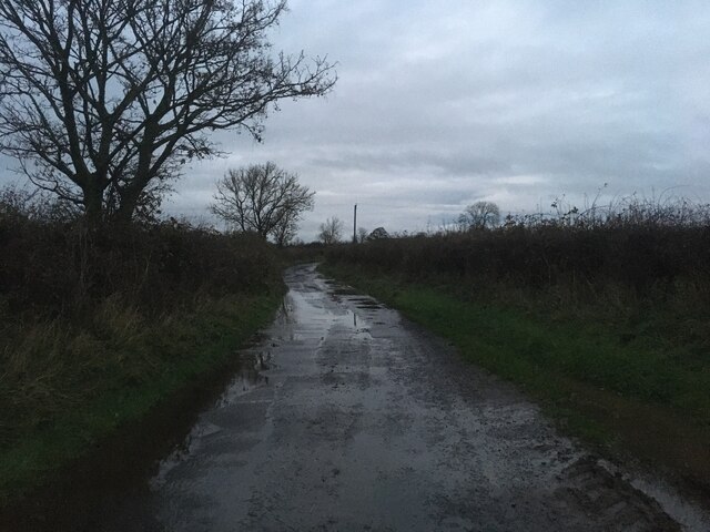
Aikton Images

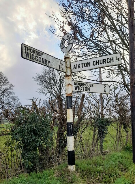
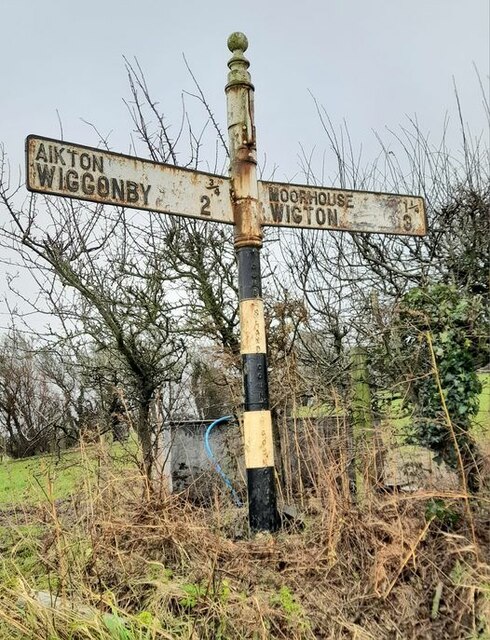
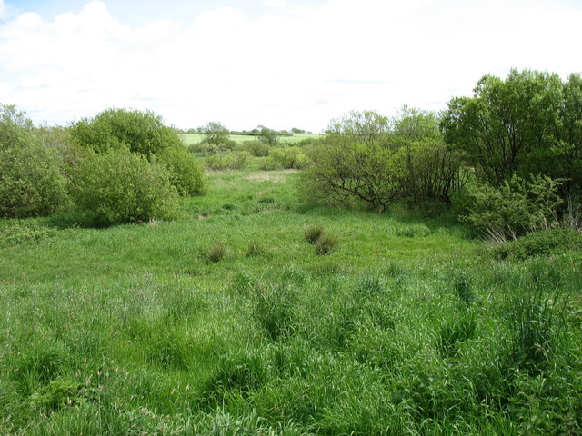
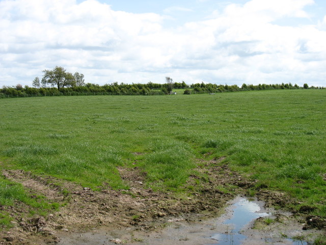
Images are sourced within 2km of 54.870597/-3.131868 or Grid Reference NY2753. Thanks to Geograph Open Source API. All images are credited.

Road junction near Drumleaning
Road junction near Aikton
Flooded road near Aikton
Minor road near Little Bampton
Direction Sign – Signpost at Down Hall Located on the south side of the junction at Down Hall in Aikton parish. 3 arms and annulus finial. 

Milestone Society National ID: CU_NY2852
Direction Sign – Signpost at Down Hall
Located on the south side of the junction at Down Hall in Aikton parish. 3 arms and annulus finial. Milestone Society National ID: CU_NY2852
Direction Sign – Signpost east of Gamelsby Located on the east side of the junction east of Gamelsby. Aikton parish. 3 arms, 1 missing, and pawn finial. The missing arm was GAMELSBY ¾ / BIGLANDS 1¼ / LAYTHES 3¾, missing some time after August 2021.

Milestone Society National ID: CU_NY2652
Direction Sign – Signpost east of Gamelsby
Located on the east side of the junction east of Gamelsby. Aikton parish. 3 arms, 1 missing, and pawn finial. The missing arm was GAMELSBY ¾ / BIGLANDS 1¼ / LAYTHES 3¾, missing some time after August 2021. Milestone Society National ID: CU_NY2652
Biglands Nature Reserve
Entering Gamelsby
Entering Gamelsby
Fields east of Gamelsby
Wooden Sheds stand on a castle site Hugh de Morville claimed to hold a castle here that was burnt by the Scots in 1232. Excavations carried out here in 1972 found large amounts of burnt timber, and part of a drawbridge was revealed in 1826 when excavating foundations for farm buildings. The cows don't look all that bothered tho.
Wooden Sheds stand on a castle site
Hugh de Morville claimed to hold a castle here that was burnt by the Scots in 1232. Excavations carried out here in 1972 found large amounts of burnt timber, and part of a drawbridge was revealed in 1826 when excavating foundations for farm buildings. The cows don't look all that bothered tho.
Aikton Church & Graveyard A narrow Norman church with later additions c.1869.

Aikton village is a mile away.
Aikton Church & Graveyard
A narrow Norman church with later additions c.1869. Aikton village is a mile away.
Field near Wiggonby Pasture with the grazers inside somewhere.
Field near Wiggonby
Pasture with the grazers inside somewhere.
Wiggonby to Down Hall road There is a maze of yellow roads west of Carlisle.
Wiggonby to Down Hall road
There is a maze of yellow roads west of Carlisle.
Hedgerow oak One of many trees in the hedgerows between Aikton and Wiggonby.
Hedgerow oak
One of many trees in the hedgerows between Aikton and Wiggonby.
Sheep and pasture Near Park House, Aikton
Sheep and pasture
Near Park House, Aikton
Pasture and hedges Grassland, Aikton.
Pasture and hedges
Grassland, Aikton.
Field edge, Aikton Beside a small group of trees.
Field edge, Aikton
Beside a small group of trees.
Signpost, Aikton Cumberland County Council fingerpost.
Signpost, Aikton
Cumberland County Council fingerpost.
Show me another place!

Aikton is located at Grid Ref: NY2753 (Lat: 54.870597, Lng: -3.131868)

Administrative County: Cumbria

District: Allerdale

Police Authority: Cumbria

What 3 Words

///movie.quirky.steam. Near Wigton, Cumbria

Nearby Locations

Aikton Aikton

Related Wikis

Aikton

Aikton is a small village in the north of the English county of Cumbria. The nearest town is Wigton 3 miles away, and the nearest city is Carlisle at 8...

St Andrew's Church, Aikton

St Andrew's Church stands near the village of Aikton, Cumbria, England. It is an active Anglican parish church in the deanery of Carlisle, the archdeaconry...

Drumleaning

Drumleaning is a hamlet in Cumbria, England. It is located 4 miles south of Drumburgh on a low ridge near the Wampool. == References ==

Gamelsby

Gamelsby is a village near Aikton, Cumbria, England. It appears first in written records in 1305 as Gamelesby by Ayketon, and later as Gamelsby in 1332...

Biglands

Biglands is a hamlet in Cumbria, England. It is located to the north of Gamelsby, and east of the River Wampool.It is not the location of Milefortlet 1...

Little Bampton

Little Bampton is a village in Cumbria situated 6 miles outside the market town of Wigton and 8 miles west of Carlisle, England. The village comprises...

Wiggonby

Wiggonby is a hamlet in parish of Aikton and the district of Allerdale, in the English county of Cumbria. Historically in Cumberland, it seven miles away...

Thornby, Cumbria

Thornby is a village in Cumbria, England. == References == The geographic coordinates are from the Ordnance Survey.

Nearby Amenities

Located within 500m of 54.870597,-3.131868
Kilngreen (S bound)
Naptan AtcoCode: 090002011800
Naptan Bearing: S
Naptan BusStopType: CUS
Naptan CommonName: Kilngreen (S bound)
Naptan Indicator: near
Naptan Landmark: telephone box outside Hilltop
Naptan NaptanCode: cumdmtjd
Naptan Street: No name
Naptan Verified: no
Source: naptan_import
Lat/Long: 54.8702519/-3.1317918
Kilngreen (N bound)
Naptan AtcoCode: 090002013262
Naptan Bearing: N
Naptan BusStopType: CUS
Naptan CommonName: Kilngreen (N bound)
Naptan Indicator: near
Naptan Landmark: telephone box outside Tara
Naptan NaptanCode: cumdmtjm
Naptan Street: No name
Naptan Verified: no
Source: naptan_import
Lat/Long: 54.8702677/-3.132026
Telephone
Defibrillator
Booth: KX100
Covered: booth
Defibrillator Location: inside old phone box in Aikton
Emergency: defibrillator
Man Made: telephone_box
Lat/Long: 54.8703404/-3.1318137
Grit Bin
Lat/Long: 54.8703743/-3.1318137
Post Box
Post Box Type: lamp
Ref: CA7 414
Royal Cypher: EIIR
Royal Cypher Wikidata: Q33102113
Lat/Long: 54.8703203/-3.1318137
Aikton
Place: village
Lat/Long: 54.8702931/-3.1325885
Generator Output Electricity: yes
Generator Source: solar
Generator Type: solar_photovoltaic_panel
Location: roof
Power: generator
Lat/Long: 54.8725726/-3.1314898
Generator Output Electricity: yes
Generator Source: solar
Generator Type: solar_photovoltaic_panel
Location: roof
Power: generator
Lat/Long: 54.872284/-3.1317043
Generator Output Electricity: yes
Generator Source: solar
Generator Type: solar_photovoltaic_panel
Location: roof
Power: generator
Lat/Long: 54.8687187/-3.1317258
Power: pole
Lat/Long: 54.8669927/-3.1304078
Power: pole
Lat/Long: 54.8679182/-3.1301829
Power: pole
Lat/Long: 54.86883/-3.1299294
Power: pole
Lat/Long: 54.8695767/-3.1298119
Power: pole
Lat/Long: 54.8703263/-3.129681
Power: pole
Lat/Long: 54.8713733/-3.1294628
Power: pole
Lat/Long: 54.872287/-3.1293218
Power: pole
Lat/Long: 54.873222/-3.1291942
Power: pole
Lat/Long: 54.8738701/-3.1291153
Power: pole
Lat/Long: 54.8688509/-3.1294843
Power: pole
Lat/Long: 54.8688323/-3.1284714
Power: pole
Lat/Long: 54.8688149/-3.126819
Power: pole
Lat/Long: 54.8687882/-3.1250677
The data included in this document is from www.openstreetmap.org. The data is made available under ODbL.

Have you been to Aikton?

Leave your review of Aikton below (or comments, questions and feedback).