Elkington, South
Settlement in Lincolnshire East Lindsey
England
Elkington, South
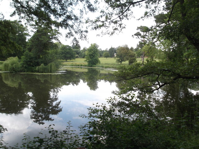
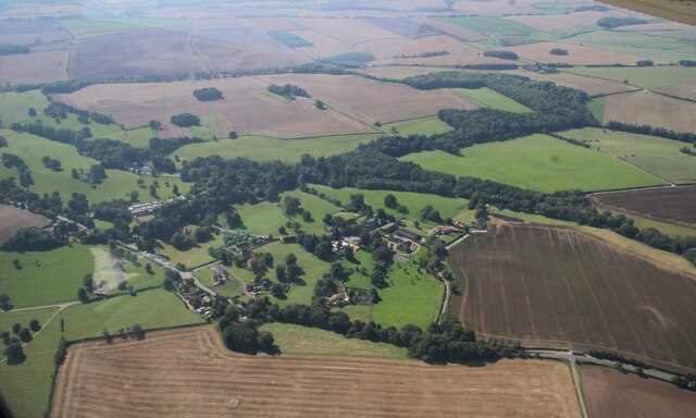
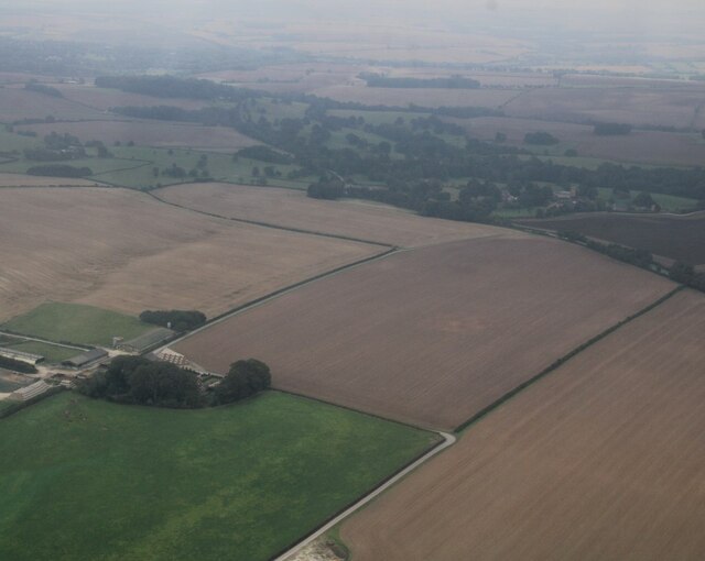
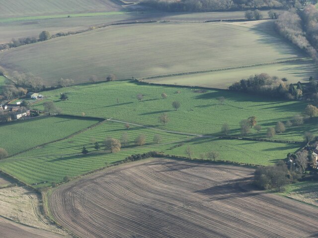
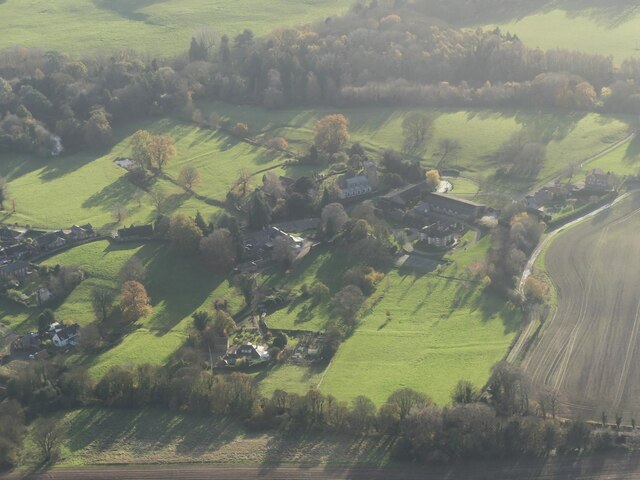
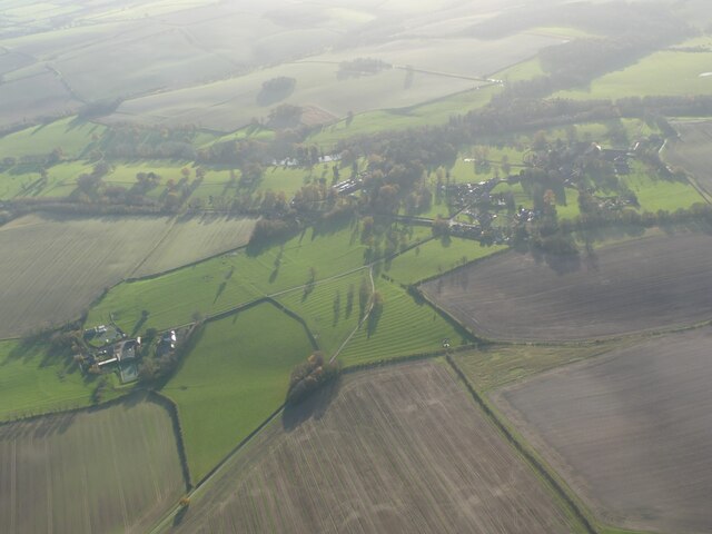
Elkington is a small village located in the South Kesteven district of Lincolnshire, England. Situated about 4 miles east of Louth, Elkington boasts a picturesque countryside setting with rolling hills and charming rural landscapes. The village is nestled within the Lincolnshire Wolds, an Area of Outstanding Natural Beauty, offering residents and visitors alike ample opportunities for outdoor activities such as hiking, cycling, and wildlife spotting.
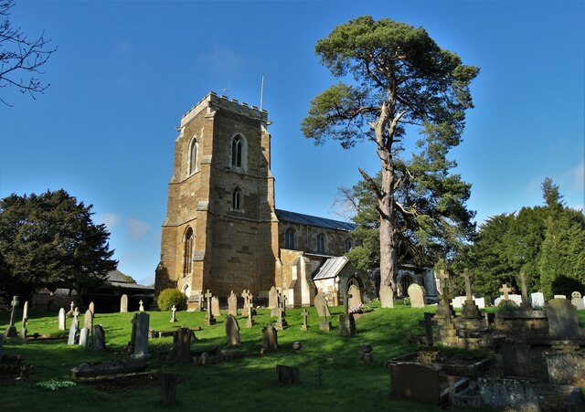
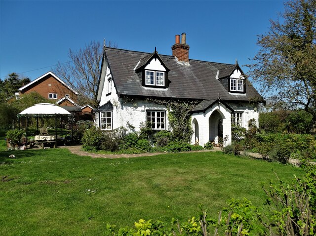
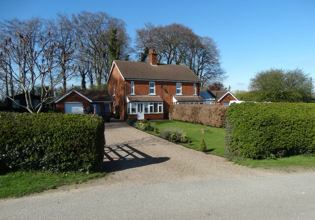
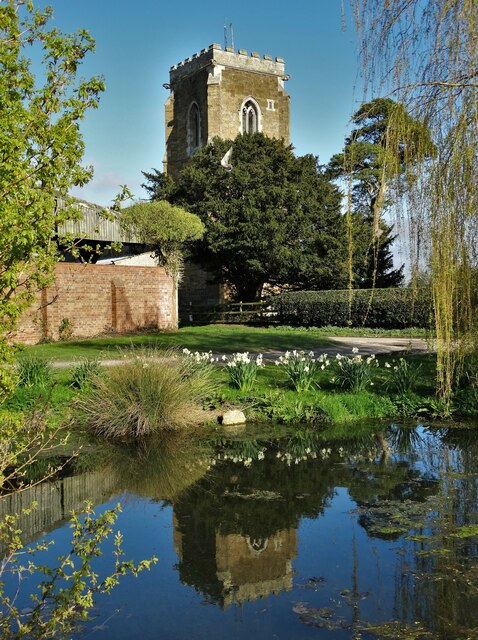
The village itself is relatively small, with a population of around 200 residents. It retains a sense of tranquility and a close-knit community atmosphere. The architecture in Elkington is predominantly traditional, with a mix of charming cottages, farmhouses, and a few larger period properties. The historic St. Mary's Church, dating back to the 13th century, stands as a notable landmark in the village.
While Elkington is primarily a residential area, it benefits from its close proximity to Louth, a bustling market town that provides residents with access to a wider range of amenities and services. Louth offers a variety of shops, supermarkets, schools, and recreational facilities, ensuring that residents have everything they need within a short distance.
Overall, Elkington offers a peaceful and idyllic setting for those seeking a quieter rural lifestyle within easy reach of essential amenities. Its scenic beauty and charming community make it an attractive place to live or visit for nature lovers and those looking for a slower pace of life.
If you have any feedback on the listing, please let us know in the comments section below.
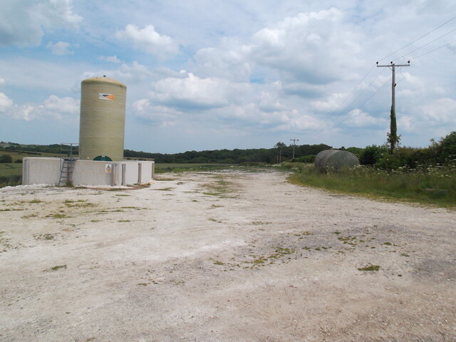
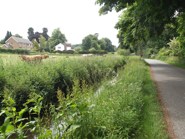
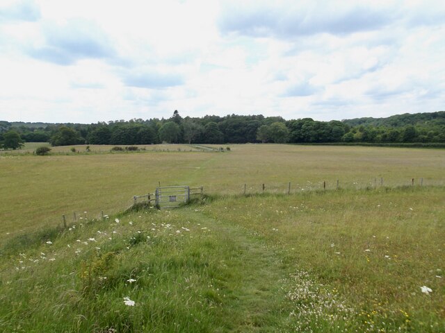
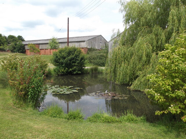
Elkington, South Images
Images are sourced within 2km of 53.376988/-0.052469 or Grid Reference TF2988. Thanks to Geograph Open Source API. All images are credited.


Elkington, South is located at Grid Ref: TF2988 (Lat: 53.376988, Lng: -0.052469)
Division: Parts of Lindsey
Administrative County: Lincolnshire
District: East Lindsey
Police Authority: Lincolnshire
What 3 Words
///community.derailed.simmer. Near Louth, Lincolnshire
Related Wikis

Acthorpe
Acthorpe is a hamlet in the East Lindsey district of Lincolnshire, England. It is situated approximately 2 miles (3 km) north-west from the town of Louth...

Hubbard's Hills
Hubbard's Hills is an area of natural beauty directly to the west of Louth, Lincolnshire, England and is popular for family picnics, school field trips...

Welton Le Wold
Welton le Wold is a village and civil parish in the East Lindsey district of Lincolnshire, England. It is situated approximately 4 miles (6 km) west of...

Hallington
Hallington is a small village and civil parish in the East Lindsey district of Lincolnshire, England. It is situated 2 miles (3 km) south-west from the...

County Hospital Louth
County Hospital Louth is a healthcare facility in High Holme Road, Louth, Lincolnshire, England. It is managed by United Lincolnshire Hospitals NHS Trust...
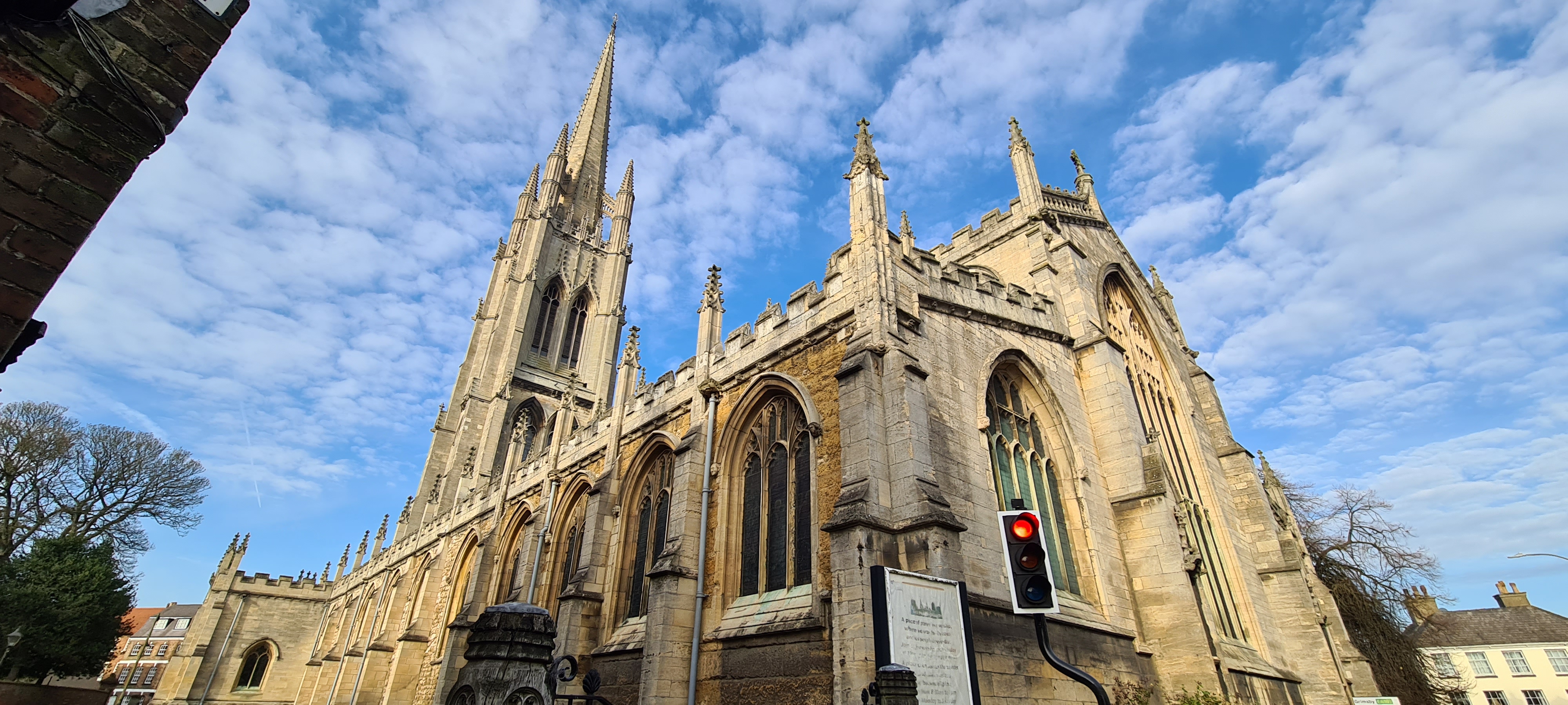
St James' Church, Louth
St James' Church, Louth, is the Anglican parish church of Louth in Lincolnshire, England. It is notable for having the third tallest spire in the whole...

Louth North railway station
Louth North railway station is the future southern terminus of the Lincolnshire Wolds Railway where it will occupy a new site on the Fairfield industrial...
King Edward VI Grammar School, Louth
King Edward VI Grammar School (sometimes abbreviated to KEVIGS) is a grammar school located in Louth, Lincolnshire, England. == History == As early as...
Nearby Amenities
Located within 500m of 53.376988,-0.052469Have you been to Elkington, South?
Leave your review of Elkington, South below (or comments, questions and feedback).