Family Pond
Lake, Pool, Pond, Freshwater Marsh in Lincolnshire East Lindsey
England
Family Pond
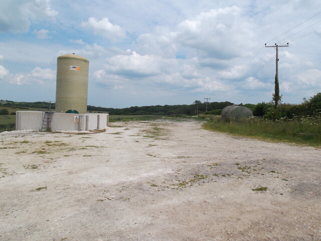
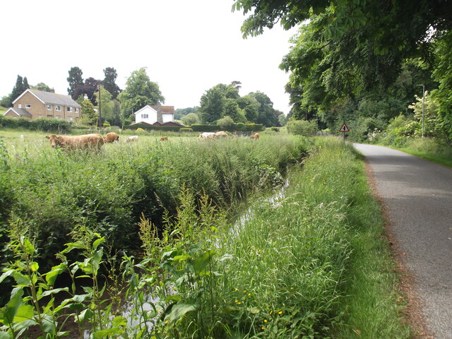
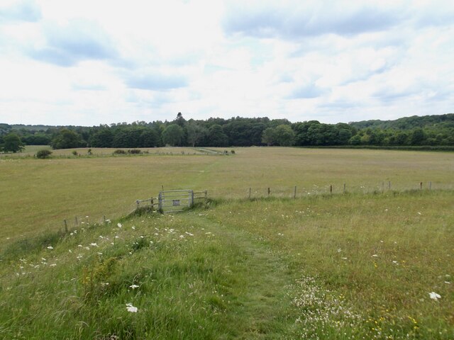
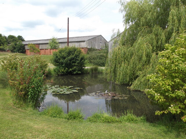
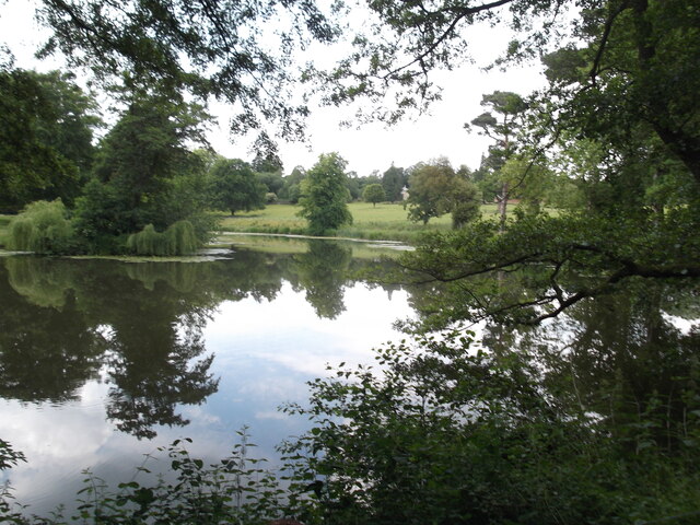
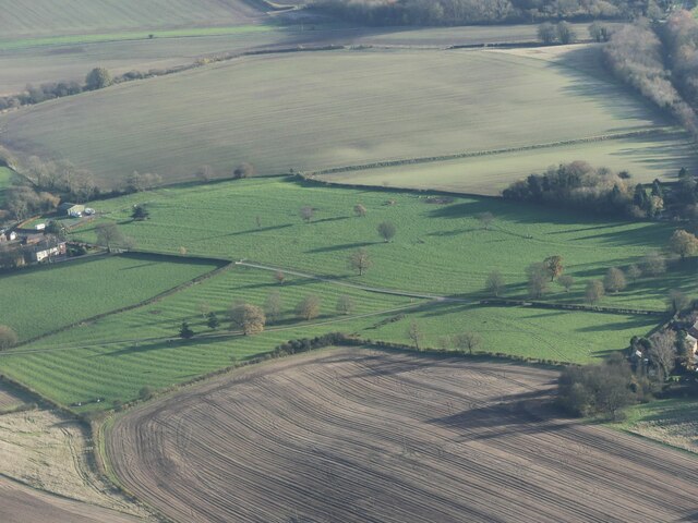
Family Pond is a serene freshwater ecosystem located in the picturesque region of Lincolnshire, England. Spanning an area of approximately ten acres, it encompasses a combination of a lake, pool, pond, and freshwater marsh, making it a diverse habitat for various aquatic species.
The pond itself is the central feature of the area, with crystal clear waters reflecting the surrounding lush greenery. It is fed by several natural springs, ensuring a constant flow of freshwater and maintaining its pristine condition throughout the year. The pond is relatively shallow, with an average depth of four feet, providing a suitable environment for aquatic plants and a range of fish species.
Surrounding the pond are areas known as pools, which are smaller bodies of water connected to the main pond. These pools serve as breeding grounds for amphibians and provide a habitat for a variety of water-dwelling creatures.
Adjacent to the pond and pools is a freshwater marsh, characterized by its rich vegetation and diverse plant species. The marsh acts as a natural filter, purifying the water and providing a habitat for numerous insects, birds, and small mammals.
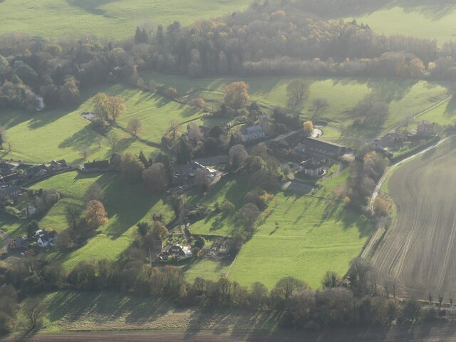
Visitors to Family Pond can enjoy a tranquil atmosphere, surrounded by the sounds of chirping birds and the gentle rustle of leaves. The area is popular for recreational activities such as fishing, birdwatching, and nature walks, allowing visitors to immerse themselves in the beauty of this natural oasis.
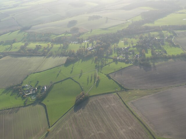
Overall, Family Pond in Lincolnshire offers a unique blend of aquatic habitats, making it an important ecological site and a haven for nature enthusiasts.
If you have any feedback on the listing, please let us know in the comments section below.
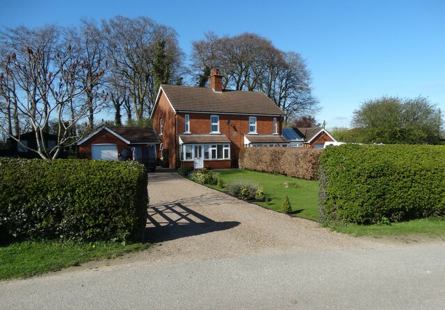
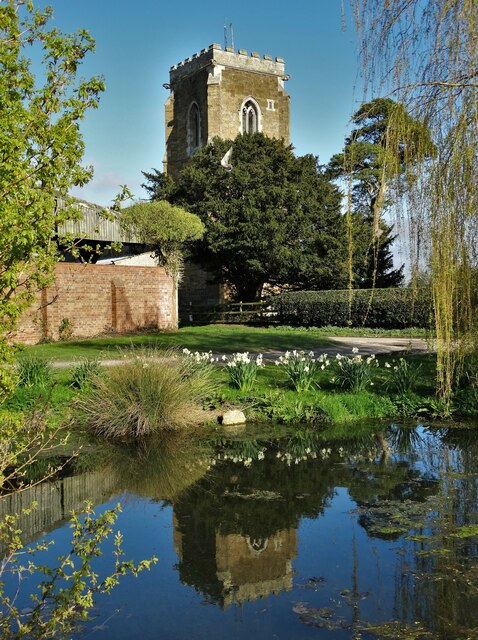
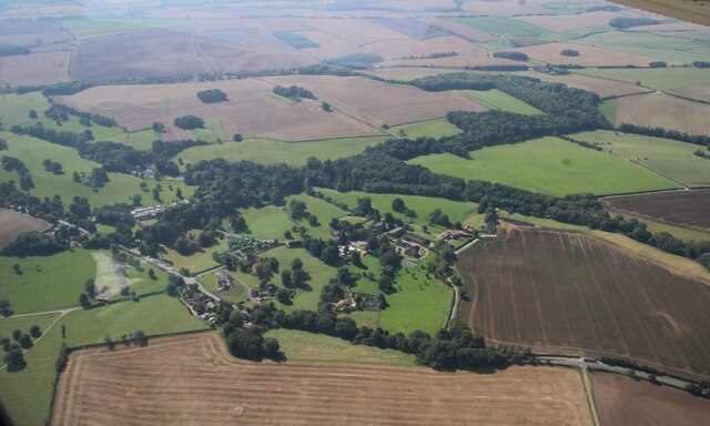
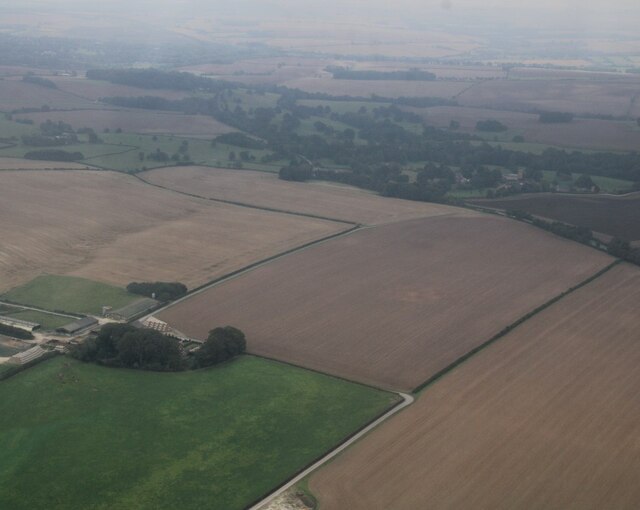
Family Pond Images
Images are sourced within 2km of 53.374156/-0.054316649 or Grid Reference TF2988. Thanks to Geograph Open Source API. All images are credited.


Family Pond is located at Grid Ref: TF2988 (Lat: 53.374156, Lng: -0.054316649)
Administrative County: Lincolnshire
District: East Lindsey
Police Authority: Lincolnshire
What 3 Words
///boots.norms.mint. Near Louth, Lincolnshire
Related Wikis

Acthorpe
Acthorpe is a hamlet in the East Lindsey district of Lincolnshire, England. It is situated approximately 2 miles (3 km) north-west from the town of Louth...

Welton Le Wold
Welton le Wold is a village and civil parish in the East Lindsey district of Lincolnshire, England. It is situated approximately 4 miles (6 km) west of...

Hubbard's Hills
Hubbard's Hills is an area of natural beauty directly to the west of Louth, Lincolnshire, England and is popular for family picnics, school field trips...

Hallington
Hallington is a small village and civil parish in the East Lindsey district of Lincolnshire, England. It is situated 2 miles (3 km) south-west from the...

County Hospital Louth
County Hospital Louth is a healthcare facility in High Holme Road, Louth, Lincolnshire, England. It is managed by United Lincolnshire Hospitals NHS Trust...

Hallington railway station
Hallington railway station was a station in Hallington, Lincolnshire. == History == The Great Northern Railway planned and built a branch line from Bardney...

King Edward VI Grammar School, Louth
King Edward VI Grammar School (sometimes abbreviated to KEVIGS) is a grammar school located in Louth, Lincolnshire, England. == History == As early as...

St James' Church, Louth
St James' Church, Louth, is the Anglican parish church of Louth in Lincolnshire, England. It is notable for having the third tallest spire in the whole...
Nearby Amenities
Located within 500m of 53.374156,-0.054316649Have you been to Family Pond?
Leave your review of Family Pond below (or comments, questions and feedback).