Icehouse Plantation
Wood, Forest in Lincolnshire East Lindsey
England
Icehouse Plantation
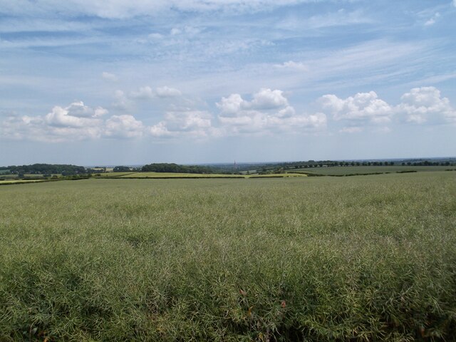
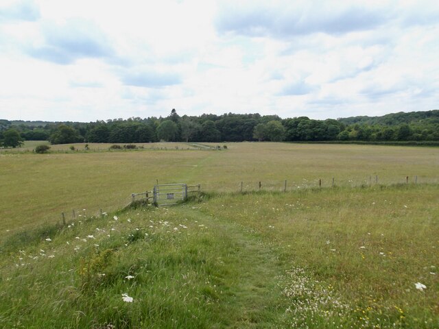
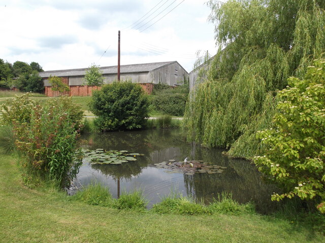
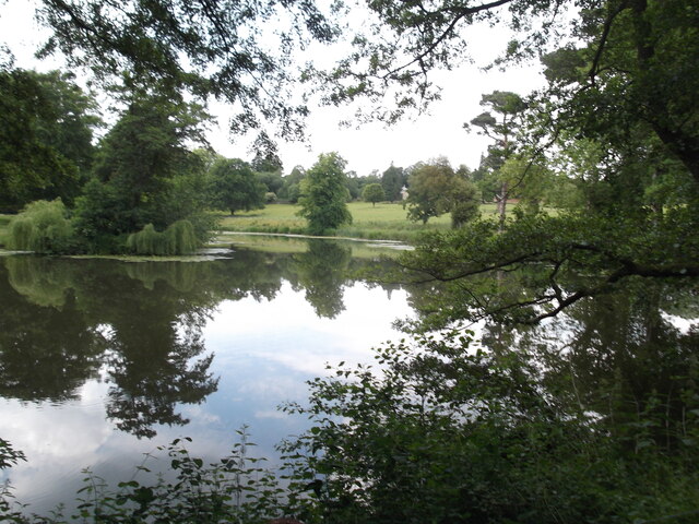
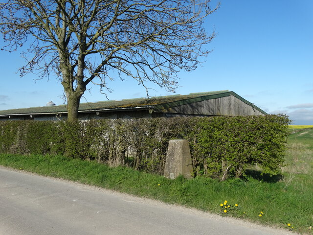
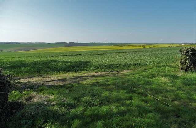
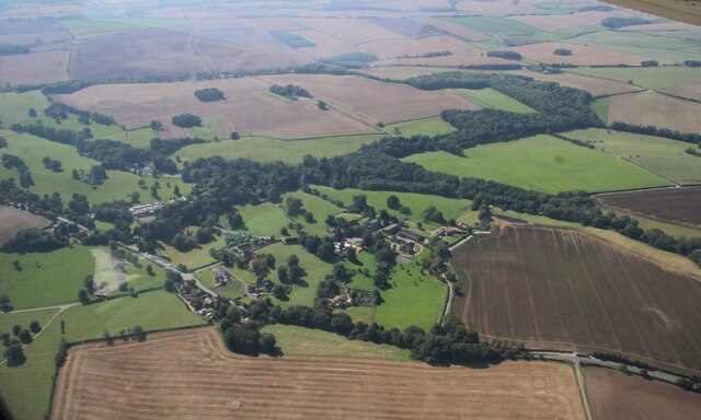
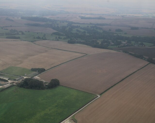
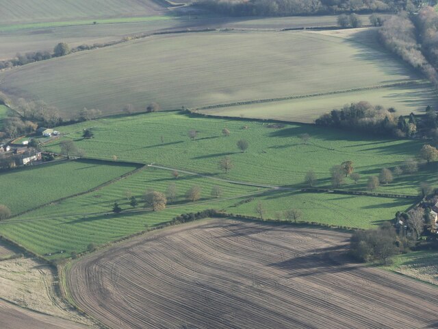
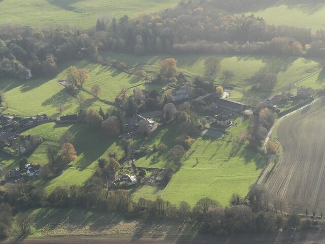
Icehouse Plantation is a picturesque woodland located in Lincolnshire, England. Covering an area of approximately 200 acres, it is a popular destination for nature lovers, hikers, and outdoor enthusiasts. The plantation is predominantly composed of a diverse range of trees, including oak, beech, and pine, creating a beautiful and serene forested landscape.
One of the notable features of Icehouse Plantation is its historic icehouse, which dates back to the 18th century. This structure was used in the past to store ice during the winter months, which was then utilized in the summer for various purposes, such as preserving food and making ice cream. The icehouse serves as a reminder of the area's rich historical significance.
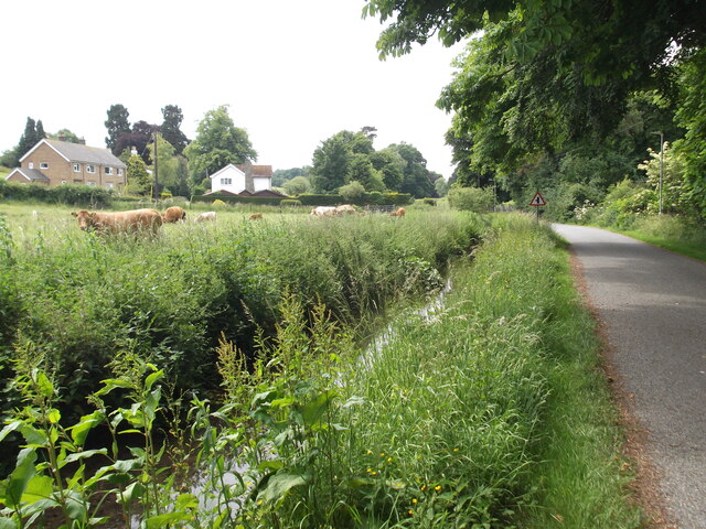
The plantation offers a network of well-maintained trails, allowing visitors to explore the woodland at their own pace. These trails are suitable for both casual strolls and more challenging hikes, providing opportunities to discover the diverse flora and fauna that inhabit the area. Wildlife sightings are common, with a variety of bird species, small mammals, and even occasional deer sightings.
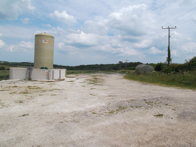
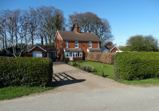
Icehouse Plantation is also home to a number of natural springs and streams, adding to its charm and providing a tranquil atmosphere. The plantation is open to the public year-round, and visitors can enjoy a range of outdoor activities, such as picnicking, birdwatching, and photography. The plantation is easily accessible, with ample parking facilities and well-marked signposts guiding visitors to the various trails and points of interest.
If you have any feedback on the listing, please let us know in the comments section below.
Icehouse Plantation Images
Images are sourced within 2km of 53.373501/-0.054977865 or Grid Reference TF2988. Thanks to Geograph Open Source API. All images are credited.


Icehouse Plantation is located at Grid Ref: TF2988 (Lat: 53.373501, Lng: -0.054977865)
Administrative County: Lincolnshire
District: East Lindsey
Police Authority: Lincolnshire
What 3 Words
///credited.newest.storybook. Near Louth, Lincolnshire
Related Wikis

Acthorpe
Acthorpe is a hamlet in the East Lindsey district of Lincolnshire, England. It is situated approximately 2 miles (3 km) north-west from the town of Louth...

Welton Le Wold
Welton le Wold is a village and civil parish in the East Lindsey district of Lincolnshire, England. It is situated approximately 4 miles (6 km) west of...

Hubbard's Hills
Hubbard's Hills is an area of natural beauty directly to the west of Louth, Lincolnshire, England and is popular for family picnics, school field trips...

Hallington
Hallington is a small village and civil parish in the East Lindsey district of Lincolnshire, England. It is situated 2 miles (3 km) south-west from the...

Hallington railway station
Hallington railway station was a station in Hallington, Lincolnshire. == History == The Great Northern Railway planned and built a branch line from Bardney...

County Hospital Louth
County Hospital Louth is a healthcare facility in High Holme Road, Louth, Lincolnshire, England. It is managed by United Lincolnshire Hospitals NHS Trust...

King Edward VI Grammar School, Louth
King Edward VI Grammar School (sometimes abbreviated to KEVIGS) is a grammar school located in Louth, Lincolnshire, England. == History == As early as...
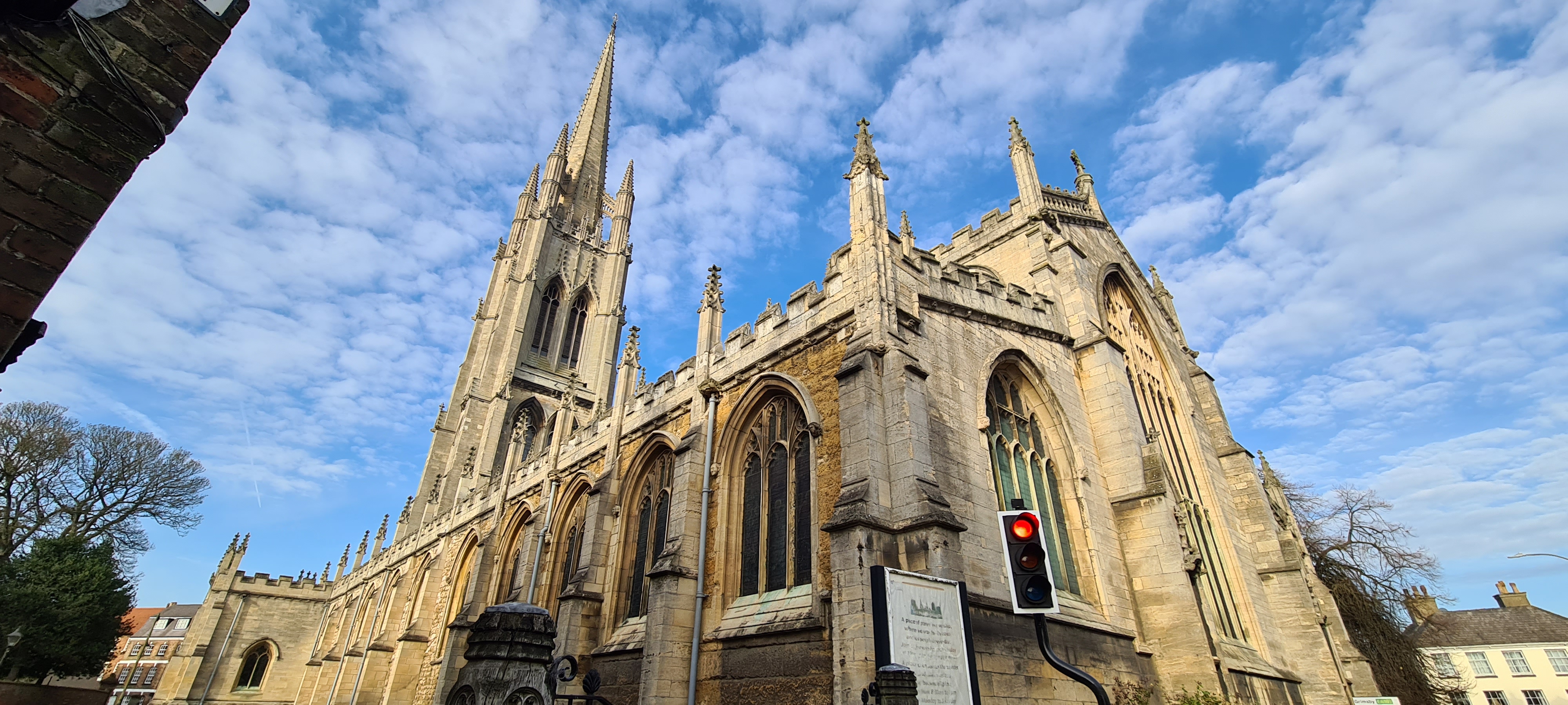
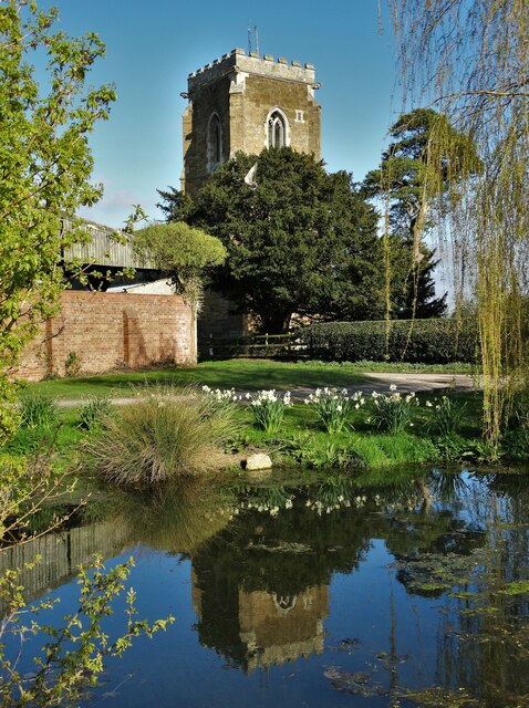
St James' Church, Louth
St James' Church, Louth, is the Anglican parish church of Louth in Lincolnshire, England. It is notable for having the third tallest spire in the whole...
Nearby Amenities
Located within 500m of 53.373501,-0.054977865Have you been to Icehouse Plantation?
Leave your review of Icehouse Plantation below (or comments, questions and feedback).