Kirk Vale
Valley in Lincolnshire East Lindsey
England
Kirk Vale
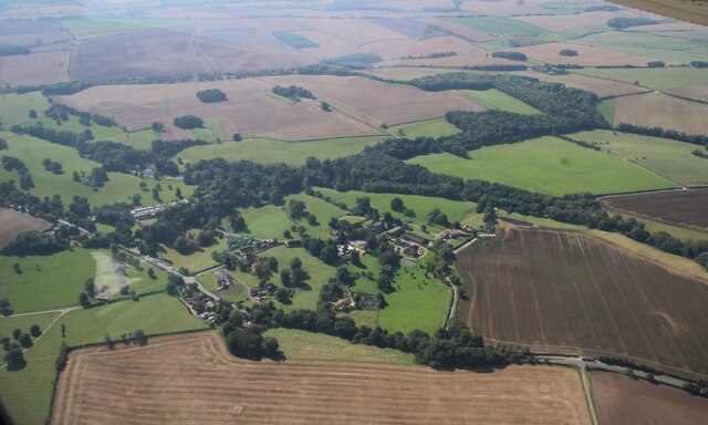
Kirk Vale, located in the county of Lincolnshire, is a picturesque valley that offers stunning natural beauty and a rich history. Nestled between the Lincolnshire Wolds and the Trent Valley, this idyllic location is a haven for nature lovers and history enthusiasts alike.
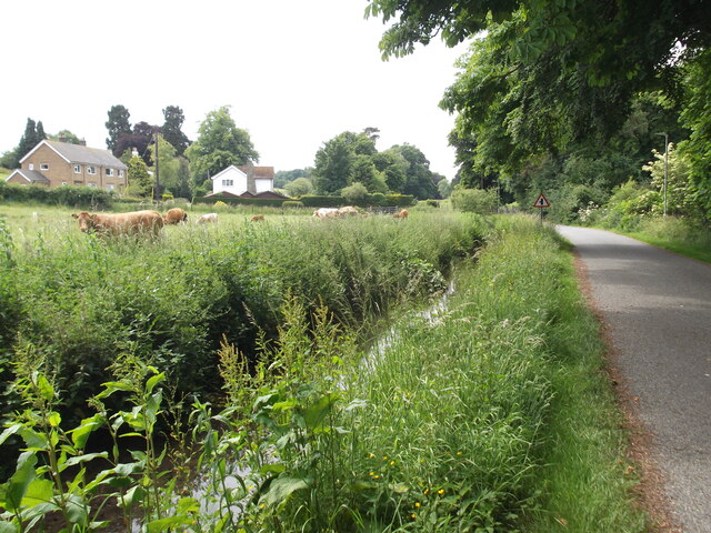
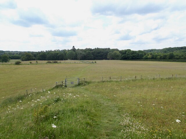
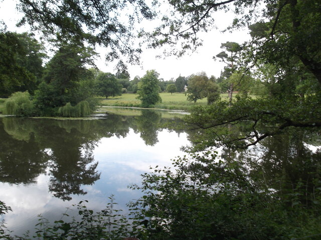
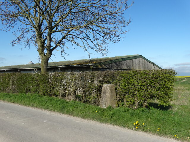
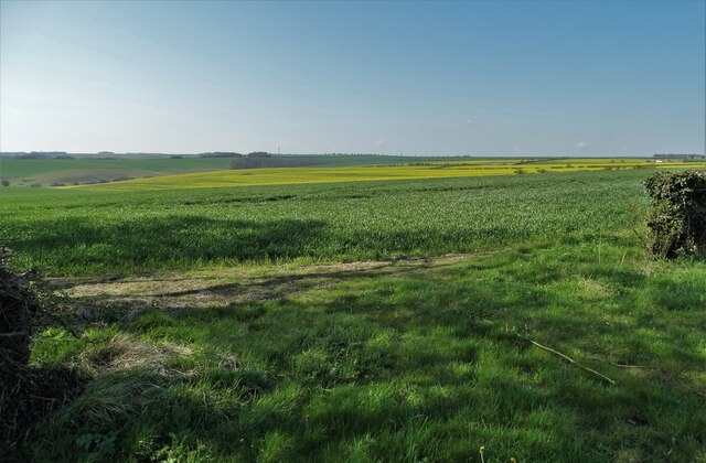
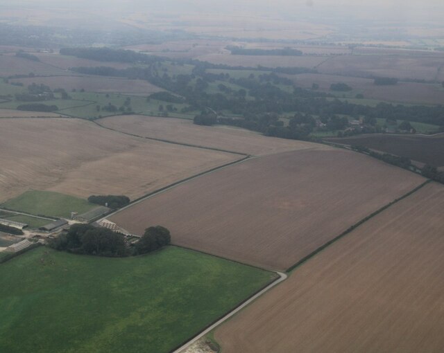
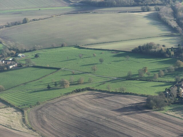
The valley is known for its lush green landscapes, rolling hills, and charming villages. The area is characterized by its fertile soil, making it an ideal location for agriculture. The valley is dotted with farms and fields, where crops such as wheat, barley, and potatoes are grown, contributing to the county's agricultural industry.
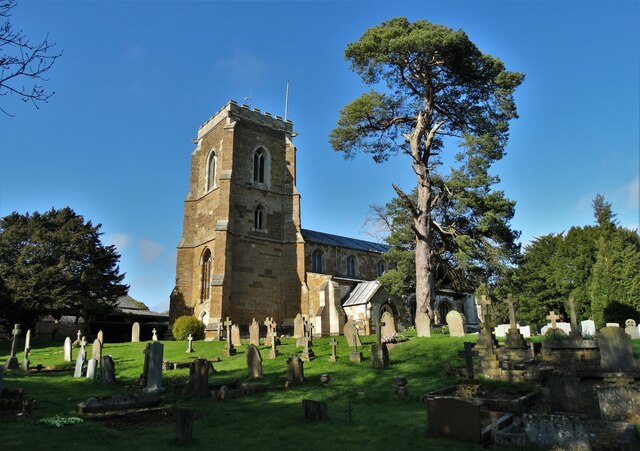
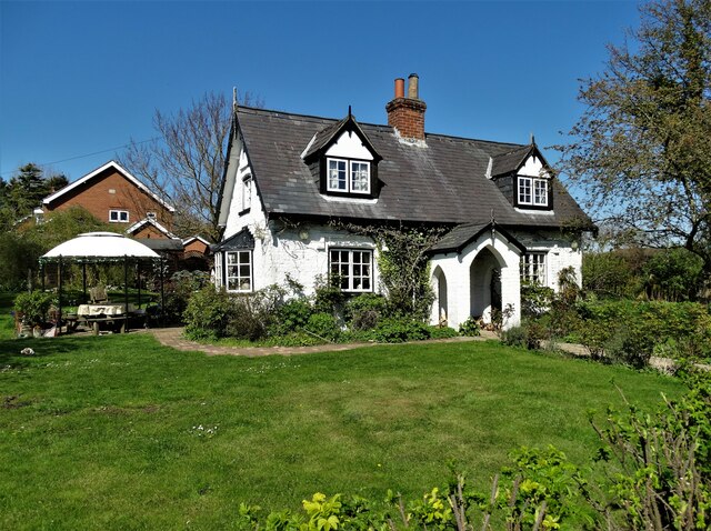
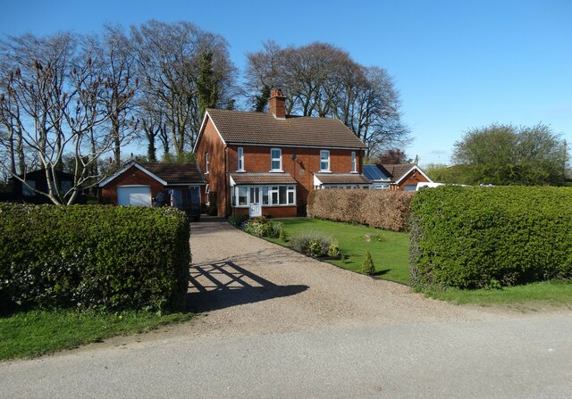
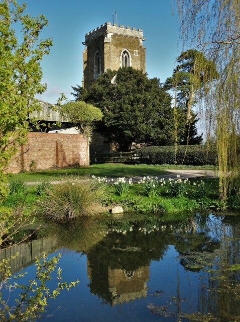
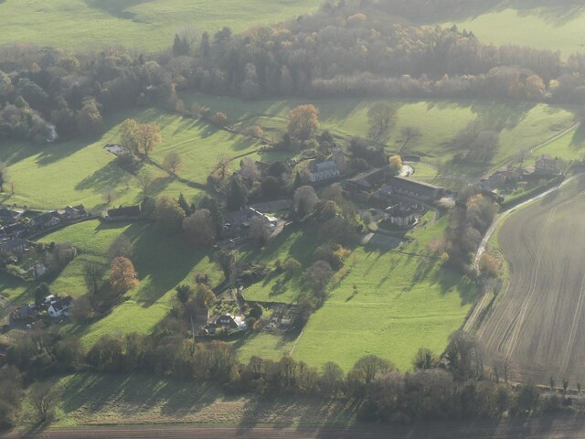
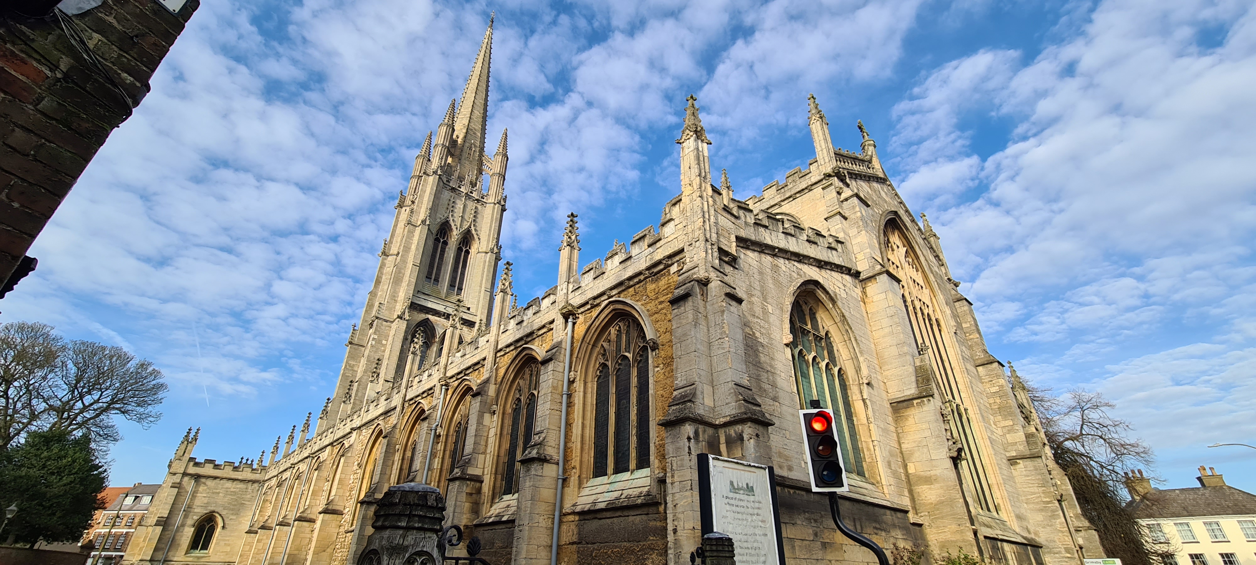
The village of Kirk Vale itself is a small and close-knit community. It is home to a handful of traditional cottages and buildings that add to its rural charm. The village church, St. Andrew's, is a prominent landmark and dates back to the 12th century. Its beautiful architecture and historical significance make it a popular attraction for visitors.
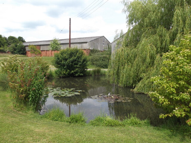
The natural beauty of Kirk Vale is further enhanced by the presence of the River Trent, which flows through the valley. The river provides opportunities for boating, fishing, and leisurely walks along its banks. The surrounding woodlands and nature reserves offer a chance to explore and appreciate the local wildlife, including various species of birds and small mammals.
Overall, Kirk Vale, Lincolnshire is a hidden gem, offering a peaceful and scenic retreat from the hustle and bustle of city life. With its picturesque landscapes, rich history, and abundance of outdoor activities, it is a destination worth exploring for nature enthusiasts and history buffs alike.
If you have any feedback on the listing, please let us know in the comments section below.
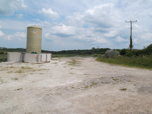
Kirk Vale Images
Images are sourced within 2km of 53.374439/-0.059565369 or Grid Reference TF2988. Thanks to Geograph Open Source API. All images are credited.


Kirk Vale is located at Grid Ref: TF2988 (Lat: 53.374439, Lng: -0.059565369)
Administrative County: Lincolnshire
District: East Lindsey
Police Authority: Lincolnshire
What 3 Words
///polar.drifting.neatly. Near Louth, Lincolnshire
Related Wikis

Acthorpe
Acthorpe is a hamlet in the East Lindsey district of Lincolnshire, England. It is situated approximately 2 miles (3 km) north-west from the town of Louth...

Welton Le Wold
Welton le Wold is a village and civil parish in the East Lindsey district of Lincolnshire, England. It is situated approximately 4 miles (6 km) west of...

Hallington
Hallington is a small village and civil parish in the East Lindsey district of Lincolnshire, England. It is situated 2 miles (3 km) south-west from the...

Hubbard's Hills
Hubbard's Hills is an area of natural beauty directly to the west of Louth, Lincolnshire, England and is popular for family picnics, school field trips...

Hallington railway station
Hallington railway station was a station in Hallington, Lincolnshire. == History == The Great Northern Railway planned and built a branch line from Bardney...

County Hospital Louth
County Hospital Louth is a healthcare facility in High Holme Road, Louth, Lincolnshire, England. It is managed by United Lincolnshire Hospitals NHS Trust...

King Edward VI Grammar School, Louth
King Edward VI Grammar School (sometimes abbreviated to KEVIGS) is a grammar school located in Louth, Lincolnshire, England. == History == As early as...
St James' Church, Louth
St James' Church, Louth, is the Anglican parish church of Louth in Lincolnshire, England. It is notable for having the third tallest spire in the whole...
Nearby Amenities
Located within 500m of 53.374439,-0.059565369Have you been to Kirk Vale?
Leave your review of Kirk Vale below (or comments, questions and feedback).