South Earlswood
Settlement in Surrey Reigate and Banstead
England
South Earlswood

South Earlswood is a small village located in the county of Surrey, England. Situated approximately 20 miles south of London, the village is part of the Reigate and Banstead borough. It is bordered by the larger towns of Redhill to the east and Horley to the west.
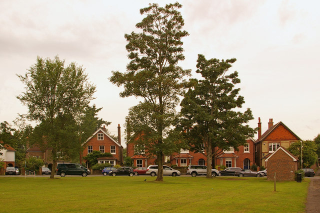
The village is primarily residential, with a mix of detached houses, semi-detached houses, and some apartment buildings. The architecture of the properties in South Earlswood is diverse, ranging from modern designs to more traditional styles. The village has a quiet and peaceful atmosphere, making it an attractive place for families and professionals seeking a suburban lifestyle.
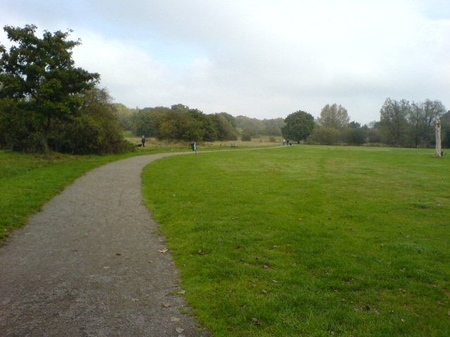
South Earlswood benefits from its proximity to the countryside, with several public green spaces nearby, including Earlswood Common and the Gatton Park. These areas provide opportunities for outdoor activities such as walking, jogging, and picnicking.
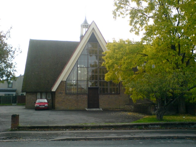
The village has a small but vibrant community, with a local primary school, a church, and a few shops and amenities. For more extensive shopping and entertainment options, residents can easily access the nearby towns of Redhill and Horley, which offer a wider range of facilities.
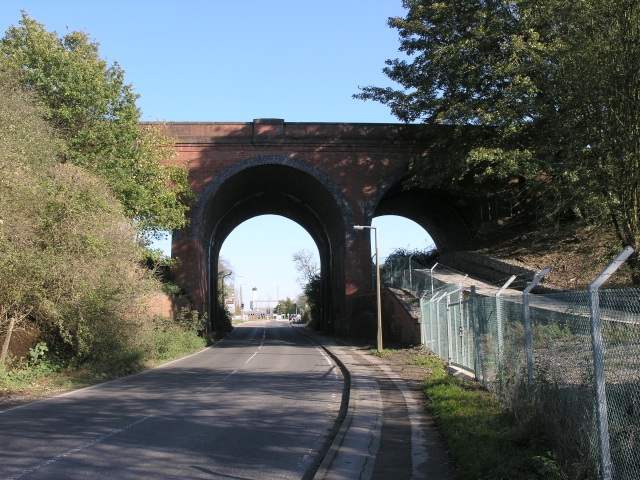
Transport links in South Earlswood are excellent, with its own railway station providing regular services to London and other major towns in the area. The village is also well-connected by road, with the M25 motorway just a short drive away, offering easy access to the rest of the country.
Overall, South Earlswood offers a pleasant and convenient place to live, combining the tranquility of a village setting with the proximity to urban amenities.
If you have any feedback on the listing, please let us know in the comments section below.
South Earlswood Images
Images are sourced within 2km of 51.217704/-0.170569 or Grid Reference TQ2748. Thanks to Geograph Open Source API. All images are credited.


South Earlswood is located at Grid Ref: TQ2748 (Lat: 51.217704, Lng: -0.170569)
Administrative County: Surrey
District: Reigate and Banstead
Police Authority: Surrey
What 3 Words
///buns.cracks.grape. Near Salfords, Surrey
Nearby Locations
Related Wikis

Redhill F.C.
Redhill F.C. is an English football club based in Redhill, Surrey. The club are currently members of the Combined Counties League Premier Division South...

East Surrey Hospital
East Surrey Hospital is a National Health Service hospital in the Whitebushes area to the south of Redhill, in Surrey, England. It is managed by the Surrey...
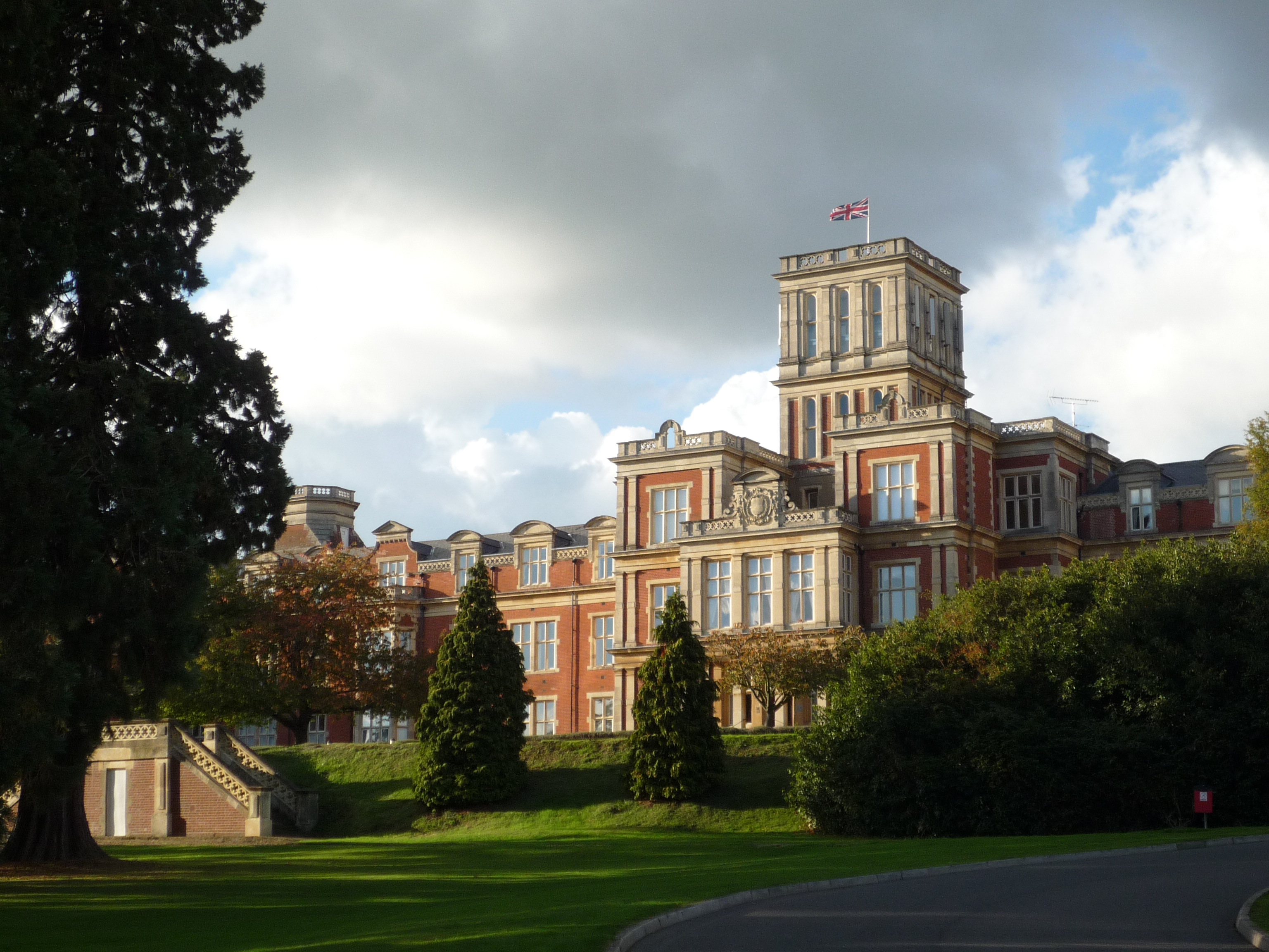
Royal Earlswood Hospital
The Royal Earlswood Hospital, formerly The Asylum for Idiots and The Royal Earlswood Institution for Mental Defectives, in Redhill, Surrey, was the first...
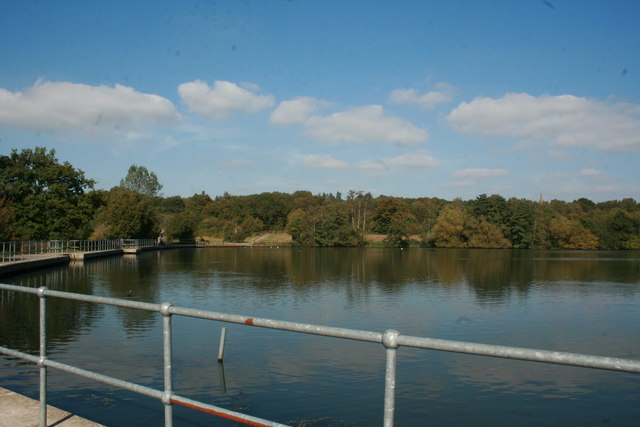
Earlswood Common
Earlswood Common is an 89.1-hectare (220-acre) Local Nature Reserve in Redhill in Surrey. It is owned and managed by Reigate and Banstead Borough Council...
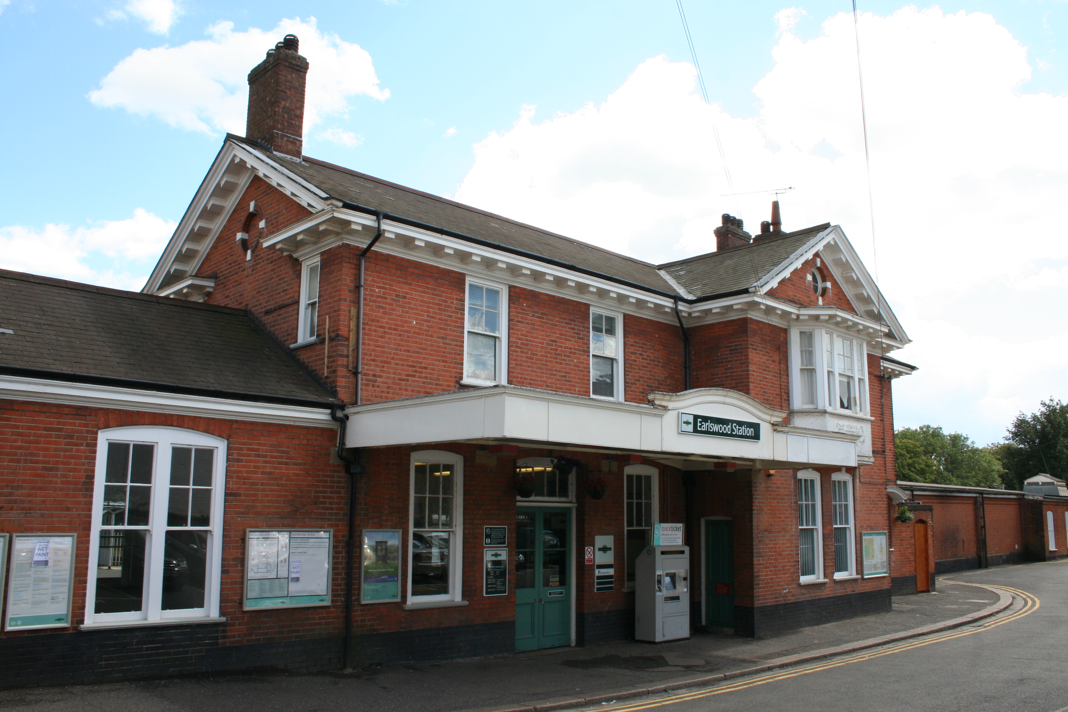
Earlswood railway station (Surrey)
Earlswood railway station serves Earlswood, south of Redhill, in Surrey, England. It is on the Brighton Main Line, 21 miles 50 chains (34.8 km) down the...
Earlswood
Earlswood is a suburb of Redhill in Surrey, England, which lies on the A23 between Redhill (in the direction of London) and Horley (next to Gatwick Airport...
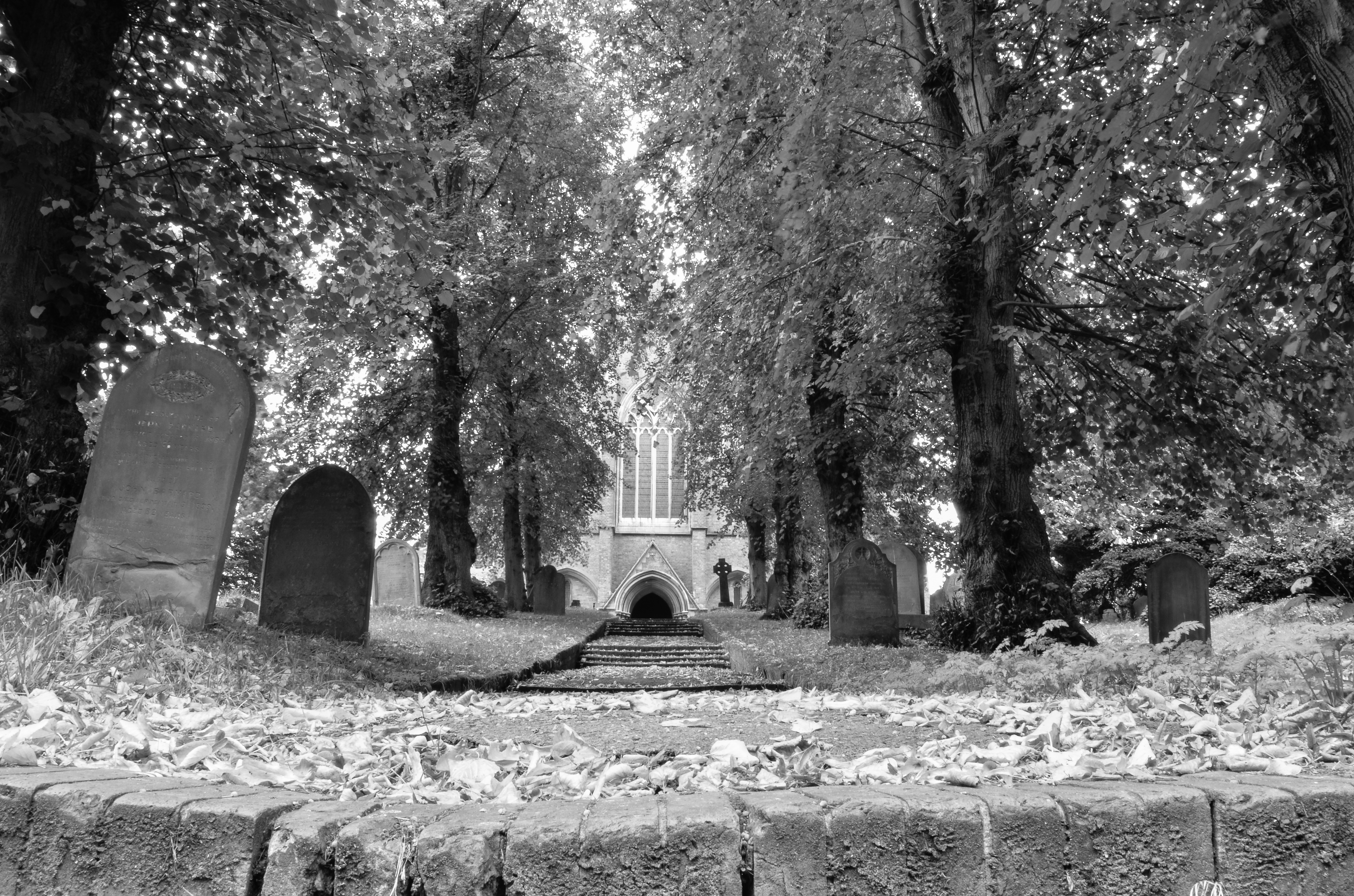
St John's, Redhill
St John's is a hamlet on the fringes of Redhill, Surrey. The small elevated residential community occupies a conservation area circled by Earlswood and...
Meadvale
Meadvale or less commonly Mead Vale is a southern residential suburb that straddles borders of Redhill and Reigate in the borough of Reigate and Banstead...
Nearby Amenities
Located within 500m of 51.217704,-0.170569Have you been to South Earlswood?
Leave your review of South Earlswood below (or comments, questions and feedback).