Sinderhope
Settlement in Northumberland
England
Sinderhope
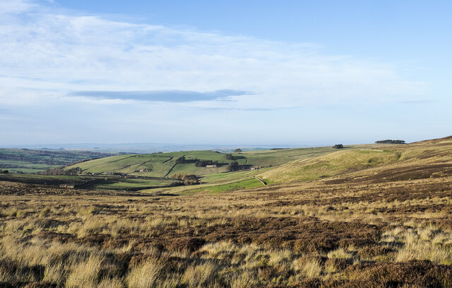
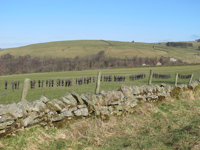
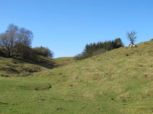
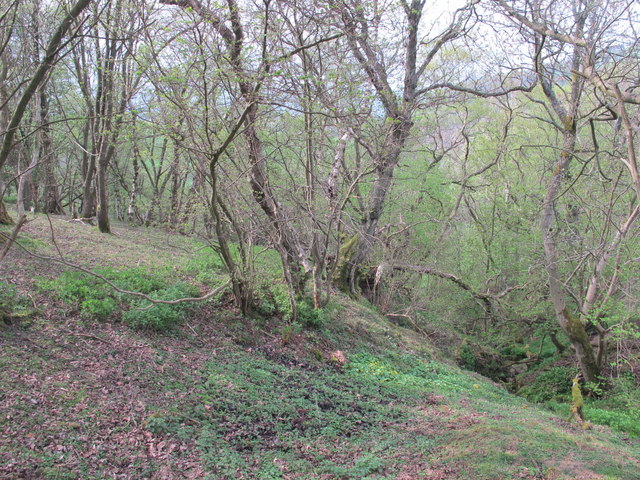
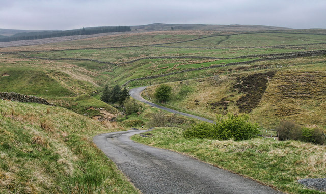
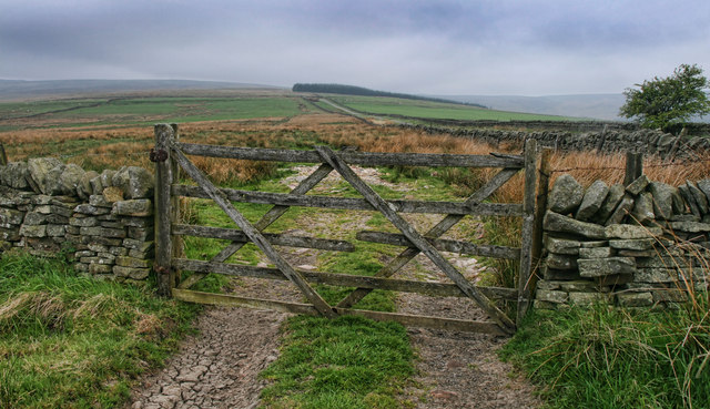
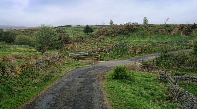
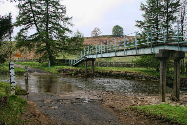
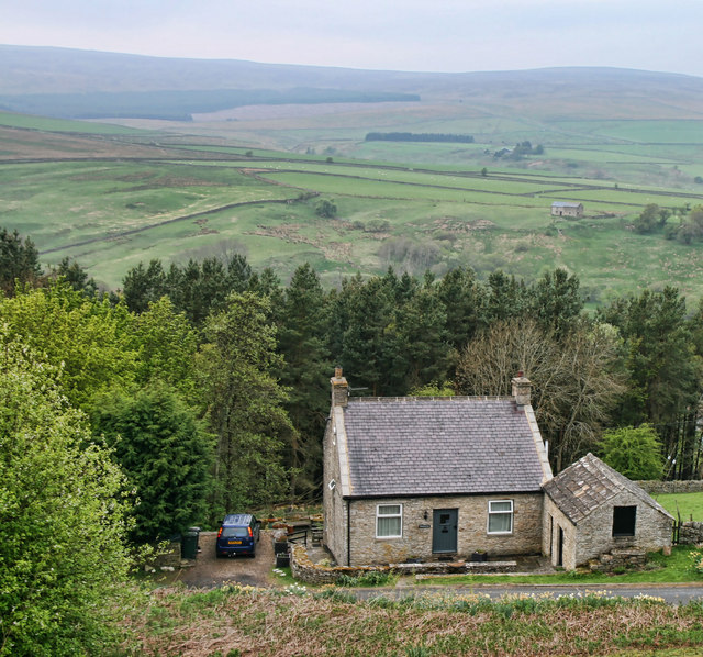
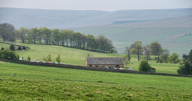
Sinderhope is a small village located in the county of Northumberland, in the northeast of England. Situated within the North Pennines Area of Outstanding Natural Beauty, it enjoys a picturesque setting surrounded by rolling hills and stunning landscapes.
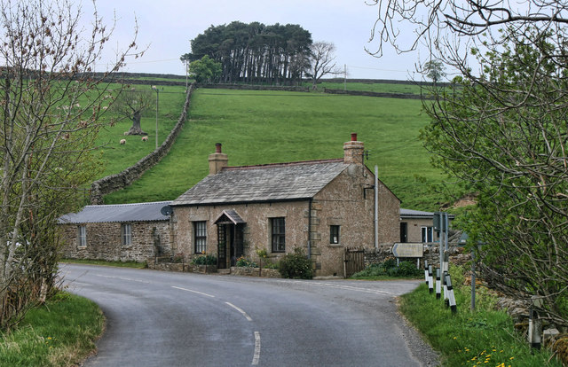
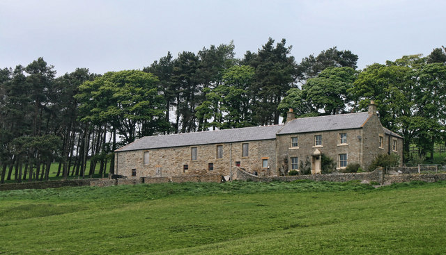
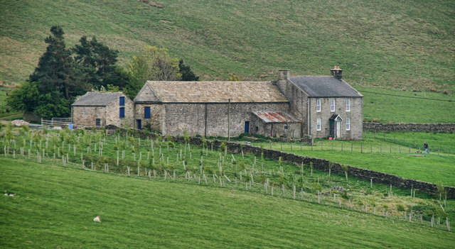
The village itself is home to a tight-knit community and has a population of around 150 residents. The architecture of Sinderhope is predominantly traditional, with charming stone-built houses and cottages that add to its rural charm.
One of the notable features of Sinderhope is its close proximity to the Northumberland National Park, making it an ideal base for outdoor enthusiasts and nature lovers. The park offers a wealth of activities, including hiking, cycling, and birdwatching, with breathtaking views waiting to be discovered.
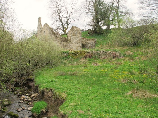
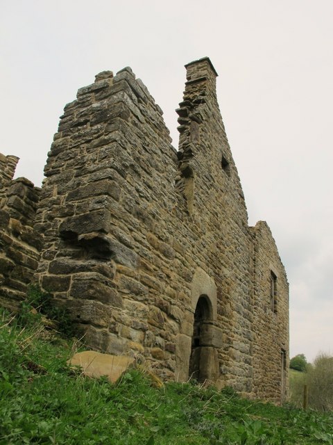
Sinderhope is also known for its mining heritage, which dates back to the 19th century. The area was once a thriving lead mining region, and remnants of this history can still be seen in the form of old mine buildings and the Sinderhope Lead Mine.
Although Sinderhope may be a small village, it is not without amenities. There is a local pub that serves as a hub for the community, offering a place to socialize and unwind. However, for more extensive facilities and services, residents typically venture to nearby towns such as Allendale or Hexham.
Overall, Sinderhope offers a tranquil and idyllic setting, perfect for those seeking a peaceful retreat amidst the beauty of the Northumberland countryside.
If you have any feedback on the listing, please let us know in the comments section below.
Sinderhope Images
Images are sourced within 2km of 54.862026/-2.240975 or Grid Reference NY8451. Thanks to Geograph Open Source API. All images are credited.


Sinderhope is located at Grid Ref: NY8451 (Lat: 54.862026, Lng: -2.240975)
Unitary Authority: Northumberland
Police Authority: Northumbria
What 3 Words
///matchbox.footpath.snatched. Near Haydon Bridge, Northumberland
Nearby Locations
Related Wikis

Sinderhope
Sinderhope is a hamlet situated on the east Allen Valley in south-west Northumberland. The population is spread over farms in an area approximately 25...

Acton, Northumberland
Acton is a small hamlet in Northumberland, north-east England, about 3 miles (5 km) south of Allendale Town. Acton is usually Anglo-Saxon Old English...

Allendale, Northumberland
Allendale, often marked on maps as Allendale Town, is a village and civil parish in south west Northumberland, England. It is located within the North...

Museum of Classic Sci-Fi
The Museum of Classic Sci-Fi is in Allendale, Northumberland in England. The museum opened in 2018 and houses a collection of more than 200 props, costumes...
Nearby Amenities
Located within 500m of 54.862026,-2.240975Have you been to Sinderhope?
Leave your review of Sinderhope below (or comments, questions and feedback).