Allendale
Civil Parish in Northumberland
England
Allendale
Allendale is a civil parish located in the county of Northumberland, England. Situated in the Allen Valleys, it covers an area of approximately 178 square kilometers and is home to a population of around 2,000 residents.
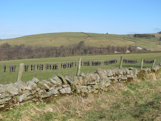
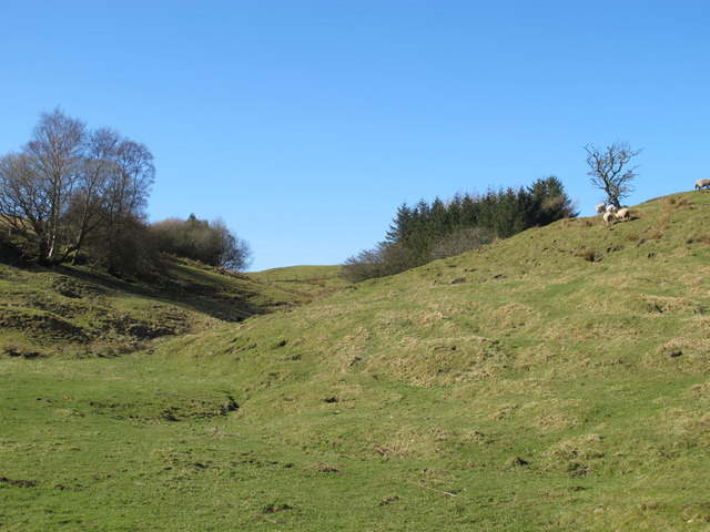
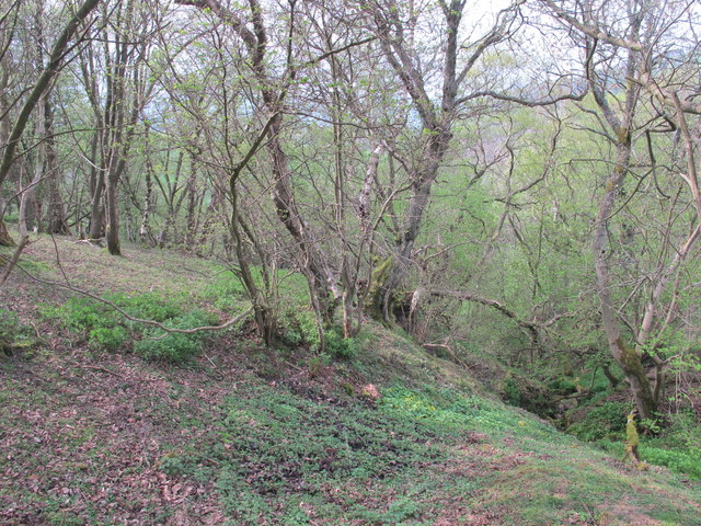
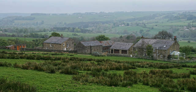
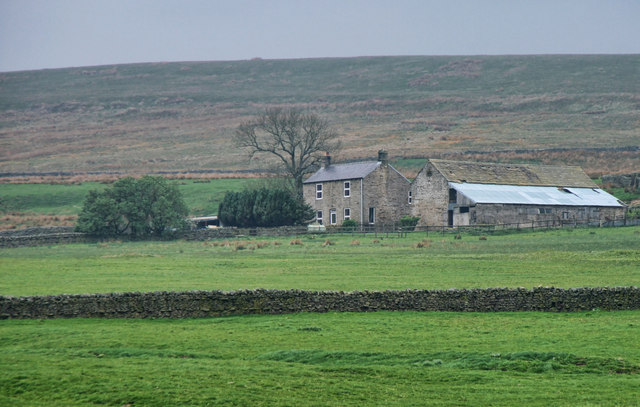
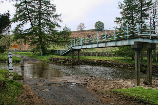
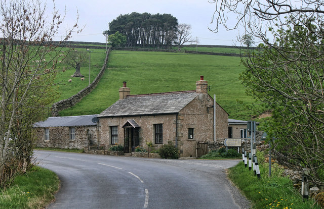
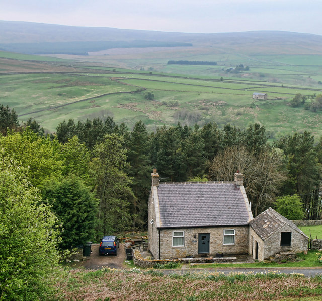
The village of Allendale is the main settlement within the parish and serves as its administrative center. It is nestled in a picturesque landscape surrounded by rolling hills, forests, and rivers. The River Allen, after which the valley is named, flows through the parish, offering stunning views and recreational opportunities.
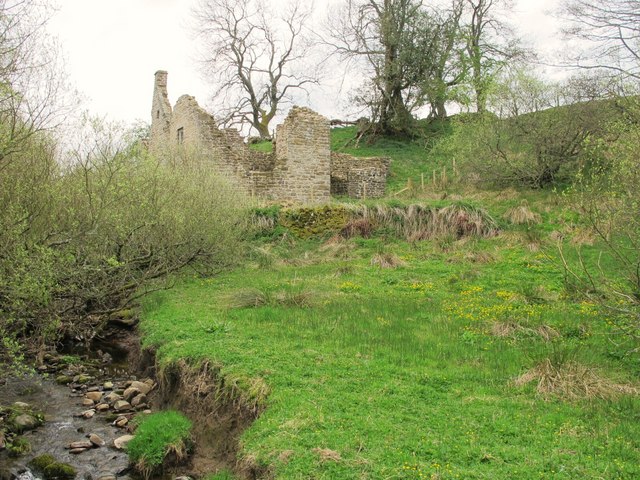
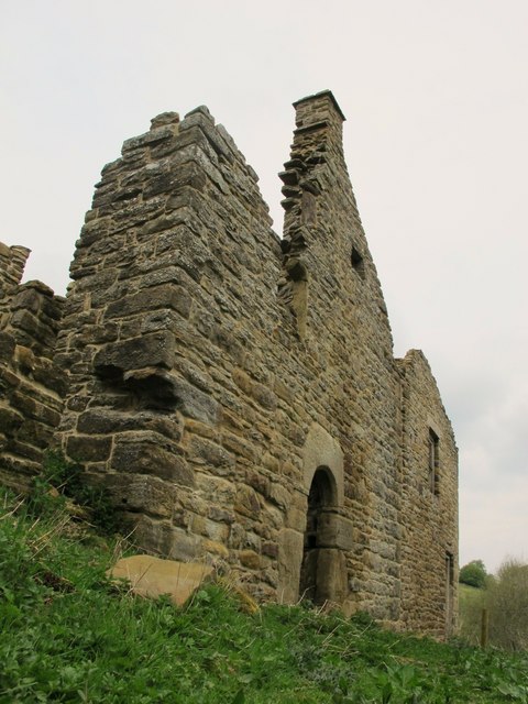
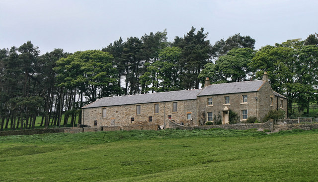
Allendale has a rich history dating back to Roman times. Evidence of Roman settlements and mining activity can still be seen today, with remnants of Hadrian's Wall and the nearby Roman fort of Vindolanda attracting tourists and history enthusiasts. The village itself has charming stone houses and cottages that reflect its traditional character.
The parish is known for its strong sense of community and hosts several annual events that draw visitors from near and far. The Allendale Tar Barrel ceremony, held on New Year's Eve, is a centuries-old tradition where villagers carry flaming whiskey barrels through the streets. The Allendale Agricultural Show, held in the summer, showcases local farming and rural traditions.
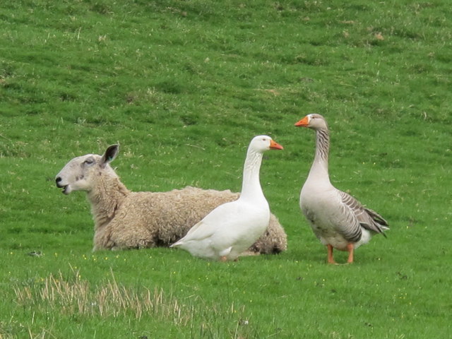
The local economy is primarily based on agriculture, with livestock farming and dairy production being prominent. Tourism also plays a significant role, with visitors drawn to the area for its natural beauty, outdoor activities, and historical attractions.
Overall, Allendale offers a peaceful and scenic setting with a vibrant community, making it an attractive place to live or visit for those seeking a rural escape in Northumberland.
If you have any feedback on the listing, please let us know in the comments section below.
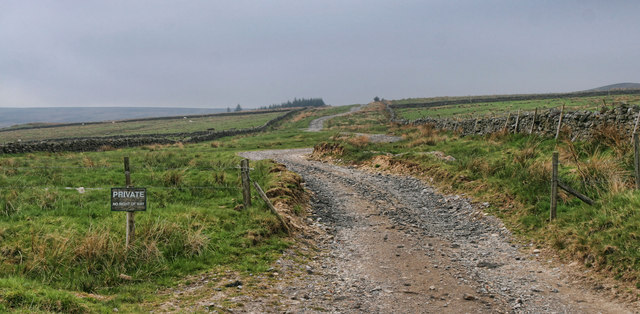
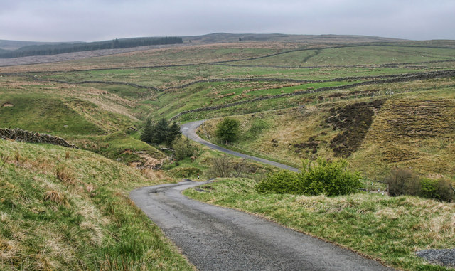
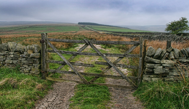
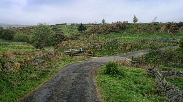
Allendale Images
Images are sourced within 2km of 54.8625/-2.250653 or Grid Reference NY8451. Thanks to Geograph Open Source API. All images are credited.

Allendale is located at Grid Ref: NY8451 (Lat: 54.8625, Lng: -2.250653)
Unitary Authority: Northumberland
Police Authority: Northumbria
What 3 Words
///relations.nurses.repay. Near Haydon Bridge, Northumberland
Nearby Locations
Related Wikis

Sinderhope
Sinderhope is a hamlet situated on the east Allen Valley in south-west Northumberland. The population is spread over farms in an area approximately 25...

Acton, Northumberland
Acton is a small hamlet in Northumberland, north-east England, about 3 miles (5 km) south of Allendale Town. Acton is usually Anglo-Saxon Old English...

Allendale, Northumberland
Allendale, often marked on maps as Allendale Town, is a village and civil parish in south west Northumberland, England. It is located within the North...

Museum of Classic Sci-Fi
The Museum of Classic Sci-Fi is in Allendale, Northumberland in England. The museum opened in 2018 and houses a collection of more than 200 props, costumes...
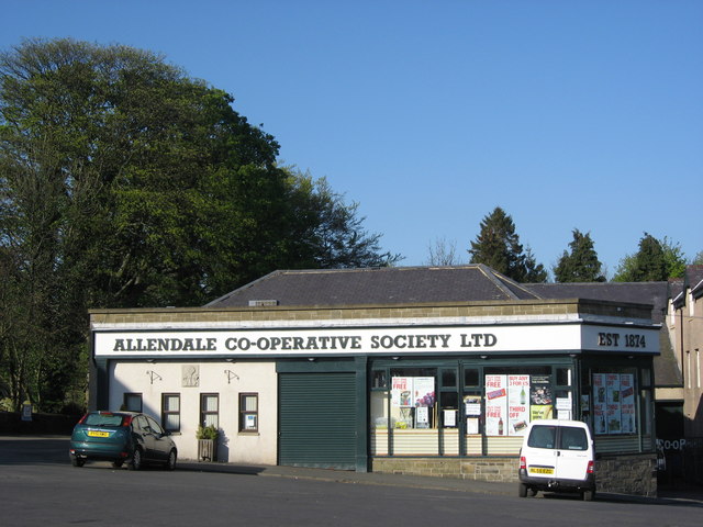
Allendale Co-operative Society
Allendale Co-operative Society is a small consumer co-operative in the village of Allendale, Northumberland, England. Founded in 1874 as the Allendale...

Allendale Moors
Allendale Moors is a Site of Special Scientific Interest (SSSI) in Northumberland, England. The upland moorland ridge site is listed for its heath, flush...

Hexhamshire Moors
Hexhamshire Moors is a Site of Special Scientific Interest covering an extensive area of moorland in the Wear Valley district of north-west County Durham...

Throssel Hole Buddhist Abbey
Throssel Hole Buddhist Abbey is a Buddhist monastery and retreat centre located in Northumberland, in northern England. The monastic order is equally for...
Have you been to Allendale?
Leave your review of Allendale below (or comments, questions and feedback).