Allensmore

Civil Parish in Herefordshire

England

Allensmore

Field near Coed More Farm
Field near Coed More Farm Credit: JThomas

Allensmore is a civil parish located in the county of Herefordshire, England. It is situated approximately 5 miles southeast of the city of Hereford, the county town. The parish covers an area of around 7 square miles and is surrounded by picturesque countryside.

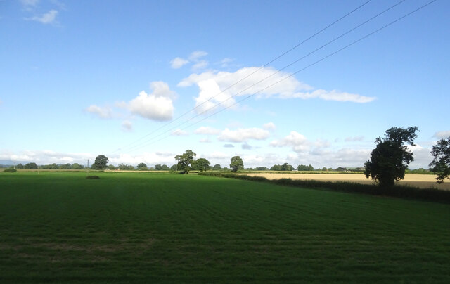
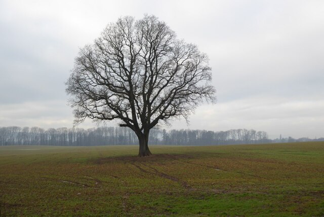
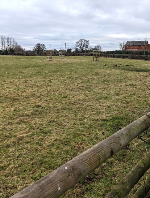
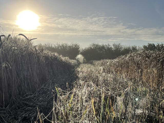
The rural community of Allensmore is home to a population of approximately 600 residents. The area is known for its agricultural heritage, with farming playing a significant role in the local economy. The landscape is characterized by rolling hills, meadows, and farmland, creating a tranquil and scenic environment.

The village itself is small, with a charming rural atmosphere. It features a parish church, St. Andrew's, which dates back to the 12th century and serves as a focal point for the community. The church is renowned for its beautiful stained glass windows and architectural details.

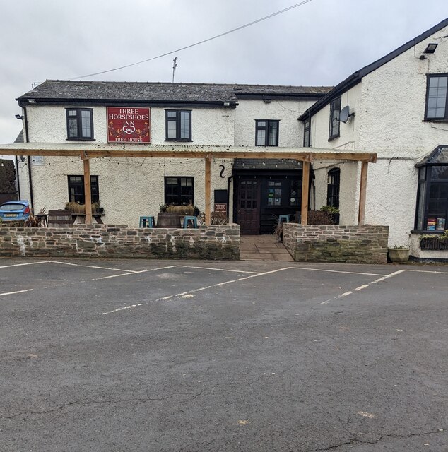
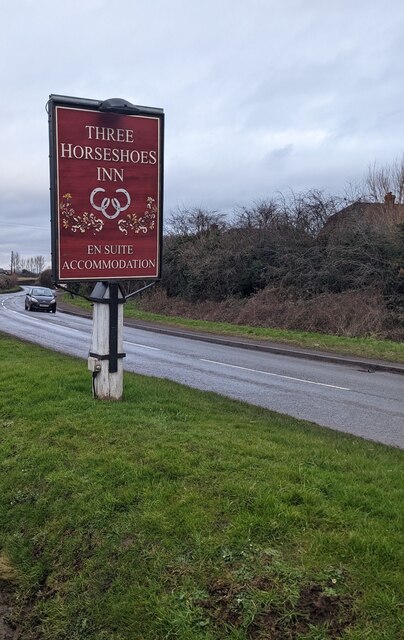
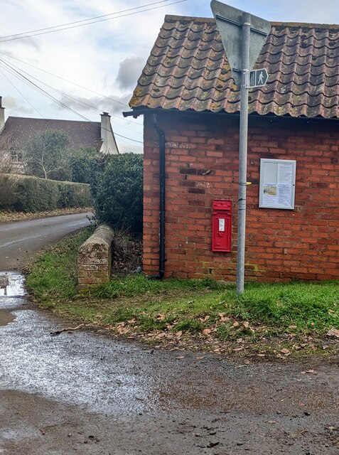
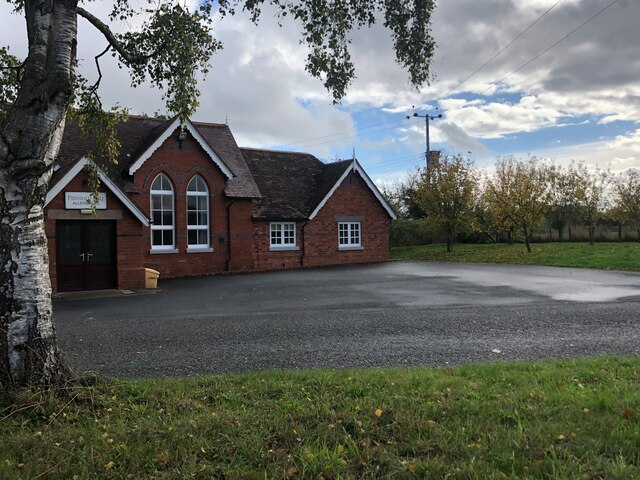
Allensmore offers a range of amenities to its residents, including a primary school, a village hall, and a post office. There are also several small businesses and farms in the area, contributing to the local economy.

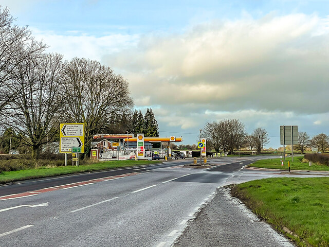
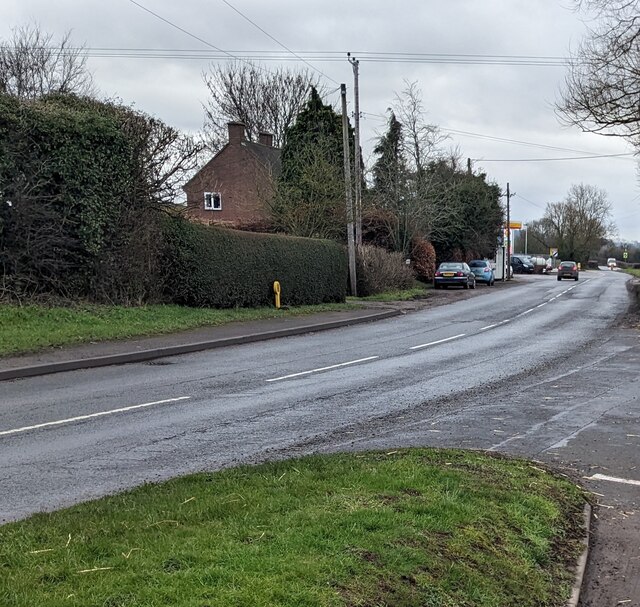
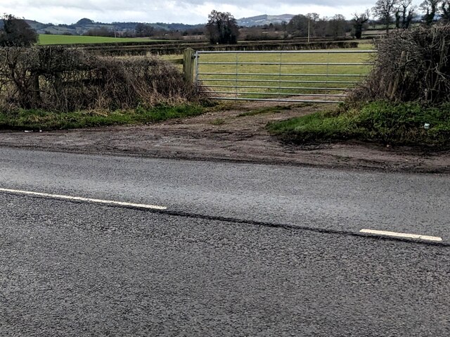
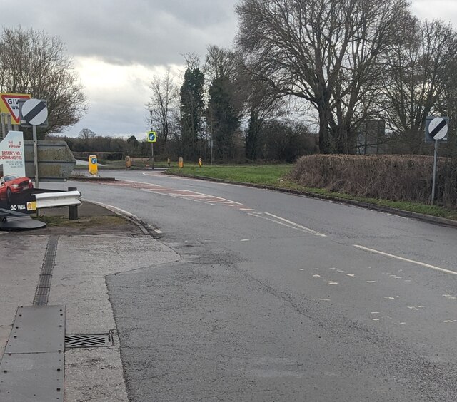
The parish is well-connected to surrounding areas by road, with the A465 passing nearby, providing easy access to Hereford and other nearby towns and villages. The countryside surrounding Allensmore offers opportunities for outdoor activities such as walking, cycling, and horse riding.

Overall, Allensmore is a picturesque and close-knit community that provides a serene countryside lifestyle, while still being within easy reach of amenities and transport links.

If you have any feedback on the listing, please let us know in the comments section below.

Allensmore Images

Images are sourced within 2km of 52.017057/-2.795952 or Grid Reference SO4535. Thanks to Geograph Open Source API. All images are credited.

Field near Coed More Farm
Lock's Garage Petrol station and general store on the A465 by its junction with the B4348.
Lock's Garage
Petrol station and general store on the A465 by its junction with the B4348.
Tree in a field A tree in an arable field at Arkstone Common.
Tree in a field
A tree in an arable field at Arkstone Common.
Three Horseshoes Inn, Allensmore, Herefordshire Set back from the B4348.
Three Horseshoes Inn, Allensmore, Herefordshire
Set back from the B4348.
Three Horseshoes Inn name sign, Allensmore, Herefordshire Alongside the B4348 a few metres from the inn. <a title="https://www.geograph.org.uk/photo/7392887" href="https://www.geograph.org.uk/photo/7392887">Link</a>
Three Horseshoes Inn name sign, Allensmore, Herefordshire
Alongside the B4348 a few metres from the inn. Link
SE along the B4348, Allensmore, Herefordshire Towards the A465 junction.
SE along the B4348, Allensmore, Herefordshire
Towards the A465 junction.
Winter view of a field, Thruxton, Herefordshire Viewed from here <a title="https://www.geograph.org.uk/photo/7394137" href="https://www.geograph.org.uk/photo/7394137">Link</a> in January 2023.
Winter view of a field, Thruxton, Herefordshire
Viewed from here Link in January 2023.
Victorian postbox in a brick wall, Thruxton, Herefordshire Opposite the B4348.
Victorian postbox in a brick wall, Thruxton, Herefordshire
Opposite the B4348.
7-bar field gate, Allensmore Set back from the B4348 in rural Herefordshire.
7-bar field gate, Allensmore
Set back from the B4348 in rural Herefordshire.
End of the 40 zone, Allensmore, Herefordshire On the approach to the A465 junction, the 40mph speed 
limit on the B4348 increases to the National Speed Limit.
End of the 40 zone, Allensmore, Herefordshire
On the approach to the A465 junction, the 40mph speed limit on the B4348 increases to the National Speed Limit.
Pump 16, Allensmore, Herefordshire Shell pump in Lock's Garage Filling Station located 
alongside the B4348 near the A465 junction (ahead).
Pump 16, Allensmore, Herefordshire
Shell pump in Lock's Garage Filling Station located alongside the B4348 near the A465 junction (ahead).
JWA cabin, Allensmore, Herefordshire John Watkins Automotive Ltd cabin located alongside the B4348 near 
the A465 junction. Text in view in January 2023 includes 
"MOTOR REPAIRS & REFINISHERS". The business's main premises
are nearby, in the Lock's Garage site.
JWA cabin, Allensmore, Herefordshire
John Watkins Automotive Ltd cabin located alongside the B4348 near the A465 junction. Text in view in January 2023 includes "MOTOR REPAIRS & REFINISHERS". The business's main premises are nearby, in the Lock's Garage site.
Warning notice, Allensmore, Herefordshire The notice on a wall of Lock's Garage shows
"WARNING 
For Motor Vehicle Tyres Only.
Misuse Of Compressed Air
Is Dangerous
No Bicycles, Toys, Dinghies Or
Similar Inflatables Allowed.
Not for use Unsupervised 
by Anyone under 18yrs.
Machine is Set for A Maximum
Pressure Of: 150 P.S.I. 11 bar
Replace Hose After Use!"

The use of initial capital letters is non-standard.
Warning notice, Allensmore, Herefordshire
The notice on a wall of Lock's Garage shows "WARNING For Motor Vehicle Tyres Only. Misuse Of Compressed Air Is Dangerous No Bicycles, Toys, Dinghies Or Similar Inflatables Allowed. Not for use Unsupervised by Anyone under 18yrs. Machine is Set for A Maximum Pressure Of: 150 P.S.I. 11 bar Replace Hose After Use!" The use of initial capital letters is non-standard.
Waitrose home delivery van, Allensmore, Herefordshire Under the canopy over Shell Diesel pumps 14 and 15
at Lock's Garage Filling Station set back from the B4348.
Waitrose home delivery van, Allensmore, Herefordshire
Under the canopy over Shell Diesel pumps 14 and 15 at Lock's Garage Filling Station set back from the B4348.
Locked toilet door, Allensmore, Herefordshire The notice on the Lock's Garage toilet door shows
FOR ACCESS PLEASE SEE MEMBER OF STAFF TO UNLOCK.
THANK YOU.
Locked toilet door, Allensmore, Herefordshire
The notice on the Lock's Garage toilet door shows FOR ACCESS PLEASE SEE MEMBER OF STAFF TO UNLOCK. THANK YOU.
B4348 direction and distances sign alongside the A465, Allensmore, Herefordshire Left ahead on the B4348 for Hay-on-Wye via Thruxton (2 (miles) ), Kingstone (2½), Peterchurch (8). 
Right for Abergavenny (avoiding low bridge) via Much Dewchurch (3), Wormelow (4).
B4348 direction and distances sign alongside the A465, Allensmore, Herefordshire
Left ahead on the B4348 for Hay-on-Wye via Thruxton (2 (miles) ), Kingstone (2½), Peterchurch (8). Right for Abergavenny (avoiding low bridge) via Much Dewchurch (3), Wormelow (4).
Footpath across Arkstone Common Early morning spider silk makes infinite patterns in the corn.
Footpath across Arkstone Common
Early morning spider silk makes infinite patterns in the corn.
Pateshall Hall The Village Hall for Allensmore
Pateshall Hall
The Village Hall for Allensmore
Show me another place!

Allensmore is located at Grid Ref: SO4535 (Lat: 52.017057, Lng: -2.795952)

Unitary Authority: County of Herefordshire

Police Authority: West Mercia

What 3 Words

///folk.conveys.regulator. Near Thruxton, Herefordshire

Nearby Locations

Allensmore Cobhall Common

Related Wikis

Allensmore

Allensmore is a village in Herefordshire, England. It is located on the A465 road about 4 miles (6 km) south-west of Hereford. The church is dedicated...

Kingstone, Herefordshire

Kingstone is a civil parish and a large village in rural Herefordshire, England. It lies within the historic area of Archenfield, near the Welsh border...

Clehonger

Clehonger is a village and civil parish in Herefordshire, England, and 7 km (4.3 mi) south-west of Hereford. Clehonger is from the old English 'Clayey...

Thruxton, Herefordshire

Thruxton is a small rural village and civil parish in Herefordshire, England. It is located within the historic area of Archenfield, near the Welsh border...

Tram Inn railway station

Tram Inn railway station was a station to the east of Thruxton, Herefordshire, England. It was named after a local public house, itself named after a tramway...

Haywood, Herefordshire

Haywood is a civil parish in Herefordshire, England, and south-west of Hereford. Parish population at the 2011 census was 216. There are no substantial...

Eaton Bishop

Eaton Bishop is a small village and civil parish in Herefordshire, West Midlands, England. It is located south west of Hereford and is between the villages...

Kingstone High School

Kingstone High School is a mixed secondary school located in Kingstone in the English county of Herefordshire.Previously a community school administered...

Related Videos

Journey Video #3: Hereford to Worcester Shrub Hill - GWR 800301 (09/02/2019)

Hello guys and welcome to my journey video on this channel! In this video we board a Great Western Railway Class 800 Intercity ...

Nearby Amenities

Located within 500m of 52.017057,-2.795952
Bus Stop
Cobhall Common
Bench: no
Naptan AtcoCode: 2090A075400
Naptan Bearing: NE
Naptan CommonName: Cobhall Common
Naptan Indicator: opp Common
Naptan Landmark: Richmond Cottage
Naptan NaptanCode: heradjga
Naptan Street: N/K
Naptan Verified: no
Shelter: no
Source: naptan_import
Lat/Long: 52.015532/-2.797727
Bus Stop
Cobhall Common
Bench: no
Naptan AtcoCode: 2090A19087
Naptan Bearing: SW
Naptan BusStopType: CUS
Naptan CommonName: Cobhall Common
Naptan Indicator: adj Common
Naptan Landmark: Richmond Cottage
Naptan NaptanCode: herajpjp
Naptan Street: N/K
Naptan Verified: no
Shelter: no
Source: naptan_import
Lat/Long: 52.01547/-2.7976418
Cobhall
Place: hamlet
Source: NPE + Personal knowledge
Lat/Long: 52.0187727/-2.8007727
Cobhall Common
Place: hamlet
Source: NPE
Lat/Long: 52.0156397/-2.7963471
Barrier: stile
Lat/Long: 52.0167498/-2.7977208
Barrier: stile
Source: survey
Lat/Long: 52.0159996/-2.7913801
Access: yes
Barrier: kissing_gate
Lat/Long: 52.018673/-2.7933816
Barrier: kissing_gate
Lat/Long: 52.0168274/-2.7911032
Barrier: stile
Lat/Long: 52.0148515/-2.7950605
Public Bookcase
Book Club
Booth: KX100
Disused Amenity: telephone
Man Made: telephone_box
Public Bookcase Type: phone_box
Lat/Long: 52.0154961/-2.7975823
Post Box
Post Box Type: lamp
Lat/Long: 52.0154821/-2.7976051
The data included in this document is from www.openstreetmap.org. The data is made available under ODbL.

Have you been to Allensmore?

Leave your review of Allensmore below (or comments, questions and feedback).