Cobhall Common

Settlement in Herefordshire

England

Cobhall Common

Field near Coed More Farm
Field near Coed More Farm Credit: JThomas

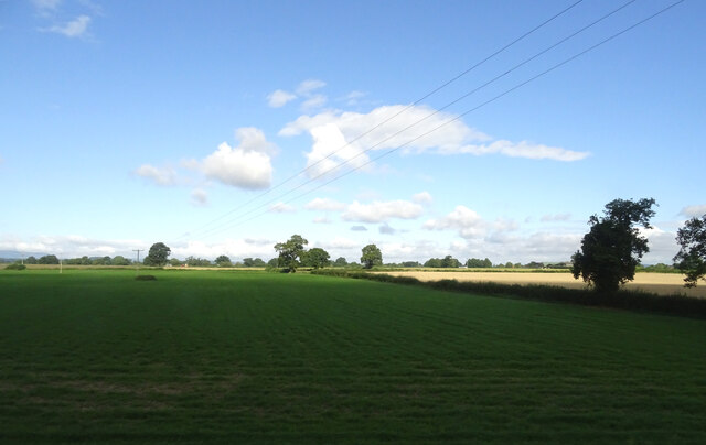
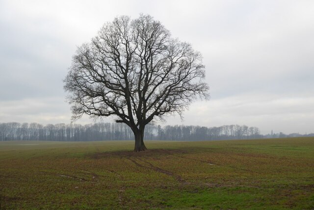
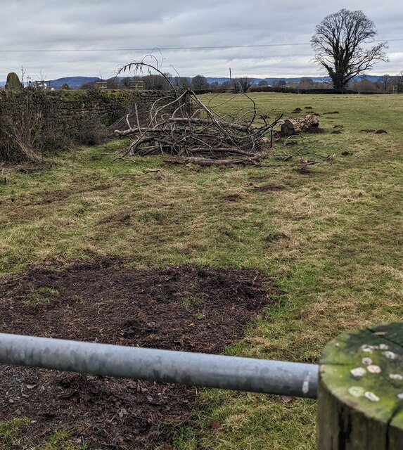
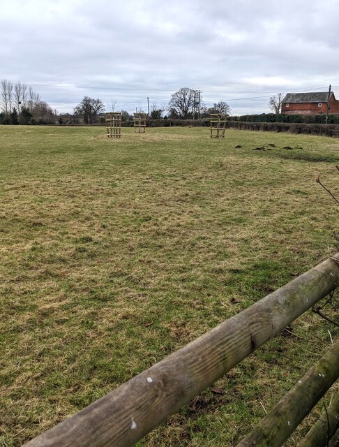
Cobhall Common is a picturesque rural area located in Herefordshire, England. Situated on the outskirts of the village of Fownhope, this charming common spans over an approximate area of 150 acres. The common is characterized by its lush green meadows, gentle rolling hills, and tranquil atmosphere, making it a popular destination for nature enthusiasts and locals seeking a peaceful retreat.

The common is known for its diverse wildlife and rich biodiversity, with an array of flora and fauna thriving within its boundaries. Visitors can spot various species of birds, such as larks and finches, as well as small mammals like rabbits and squirrels. The meadows are adorned with vibrant wildflowers during the summer months, providing a beautiful backdrop for leisurely walks and picnics.

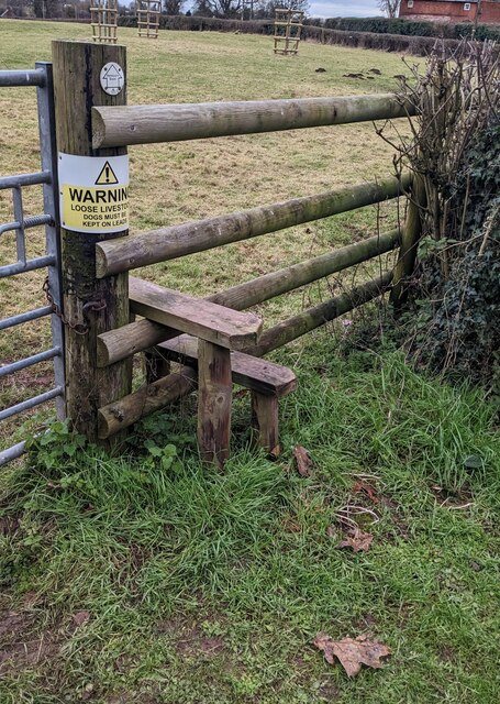
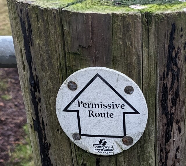
Cobhall Common also boasts a network of well-maintained footpaths, allowing visitors to explore the area and discover its natural wonders. These paths wind through the common, providing stunning views of the surrounding countryside and glimpses of the nearby River Wye.

The common is a popular spot for outdoor activities, including hiking, dog walking, and horse riding. It offers a sense of tranquility and a chance to connect with nature, making it an ideal spot for individuals seeking an escape from the hustle and bustle of daily life.

In conclusion, Cobhall Common is a scenic and serene location in Herefordshire, offering a beautiful natural landscape, diverse wildlife, and ample opportunities for outdoor recreation. Its peaceful atmosphere and stunning views make it a must-visit destination for both locals and tourists alike.

If you have any feedback on the listing, please let us know in the comments section below.

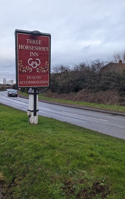
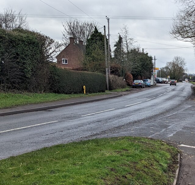
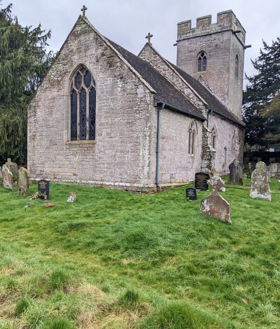
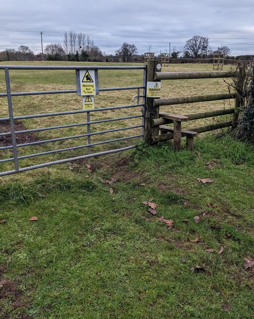
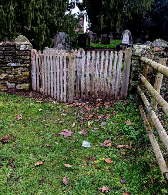
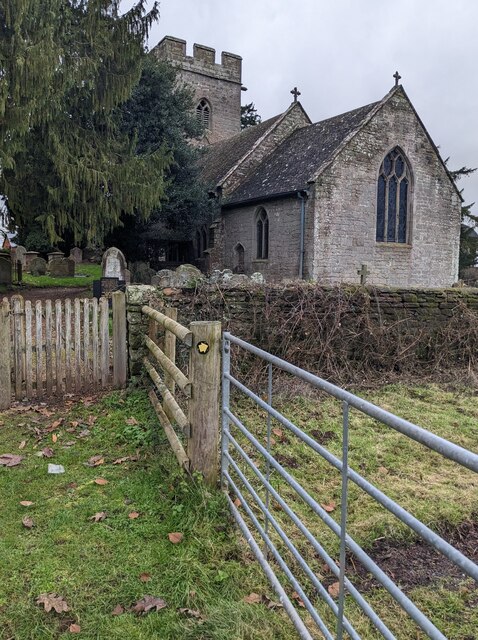
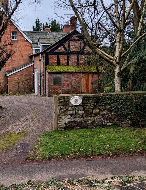
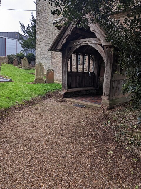
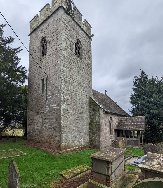
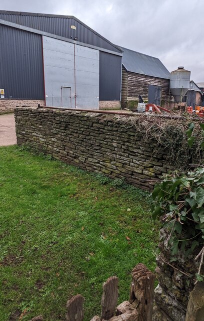
Cobhall Common Images

Images are sourced within 2km of 52.015372/-2.797975 or Grid Reference SO4535. Thanks to Geograph Open Source API. All images are credited.

Field near Coed More Farm
Lock's Garage Petrol station and general store on the A465 by its junction with the B4348.
Lock's Garage
Petrol station and general store on the A465 by its junction with the B4348.
Tree in a field A tree in an arable field at Arkstone Common.
Tree in a field
A tree in an arable field at Arkstone Common.
Three Horseshoes Inn, Allensmore, Herefordshire Set back from the B4348.
Three Horseshoes Inn, Allensmore, Herefordshire
Set back from the B4348.
Three Horseshoes Inn name sign, Allensmore, Herefordshire Alongside the B4348 a few metres from the inn. <a title="https://www.geograph.org.uk/photo/7392887" href="https://www.geograph.org.uk/photo/7392887">Link</a>
Three Horseshoes Inn name sign, Allensmore, Herefordshire
Alongside the B4348 a few metres from the inn. Link
SE along the B4348, Allensmore, Herefordshire Towards the A465 junction.
SE along the B4348, Allensmore, Herefordshire
Towards the A465 junction.
St Bartholomew's Church, Thruxton Grade I Listed church in the Church of England Diocese of Hereford.
The church which dates from the 14th century was restored in 1866.
St Bartholomew's Church, Thruxton
Grade I Listed church in the Church of England Diocese of Hereford. The church which dates from the 14th century was restored in 1866.
Warning - Bull in field, Thruxton The warning is on a field gate near St Bartholomew's churchyard.
Warning - Bull in field, Thruxton
The warning is on a field gate near St Bartholomew's churchyard.
Stile access to a field, Thruxton Located near St Bartholomew's churchyard. The warning notice shows
"LOOSE LIVESTOCK. DOGS MUST BE KEPT ON LEADS"
Stile access to a field, Thruxton
Located near St Bartholomew's churchyard. The warning notice shows "LOOSE LIVESTOCK. DOGS MUST BE KEPT ON LEADS"
Permissive Route sign, Thruxton,  Herefordshire The Countryside & Conservation Service sign is on the post above the stile here. <a title="https://www.geograph.org.uk/photo/7394142" href="https://www.geograph.org.uk/photo/7394142">Link</a>
Permissive Route sign, Thruxton, Herefordshire
The Countryside & Conservation Service sign is on the post above the stile here. Link
Field near St Bartholomew's churchyard, Thruxton Viewed from here <a title="https://www.geograph.org.uk/photo/7394137" href="https://www.geograph.org.uk/photo/7394137">Link</a> in January 2023.
A perimeter wall of St Bartholomew's churchyard is on the left.
Field near St Bartholomew's churchyard, Thruxton
Viewed from here Link in January 2023. A perimeter wall of St Bartholomew's churchyard is on the left.
Winter view of a field, Thruxton, Herefordshire Viewed from here <a title="https://www.geograph.org.uk/photo/7394137" href="https://www.geograph.org.uk/photo/7394137">Link</a> in January 2023.
Winter view of a field, Thruxton, Herefordshire
Viewed from here Link in January 2023.
Churchyard entrance gates, Thruxton The entrance to St Bartholomew's churchyard in the Church of England Diocese of Hereford.
Churchyard entrance gates, Thruxton
The entrance to St Bartholomew's churchyard in the Church of England Diocese of Hereford.
Village church, Thruxton, Herefordshire This is Grade I Listed St Bartholomew's Church in the Church of England Diocese 
of Hereford. The church which dates from the 14th century was restored in 1866.
Village church, Thruxton, Herefordshire
This is Grade I Listed St Bartholomew's Church in the Church of England Diocese of Hereford. The church which dates from the 14th century was restored in 1866.
Church End Cottage, Thruxton, Herefordshire Viewed from St Bartholomew's churchyard.
Church End Cottage, Thruxton, Herefordshire
Viewed from St Bartholomew's churchyard.
Church porch, Thruxton, Herefordshire The entrance to St Bartholomew's Church in the Church of England Diocese of Hereford.
Church porch, Thruxton, Herefordshire
The entrance to St Bartholomew's Church in the Church of England Diocese of Hereford.
Church tower, Thruxton, Herefordshire The embattled tower is on the west side of St Bartholomew's 
Church in the Church of England Diocese of Hereford.
The church is Grade I Listed
Church tower, Thruxton, Herefordshire
The embattled tower is on the west side of St Bartholomew's Church in the Church of England Diocese of Hereford. The church is Grade I Listed
Farm buildings, Thruxton, Herefordshire Viewed from St Bartholomew's churchyard.
Farm buildings, Thruxton, Herefordshire
Viewed from St Bartholomew's churchyard.
Show me another place!

Cobhall Common is located at Grid Ref: SO4535 (Lat: 52.015372, Lng: -2.797975)

Unitary Authority: County of Herefordshire

Police Authority: West Mercia

What 3 Words

///ordeals.rent.easels. Near Thruxton, Herefordshire

Nearby Locations

Cobhall Common Allensmore

Related Wikis

Allensmore

Allensmore is a village in Herefordshire, England. It is located on the A465 road about 4 miles (6 km) south-west of Hereford. The church is dedicated...

Kingstone, Herefordshire

Kingstone is a civil parish and a large village in rural Herefordshire, England. It lies within the historic area of Archenfield, near the Welsh border...

Thruxton, Herefordshire

Thruxton is a small rural village and civil parish in Herefordshire, England. It is located within the historic area of Archenfield, near the Welsh border...

Clehonger

Clehonger is a village and civil parish in Herefordshire, England, and 7 km (4.3 mi) south-west of Hereford. Clehonger is from the old English 'Clayey...

Tram Inn railway station

Tram Inn railway station was a station to the east of Thruxton, Herefordshire, England. It was named after a local public house, itself named after a tramway...

Treville, Herefordshire

Treville (called in Welsh Trefelin) is a rural area and former royal forest in the English county of Herefordshire. It is near Wormbridge and other small...

Haywood, Herefordshire

Haywood is a civil parish in Herefordshire, England, and south-west of Hereford. Parish population at the 2011 census was 216. There are no substantial...

Kingstone High School

Kingstone High School is a mixed secondary school located in Kingstone in the English county of Herefordshire.Previously a community school administered...

Nearby Amenities

Located within 500m of 52.015372,-2.797975
Bus Stop
Cobhall Common
Bench: no
Naptan AtcoCode: 2090A075400
Naptan Bearing: NE
Naptan CommonName: Cobhall Common
Naptan Indicator: opp Common
Naptan Landmark: Richmond Cottage
Naptan NaptanCode: heradjga
Naptan Street: N/K
Naptan Verified: no
Shelter: no
Source: naptan_import
Lat/Long: 52.015532/-2.797727
Bus Stop
Cobhall Common
Bench: no
Naptan AtcoCode: 2090A19087
Naptan Bearing: SW
Naptan BusStopType: CUS
Naptan CommonName: Cobhall Common
Naptan Indicator: adj Common
Naptan Landmark: Richmond Cottage
Naptan NaptanCode: herajpjp
Naptan Street: N/K
Naptan Verified: no
Shelter: no
Source: naptan_import
Lat/Long: 52.01547/-2.7976418
Cobhall
Place: hamlet
Source: NPE + Personal knowledge
Lat/Long: 52.0187727/-2.8007727
Cobhall Common
Place: hamlet
Source: NPE
Lat/Long: 52.0156397/-2.7963471
Barrier: stile
Lat/Long: 52.0167498/-2.7977208
Barrier: stile
Source: survey
Lat/Long: 52.0159996/-2.7913801
Access: yes
Barrier: kissing_gate
Lat/Long: 52.018673/-2.7933816
Barrier: kissing_gate
Lat/Long: 52.0168274/-2.7911032
Barrier: stile
Lat/Long: 52.0148515/-2.7950605
Public Bookcase
Book Club
Booth: KX100
Disused Amenity: telephone
Man Made: telephone_box
Public Bookcase Type: phone_box
Lat/Long: 52.0154961/-2.7975823
Post Box
Post Box Type: lamp
Lat/Long: 52.0154821/-2.7976051
The data included in this document is from www.openstreetmap.org. The data is made available under ODbL.

Have you been to Cobhall Common?

Leave your review of Cobhall Common below (or comments, questions and feedback).