Coberley
Settlement in Gloucestershire Cotswold
England
Coberley

Coberley is a small village located in the Cotswold district of Gloucestershire, England. Situated approximately five miles southwest of Cheltenham, it is a picturesque and quintessentially English village known for its idyllic countryside and charming cottages.
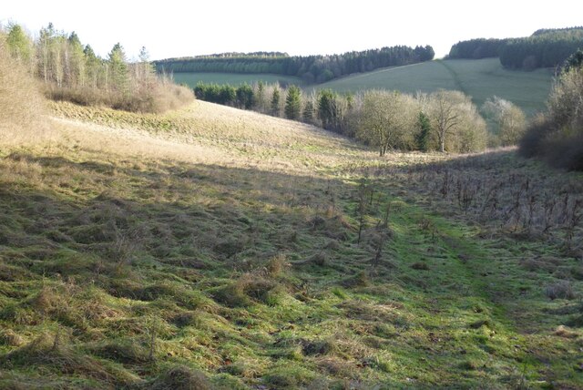
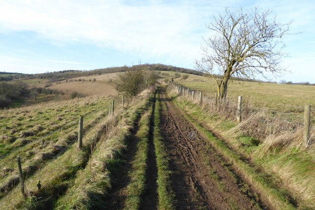
With a population of around 400 residents, Coberley offers a peaceful and close-knit community atmosphere. The village is surrounded by rolling green hills, meadows, and farmland, making it a popular destination for nature enthusiasts and hikers. The Cotswold Way, a renowned long-distance walking trail, passes through Coberley, providing visitors with stunning views of the surrounding landscape.
Coberley is home to St. Giles' Church, a Grade I listed building dating back to the 12th century. The church features a unique medieval stained glass window and a Norman font, attracting history enthusiasts and architecture admirers.
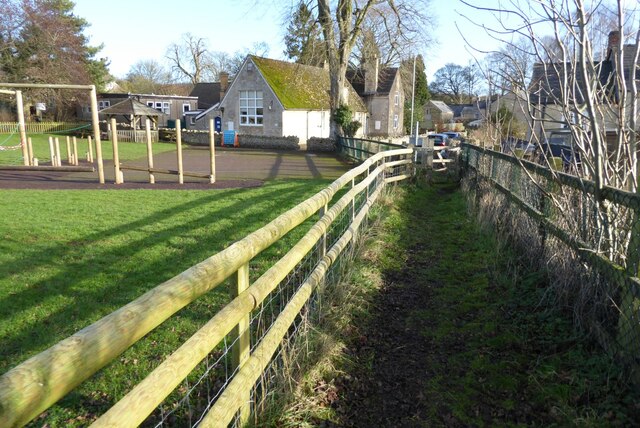
Although Coberley is primarily a residential village, it benefits from its proximity to Cheltenham, which offers a wider range of amenities including shops, restaurants, and entertainment venues. The village also has a primary school, providing education for local children.
Coberley hosts a number of community events throughout the year, including a summer fete and Christmas festivities, which bring residents together and foster a strong sense of community spirit.
Overall, Coberley offers a tranquil and picturesque setting, with its beautiful countryside, historic church, and friendly community making it an attractive place to visit or call home.
If you have any feedback on the listing, please let us know in the comments section below.
Coberley Images
Images are sourced within 2km of 51.842682/-2.055606 or Grid Reference SO9616. Thanks to Geograph Open Source API. All images are credited.


Coberley is located at Grid Ref: SO9616 (Lat: 51.842682, Lng: -2.055606)
Administrative County: Gloucestershire
District: Cotswold
Police Authority: Gloucestershire
What 3 Words
///scarecrow.composer.punt. Near Charlton Kings, Gloucestershire
Nearby Locations
Related Wikis

Coberley
Coberley is a village and civil parish in the Cotswold District of Gloucestershire in England, 4 miles (6.4 km) south of Cheltenham. It lies at the confluence...
Seven Springs, Gloucestershire
Seven Springs is a hamlet in the heavily wooded parish of Coberley in the Cotswold District of Gloucestershire in England, 4 miles (6.4 km) south of Cheltenham...

Cowley, Gloucestershire
Cowley is a village and civil parish in the Cotswold District of Gloucestershire, England. It lies between the A417 and A435 roads between Cheltenham...

National Star College
The National Star College (previously known as the Star Centre) is an independent specialist further education college for people with physical disabilities...

Ullenwood
Ullenwood is a village in the Coberley civil parish, near Cheltenham in Gloucestershire. It is the site of a formerly secret civil defence bunker intended...

The Air Balloon, Birdlip
The Air Balloon is a road junction and former pub Birdlip, Gloucestershire, England. The junction is on the A417 at a significant congestion point. The...

Devil's Chimney (Gloucestershire)
The Devil's Chimney is a limestone rock formation that stands above a disused quarry in Leckhampton, near Cheltenham, Gloucestershire, England. It is named...
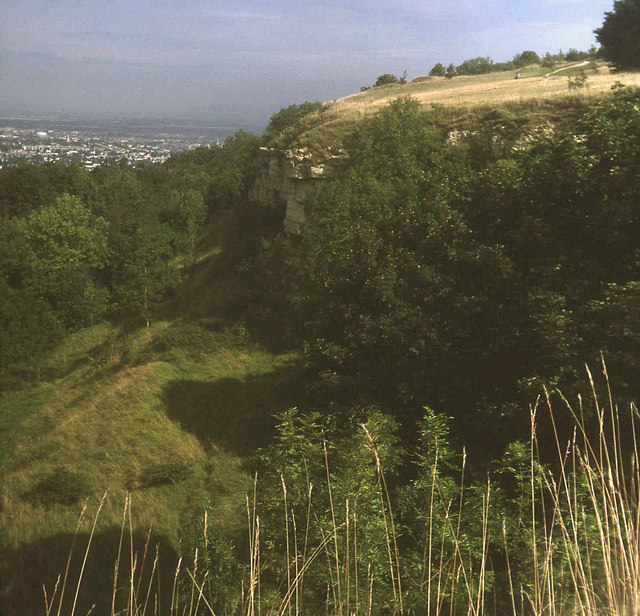
Leckhampton Hill and Charlton Kings Common
Leckhampton Hill and Charlton Kings Common (grid reference SO952187) is a 63.8-hectare (158-acre) biological and geological Site of Special Scientific...
Nearby Amenities
Located within 500m of 51.842682,-2.055606Have you been to Coberley?
Leave your review of Coberley below (or comments, questions and feedback).